Tweed Hill
Hill, Mountain in Yorkshire Craven
England
Tweed Hill
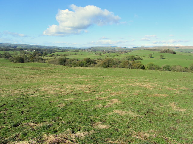
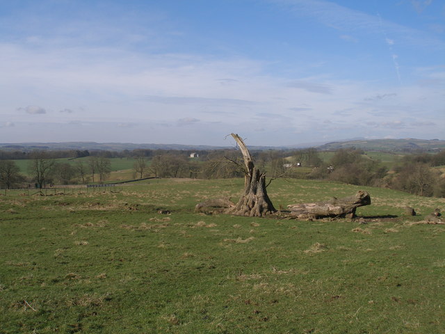
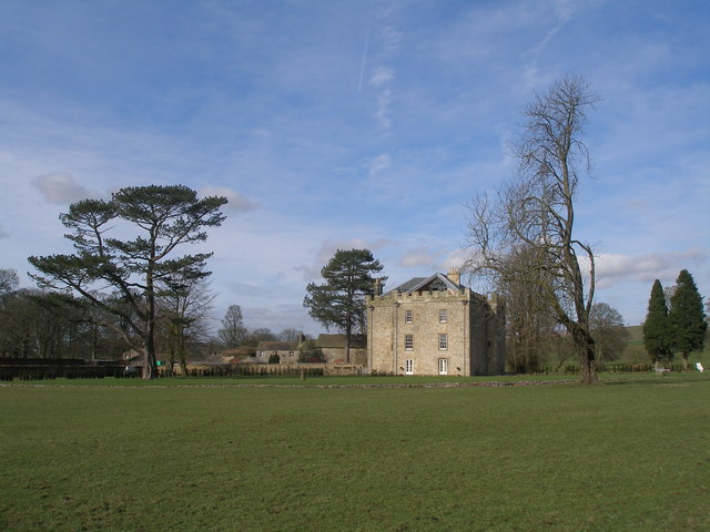
Tweed Hill is a prominent hill located in the beautiful region of Yorkshire, England. Standing at an elevation of approximately 450 meters (1476 feet), it is considered one of the higher peaks in the area. The hill is situated within the Yorkshire Dales National Park, renowned for its stunning landscapes and picturesque countryside.
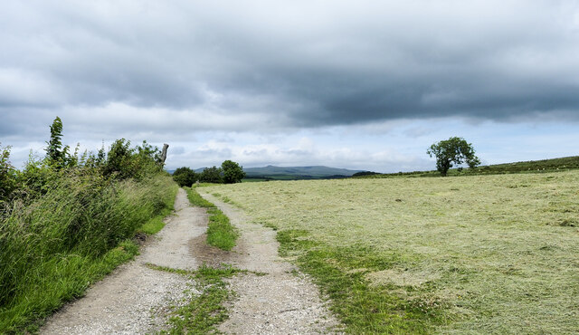
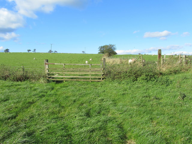
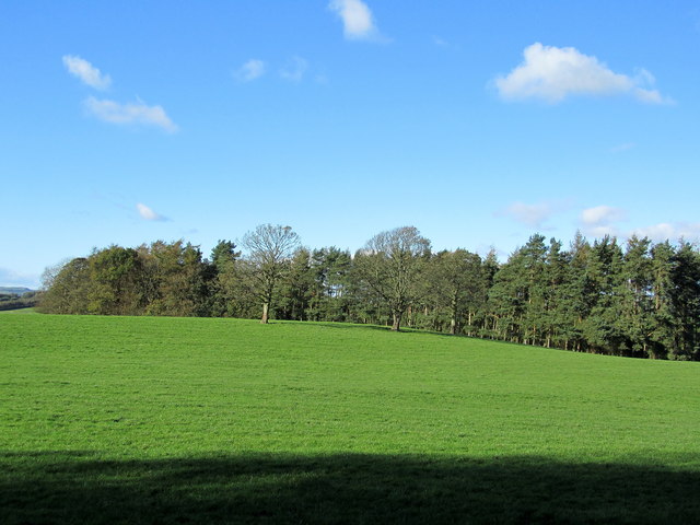
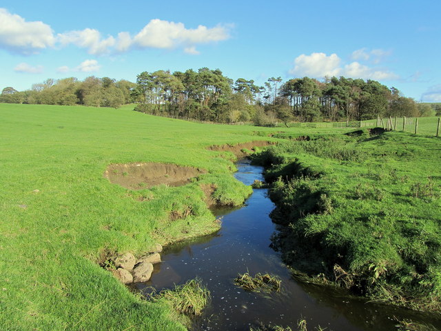
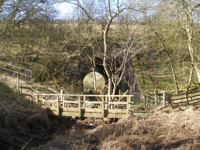
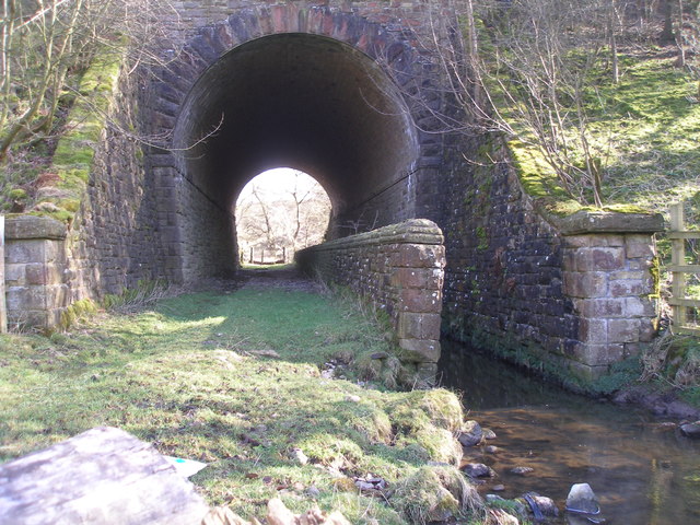
Tweed Hill offers breathtaking panoramic views of the surrounding countryside, with rolling hills, lush valleys, and charming villages dotting the landscape. The hill is covered in a patchwork of green pastures and is home to diverse flora and fauna, adding to its natural beauty.
Hikers and outdoor enthusiasts are drawn to Tweed Hill for its excellent walking trails and challenging treks. The area offers a range of routes suitable for all abilities, from leisurely strolls to more adventurous hikes. The hill's summit is often a popular destination, rewarding climbers with unparalleled vistas and a sense of accomplishment.
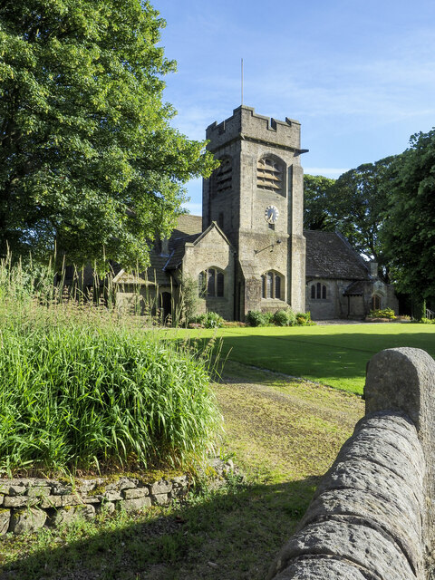
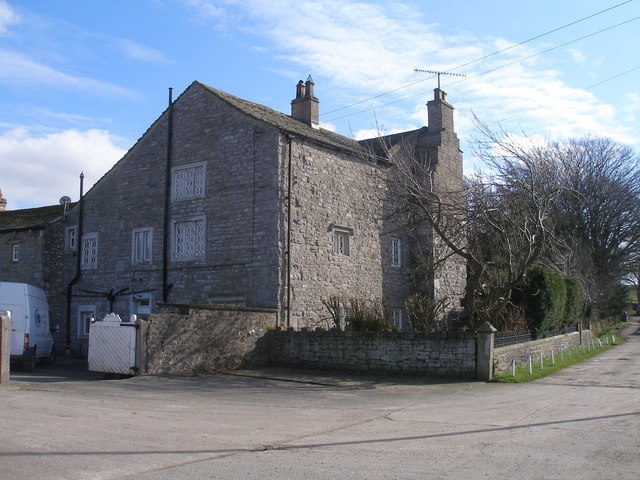
The village of Tweed, located at the base of the hill, provides a tranquil setting for visitors to unwind and explore. With its quaint stone cottages and friendly locals, the village offers a glimpse into traditional Yorkshire life. There are also various amenities available, including accommodation options, local pubs, and cafes, making it a convenient base for exploring the area.
Overall, Tweed Hill in Yorkshire is a remarkable destination for nature lovers and outdoor enthusiasts looking to immerse themselves in the picturesque Yorkshire countryside. Its stunning vistas, diverse wildlife, and charming surroundings make it an unforgettable place to visit.
If you have any feedback on the listing, please let us know in the comments section below.
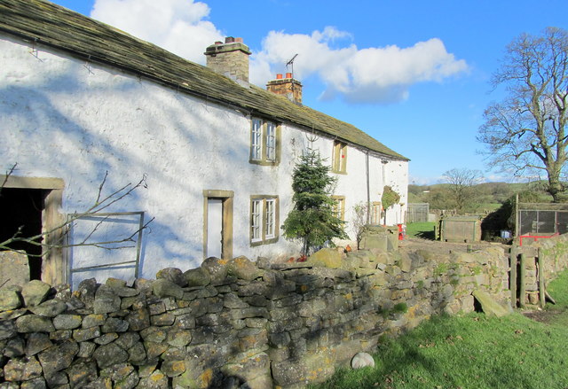
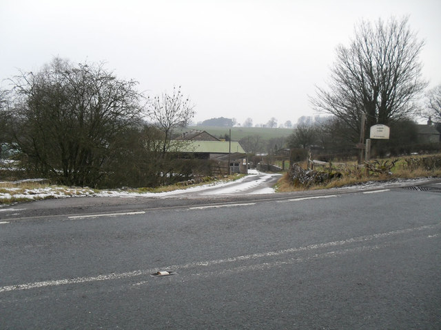
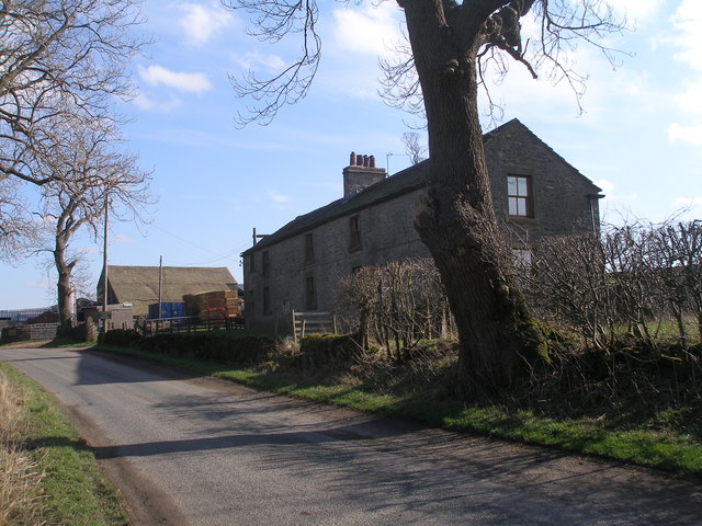
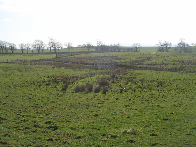
Tweed Hill Images
Images are sourced within 2km of 53.988179/-2.2062931 or Grid Reference SD8654. Thanks to Geograph Open Source API. All images are credited.

Tweed Hill is located at Grid Ref: SD8654 (Lat: 53.988179, Lng: -2.2062931)
Division: West Riding
Administrative County: North Yorkshire
District: Craven
Police Authority: North Yorkshire
What 3 Words
///really.houseboat.hikes. Near Hellifield, North Yorkshire
Nearby Locations
Related Wikis

Swinden
Swinden is a village in the civil parish of Hellifield, in North Yorkshire, England. It is near Halton West and Nappa and about 7 miles north of Barnoldswick...

Nappa, North Yorkshire
Nappa is a hamlet in the civil parish of Hellifield, in North Yorkshire, England. It is on the A682 road and 6 miles (9.7 km) north-west of Barnoldswick...

Hellifield
Hellifield is a village and civil parish in the Craven district of North Yorkshire, England (grid reference SD855565). Historically part of the West Riding...

Halton West
Halton West is a village and civil parish in the Craven district of North Yorkshire, England. North Yorkshire County Council estimated the population in...

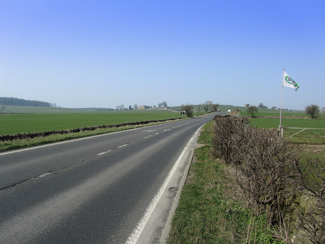
A65 road
The A65 is a major road in England. It runs north west from Leeds in West Yorkshire via Kirkstall, Horsforth, Yeadon, Guiseley, Ilkley and Skipton, west...
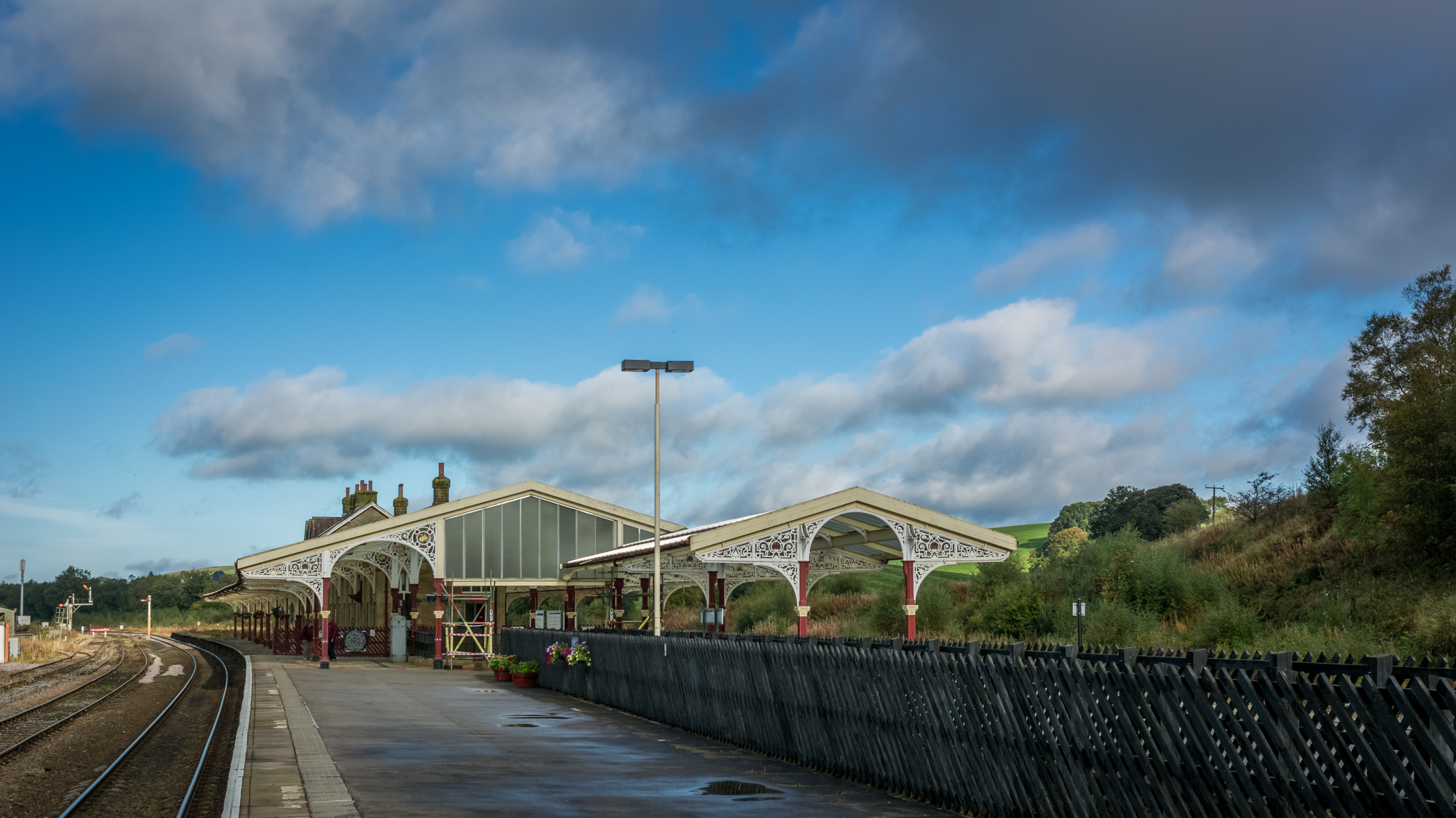
Hellifield railway station
Hellifield is a railway station on the Bentham Line, which runs between Leeds and Morecambe via Skipton. The station, situated 36 miles 17 chains (58.3...

Aire Gap
Aire Gap is a pass through the Pennines in England formed by geologic faults and carved out by glaciers. The term is used to describe a geological division...

Hellifield engine shed
Hellifield Engine Shed was a railway locomotive depot adjacent to Hellifield railway station in North Yorkshire, England. The depot opened in 1880 and...
Nearby Amenities
Located within 500m of 53.988179,-2.2062931Have you been to Tweed Hill?
Leave your review of Tweed Hill below (or comments, questions and feedback).