Swinden Gill Wood

Wood, Forest in Yorkshire Craven

England

Swinden Gill Wood

Farm road at field edge A fairly crude, hard-surfaced road at the edge of a field of cut grass, north of the location at Hill Hey.
Farm road at field edge Credit: Trevor Littlewood

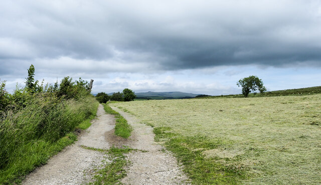
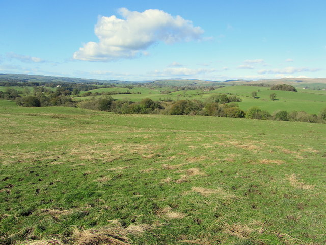
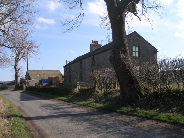
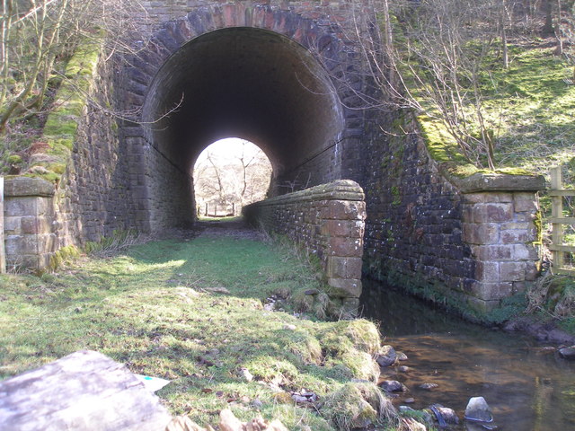
Swinden Gill Wood is a picturesque woodland located in the county of Yorkshire, England. Nestled within the Yorkshire Dales National Park, this enchanting forest covers an area of approximately 50 acres and is a popular destination for nature enthusiasts and hikers alike.

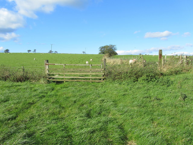
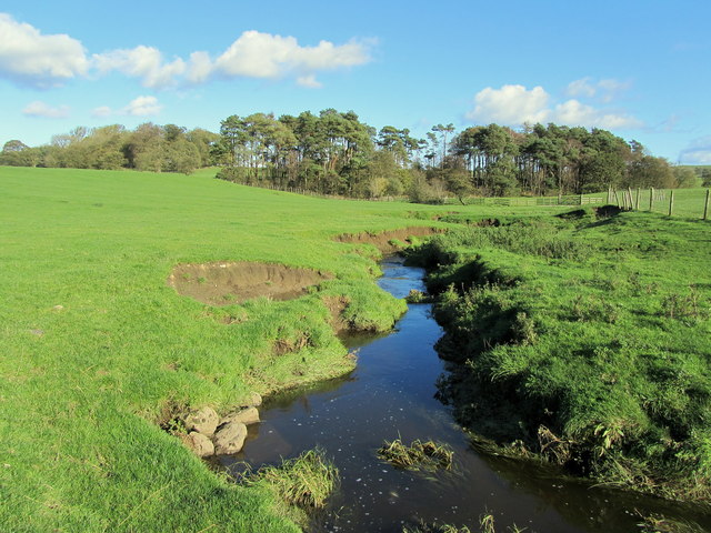
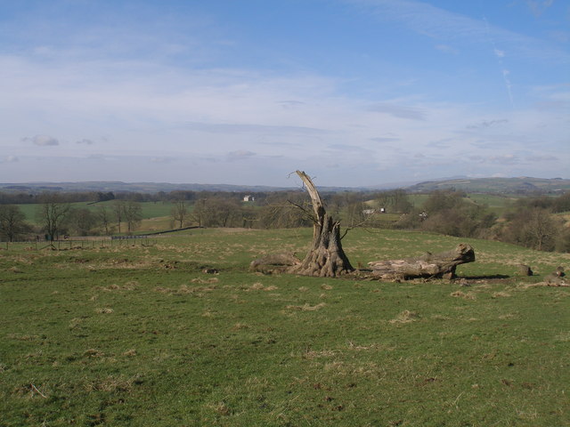
The woodland is characterized by a diverse range of flora and fauna, including ancient oak and beech trees that provide a dense canopy, creating a cool and shaded environment. The forest floor is adorned with a carpet of bluebells and wildflowers during the spring months, adding a burst of color to the landscape.

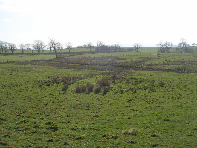
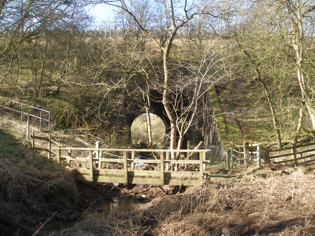
Traversing through Swinden Gill Wood, visitors can enjoy a network of well-maintained walking trails that wind their way through the forest. These trails offer breathtaking views of the surrounding countryside, with glimpses of rolling hills, meandering streams, and rugged limestone cliffs.

The wood is also home to a variety of wildlife, with sightings of deer, squirrels, and a wide array of bird species being common. Nature enthusiasts may be lucky enough to spot rare species such as red kites and peregrine falcons, which have made this woodland their habitat.

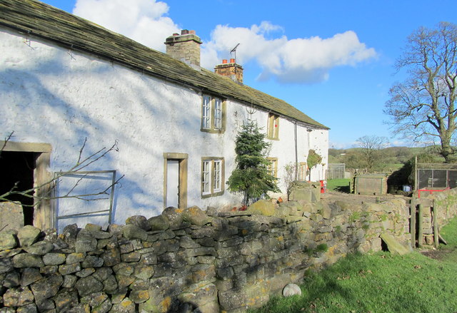
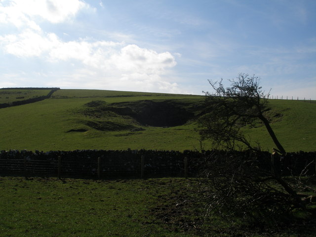
Swinden Gill Wood is not only a haven for nature lovers but also holds historical significance. The woodland is believed to have been part of a medieval hunting forest and remnants of ancient earthworks can still be seen within its boundaries.

With its natural beauty, diverse wildlife, and historical charm, Swinden Gill Wood offers a serene and captivating experience for visitors seeking a peaceful escape into nature.

If you have any feedback on the listing, please let us know in the comments section below.

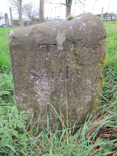
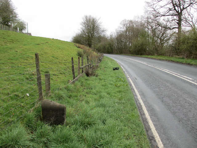
Swinden Gill Wood Images

Images are sourced within 2km of 53.982327/-2.2066454 or Grid Reference SD8654. Thanks to Geograph Open Source API. All images are credited.

Farm road at field edge A fairly crude, hard-surfaced road at the edge of a field of cut grass, north of the location at Hill Hey.
Farm road at field edge
A fairly crude, hard-surfaced road at the edge of a field of cut grass, north of the location at Hill Hey.
Railway Bridge at Nappa The A682 Gisburn/Long Preston Road at the scattered community of Nappa as it is crossed by a railway bridge.  It carries a mineral line that connects Clitheroe to Hellifield.
Railway Bridge at Nappa
The A682 Gisburn/Long Preston Road at the scattered community of Nappa as it is crossed by a railway bridge. It carries a mineral line that connects Clitheroe to Hellifield.
View over Swinden Gill Beck Sheer pergutory walking over this hill - it was so boggy that it was constantly sucking my boots off, I was obliged to leave the official footpath to find an easier way down towards Swinden Gill Beck
View over Swinden Gill Beck
Sheer pergutory walking over this hill - it was so boggy that it was constantly sucking my boots off, I was obliged to leave the official footpath to find an easier way down towards Swinden Gill Beck
Cotter Hill Following a right of way from Swinden northwards towards the A682, near Halton West
Cotter Hill
Following a right of way from Swinden northwards towards the A682, near Halton West
Ged Beck looking Downstream Crossing this stream below Black Plantation the scene looks down Ged Beck towards Gallaber Hole Plantation, on its journey to the River Ribble.
Ged Beck looking Downstream
Crossing this stream below Black Plantation the scene looks down Ged Beck towards Gallaber Hole Plantation, on its journey to the River Ribble.
Nappa Flats Farmhouse in the countryside of Mid Ribblesdale
Nappa Flats
Farmhouse in the countryside of Mid Ribblesdale
Nappa Manor Farm entrance
Old quarry near Flambers Hill
Swinden Moor Head Farm
Enclosure on Swinden Moor Well the Ordnance Survey say it's an enclosure!   The earthworks are clearer on the ground than in the photo
Enclosure on Swinden Moor
Well the Ordnance Survey say it's an enclosure! The earthworks are clearer on the ground than in the photo
Fallen tree by the footpath near Cobers Laithe
Path and stream go under the railway at Swinden Gill
Swinden Hall
Swinden Hall
Hellifield Peel
Hellifield Peel
Milestone 'To Gisburn 5 Miles' This old milestone is on the A682 near the lane to Goosmere Height. The other side reads 'To Settle 6 Miles' <a href="https://www.geograph.org.uk/photo/2890378">SD8555 : Milestone 'To Settle 6 Miles'</a>. Old Ordnance Survey maps indicate a bench mark on this stone but I couldn't find any sign of it. For details of the mark see: <span class="nowrap"><a title="http://www.bench-marks.org.uk/bm31761" rel="nofollow ugc noopener" href="http://www.bench-marks.org.uk/bm31761">Link</a><img style="margin-left:2px;" alt="External link" title="External link - shift click to open in new window" src="https://s1.geograph.org.uk/img/external.png" width="10" height="10"/></span>
Milestone 'To Gisburn 5 Miles'
This old milestone is on the A682 near the lane to Goosmere Height. The other side reads 'To Settle 6 Miles' SD8555 : Milestone 'To Settle 6 Miles'. Old Ordnance Survey maps indicate a bench mark on this stone but I couldn't find any sign of it. For details of the mark see: LinkExternal link
Milestone 'To Settle 6 Miles' This old milestone is on the A682 near the lane to Goosmere Height. The other side reads 'To Gisburn 5 Miles' <a href="https://www.geograph.org.uk/photo/2890358">SD8555 : Milestone 'To Gisburn 5 Miles'</a>. Old Ordnance Survey maps indicate a bench mark on this stone but I couldn't find any sign of it.
Milestone 'To Settle 6 Miles'
This old milestone is on the A682 near the lane to Goosmere Height. The other side reads 'To Gisburn 5 Miles' SD8555 : Milestone 'To Gisburn 5 Miles'. Old Ordnance Survey maps indicate a bench mark on this stone but I couldn't find any sign of it.
A milestone on the A682 This old milestone is near the lane to Goosmere Height. The near face states 'To Settle 6 Miles' see <a href="https://www.geograph.org.uk/photo/2890358">SD8555 : Milestone 'To Gisburn 5 Miles'</a> and the far side 'To Gisburn 5 Miles' see <a href="https://www.geograph.org.uk/photo/2890378">SD8555 : Milestone 'To Settle 6 Miles'</a>.  Old Ordnance Survey maps indicate that there was once a bench mark on the stone but I was unable to find one.
A milestone on the A682
This old milestone is near the lane to Goosmere Height. The near face states 'To Settle 6 Miles' see SD8555 : Milestone 'To Gisburn 5 Miles' and the far side 'To Gisburn 5 Miles' see SD8555 : Milestone 'To Settle 6 Miles'. Old Ordnance Survey maps indicate that there was once a bench mark on the stone but I was unable to find one.
Show me another place!

Swinden Gill Wood is located at Grid Ref: SD8654 (Lat: 53.982327, Lng: -2.2066454)

Division: West Riding

Administrative County: North Yorkshire

District: Craven

Police Authority: North Yorkshire

What 3 Words

///slicing.signal.preheated. Near Hellifield, North Yorkshire

Related Wikis

Swinden

Swinden is a village in the civil parish of Hellifield, in North Yorkshire, England. It is near Halton West and Nappa and about 7 miles north of Barnoldswick...

Nappa, North Yorkshire

Nappa is a hamlet in the civil parish of Hellifield, in North Yorkshire, England. It is on the A682 road and 6 miles (9.7 km) north-west of Barnoldswick...

Halton West

Halton West is a village and civil parish in the Craven district of North Yorkshire, England. North Yorkshire County Council estimated the population in...

Hellifield

Hellifield is a village and civil parish in the Craven district of North Yorkshire, England (grid reference SD855565). Historically part of the West Riding...

A65 road

The A65 is a major road in England. It runs north west from Leeds in West Yorkshire via Kirkstall, Horsforth, Yeadon, Guiseley, Ilkley and Skipton, west...

Aire Gap

Aire Gap is a pass through the Pennines in England formed by geologic faults and carved out by glaciers. The term is used to describe a geological division...

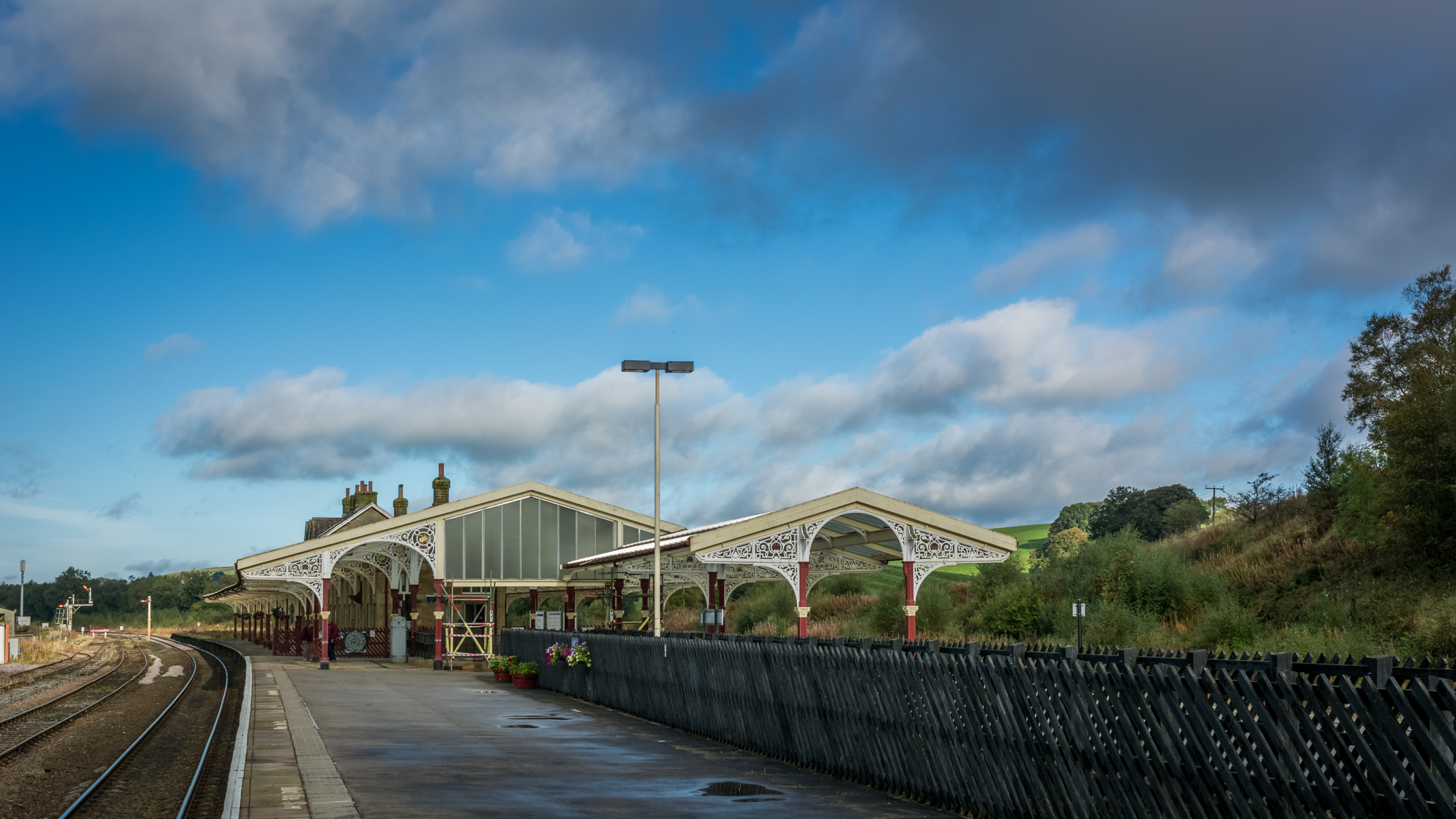
Hellifield railway station

Hellifield is a railway station on the Bentham Line, which runs between Leeds and Morecambe via Skipton. The station, situated 36 miles 17 chains (58.3...

Gledstone Hall

Gledstone Hall is a 20th-century country house in West Marton, near Skipton, North Yorkshire, England. Designed by Edwin Lutyens it stands in a 12-hectare...

Have you been to Swinden Gill Wood?

Leave your review of Swinden Gill Wood below (or comments, questions and feedback).