Gallow Hill
Hill, Mountain in Kincardineshire
Scotland
Gallow Hill
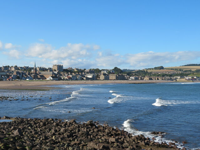
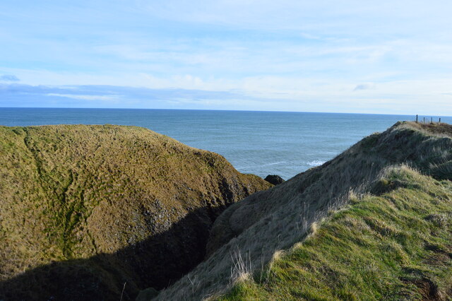
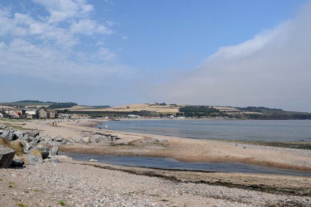
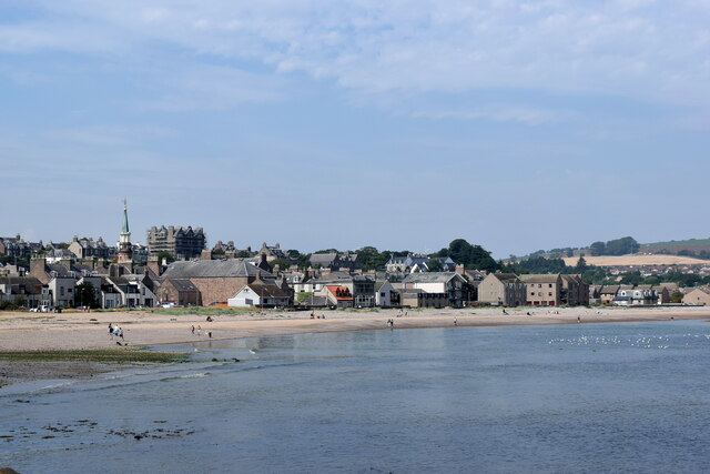
Gallow Hill is a prominent hill located in Kincardineshire, Scotland. Standing at an elevation of approximately 335 meters (1,099 feet), it is a notable landmark in the surrounding area. The hill is situated near the town of Stonehaven and offers breathtaking panoramic views of the surrounding countryside and the North Sea.
Gallow Hill is known for its historical significance, as it was once the site of a gallows where public executions took place in the past. The name "Gallow" originates from this grim history. Today, only traces of the gallows remain, and the hill serves as a reminder of the area's dark past.
The hill itself is predominantly covered in grass and heather, with scattered trees dotting its slopes. It is a popular spot for hiking enthusiasts who are drawn to its picturesque beauty and the challenging ascent it offers. The path leading to the summit is well-maintained, making it accessible to both experienced hikers and casual walkers.
At the top of Gallow Hill, visitors are rewarded with stunning vistas spanning the coastline and the rolling hills of Kincardineshire. On clear days, it is even possible to catch a glimpse of Dunnottar Castle, a historic fortress nestled on a nearby cliff. The hill's strategic location and commanding views make it an ideal spot for photography and nature appreciation.
In summary, Gallow Hill in Kincardineshire is a significant landmark with a haunting past. Its elevation, captivating scenery, and historical importance make it an attraction for those seeking outdoor adventure and a glimpse into the region's history.
If you have any feedback on the listing, please let us know in the comments section below.
Gallow Hill Images
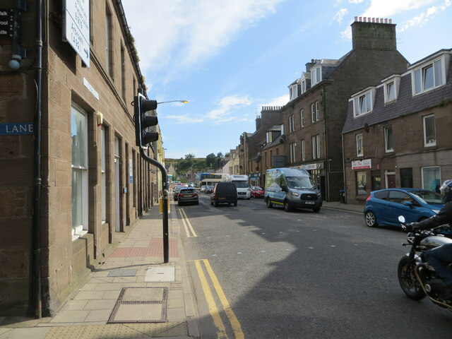
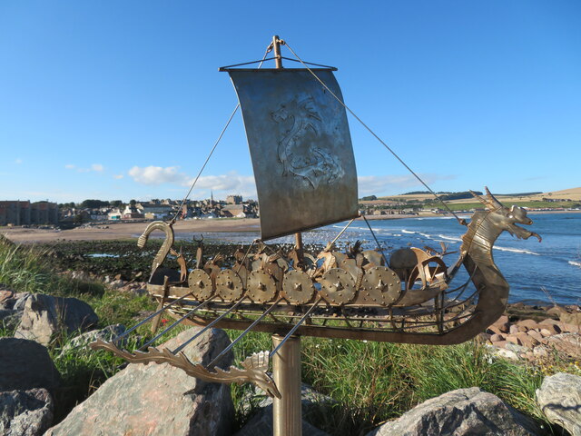
Images are sourced within 2km of 56.954902/-2.2247483 or Grid Reference NO8684. Thanks to Geograph Open Source API. All images are credited.


Gallow Hill is located at Grid Ref: NO8684 (Lat: 56.954902, Lng: -2.2247483)
Unitary Authority: Aberdeenshire
Police Authority: North East
What 3 Words
///betrayal.tornado.meatball. Near Stonehaven, Aberdeenshire
Nearby Locations
Related Wikis

Dunnottar Parish Church
Dunnottar Parish Church is a parish church of the Church of Scotland, serving Stonehaven in the south of Aberdeenshire, Scotland. It is within the Church...
Woodcot Hospital
Woodcot Hospital was a health facility in Woodcot Brae, Stonehaven, Scotland. It is a Category B listed building. == History == The hospital had its origins...

Red Cloak
Red Cloak is an industrial area of Stonehaven, Aberdeenshire, Scotland. The site's settlement history is associated with events at the nearby Chapel of...
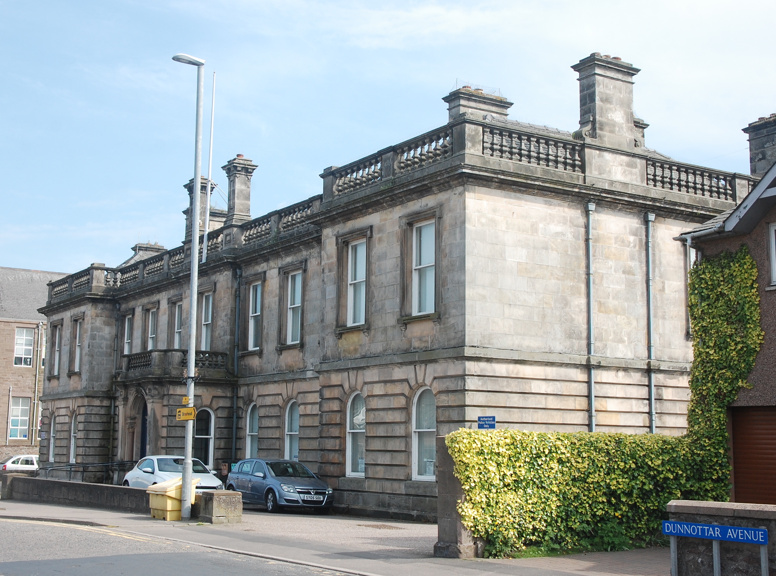
Stonehaven Sheriff Court
Stonehaven Sheriff Court, formerly known as County Buildings, is a judicial structure in Dunnottar Avenue, Stonehaven, Aberdeenshire, Scotland. The structure...
Nearby Amenities
Located within 500m of 56.954902,-2.2247483Have you been to Gallow Hill?
Leave your review of Gallow Hill below (or comments, questions and feedback).