Beanland Hill

Hill, Mountain in Yorkshire Ribble Valley

England

Beanland Hill

Ordnance Survey Cut Mark This mark can be found on a field gatepost beside knot Lane at White Hill.
The benchmark has a recorded height of 153.6954 metres above sea level.
For more detail see : <span class="nowrap"><a title="https://www.bench-marks.org.uk/bm121976" rel="nofollow ugc noopener" href="https://www.bench-marks.org.uk/bm121976">Link</a><img style="margin-left:2px;" alt="External link" title="External link - shift click to open in new window" src="https://s1.geograph.org.uk/img/external.png" width="10" height="10"/></span>
Ordnance Survey Cut Mark Credit: Peter Wood

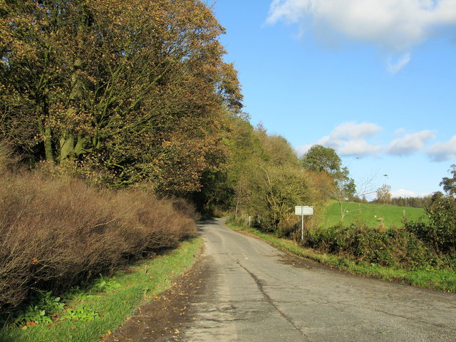
Beanland Hill is a prominent hill located in the picturesque region of Yorkshire, England. Situated in the northern part of the county, it forms part of the North York Moors National Park, renowned for its stunning natural beauty and diverse wildlife. Beanland Hill stands at an elevation of approximately 350 meters (1150 feet), making it a notable peak in the area.

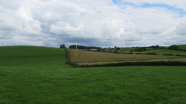
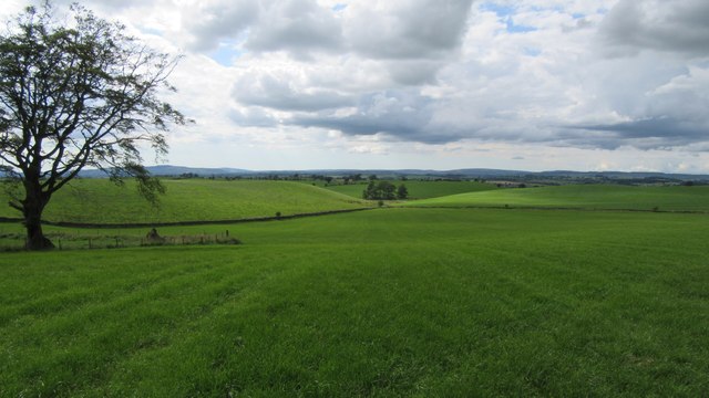
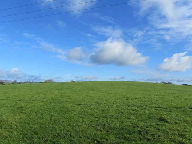
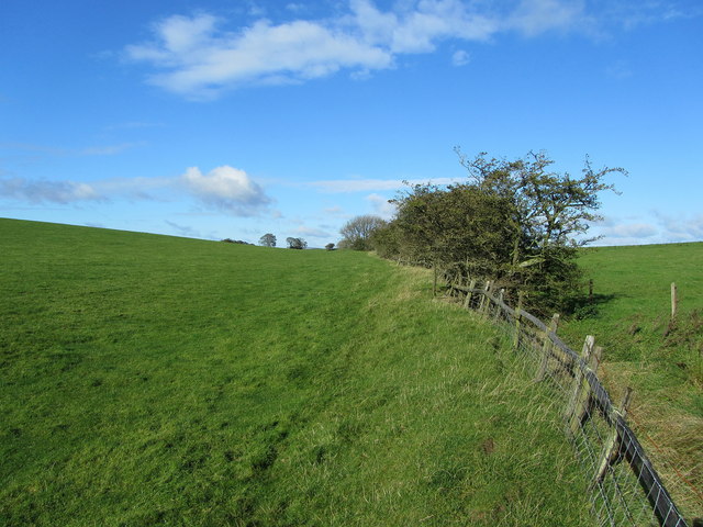
The hill is characterized by its gently sloping sides and rolling landscape, covered in lush green grass and scattered with heather and wildflowers. Its unique geographical features are a result of glacial activity during the last ice age, which sculpted the hill and surrounding valleys.

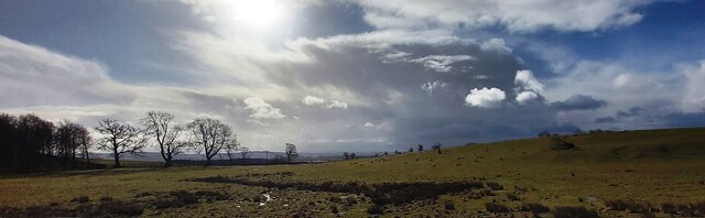
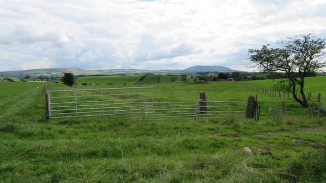
From the summit of Beanland Hill, visitors are rewarded with breathtaking panoramic views of the surrounding countryside. On a clear day, one can see the sprawling moorlands, quaint villages, and the distant North Sea shimmering in the horizon. The hill is a popular spot for outdoor enthusiasts and hikers, offering a range of trails and paths to explore the area's natural wonders.

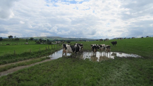
The hill is also home to a variety of wildlife, including birds of prey, such as kestrels and buzzards, as well as smaller mammals like rabbits and foxes. Rare plant species, like the vibrant purple heather, can also be found dotting the landscape, adding to the area's natural charm.

Overall, Beanland Hill in Yorkshire is a captivating destination for those seeking to immerse themselves in the beauty of nature and experience the tranquility of the English countryside.

If you have any feedback on the listing, please let us know in the comments section below.

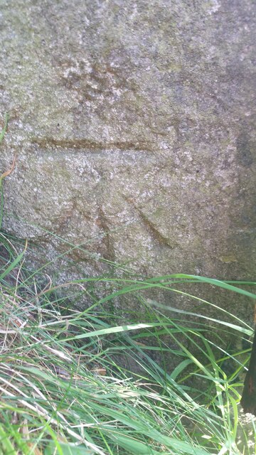
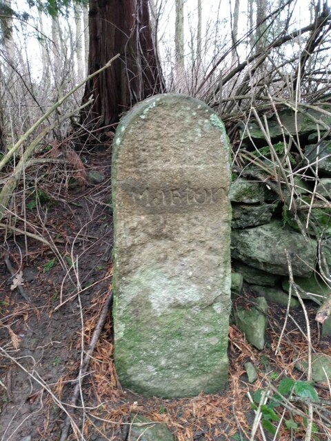
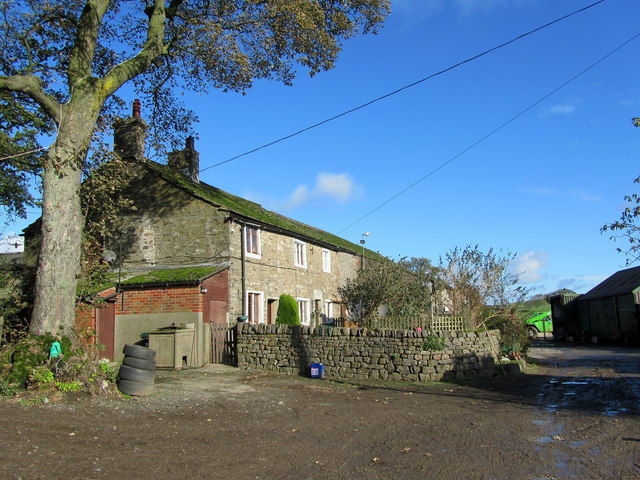
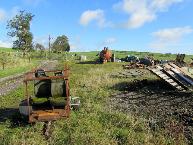
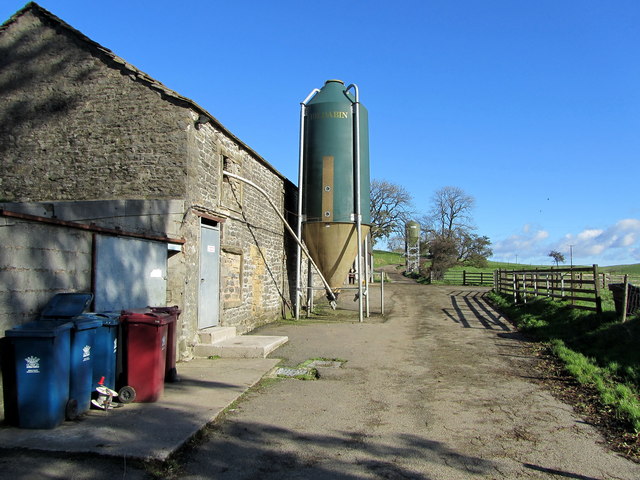
Beanland Hill Images

Images are sourced within 2km of 53.946623/-2.2094853 or Grid Reference SD8650. Thanks to Geograph Open Source API. All images are credited.

Ordnance Survey Cut Mark This mark can be found on a field gatepost beside knot Lane at White Hill.
The benchmark has a recorded height of 153.6954 metres above sea level.
For more detail see : <span class="nowrap"><a title="https://www.bench-marks.org.uk/bm121976" rel="nofollow ugc noopener" href="https://www.bench-marks.org.uk/bm121976">Link</a><img style="margin-left:2px;" alt="External link" title="External link - shift click to open in new window" src="https://s1.geograph.org.uk/img/external.png" width="10" height="10"/></span>
Ordnance Survey Cut Mark
This mark can be found on a field gatepost beside knot Lane at White Hill. The benchmark has a recorded height of 153.6954 metres above sea level. For more detail see : LinkExternal link
Bentha Hill Fields
Bentha Hill Fields
Old Boundary Marker on the edge of Tosber Wood Parish Boundary Marker on the edge of Tosber Wood to the rear of a drainage ditch on the west side of an unnamed road 500 metres northeast of its junction with the A59. On the boundary of Martons Both, Horton and Bracewell parishes. All were formerly in The West Riding but since 1974 the stone has been on the border of Lancashire and North Yorkshire. Bracewell combined with Brogden parish Bracewell and Brogden parish in 1987. Grade II Listed details <span class="nowrap"><a title="https://historicengland.org.uk/listing/the-list/list-entry/1317724" rel="nofollow ugc noopener" href="https://historicengland.org.uk/listing/the-list/list-entry/1317724">Link</a><img style="margin-left:2px;" alt="External link" title="External link - shift click to open in new window" src="https://s1.geograph.org.uk/img/external.png" width="10" height="10"/></span>.

Milestone Society National ID: YW_MART01pb
Old Boundary Marker on the edge of Tosber Wood
Parish Boundary Marker on the edge of Tosber Wood to the rear of a drainage ditch on the west side of an unnamed road 500 metres northeast of its junction with the A59. On the boundary of Martons Both, Horton and Bracewell parishes. All were formerly in The West Riding but since 1974 the stone has been on the border of Lancashire and North Yorkshire. Bracewell combined with Brogden parish Bracewell and Brogden parish in 1987. Grade II Listed details LinkExternal link. Milestone Society National ID: YW_MART01pb
Public footpath East of Horton Looking East at public footpath crossing fields between Horton and Pasture House Farm.
Public footpath East of Horton
Looking East at public footpath crossing fields between Horton and Pasture House Farm.
Cows on Bridleway / footpath junction Looking South back towards footpath / bridleway junction near Horton
Cows on Bridleway / footpath junction
Looking South back towards footpath / bridleway junction near Horton
Gates tied across bridleway Looking South West down bridleway with tied gates across
Gates tied across bridleway
Looking South West down bridleway with tied gates across
Small copse on bridleway Looking West along bridleway at small copse West of Horton Pasture farm
Small copse on bridleway
Looking West along bridleway at small copse West of Horton Pasture farm
Horton bridge The benchmark is cut into the eastern parapet of the bridge.
Horton bridge
The benchmark is cut into the eastern parapet of the bridge.
Horton bridge There is a benchmark cut into the eastern parapet of the bridge. It is located to the right of the small concrete support seen in the centre of the picture.
Horton bridge
There is a benchmark cut into the eastern parapet of the bridge. It is located to the right of the small concrete support seen in the centre of the picture.
Gutteridge Farm
Gutteridge Farm
White Hill Small drumlin off Knot Lane
White Hill
Small drumlin off Knot Lane
Boundary Fence between White and Hoober Hill Fence follows the saddle between the two drumlins of White Hill and Hoober Hill
Boundary Fence between White and Hoober Hill
Fence follows the saddle between the two drumlins of White Hill and Hoober Hill
Hoober Farmhouse at the foot of Hoober Hill
Hoober
Farmhouse at the foot of Hoober Hill
Unofficial Dump by Hoober Plantation Rather unsightly refuse encountered on a country walk
Unofficial Dump by Hoober Plantation
Rather unsightly refuse encountered on a country walk
Approaching Varley Field The farmyard appears abandoned, although the farmhouse is still occupied
Approaching Varley Field
The farmyard appears abandoned, although the farmhouse is still occupied
Track between Varley Field and Lower Paradise Muddy track connecting two farming operations - one now appearing to be abandoned
Track between Varley Field and Lower Paradise
Muddy track connecting two farming operations - one now appearing to be abandoned
Yorsdale Outbuildings attached to Lower Paradise Farm
Yorsdale
Outbuildings attached to Lower Paradise Farm
Lane on Bentha Hill Signposted to Bank Newton, this lane has just left the A59 at Bentha Hill
Lane on Bentha Hill
Signposted to Bank Newton, this lane has just left the A59 at Bentha Hill
Show me another place!

Beanland Hill is located at Grid Ref: SD8650 (Lat: 53.946623, Lng: -2.2094853)

Division: West Riding

Administrative County: Lancashire

District: Ribble Valley

Police Authority: Lancashire

What 3 Words

///steroids.lecturers.archive. Near Barnoldswick, Lancashire

Related Wikis

Horton, Lancashire

Horton, historically known as Horton-in-Craven, is a village and a civil parish in the Ribble Valley district of the English county of Lancashire (historically...

A59 road

The A59 is a major road in England which is around 109 miles (175 km) long and runs from Wallasey, Merseyside to York, North Yorkshire. The alignment formed...

St Michael's Church, Bracewell

St Michael's Church is in Bracewell Lane, Bracewell, Lancashire, England. It is an active Anglican parish church in the deanery of Skipton, the archdeaconry...

Bracewell and Brogden

Bracewell and Brogden is a civil parish in the West Craven area of the Borough of Pendle in Lancashire, England. According to the 2001 census it had a...

Gledstone Hall

Gledstone Hall is a 20th-century country house in West Marton, near Skipton, North Yorkshire, England. Designed by Edwin Lutyens it stands in a 12-hectare...

Newsholme, Lancashire

Newsholme is a small village and civil parish in the Ribble Valley, Lancashire, England, but lies within the historic West Riding of Yorkshire. According...

Newsholme railway station

Newsholme railway station was a railway station that served the small village of Newsholme in Lancashire. It was built by the Lancashire and Yorkshire...

Barnoldswick Town F.C.

Barnoldswick Town Football Club is a football club based in Barnoldswick, Lancashire, England. They are currently members of the North West Counties League...

Nearby Amenities

Located within 500m of 53.946623,-2.2094853
Aynhams Hill
Natural: peak
Source: OS 1:25k
Lat/Long: 53.9421748/-2.2102473
Streetland Hill
Natural: peak
Source: OS 1:25k
Lat/Long: 53.9476685/-2.2058055
Building: yes
Lat/Long: 53.9506504/-2.2099483
The data included in this document is from www.openstreetmap.org. The data is made available under ODbL.

Have you been to Beanland Hill?

Leave your review of Beanland Hill below (or comments, questions and feedback).