Cracoe Hill

Hill, Mountain in Yorkshire Ribble Valley

England

Cracoe Hill

Ordnance Survey Cut Mark This mark can be found on a field gatepost beside knot Lane at White Hill.
The benchmark has a recorded height of 153.6954 metres above sea level.
For more detail see : <span class="nowrap"><a title="https://www.bench-marks.org.uk/bm121976" rel="nofollow ugc noopener" href="https://www.bench-marks.org.uk/bm121976">Link</a><img style="margin-left:2px;" alt="External link" title="External link - shift click to open in new window" src="https://s1.geograph.org.uk/img/external.png" width="10" height="10"/></span>
Ordnance Survey Cut Mark Credit: Peter Wood

Cracoe Hill, also known as Cracoe Fell, is a prominent hill located in the Yorkshire Dales National Park, in North Yorkshire, England. Rising to an elevation of 507 meters (1,663 feet), it forms part of the larger Cracoe Fell and Rylstone Fell complex.

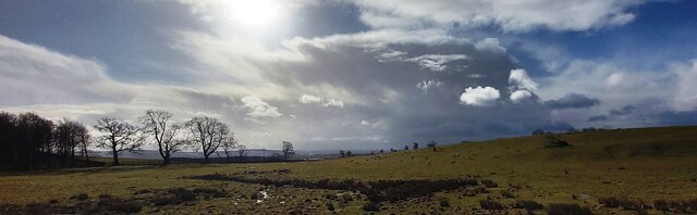
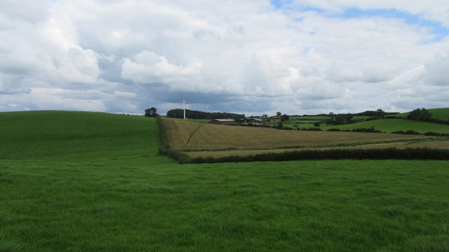
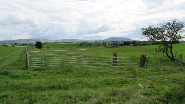
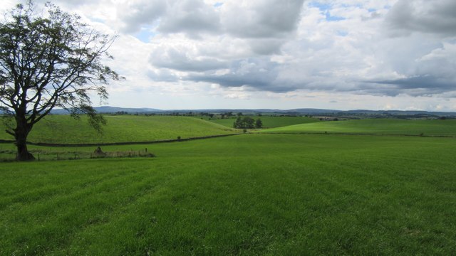
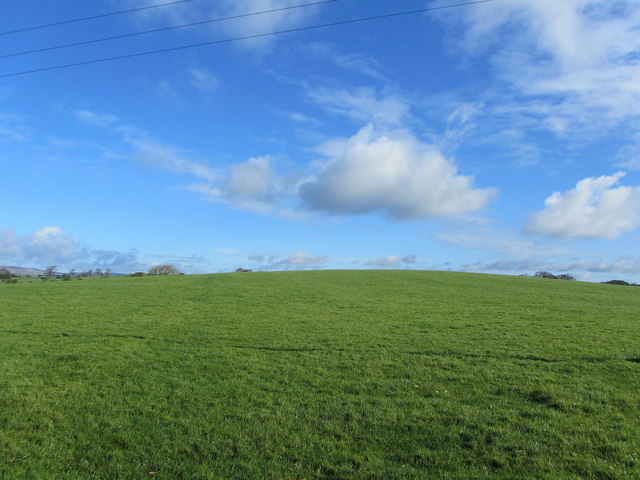
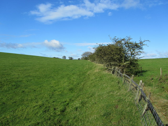
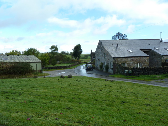
The hill is situated near the village of Cracoe and is a popular destination for walkers and hikers due to its commanding views of the surrounding countryside. The ascent to the summit is relatively gentle, with well-defined footpaths leading through open moorland and limestone pavements. At the top, visitors are rewarded with stunning vistas that stretch across the rolling hills, green valleys, and picturesque villages of the Yorkshire Dales.

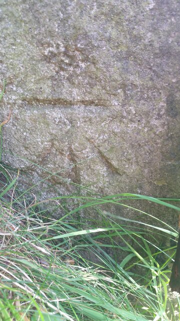
Cracoe Hill is also known for its rich historical and cultural heritage. The area is dotted with ancient burial mounds, stone circles, and remnants of Iron Age settlements, indicating human occupation dating back thousands of years. The hill's name itself is believed to be derived from "Crow Hill," referencing the presence of crows in the area.

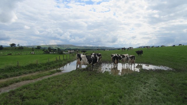
In addition to its natural and historical significance, Cracoe Hill is a habitat for various wildlife species. The moorland vegetation supports a diverse range of bird species, including curlews, lapwings, and peregrine falcons. Visitors may also encounter grazing sheep and wildflowers such as heather and bilberry.

Overall, Cracoe Hill offers a picturesque and accessible outdoor experience, combining natural beauty, historical intrigue, and wildlife diversity within the enchanting landscapes of the Yorkshire Dales.

If you have any feedback on the listing, please let us know in the comments section below.
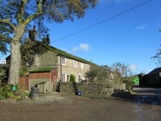
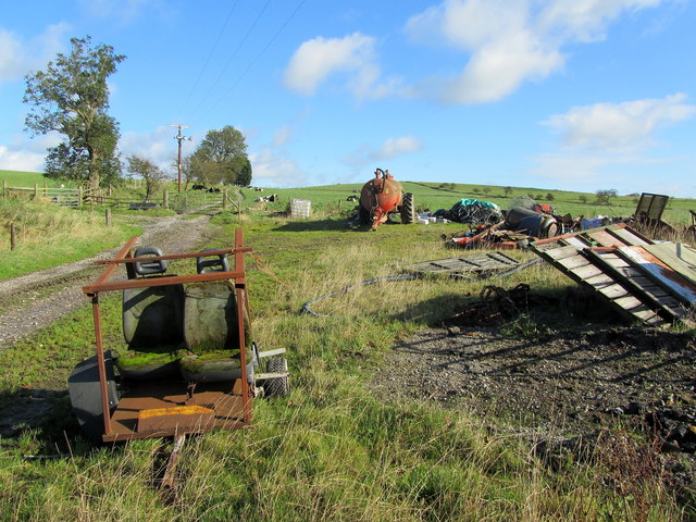
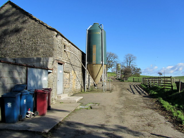
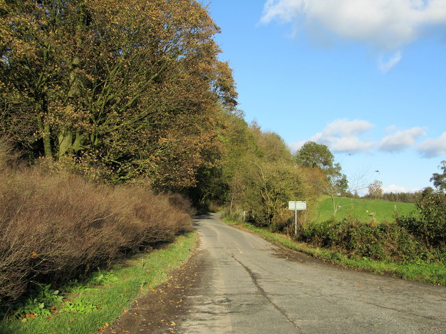
Cracoe Hill Images

Images are sourced within 2km of 53.948138/-2.2167454 or Grid Reference SD8550. Thanks to Geograph Open Source API. All images are credited.

Ordnance Survey Cut Mark This mark can be found on a field gatepost beside knot Lane at White Hill.
The benchmark has a recorded height of 153.6954 metres above sea level.
For more detail see : <span class="nowrap"><a title="https://www.bench-marks.org.uk/bm121976" rel="nofollow ugc noopener" href="https://www.bench-marks.org.uk/bm121976">Link</a><img style="margin-left:2px;" alt="External link" title="External link - shift click to open in new window" src="https://s1.geograph.org.uk/img/external.png" width="10" height="10"/></span>
Ordnance Survey Cut Mark
This mark can be found on a field gatepost beside knot Lane at White Hill. The benchmark has a recorded height of 153.6954 metres above sea level. For more detail see : LinkExternal link
Bentha Hill Fields
Bentha Hill Fields
Public footpath East of Horton Looking East at public footpath crossing fields between Horton and Pasture House Farm.
Public footpath East of Horton
Looking East at public footpath crossing fields between Horton and Pasture House Farm.
Cows on Bridleway / footpath junction Looking South back towards footpath / bridleway junction near Horton
Cows on Bridleway / footpath junction
Looking South back towards footpath / bridleway junction near Horton
Gates tied across bridleway Looking South West down bridleway with tied gates across
Gates tied across bridleway
Looking South West down bridleway with tied gates across
Small copse on bridleway Looking West along bridleway at small copse West of Horton Pasture farm
Small copse on bridleway
Looking West along bridleway at small copse West of Horton Pasture farm
Horton bridge The benchmark is cut into the eastern parapet of the bridge.
Horton bridge
The benchmark is cut into the eastern parapet of the bridge.
Horton bridge There is a benchmark cut into the eastern parapet of the bridge. It is located to the right of the small concrete support seen in the centre of the picture.
Horton bridge
There is a benchmark cut into the eastern parapet of the bridge. It is located to the right of the small concrete support seen in the centre of the picture.
Gutteridge Farm
Gutteridge Farm
White Hill Small drumlin off Knot Lane
White Hill
Small drumlin off Knot Lane
Boundary Fence between White and Hoober Hill Fence follows the saddle between the two drumlins of White Hill and Hoober Hill
Boundary Fence between White and Hoober Hill
Fence follows the saddle between the two drumlins of White Hill and Hoober Hill
Hoober Farmhouse at the foot of Hoober Hill
Hoober
Farmhouse at the foot of Hoober Hill
Unofficial Dump by Hoober Plantation Rather unsightly refuse encountered on a country walk
Unofficial Dump by Hoober Plantation
Rather unsightly refuse encountered on a country walk
Approaching Varley Field The farmyard appears abandoned, although the farmhouse is still occupied
Approaching Varley Field
The farmyard appears abandoned, although the farmhouse is still occupied
Track between Varley Field and Lower Paradise Muddy track connecting two farming operations - one now appearing to be abandoned
Track between Varley Field and Lower Paradise
Muddy track connecting two farming operations - one now appearing to be abandoned
Yorsdale Outbuildings attached to Lower Paradise Farm
Yorsdale
Outbuildings attached to Lower Paradise Farm
Lane on Bentha Hill Signposted to Bank Newton, this lane has just left the A59 at Bentha Hill
Lane on Bentha Hill
Signposted to Bank Newton, this lane has just left the A59 at Bentha Hill
Show me another place!

Cracoe Hill is located at Grid Ref: SD8550 (Lat: 53.948138, Lng: -2.2167454)

Division: West Riding

Administrative County: Lancashire

District: Ribble Valley

Police Authority: Lancashire

What 3 Words

///reaction.organs.waltz. Near Barnoldswick, Lancashire

Related Wikis

Horton, Lancashire

Horton, historically known as Horton-in-Craven, is a village and a civil parish in the Ribble Valley district of the English county of Lancashire (historically...

A59 road

The A59 is a major road in England which is around 109 miles (175 km) long and runs from Wallasey, Merseyside to York, North Yorkshire. The alignment formed...

Bracewell and Brogden

Bracewell and Brogden is a civil parish in the West Craven area of the Borough of Pendle in Lancashire, England. According to the 2001 census it had a...

St Michael's Church, Bracewell

St Michael's Church is in Bracewell Lane, Bracewell, Lancashire, England. It is an active Anglican parish church in the deanery of Skipton, the archdeaconry...

Newsholme, Lancashire

Newsholme is a small village and civil parish in the Ribble Valley, Lancashire, England, but lies within the historic West Riding of Yorkshire. According...

Newsholme railway station

Newsholme railway station was a railway station that served the small village of Newsholme in Lancashire. It was built by the Lancashire and Yorkshire...

Gledstone Hall

Gledstone Hall is a 20th-century country house in West Marton, near Skipton, North Yorkshire, England. Designed by Edwin Lutyens it stands in a 12-hectare...

Nappa, North Yorkshire

Nappa is a hamlet in the civil parish of Hellifield, in North Yorkshire, England. It is on the A682 road and 6 miles (9.7 km) north-west of Barnoldswick...

Nearby Amenities

Located within 500m of 53.948138,-2.2167454
Horton
Is In: Ribble Valley, Lancashire, England, UK
Is In Country Code: GB
Is In County: Lancashire
Is In Historic County: Yorkshire
Is In Municipality: Ribble Valley
Is In Valley: Ribblesdale
Place: village
Source: npe
Lat/Long: 53.9466401/-2.2207444
SWINDEN1
Disused: yes
Man Made: petroleum_well
Ref GB Decc: LJ/04-1
Source: DECC
Lat/Long: 53.9503611/-2.2137778
Place: farm
Lat/Long: 53.9463189/-2.2198403
Defibrillator
Emergency: defibrillator
Lat/Long: 53.9479164/-2.2206735
The data included in this document is from www.openstreetmap.org. The data is made available under ODbL.

Have you been to Cracoe Hill?

Leave your review of Cracoe Hill below (or comments, questions and feedback).