Long Hill
Hill, Mountain in Yorkshire Richmondshire
England
Long Hill
Long Hill is a prominent hill located in the county of Yorkshire, England. Rising to an elevation of approximately 430 meters (1,411 feet), it is considered one of the highest peaks in the region. Situated within the stunning Yorkshire Dales National Park, Long Hill offers breathtaking panoramic views of the surrounding landscapes.
The hill is characterized by its steep slopes and rugged terrain, making it a popular destination for hikers, climbers, and nature enthusiasts. Its location within the national park ensures that it is well-preserved and home to a diverse range of flora and fauna. Visitors can expect to encounter a variety of plant species, including heather, bracken, and wildflowers, while birdwatchers may spot birds of prey such as kestrels and buzzards soaring overhead.
Long Hill also attracts geology enthusiasts, as it is composed primarily of limestone, a rock known for its unique formations and fossil-rich nature. The hill's limestone cliffs and outcrops provide opportunities for exploration and discovery.
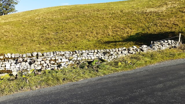
The surrounding area offers a range of recreational activities, including walking trails and cycling routes, allowing visitors to immerse themselves in the natural beauty of the Yorkshire Dales. Additionally, charming villages and historic landmarks can be found nearby, adding to the allure of Long Hill as a tourist destination.
Overall, Long Hill in Yorkshire is a captivating natural landmark that offers both stunning views and an array of outdoor activities for visitors to enjoy.
If you have any feedback on the listing, please let us know in the comments section below.
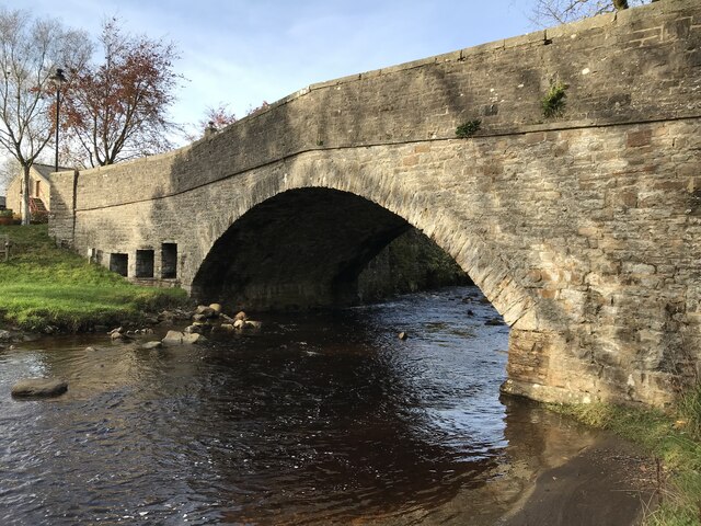
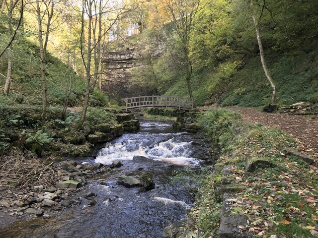
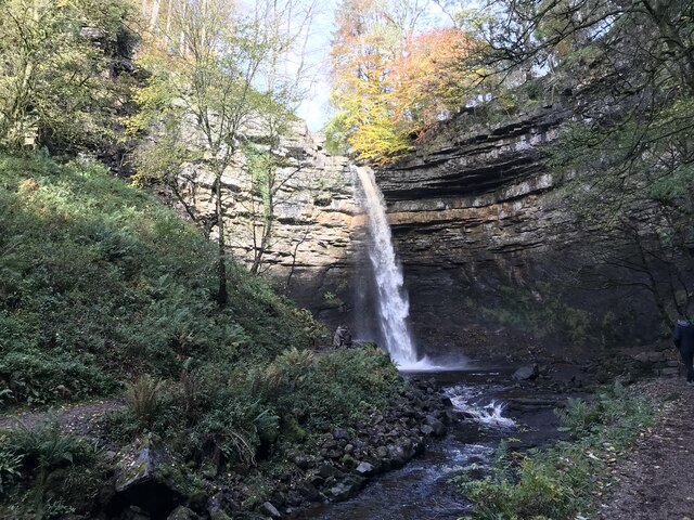
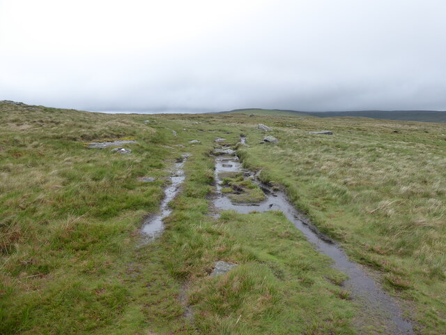
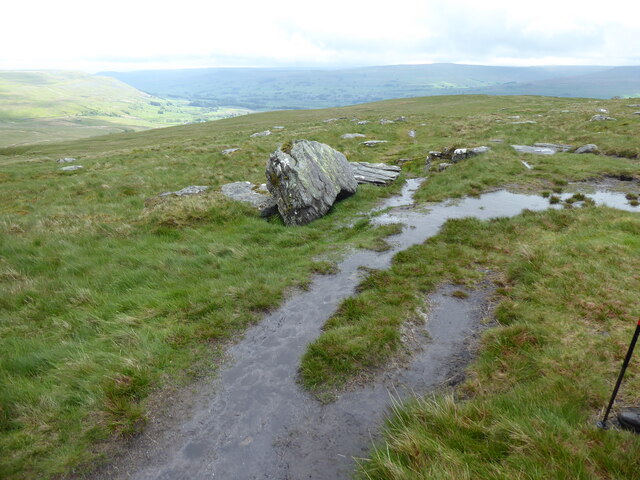
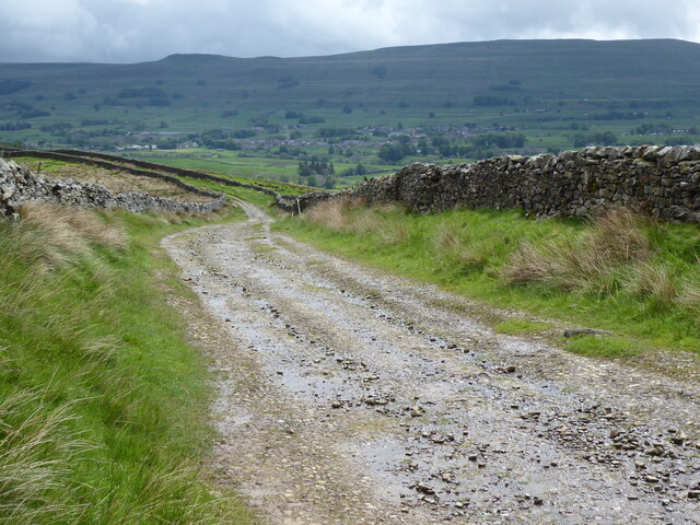
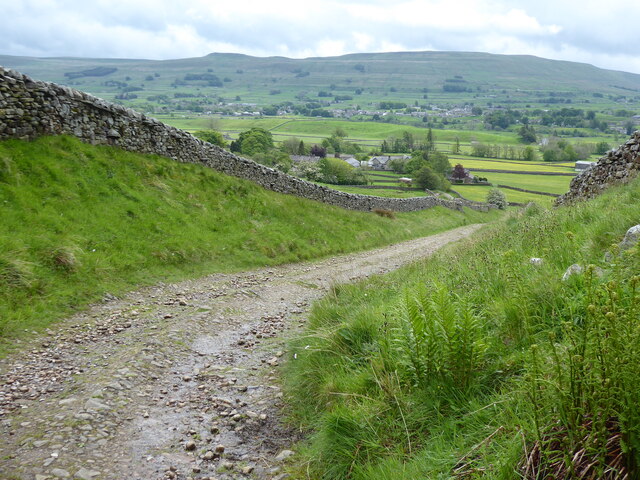
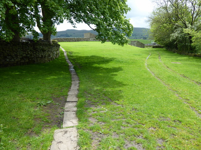
Long Hill Images
Images are sourced within 2km of 54.329598/-2.2239462 or Grid Reference SD8592. Thanks to Geograph Open Source API. All images are credited.


![Pry House, Appersett Farmland in upper Wensleydale.
[Image formed from 2 photos merged together.]](https://s0.geograph.org.uk/geophotos/07/23/49/7234920_6836e27c.jpg)


Long Hill is located at Grid Ref: SD8592 (Lat: 54.329598, Lng: -2.2239462)
Division: North Riding
Administrative County: North Yorkshire
District: Richmondshire
Police Authority: North Yorkshire
What 3 Words
///ranches.hasten.triangles. Near Kirkby Stephen, Cumbria
Nearby Locations
Related Wikis

Cotter Force
Cotter Force is a small waterfall on Cotterdale Beck, a minor tributary of the River Ure, near the mouth of Cotterdale, a side dale in Wensleydale, North...

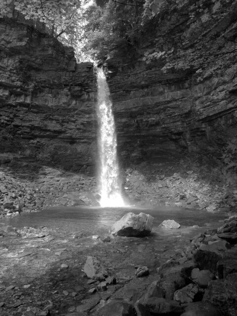
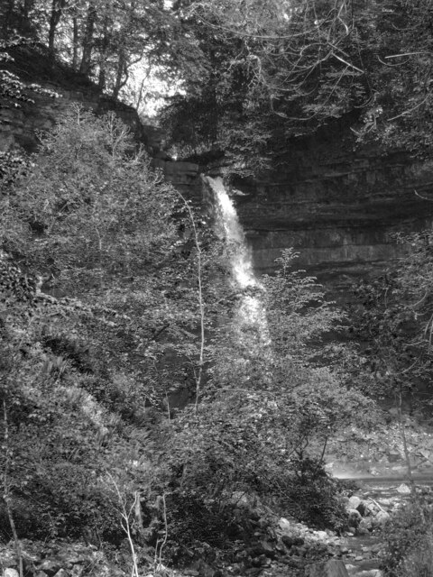
Hardraw Force
Hardraw Force (OS grid ref: SD869917) is a waterfall on Hardraw Beck in Hardraw Scar, a wooded ravine just outside the hamlet of Hardraw, 0.9 miles (1...

St Mary and St John's Church, Hardraw
St Mary and St John's Church, Hardraw (also Hardrow) is a Grade II listed parish church in the Church of England: 181 in Hardraw, North Yorkshire. �...

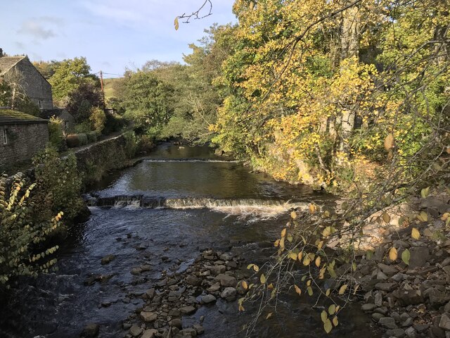
Hardraw
Hardraw is a hamlet near Hawes within the Yorkshire Dales in North Yorkshire, England. It takes its name from the nearby Hardraw Force waterfall. The old...
Nearby Amenities
Located within 500m of 54.329598,-2.2239462Have you been to Long Hill?
Leave your review of Long Hill below (or comments, questions and feedback).