Blea Pot Plain
Downs, Moorland in Yorkshire Richmondshire
England
Blea Pot Plain
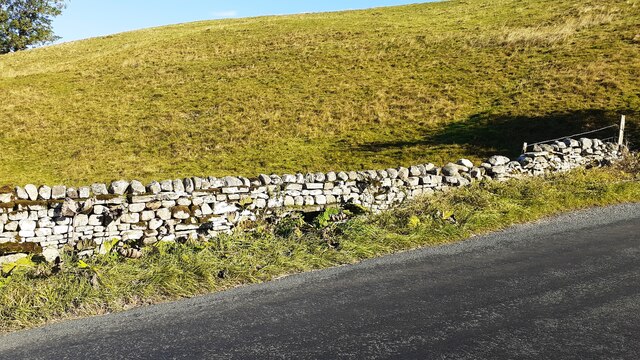
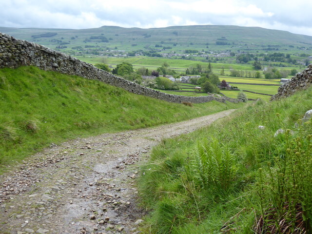
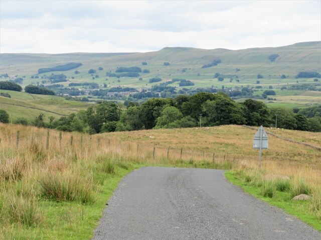
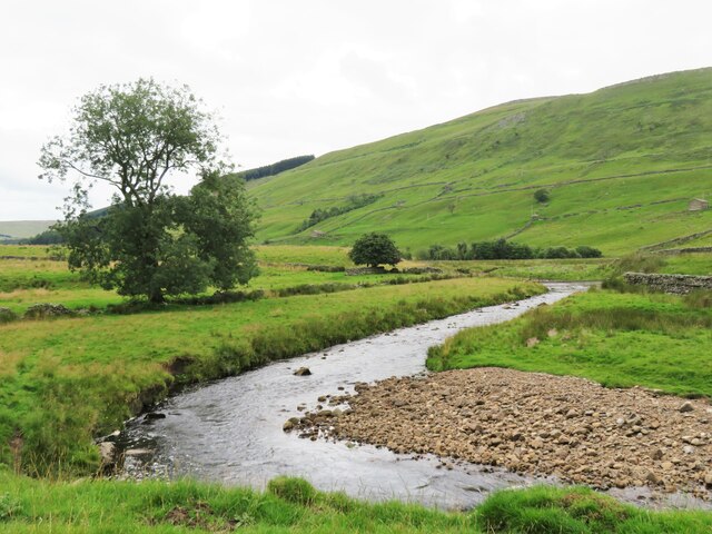
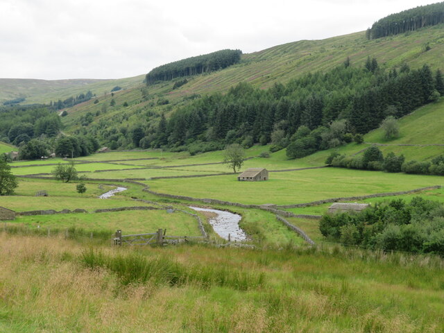
Blea Pot Plain is a picturesque landscape located in Yorkshire, England. Situated within the Yorkshire Downs and Moorland region, this area encompasses a vast expanse of rolling hills, heather-covered moorland, and serene valleys. It is a popular destination for nature enthusiasts, hikers, and photographers.
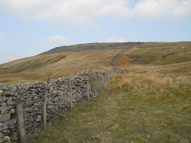
The plain is characterized by its unique geological features, such as limestone pavements and sinkholes. Blea Pot, a large natural sinkhole, is a prominent attraction in this area. The sinkhole is surrounded by a large open plain, offering breathtaking views of the surrounding countryside.
The landscape of Blea Pot Plain is rich in biodiversity, with a variety of plant and animal species thriving in the area. Visitors can spot heather, bilberry, and cotton grass dotting the moorland, while buzzards, kestrels, and curlews soar overhead. In spring and summer, the plain transforms into a colorful spectacle with wildflowers in full bloom.
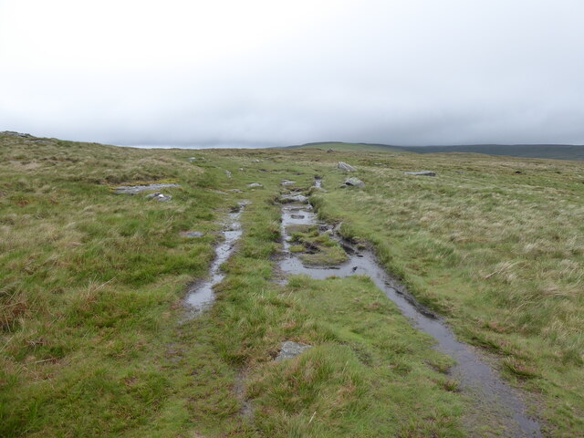
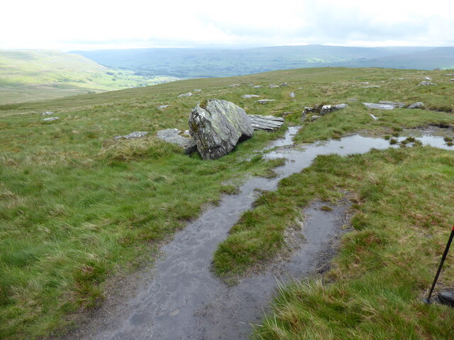
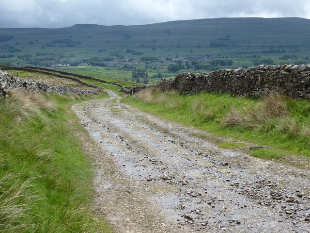
Hikers can explore the numerous walking trails that crisscross the plain, offering opportunities to discover hidden gems and breathtaking viewpoints. The area is also popular for rock climbing enthusiasts, with its limestone cliffs providing challenging routes for climbers of all levels.
Blea Pot Plain is an area of great historical significance as well. It is home to ancient burial mounds and stone circles, offering a glimpse into the region's prehistoric past. Archaeological findings have revealed evidence of Neolithic settlements in the area.
Overall, Blea Pot Plain is a captivating destination that offers visitors a chance to immerse themselves in the natural beauty and rich history of Yorkshire's Downs and Moorland region.
If you have any feedback on the listing, please let us know in the comments section below.
Blea Pot Plain Images
Images are sourced within 2km of 54.330938/-2.2281669 or Grid Reference SD8592. Thanks to Geograph Open Source API. All images are credited.

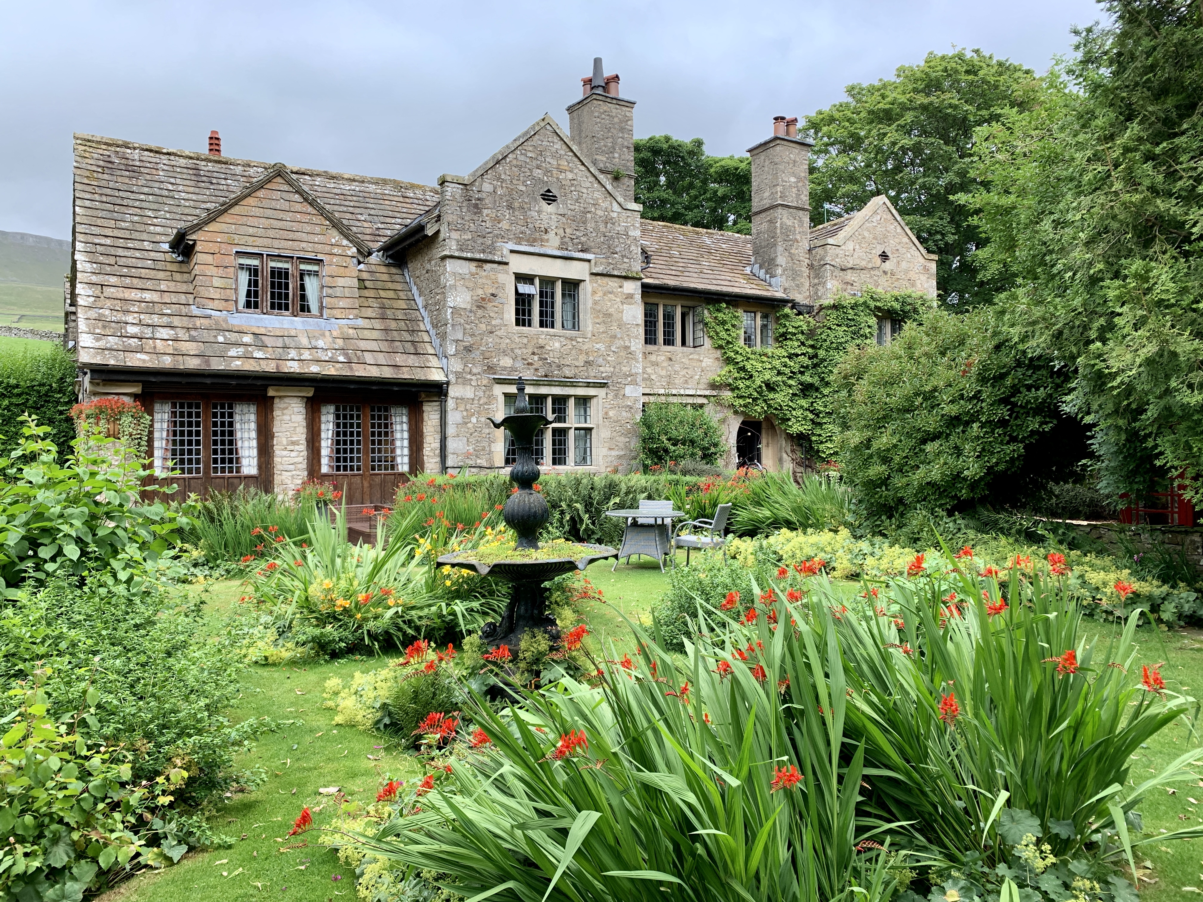
![Pry House, Appersett Farmland in upper Wensleydale.
[Image formed from 2 photos merged together.]](https://s0.geograph.org.uk/geophotos/07/23/49/7234920_6836e27c.jpg)


Blea Pot Plain is located at Grid Ref: SD8592 (Lat: 54.330938, Lng: -2.2281669)
Division: North Riding
Administrative County: North Yorkshire
District: Richmondshire
Police Authority: North Yorkshire
What 3 Words
///richer.importers.wins. Near Kirkby Stephen, Cumbria
Nearby Locations
Related Wikis

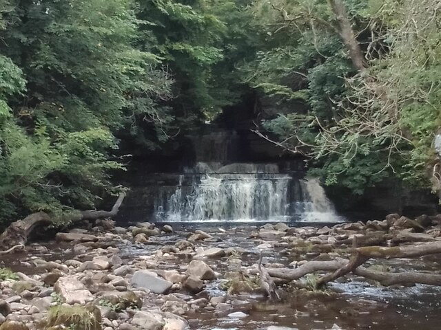
Cotter Force
Cotter Force is a small waterfall on Cotterdale Beck, a minor tributary of the River Ure, near the mouth of Cotterdale, a side dale in Wensleydale, North...

Hardraw Force
Hardraw Force (OS grid ref: SD869917) is a waterfall on Hardraw Beck in Hardraw Scar, a wooded ravine just outside the hamlet of Hardraw, 0.9 miles (1...

St Mary and St John's Church, Hardraw
St Mary and St John's Church, Hardraw (also Hardrow) is a Grade II listed parish church in the Church of England: 181 in Hardraw, North Yorkshire. �...

Hardraw
Hardraw is a hamlet near Hawes within the Yorkshire Dales in North Yorkshire, England. It takes its name from the nearby Hardraw Force waterfall. The old...

Appersett
Appersett is a hamlet in the Yorkshire Dales in the Richmondshire district of North Yorkshire, England one mile (1.6 km) west of Hawes. It lies on the...

Cotterdale
Cotterdale is a small side dale and hamlet on the north side of Wensleydale in North Yorkshire, England. The dale lies to the west of Great Shunner Fell...

Simonstone, North Yorkshire
Simonstone is a hamlet near Hawes and Hardraw Force within the Yorkshire Dales in North Yorkshire, England. == References ==
Stone House, Hawes
Stone House is a Grade II listed building in the civil parish of High Abbotside, near Hawes, North Yorkshire, England. == History == Stone House was built...
Nearby Amenities
Located within 500m of 54.330938,-2.2281669Have you been to Blea Pot Plain?
Leave your review of Blea Pot Plain below (or comments, questions and feedback).