Frameley Hill

Hill, Mountain in Staffordshire Stafford

England

Frameley Hill

St Mary's St Mary's Church Swynnerton.
St Mary's Credit: Andy and Hilary

Frameley Hill is a prominent geological feature located in the county of Staffordshire, England. This natural formation is classified as a hill, rather than a mountain, due to its moderate elevation and lack of significant steepness. It is situated within the picturesque countryside of Staffordshire, surrounded by lush green fields and rolling landscapes.

Rising to an approximate height of 300 meters above sea level, Frameley Hill offers breathtaking panoramic views of the surrounding area. The hill is primarily composed of limestone, which gives it a distinctive appearance and contributes to its ecological significance. The limestone also forms part of the wider Cannock Chase Area of Outstanding Natural Beauty.

The hill itself is covered in a diverse range of vegetation, including grasses, shrubs, and scattered trees. This provides habitat for a variety of wildlife species, such as rabbits, foxes, and numerous bird species. The area is also known for its wildflowers, which bloom during the spring and summer months, adding a vibrant splash of color to the landscape.

Frameley Hill attracts visitors throughout the year, who come to enjoy its natural beauty and take part in recreational activities. Hiking and walking trails are available, allowing visitors to explore the hill and its surroundings. Additionally, the hill is a popular spot for local nature enthusiasts and photographers, who appreciate its scenic vistas and unique geological features.

Overall, Frameley Hill is a captivating natural landmark in Staffordshire, offering both locals and visitors an opportunity to connect with nature and experience the tranquility of the English countryside.

If you have any feedback on the listing, please let us know in the comments section below.

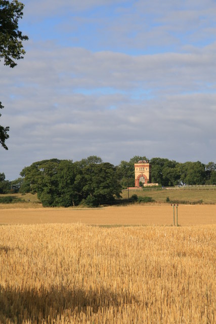
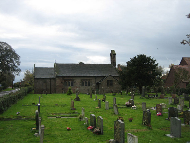
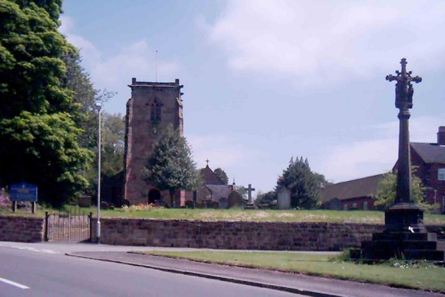
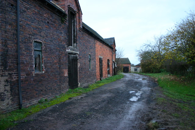
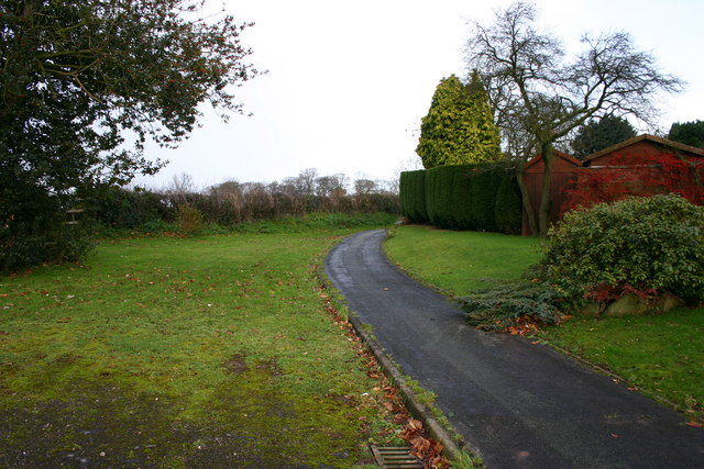
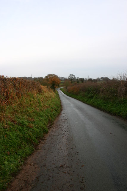
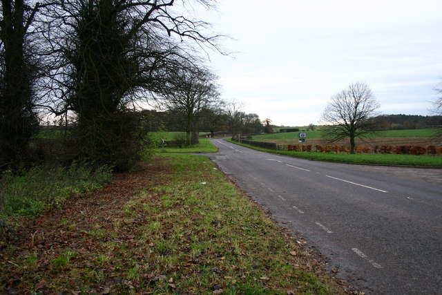
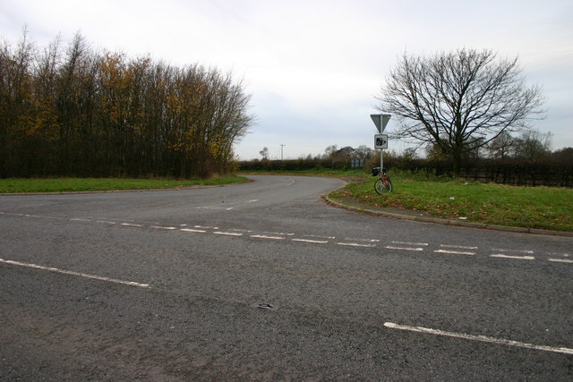
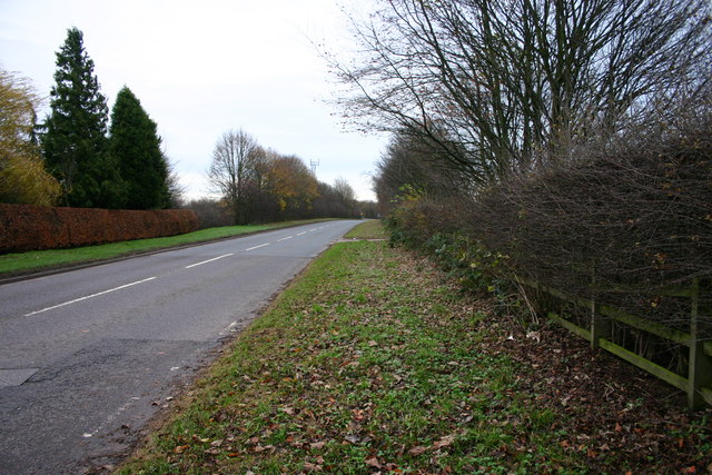
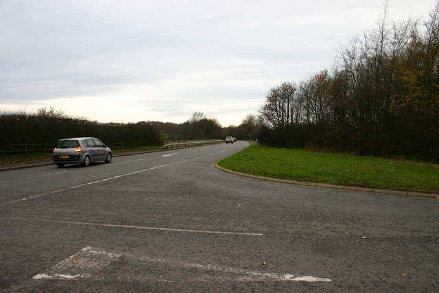
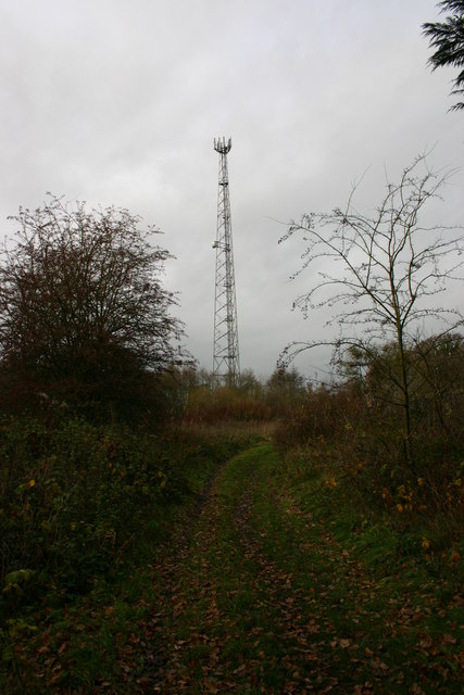
Frameley Hill Images

Images are sourced within 2km of 52.909655/-2.2224935 or Grid Reference SJ8534. Thanks to Geograph Open Source API. All images are credited.

St Mary's St Mary's Church Swynnerton.
St Mary's
St Mary's Church Swynnerton.
The Winding Road Old cottage and winding road to Swynnerton.
The Winding Road
Old cottage and winding road to Swynnerton.
Swynnerton Training Camp Back entrance to Swynnerton army training camp. The site was a massive ordnance factory during World War Two. In the 1980s the base was used by nuclear weapons convoys for overnight stops (using this gate), and was also the scene of a controversial exercise when a demonstration of how to clean up nuclear contamination apparently used real nuclear contaminated material.
Swynnerton Training Camp
Back entrance to Swynnerton army training camp. The site was a massive ordnance factory during World War Two. In the 1980s the base was used by nuclear weapons convoys for overnight stops (using this gate), and was also the scene of a controversial exercise when a demonstration of how to clean up nuclear contamination apparently used real nuclear contaminated material.
Water Tower, Swynnerton The north edge of the tower is bang on the grid line. The tower is now a dwelling but there is a reservoir adjoining it and it was associated with the italianate Hatton Pumping Station.
Water Tower, Swynnerton
The north edge of the tower is bang on the grid line. The tower is now a dwelling but there is a reservoir adjoining it and it was associated with the italianate Hatton Pumping Station.
Pilstones Wood Pilstones Wood lies on the Eccleshall to Swynnerton just north of Coldmeece
Pilstones Wood
Pilstones Wood lies on the Eccleshall to Swynnerton just north of Coldmeece
Cotes Heath St James Church and Churchyard at Cotes Heath
Cotes Heath
St James Church and Churchyard at Cotes Heath
Swynnerton Swynnerton Memorial with St Mary's Church in the background
Swynnerton
Swynnerton Memorial with St Mary's Church in the background
Broken Stile This broken stile is on a public footpath from Yarnfield to Swynnerton. At this point during the time I was here there was an almost constant sound of armoury being fired from Swynnerton army camp and helicopters flying overhead.
Broken Stile
This broken stile is on a public footpath from Yarnfield to Swynnerton. At this point during the time I was here there was an almost constant sound of armoury being fired from Swynnerton army camp and helicopters flying overhead.
Broken Stile Ahead This public footpath, across very boggy ground, goes from Yarnfield to Swynnerton. At this point, gunfire and heavier artillery being fired can be heard from Swynnerton Army Camp.
Broken Stile Ahead
This public footpath, across very boggy ground, goes from Yarnfield to Swynnerton. At this point, gunfire and heavier artillery being fired can be heard from Swynnerton Army Camp.
Derelict Farm Buildings This is Blakelow Farm. These farm buildings appear to be derelict although I heard work in progress at the location.
Derelict Farm Buildings
This is Blakelow Farm. These farm buildings appear to be derelict although I heard work in progress at the location.
Village Footpath This is a footpath on the very edge of Swynnerton, of a road named Fairbanks Walk.
Village Footpath
This is a footpath on the very edge of Swynnerton, of a road named Fairbanks Walk.
The Hamlet of Cotes This is a view of the Hamlet of Cotes as you enter from Swynnerton
The Hamlet of Cotes
This is a view of the Hamlet of Cotes as you enter from Swynnerton
Lane Between Villages This lane runs between the hamlet of Cotes and the village of Cotes Heath.
Lane Between Villages
This lane runs between the hamlet of Cotes and the village of Cotes Heath.
The Road to Chester The A51 to Chester. The road off to the left goes to Swynnerton.
The Road to Chester
The A51 to Chester. The road off to the left goes to Swynnerton.
Winghouse Lane to Tittensor Ahead is Winghouse Lane that goes to Tittensor. The main road across the photo is the A51, left goes to Chester, right goes to Stone.
Winghouse Lane to Tittensor
Ahead is Winghouse Lane that goes to Tittensor. The main road across the photo is the A51, left goes to Chester, right goes to Stone.
The Chester Road The A51 Chester Road looking towards Stone.
The Chester Road
The A51 Chester Road looking towards Stone.
A51 to Chester A view of the A51 looking towards Chester from the junction of Winghouse Lane. The crash barrier seen at the side of the road is at the point where the A51 crosses over the M6 motorway.
A51 to Chester
A view of the A51 looking towards Chester from the junction of Winghouse Lane. The crash barrier seen at the side of the road is at the point where the A51 crosses over the M6 motorway.
Radio Mast This radio mast is just by the side of a public footpath continuing from Highlows Lane, Yarnfield near Stone.
Radio Mast
This radio mast is just by the side of a public footpath continuing from Highlows Lane, Yarnfield near Stone.
Show me another place!

Frameley Hill is located at Grid Ref: SJ8534 (Lat: 52.909655, Lng: -2.2224935)

Administrative County: Staffordshire

District: Stafford

Police Authority: Staffordshire

What 3 Words

///dashes.mandates.carpentry. Near Standon, Staffordshire

Related Wikis

Swynnerton Hall

Swynnerton Hall is an 18th-century country mansion house, the home of Lord Stafford, situated at Swynnerton near Stone, Staffordshire. It is a Grade I...

Swynnerton

Swynnerton is a village and civil parish in Staffordshire, England. It lies in the Borough of Stafford, and at the 2001 census had a population of 4,233...

ROF Swynnerton

ROF Swynnerton was a Royal Ordnance Factory, more specifically a filling factory, located south of the village of Swynnerton in Staffordshire, United Kingdom...

Cold Meece railway station

Cold Meece railway station was a short-lived railway station built during the Second World War by the London, Midland and Scottish Railway (LMS) to serve...

Mill Meece Pumping Station

Mill Meece Pumping Station is a pumping station, located in the village of Mill Meece in Staffordshire, England. Its function, powered by steam engines...

Beechcliff

Beechcliff is a village in Staffordshire, England. For population details at the 2011 census see Swynnerton

Standon Bridge railway station

Standon Bridge railway station was a railway station in Standon, approximately 4 miles (6.4 km) west of Stone, Staffordshire. The station closed on 4 February...

Yarnfield

Yarnfield is a village in Staffordshire, England. Population details as taken in the 2011 census can be found under Swynnerton It is considered part of...

Related Videos

Swynnerton

Swynnerton, Staffordshire Trentham Park, Beech, Swynnerton, Hatton Pumping Station, Common Lane, Swynnerton Old Park, ...

For Sale - Oakleigh House - Cold Meece - £799,950

300 year old Farm House for sale, 7 bedrooms including separate self contained annexe. solar panels, extensive gardens.

Cyprinus Typhoon MH DPM4 Ripstop Bivvy Review Plus Update

My review of my new bivvy, the Cyprinus Typhoon MH DPM4 Ripstop Bivvy, taken at Baden Hall fishery in July 2022 over 2 ...

Baden Hall Lodge Pool - Carp Fishery - The Battle Against The Crayfish Continues

Baden Hall, another battle against the crayfish with Mark and Ant on the lead up to the Queens funeral Bank Holiday weekend.

Nearby Amenities

Located within 500m of 52.909655,-2.2224935
Power: tower
Source: Bing
Lat/Long: 52.9078846/-2.2273883
Power: tower
Source: Bing
Lat/Long: 52.9076421/-2.2186164
Power: tower
Source: Bing
Lat/Long: 52.9077664/-2.2236574
Barrier: stile
Lat/Long: 52.9077371/-2.2211148
Barrier: stile
Lat/Long: 52.9080226/-2.226086
Barrier: stile
Lat/Long: 52.9080537/-2.2220897
Barrier: stile
Lat/Long: 52.9081884/-2.2233336
Barrier: stile
Lat/Long: 52.9082012/-2.2234183
Barrier: stile
Lat/Long: 52.9082937/-2.2248894
Historic Power: pole
Lat/Long: 52.9118591/-2.2206168
Historic Power: pole
Lat/Long: 52.9111829/-2.2290899
Historic Power: pole
Lat/Long: 52.9113107/-2.2273464
Historic Power: pole
Lat/Long: 52.9119416/-2.2180526
Historic Power: pole
Lat/Long: 52.9115355/-2.2246669
Historic Power: pole
Lat/Long: 52.9114029/-2.2262226
Historic Power: pole
Lat/Long: 52.9117069/-2.2223818
Historic Power: pole
Lat/Long: 52.9119108/-2.2197692
Historic Power: pole
Lat/Long: 52.9119432/-2.2166632
Historic Power: pole
Lat/Long: 52.9116083/-2.2237308
The data included in this document is from www.openstreetmap.org. The data is made available under ODbL.

Have you been to Frameley Hill?

Leave your review of Frameley Hill below (or comments, questions and feedback).