Burnt Hill
Hill, Mountain in Yorkshire Richmondshire
England
Burnt Hill
Burnt Hill is a prominent hill located in the county of Yorkshire in England. Situated in the region known as the Yorkshire Dales, this hill stands at an elevation of approximately 385 meters (1,263 feet) above sea level. It forms part of the Pennines, a range of mountains and hills that stretch across northern England.
The hill derives its name from the burnt appearance of its grassy slopes, which are often covered in heather and bracken. This distinctive feature contributes to the unique beauty of Burnt Hill and makes it easily recognizable in the landscape.
The summit of Burnt Hill offers breathtaking panoramic views of the surrounding countryside, showcasing the picturesque valleys, rivers, and villages that characterize the Yorkshire Dales. On a clear day, visitors can enjoy vistas stretching as far as the eye can see, with the rolling hills and moorlands creating a stunning backdrop.
Burnt Hill is a popular destination for hikers and outdoor enthusiasts, attracting both locals and tourists alike. Several walking trails traverse its slopes, providing opportunities for exploration and adventure. The hill is home to a diverse range of flora and fauna, with various bird species, including curlews and lapwings, often spotted in the area.
In addition to its natural beauty, Burnt Hill also holds historical significance. The hill is dotted with remnants of ancient settlements and stone circles, indicating human habitation in the area dating back thousands of years. These archaeological sites add an extra layer of intrigue to the already captivating landscape of this Yorkshire gem.
If you have any feedback on the listing, please let us know in the comments section below.
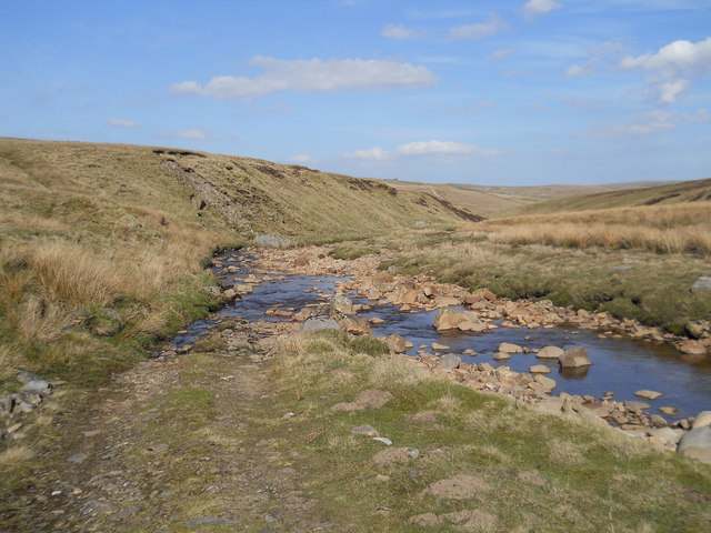
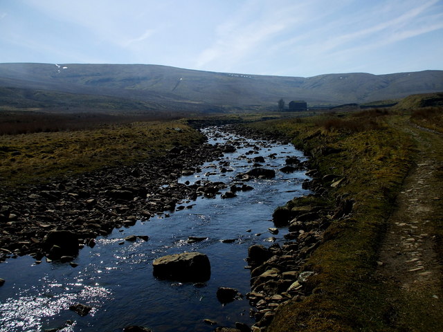
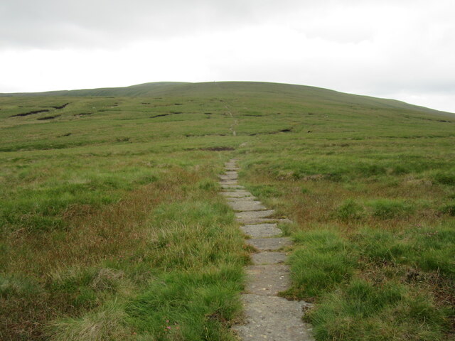
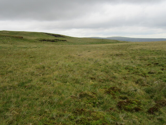
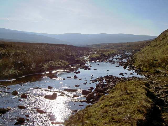
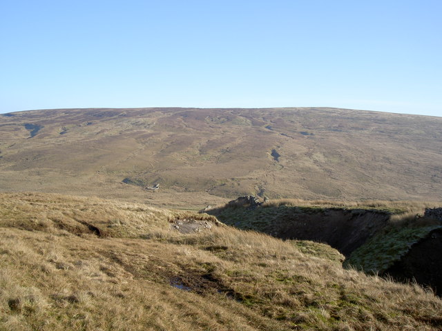
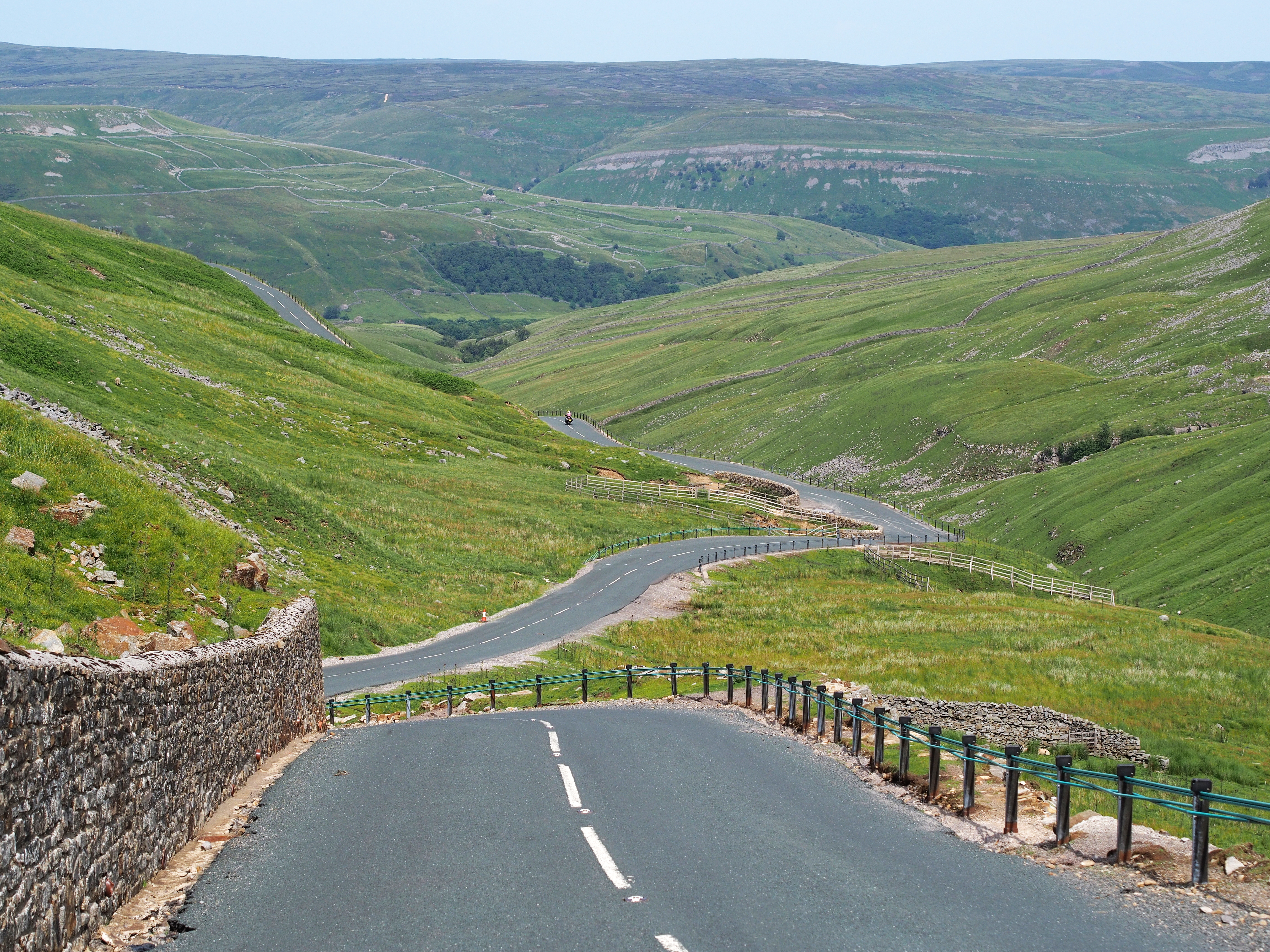
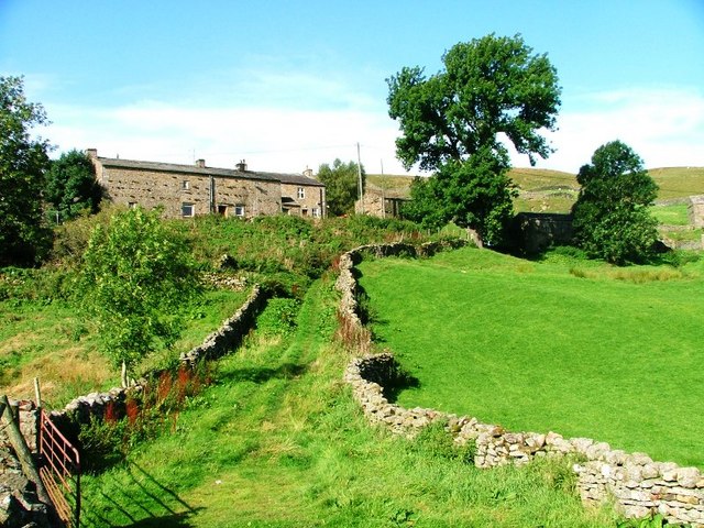
Burnt Hill Images
Images are sourced within 2km of 54.383823/-2.2306468 or Grid Reference SD8598. Thanks to Geograph Open Source API. All images are credited.


Burnt Hill is located at Grid Ref: SD8598 (Lat: 54.383823, Lng: -2.2306468)
Division: North Riding
Administrative County: North Yorkshire
District: Richmondshire
Police Authority: North Yorkshire
What 3 Words
///headrest.refreshed.assemble. Near Kirkby Stephen, Cumbria
Nearby Locations
Related Wikis

Great Shunner Fell
Great Shunner Fell is the third-highest mountain in the Yorkshire Dales, North Yorkshire, England, and the highest point in Wensleydale; at 716 metres...
Buttertubs Pass
The Buttertubs Pass is a high road in the Yorkshire Dales, England. The road winds its way north from Simonstone near Hawes towards Thwaite and Muker past...
Angram, Richmondshire
Angram is a hamlet in the Yorkshire Dales in the Richmondshire district of North Yorkshire, England. It is situated near to Keld to the north and Thwaite...

Birkdale, North Yorkshire
Birkdale (sometimes written out as Birk Dale) is a dale in the Yorkshire Dales National Park, in North Yorkshire, England. It lies at the far western end...
Have you been to Burnt Hill?
Leave your review of Burnt Hill below (or comments, questions and feedback).