Spring Field Hill
Hill, Mountain in Yorkshire Ribble Valley
England
Spring Field Hill
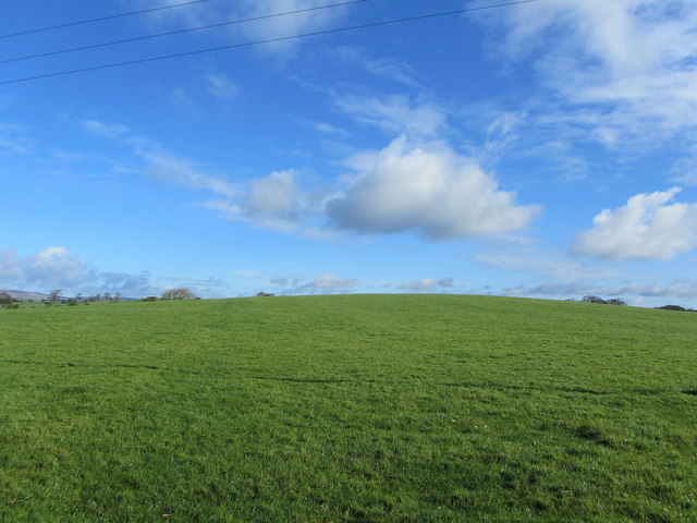
Spring Field Hill is a prominent hill located in the picturesque county of Yorkshire, England. Situated in the heart of the Yorkshire Dales, this natural landmark is renowned for its breathtaking beauty and panoramic views. Standing at an impressive height of approximately 500 meters (1,640 feet), Spring Field Hill is classified as both a hill and a mountain, depending on different definitions.
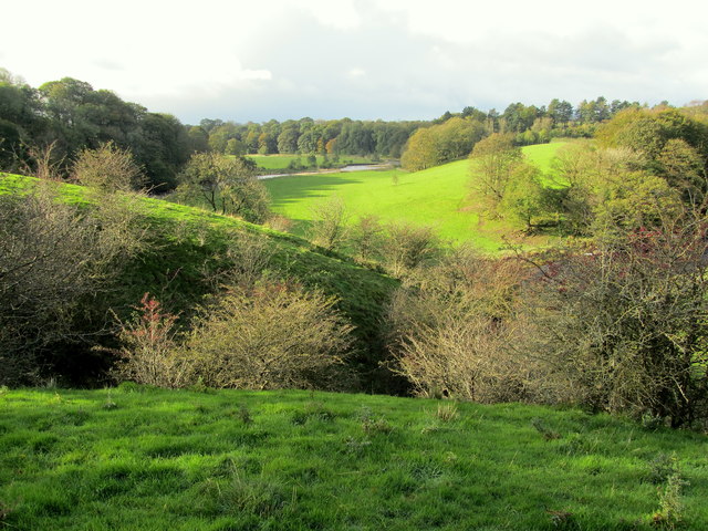
The hill is characterized by its gentle slopes covered with lush greenery, which transforms into a vibrant tapestry of colors during the spring season. The name "Spring Field Hill" is derived from the blooming flowers and abundant wildlife that thrive in the area during this time of year.
The summit of Spring Field Hill offers an unparalleled vantage point, providing visitors with awe-inspiring vistas of the surrounding countryside. On a clear day, one can see for miles, taking in the undulating valleys, meandering rivers, and quaint villages scattered throughout the region.
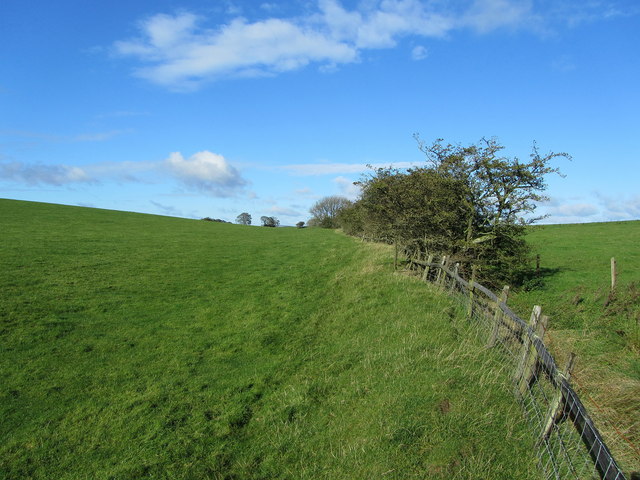
Hikers and nature enthusiasts are drawn to Spring Field Hill for its extensive network of walking trails that cater to all levels of fitness and experience. These trails meander through heather-clad moorland, ancient woodlands, and babbling brooks, offering a diverse range of landscapes to explore.
Spring Field Hill is not only a haven for outdoor enthusiasts but also a sanctuary for a variety of wildlife. The hill's diverse ecosystem supports a wide range of species, including birds of prey, deer, and numerous plant species unique to the area.
Whether you are seeking solace in nature, a challenging hike, or simply an escape from the hustle and bustle of daily life, Spring Field Hill in Yorkshire promises an unforgettable experience immersed in the beauty of the British countryside.
If you have any feedback on the listing, please let us know in the comments section below.
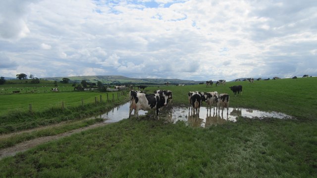
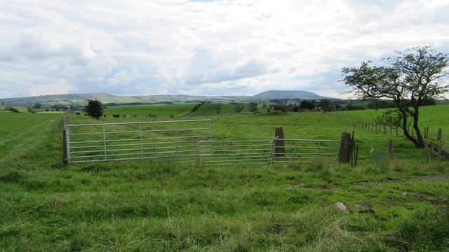
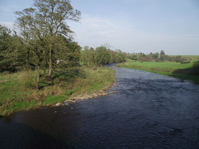
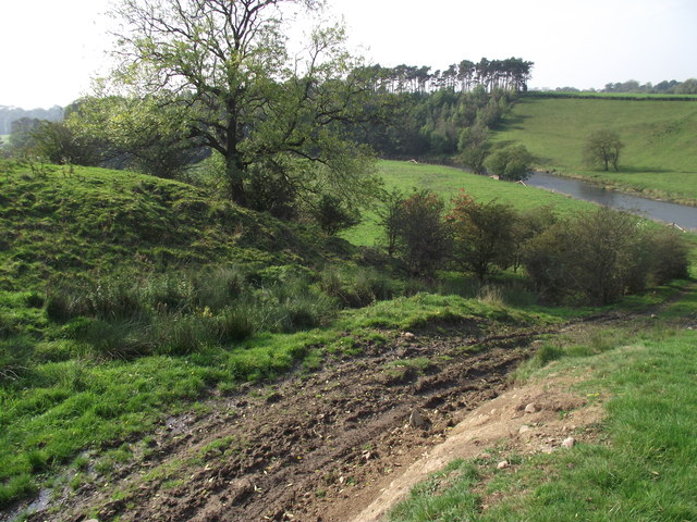
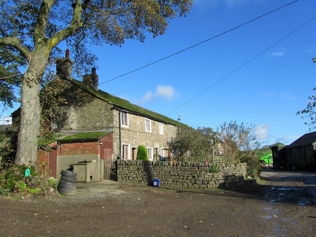
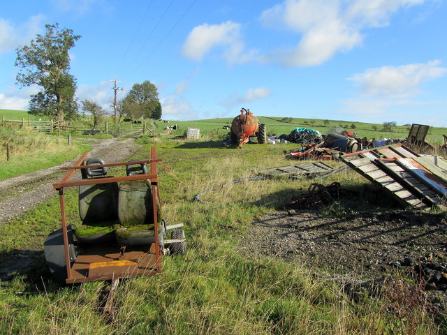
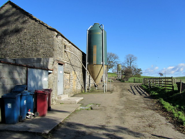
Spring Field Hill Images
Images are sourced within 2km of 53.946224/-2.2359475 or Grid Reference SD8450. Thanks to Geograph Open Source API. All images are credited.


Spring Field Hill is located at Grid Ref: SD8450 (Lat: 53.946224, Lng: -2.2359475)
Division: West Riding
Administrative County: Lancashire
District: Ribble Valley
Police Authority: Lancashire
What 3 Words
///firework.dare.initiated. Near Barnoldswick, Lancashire
Nearby Locations
Related Wikis

Horton, Lancashire
Horton, historically known as Horton-in-Craven, is a village and a civil parish in the Ribble Valley district of the English county of Lancashire (historically...

A59 road
The A59 is a major road in England which is around 109 miles (175 km) long and runs from Wallasey, Merseyside to York, North Yorkshire. The alignment formed...

Newsholme, Lancashire
Newsholme is a small village and civil parish in the Ribble Valley, Lancashire, England, but lies within the historic West Riding of Yorkshire. According...

Newsholme railway station
Newsholme railway station was a railway station that served the small village of Newsholme in Lancashire. It was built by the Lancashire and Yorkshire...

Stock Beck
Stock Beck is a minor river in the West Craven area of Pendle, Lancashire (formerly in Yorkshire). It is 8.25 miles (13.27 km) long and has a catchment...

Gisburne Park
Gisburne Park is an 18th-century country house and associated park in Gisburn, Lancashire, England, in the Ribble Valley some 6 miles (10 km) north-east...

Gisburn Tunnel
Gisburn Tunnel is a short railway tunnel on the Ribble Valley line in Lancashire, England. The tunnel is 157 yards (144 m) long, just to the east of Gisburn...

Bracewell and Brogden
Bracewell and Brogden is a civil parish in the West Craven area of the Borough of Pendle in Lancashire, England. According to the 2001 census it had a...
Nearby Amenities
Located within 500m of 53.946224,-2.2359475Have you been to Spring Field Hill?
Leave your review of Spring Field Hill below (or comments, questions and feedback).