Fairy Hillocks

Hill, Mountain in Kincardineshire

Scotland

Fairy Hillocks

Kirkton of Maryculter Parish Church The original building from 1786 with the south and north aisles added 1882.   The communion table inside is said to incorporate a font.   B-listed: <span class="nowrap"><a title="http://portal.historicenvironment.scot/designation/LB16486" rel="nofollow ugc noopener" href="http://portal.historicenvironment.scot/designation/LB16486">Link</a><img style="margin-left:2px;" alt="External link" title="External link - shift click to open in new window" src="https://s1.geograph.org.uk/img/external.png" width="10" height="10"/></span> .
Kirkton of Maryculter Parish Church Credit: Bill Harrison

Fairy Hillocks, located in Kincardineshire, Scotland, is a prominent hill that captivates visitors with its enchanting aura and stunning natural beauty. Rising to an elevation of approximately 400 meters, it stands as a significant landmark in the region. The hill is known for its distinctive rounded shape, earning it the name "Fairy Hillocks" due to its resemblance to the mythical abodes of fairies.

The landscape surrounding Fairy Hillocks is characterized by rolling green fields, interspersed with scattered trees and shrubs, providing a picturesque backdrop for outdoor enthusiasts. The hill itself is covered in a rich tapestry of heather and grass, displaying vibrant hues throughout the year. Its unique formation is a result of glacial activity in the distant past, contributing to its allure.

For those who venture to the summit, breathtaking panoramic views await. On clear days, visitors are treated to sweeping vistas of the surrounding countryside, with distant mountains and glimmering lochs dotting the horizon. The hill provides an ideal vantage point for nature photographers, hikers, and those seeking a peaceful retreat in the heart of nature.

Fairy Hillocks has long been associated with folklore and legends, adding to its mystique. Local tales speak of supernatural beings inhabiting the hill, adding an element of magic to the already enchanting atmosphere. The hill is often mentioned in local literature and has inspired many artists, writers, and poets throughout the years.

Overall, Fairy Hillocks in Kincardineshire offers a captivating blend of natural beauty, folklore, and tranquility, making it a must-visit destination for those seeking a unique and immersive experience in the Scottish countryside.

If you have any feedback on the listing, please let us know in the comments section below.

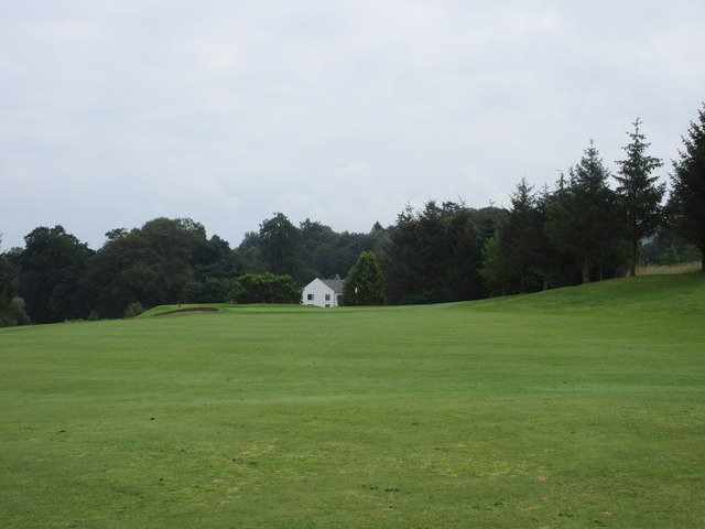
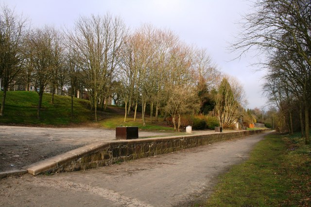
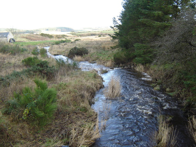
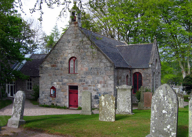
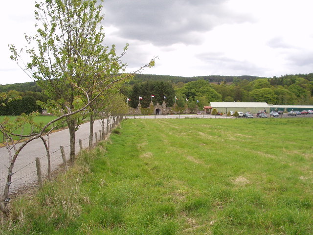
Fairy Hillocks Images

Images are sourced within 2km of 57.089319/-2.2567313 or Grid Reference NO8499. Thanks to Geograph Open Source API. All images are credited.

Kirkton of Maryculter Parish Church The original building from 1786 with the south and north aisles added 1882.   The communion table inside is said to incorporate a font.   B-listed: <span class="nowrap"><a title="http://portal.historicenvironment.scot/designation/LB16486" rel="nofollow ugc noopener" href="http://portal.historicenvironment.scot/designation/LB16486">Link</a><img style="margin-left:2px;" alt="External link" title="External link - shift click to open in new window" src="https://s1.geograph.org.uk/img/external.png" width="10" height="10"/></span> .
Kirkton of Maryculter Parish Church
The original building from 1786 with the south and north aisles added 1882. The communion table inside is said to incorporate a font. B-listed: LinkExternal link .
View of a theme park The entrance to 'The Den and Glen' family theme park, as seen from the kirkyard of Maryculter Church.
View of a theme park
The entrance to 'The Den and Glen' family theme park, as seen from the kirkyard of Maryculter Church.
Camp Cottage, Kirkton of Maryculter The former village schoolroom (possibly closed 2006?)
Camp Cottage, Kirkton of Maryculter
The former village schoolroom (possibly closed 2006?)
The auld manse, Kirkton of Maryculter Built ca. 1868, now in private hands.
The auld manse, Kirkton of Maryculter
Built ca. 1868, now in private hands.
View towards Normandykes A clear felled hilltop seen over the Temple Burn from the Deeside Railway trackbed.
View towards Normandykes
A clear felled hilltop seen over the Temple Burn from the Deeside Railway trackbed.
Deeside Railway trackbed Here, used as a farm road.
Deeside Railway trackbed
Here, used as a farm road.
Deeside Railway trackbed The rails to trails conversion from Aberdeen stops here until Drumoak.  A short path leads the route up to a nearby minor road.
Deeside Railway trackbed
The rails to trails conversion from Aberdeen stops here until Drumoak. A short path leads the route up to a nearby minor road.
The Deeside Way An annoying climb away from the railway trackbed which is blocked somewhere between here and Drumoak. The path soon leads to a minor road.
The Deeside Way
An annoying climb away from the railway trackbed which is blocked somewhere between here and Drumoak. The path soon leads to a minor road.
A riot of colour in Storybook Glen, Maryculter
Stobhall House On minor road near Parkhead.
Stobhall House
On minor road near Parkhead.
Farm Building, Stony Hill Metal barn, with farm machinery.
Farm Building, Stony Hill
Metal barn, with farm machinery.
Minor road junction with B979 From Stony Hill.
Minor road junction with B979
From Stony Hill.
Downhill B979 to join South Deeside Road (B9077) From a minor crossroad.
Downhill B979 to join South Deeside Road (B9077)
From a minor crossroad.
Minor road junction off B979 Signposted to Nether Ashentilly; closer access to Mains of Altries.
Minor road junction off B979
Signposted to Nether Ashentilly; closer access to Mains of Altries.
Deeside Way near Coalford, Aberdeen This footpath is part of the Deeside Way long distance trail in Aberdeenshire, Scotland
Deeside Way near Coalford, Aberdeen
This footpath is part of the Deeside Way long distance trail in Aberdeenshire, Scotland
Deeside Way near Peterculter, Aberdeen Part of the Deeside Way long distance trail near Aberdeen, Scotland
Deeside Way near Peterculter, Aberdeen
Part of the Deeside Way long distance trail near Aberdeen, Scotland
Peterculter Golf Course, 1st Hole, Templar The opening hole at Peterculter, looking to the green.
Peterculter Golf Course, 1st Hole, Templar
The opening hole at Peterculter, looking to the green.
Peterculter Golf Course, 4th Hole, Cobblestock The fourth hole at Peterculter, looking to the green.
Peterculter Golf Course, 4th Hole, Cobblestock
The fourth hole at Peterculter, looking to the green.
Show me another place!

Fairy Hillocks is located at Grid Ref: NO8499 (Lat: 57.089319, Lng: -2.2567313)

Unitary Authority: Aberdeenshire

Police Authority: North East

What 3 Words

///starlight.breaches.lottery. Near Peterculter, Aberdeen

Related Wikis

Related Videos

Peterculter Scotland Walking Tour 4K, March 2023

Peterculter Scotland Walking Tour 4K, March 2023. Peterculter also known as Culter (Scots: Couter), is a suburb of Aberdeen, ...

Victory Torino Super 2016 | Deeside Holiday Park - Aberdeenshire

The 2016 Victory Torino at Deeside Holiday Park is a spacious open-plan caravan holiday home created by an innovative layout ...

A Relaxing Walk through Maryculter Woods, Scotland Countryside 4K

4A Relaxing Walk through Maryculter Woods, Scotland Countryside 4K with no added music and nature sounds ASMR. The video ...

Nearby Amenities

Located within 500m of 57.089319,-2.2567313
Templars' Park
Operator: City of Aberdeen District Scout Council
Place: locality
Lat/Long: 57.0898722/-2.2551992
Maryculter Home Farm
Place: hamlet
Lat/Long: 57.0918323/-2.2571336
Flag Type: organisation
Lit: no
Man Made: flagpole
Operator: City of Aberdeen District Scout Council
Lat/Long: 57.0897472/-2.2558951
Access: customers
Description: Small Campfire Circle
Leisure: firepit
Seasonal: no
Lat/Long: 57.0903117/-2.2564257
Access: customers
Drinking Water: yes
Man Made: water_tap
Lat/Long: 57.0891289/-2.2551766
Access: customers
Drinking Water: yes
Man Made: water_tap
Lat/Long: 57.0901195/-2.2547749
Access: customers
Drinking Water: yes
Man Made: water_tap
Lat/Long: 57.0905806/-2.2561231
Access: customers
Drinking Water: yes
Man Made: water_tap
Lat/Long: 57.0885042/-2.2570124
Access: customers
Drinking Water: yes
Man Made: water_tap
Lat/Long: 57.0885047/-2.25625
Access: customers
Covered: no
Leisure: pitch
Lit: no
Sport: archery
Surface: grass
Lat/Long: 57.0900668/-2.2534494
Flag Type: organisation
Lit: no
Man Made: flagpole
Operator: City of Aberdeen District Scout Council
Lat/Long: 57.0904468/-2.255858
Power: pole
Lat/Long: 57.091775/-2.256891
Power: pole
Lat/Long: 57.091385/-2.2573755
Power: pole
Lat/Long: 57.0909859/-2.2578566
Power: pole
Lat/Long: 57.0911894/-2.2587734
Power: pole
Lat/Long: 57.0914707/-2.2599691
Power: pole
Lat/Long: 57.0917919/-2.2614515
Power: pole
Lat/Long: 57.0930531/-2.2527105
Power: pole
Lat/Long: 57.0923491/-2.2525082
Power: pole
Lat/Long: 57.0915945/-2.2520593
Power: pole
Lat/Long: 57.0909593/-2.2516559
Power: pole
Lat/Long: 57.0904377/-2.2513292
Power: pole
Lat/Long: 57.0900555/-2.2510859
Power: pole
Lat/Long: 57.0894339/-2.2506528
Power: pole
Lat/Long: 57.0888349/-2.2502519
Power: pole
Lat/Long: 57.0882373/-2.2498317
Power: pole
Lat/Long: 57.0910889/-2.2635476
The data included in this document is from www.openstreetmap.org. The data is made available under ODbL.

Have you been to Fairy Hillocks?

Leave your review of Fairy Hillocks below (or comments, questions and feedback).