Ford Hill

Hill, Mountain in Wiltshire

England

Ford Hill

Castle Combe: The Public Conveniences One point of interest; we were in the designated car park a long way from the village and were told there were four spaces outside the toilets. We then parked there without restriction, a short distance from the village and its parking restrictions.
Castle Combe: The Public Conveniences Credit: Michael Garlick

Ford Hill is a prominent natural landmark located in the county of Wiltshire, England. Situated in the southwestern part of the county, it is part of the wider Cranborne Chase and West Wiltshire Downs Area of Outstanding Natural Beauty. Ford Hill is categorized as a hill, rather than a mountain, with an elevation of approximately 206 meters (676 feet).

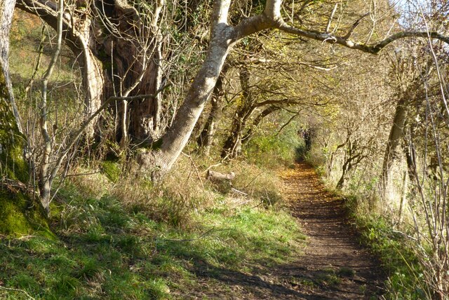
The hill is known for its picturesque surroundings, offering sweeping views of the surrounding countryside. It is characterized by rolling green hills, patches of woodland, and charming rural landscapes. The area is popular among nature enthusiasts and hikers, who are drawn to its tranquil atmosphere and diverse wildlife.

Ford Hill is home to a variety of plant and animal species, including rare orchids, butterflies, and birds. The rich biodiversity of the area contributes to its ecological importance and makes it a designated Site of Special Scientific Interest (SSSI).

Within close proximity to the hill lies the small village of Tisbury, which adds to the charm and accessibility of Ford Hill. Tisbury offers amenities such as accommodation, local pubs, and cafes, providing visitors with opportunities to relax and refuel after exploring the natural beauty of Ford Hill.

Overall, Ford Hill in Wiltshire is a beautiful and serene destination, offering breathtaking views, diverse flora and fauna, and an idyllic countryside setting. It serves as a popular spot for outdoor activities and provides a peaceful retreat for those seeking to immerse themselves in nature.

If you have any feedback on the listing, please let us know in the comments section below.
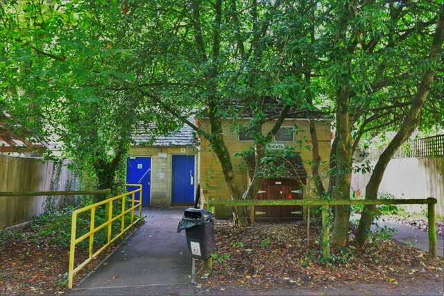
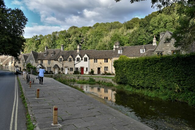
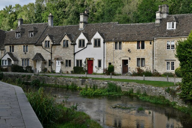
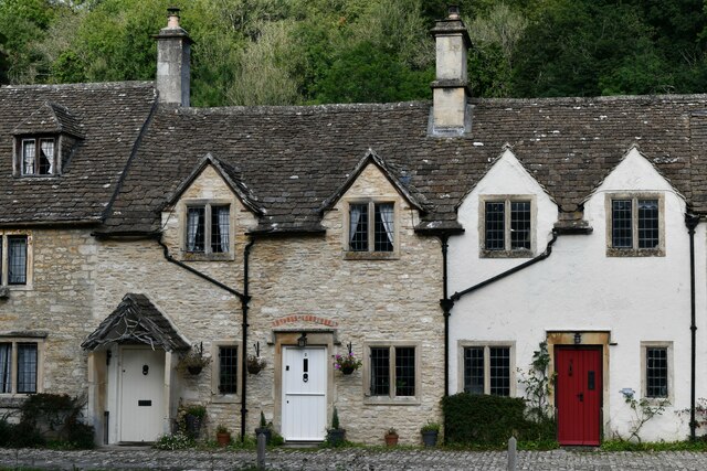
Ford Hill Images

Images are sourced within 2km of 51.474978/-2.2341969 or Grid Reference ST8375. Thanks to Geograph Open Source API. All images are credited.

Castle Combe: The Public Conveniences One point of interest; we were in the designated car park a long way from the village and were told there were four spaces outside the toilets. We then parked there without restriction, a short distance from the village and its parking restrictions.
Castle Combe: The Public Conveniences
One point of interest; we were in the designated car park a long way from the village and were told there were four spaces outside the toilets. We then parked there without restriction, a short distance from the village and its parking restrictions.
Castle Combe: The Street
Castle Combe: Cottages
Castle Combe: Two cottages
Castle Combe: Cottages
Castle Combe: Cottage with post box
Cottages in Castle Combe Cottages beside the By Brook in the picturesque village of Castle Combe.
Cottages in Castle Combe
Cottages beside the By Brook in the picturesque village of Castle Combe.
House in Castle Combe House in Castle Combe with a gambrel roof.
House in Castle Combe
House in Castle Combe with a gambrel roof.
Macmillan Way near Castle Combe By Brook follows through this valley.
Macmillan Way near Castle Combe
By Brook follows through this valley.
The Macmillan Way The Macmillan Way between Castle Combe and Long Dean.
The Macmillan Way
The Macmillan Way between Castle Combe and Long Dean.
Autumn beech trees Autumn beech trees beside the Macmillan Way between Castle Combe and Long Dean.
Autumn beech trees
Autumn beech trees beside the Macmillan Way between Castle Combe and Long Dean.
Cottages in Castle Combe Cottages beside By Brook in the village of Castle Combe.
Cottages in Castle Combe
Cottages beside By Brook in the village of Castle Combe.
The Macmillan Way The Macmillan Way passing beech trees with a few autumn leaves remaining to the south of Castle Combe.
The Macmillan Way
The Macmillan Way passing beech trees with a few autumn leaves remaining to the south of Castle Combe.
The Macmillan Way south of Castle Combe The Macmillan Way south of Castle Combe above By Brook which flows through this combe.
The Macmillan Way south of Castle Combe
The Macmillan Way south of Castle Combe above By Brook which flows through this combe.
The Macmillan Way The Macmillan Way south of Castle Combe following the combe through which By Brook flows.
The Macmillan Way
The Macmillan Way south of Castle Combe following the combe through which By Brook flows.
The Macmillan Way near Long Dean
Cottages in Long Dean The Macmillan Way long distance path follows a bridleway as it passes through this small hamlet of Long Dean.
Cottages in Long Dean
The Macmillan Way long distance path follows a bridleway as it passes through this small hamlet of Long Dean.
Show me another place!

Ford Hill is located at Grid Ref: ST8375 (Lat: 51.474978, Lng: -2.2341969)

Unitary Authority: Wiltshire

Police Authority: Wiltshire

What 3 Words

///pine.rezoning.walkway. Near North Wraxall, Wiltshire

Related Wikis

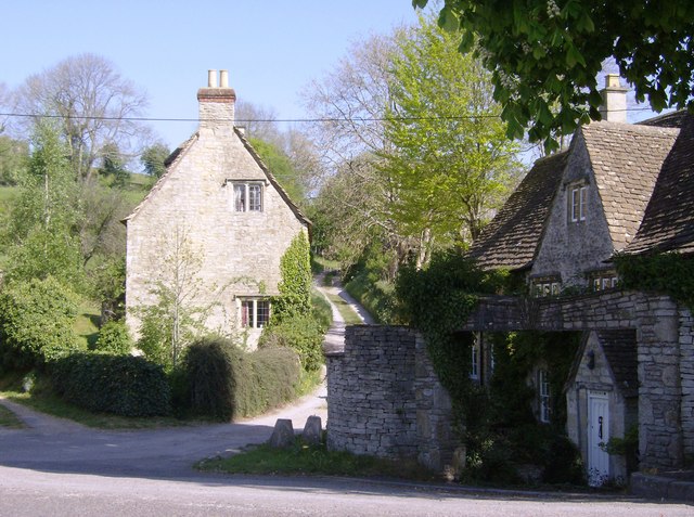
Ford, North Wiltshire

Ford is a small village in the north-west of Wiltshire, England. The village is on the A420 road, 4 miles west of Chippenham and 11 miles east of Bristol...

Danks Down and Truckle Hill

Danks Down and Truckle Hill (grid reference ST834758) is a 13.1 hectare biological Site of Special Scientific Interest in Wiltshire, notified in 1990....

Rack Hill

Rack Hill (grid reference ST842762) is a 10.6 hectare biological Site of Special Scientific Interest in Wiltshire, notified in 1975. It is also the geographical...

Slaughterford

Slaughterford is a small village in the civil parish of Biddestone and Slaughterford, about 5 miles (8 km) west of Chippenham, in Wiltshire, England. The...

Out Woods

Out Woods (grid reference ST833763) is a 14.3 hectare biological Site of Special Scientific Interest in Wiltshire, notified in 1975. It is an ancient Ash...

West Yatton Down

West Yatton Down (grid reference ST852760) is a 14.4 hectare biological Site of Special Scientific Interest in Wiltshire, notified in 1971. The site is...
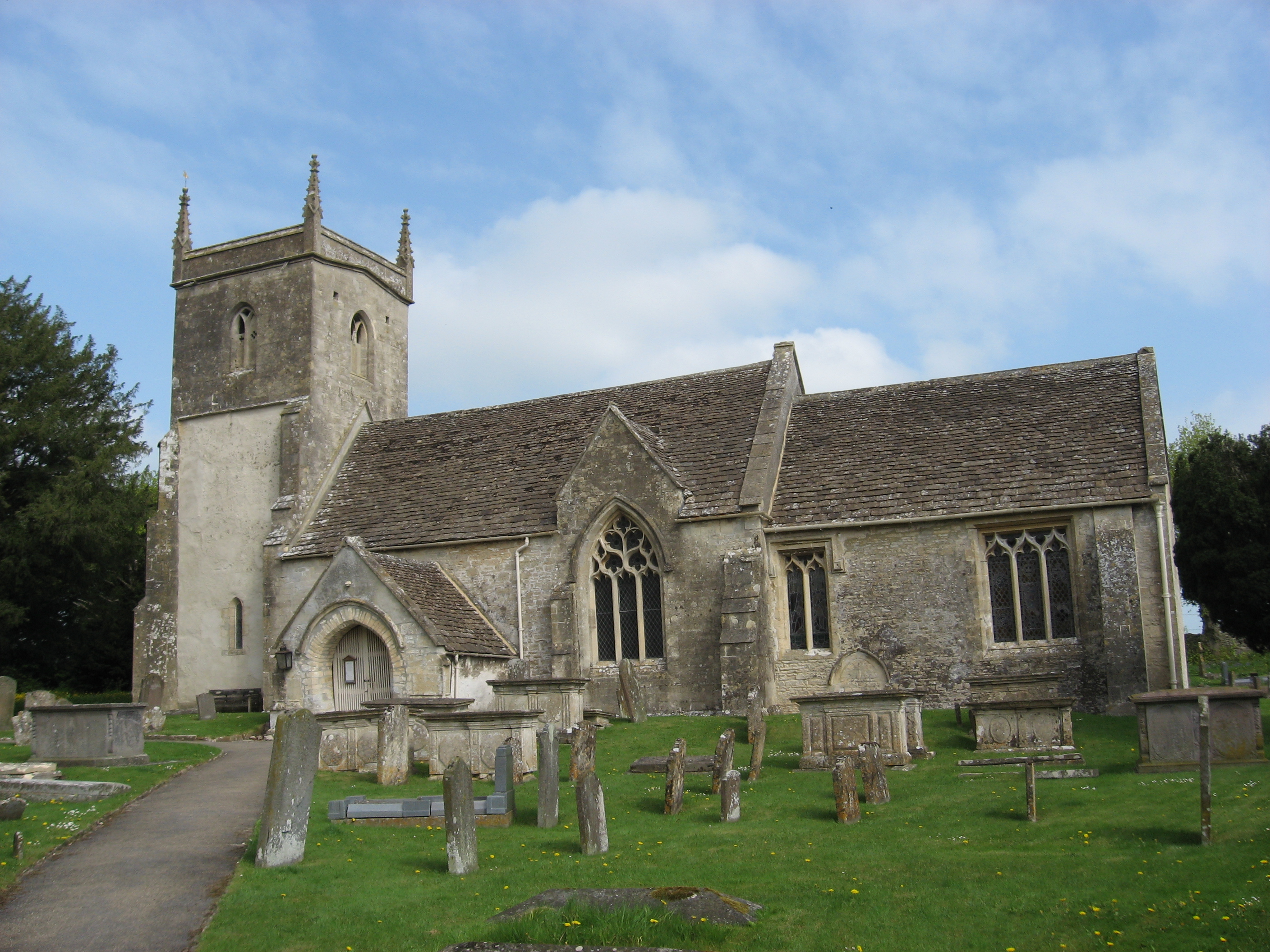
North Wraxall

North Wraxall is a village and civil parish in Wiltshire, England. The village is about 6 miles (10 km) west of Chippenham, just north of the A420 road...
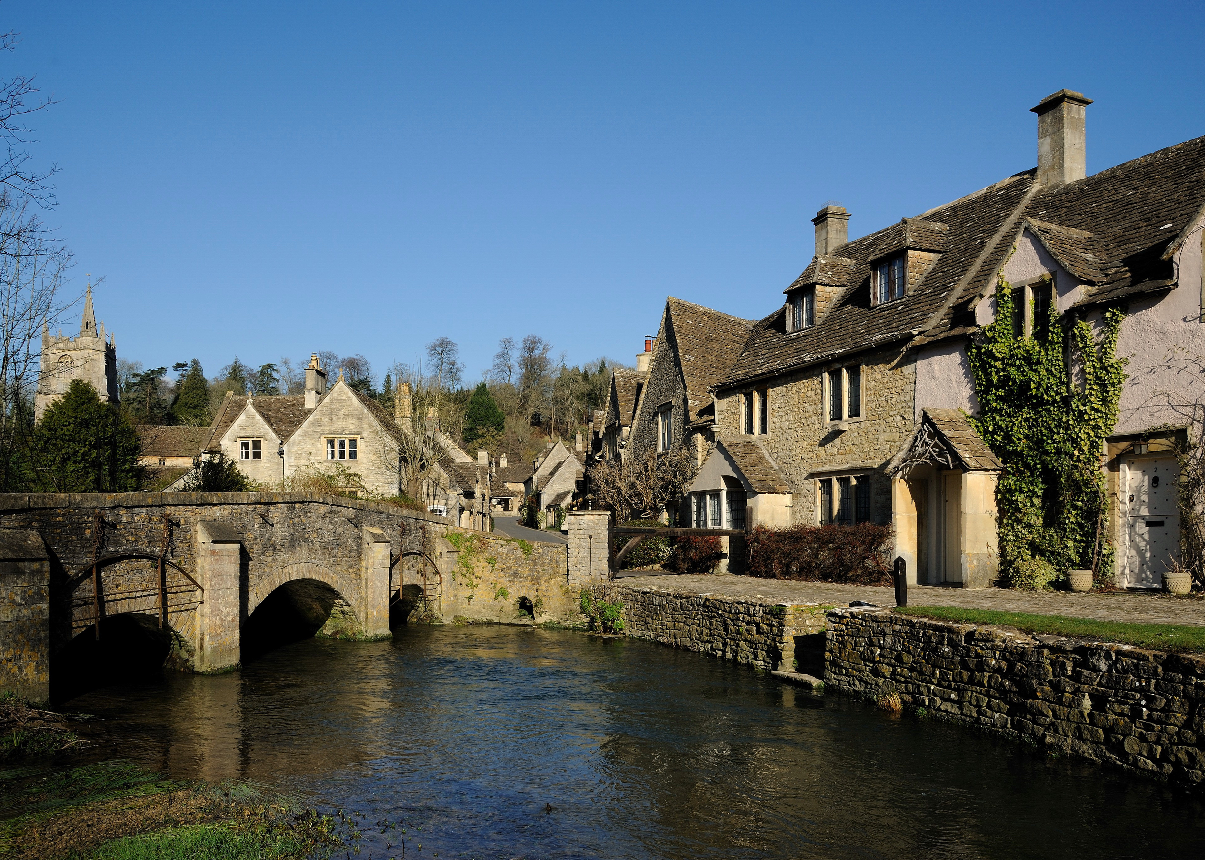
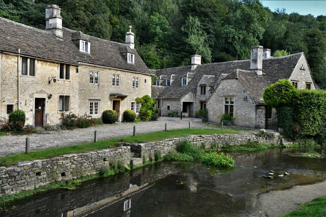
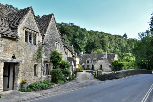
Castle Combe

Castle Combe is a village and civil parish within the Cotswolds Area of Outstanding Natural Beauty in Wiltshire, England. The village is around 5 miles...

Nearby Amenities

Located within 500m of 51.474978,-2.2341969
Ford
Is In: Wiltshire, England, UK
Place: hamlet
Postal Code: SN14 8
Wikidata: Q5467611
Lat/Long: 51.4725437/-2.2295642
Telephone
Booth: K6
Covered: booth
Listed Status: Grade II
Operator: BT
Operator Wikidata: Q593786
Phone: +44 1249 782469
Postal Code: SN14 8RP
Lat/Long: 51.4725793/-2.2300012
Barrier: stile
Foot: designated
Lat/Long: 51.4715246/-2.2336259
Post Box
Collection Times: Mo-Fr 16:45; Sa 08:45
Drive Through: no
Operator: Royal Mail
Operator Wikidata: Q638098
Post Box Mounting: metal_post
Post Box Type: lamp
Ref: SN14 97
Royal Cypher: EIIR
Royal Cypher Wikidata: Q33102113
Source: survey
Lat/Long: 51.4725835/-2.2300705
Ford Hill
Ele: 114
Natural: peak
Source: OS 1:25k
Lat/Long: 51.4754486/-2.2355063
Disused Amenity: post_box
Post Box Type: wall
Royal Cypher: GVIR
Lat/Long: 51.4725454/-2.229129
Bench
Lat/Long: 51.4779152/-2.2293503
The data included in this document is from www.openstreetmap.org. The data is made available under ODbL.

Have you been to Ford Hill?

Leave your review of Ford Hill below (or comments, questions and feedback).