Cold Harbour
Wood, Forest in Wiltshire
England
Cold Harbour
Cold Harbour is a small woodland area located in the county of Wiltshire, England. Situated near the village of Wood, Cold Harbour is a serene and picturesque forest that covers an area of approximately 100 acres.
The forest is predominantly made up of deciduous trees, such as oak, beech, and ash, which create a dense canopy overhead. These trees provide shelter to a variety of wildlife, including birds, mammals, and insects. Cold Harbour is known for its biodiversity, with numerous species of flora and fauna thriving within its boundaries.
The forest features several walking trails that wind through the woodland, offering visitors the opportunity to explore its beauty. These trails are well-maintained and suitable for both casual walkers and more experienced hikers.
Cold Harbour is also home to a small pond, which adds to the natural charm of the forest. The pond attracts various water-loving creatures, including frogs, newts, and dragonflies. It is a popular spot for photographers and nature enthusiasts who come to capture the beauty of the reflections in the water.
In addition to its natural beauty, Cold Harbour is also steeped in history. The forest has ancient origins and is believed to have been used for various purposes throughout the centuries, including as a hunting ground and a source of timber. Archaeological evidence suggests that the area has been inhabited since prehistoric times.
Overall, Cold Harbour in Wiltshire is a stunning woodland area that offers a tranquil escape for nature lovers and a fascinating glimpse into the region's history.
If you have any feedback on the listing, please let us know in the comments section below.
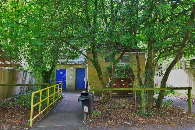
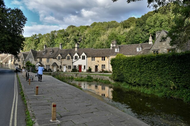
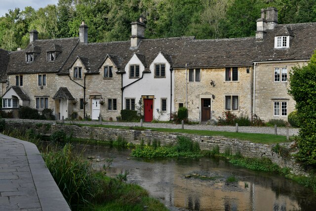
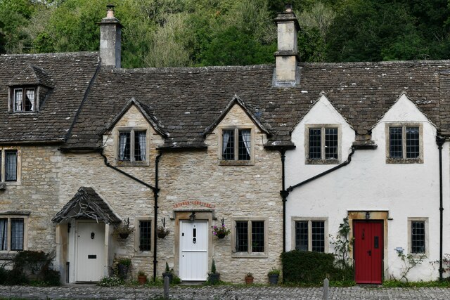
Cold Harbour Images
Images are sourced within 2km of 51.478876/-2.2365353 or Grid Reference ST8375. Thanks to Geograph Open Source API. All images are credited.

Cold Harbour is located at Grid Ref: ST8375 (Lat: 51.478876, Lng: -2.2365353)
Unitary Authority: Wiltshire
Police Authority: Wiltshire
What 3 Words
///elbowed.mooring.sharpens. Near North Wraxall, Wiltshire
Nearby Locations
Related Wikis

Danks Down and Truckle Hill
Danks Down and Truckle Hill (grid reference ST834758) is a 13.1 hectare biological Site of Special Scientific Interest in Wiltshire, notified in 1990....

Out Woods
Out Woods (grid reference ST833763) is a 14.3 hectare biological Site of Special Scientific Interest in Wiltshire, notified in 1975. It is an ancient Ash...
Rack Hill
Rack Hill (grid reference ST842762) is a 10.6 hectare biological Site of Special Scientific Interest in Wiltshire, notified in 1975. It is also the geographical...
Ford, North Wiltshire
Ford is a small village in the north-west of Wiltshire, England. The village is on the A420 road, 4 miles west of Chippenham and 11 miles east of Bristol...

West Yatton Down
West Yatton Down (grid reference ST852760) is a 14.4 hectare biological Site of Special Scientific Interest in Wiltshire, notified in 1971. The site is...
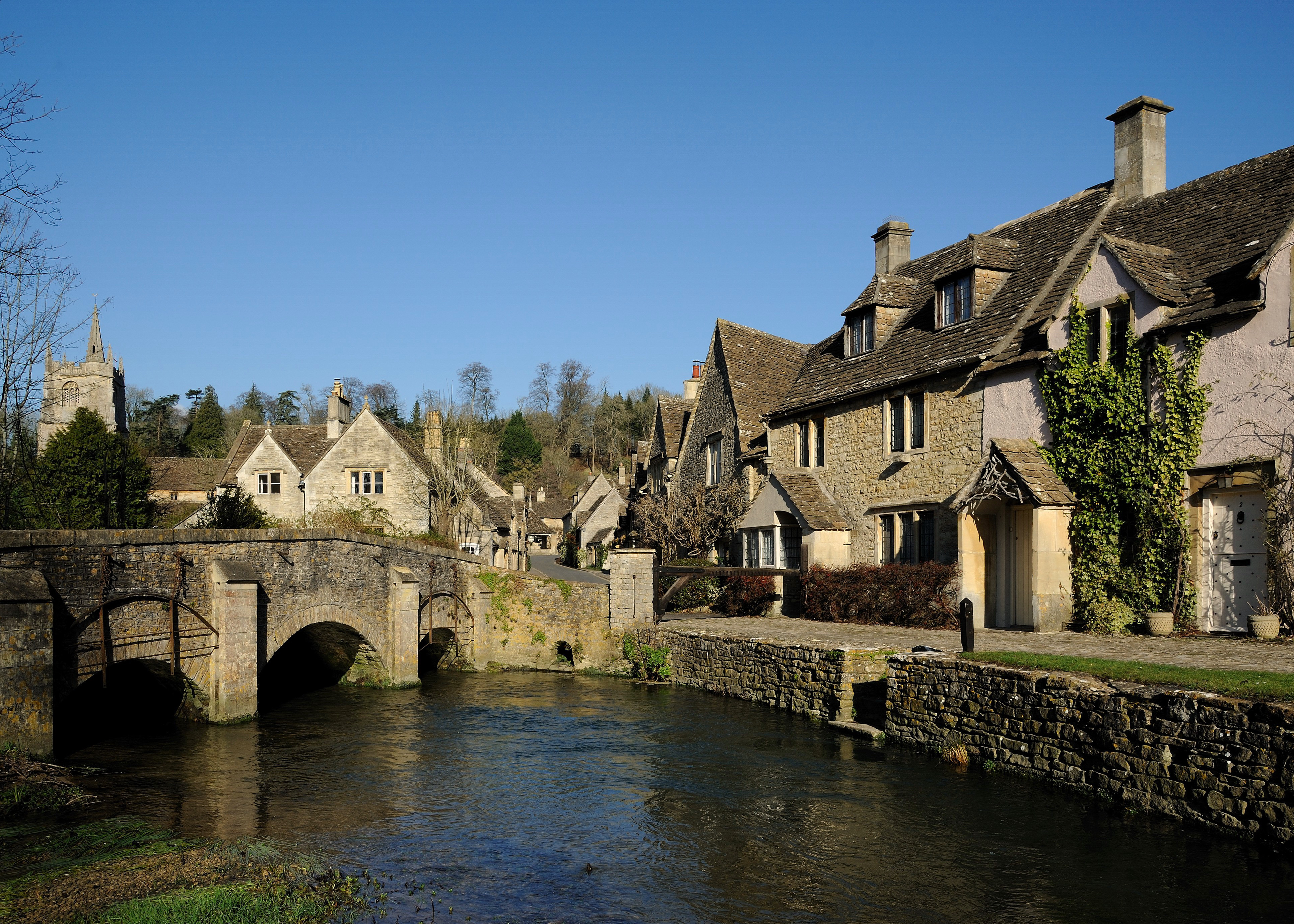
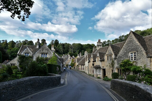
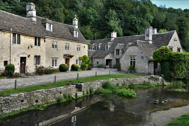
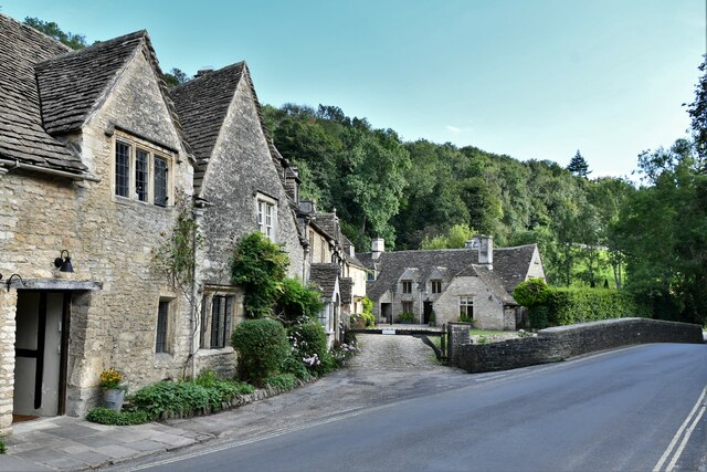
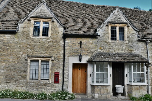
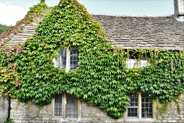
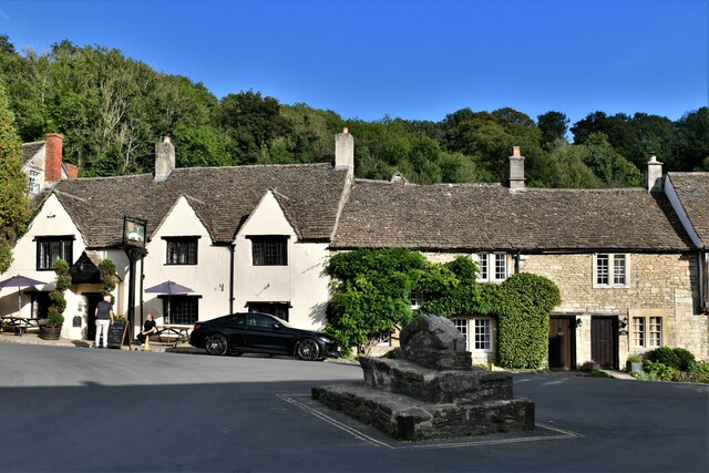
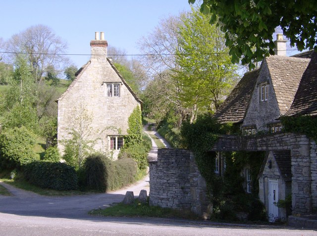
Castle Combe
Castle Combe is a village and civil parish within the Cotswolds Area of Outstanding Natural Beauty in Wiltshire, England. The village is around 5 miles...

The Manor House, Castle Combe
The Manor House is a 17th-century country house hotel in Castle Combe, Wiltshire in the south of England. == History == The Manor House is noteworthy for...

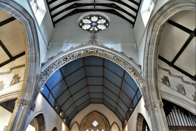
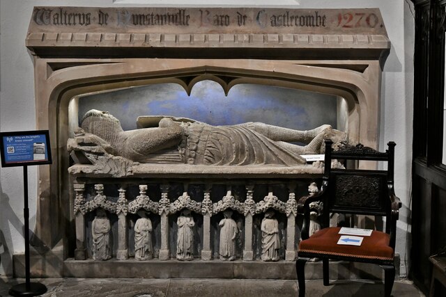
Castle Combe Clock
The Castle Combe clock in St. Andrew's Church, Castle Combe, Wiltshire, England was probably made in the late 15th century. It is faceless and strikes...
Nearby Amenities
Located within 500m of 51.478876,-2.2365353Have you been to Cold Harbour?
Leave your review of Cold Harbour below (or comments, questions and feedback).