Cringlands Hill
Hill, Mountain in Yorkshire Ribble Valley
England
Cringlands Hill

Cringlands Hill is a prominent geographical feature located in the county of Yorkshire, England. It is situated near the village of Cringletop, nestled within the picturesque landscape of the Yorkshire Dales National Park. This natural wonder is often referred to as a hill, although some may argue that its elevation qualifies it as a small mountain.
Standing at an impressive height of approximately 600 meters (1968 feet) above sea level, Cringlands Hill offers breathtaking panoramic views of the surrounding countryside. Its summit provides a vantage point from which visitors can admire the rolling hills, lush green meadows, and charming villages that dot the region.
The hill itself is characterized by its distinctive shape, with a gentle slope on one side and a steeper incline on the other. As a result, it attracts both avid hikers seeking a challenging ascent and casual walkers looking for a more leisurely stroll. Several well-marked trails crisscross the hill, ensuring that visitors can explore its terrain and discover its hidden beauty.
Cringlands Hill is also home to a variety of flora and fauna, showcasing the rich biodiversity of the area. From colorful wildflowers to grazing sheep, the hill provides a habitat for numerous species, adding to its natural appeal.
Throughout the year, Cringlands Hill attracts nature enthusiasts, outdoor adventurers, and those seeking a tranquil escape. Its serene atmosphere and stunning vistas make it a popular destination for locals and tourists alike, who relish the opportunity to experience the beauty and tranquility of this remarkable landscape in the heart of Yorkshire.
If you have any feedback on the listing, please let us know in the comments section below.
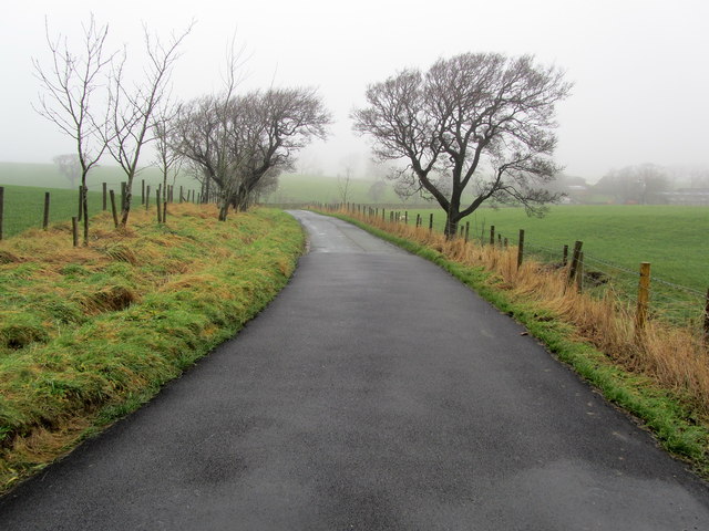
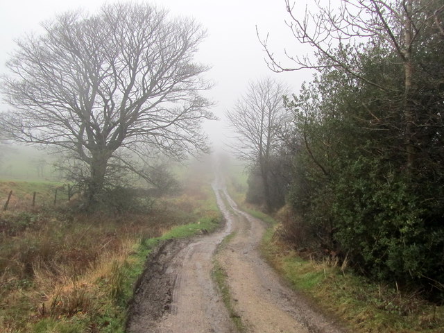
Cringlands Hill Images
Images are sourced within 2km of 53.918534/-2.2484589 or Grid Reference SD8346. Thanks to Geograph Open Source API. All images are credited.


Cringlands Hill is located at Grid Ref: SD8346 (Lat: 53.918534, Lng: -2.2484589)
Division: West Riding
Administrative County: Lancashire
District: Ribble Valley
Police Authority: Lancashire
What 3 Words
///spoon.pokes.baths. Near Barnoldswick, Lancashire
Nearby Locations
Related Wikis

Middop
Middop is a rural hamlet and civil parish in Lancashire, England. It is in Ribble Valley district. Middop is near the villages of Rimington and Gisburn...

Gisburn
Gisburn (formerly Gisburne) is a village and civil parish within the Ribble Valley borough of Lancashire, England. Historically within the West Riding...

Gisburn Tunnel
Gisburn Tunnel is a short railway tunnel on the Ribble Valley line in Lancashire, England. The tunnel is 157 yards (144 m) long, just to the east of Gisburn...

Gisburn railway station
Gisburn railway station served the small village of Gisburn, which is now in Lancashire, England, but was in the West Riding of Yorkshire at the time....

Gisburne Park
Gisburne Park is an 18th-century country house and associated park in Gisburn, Lancashire, England, in the Ribble Valley some 6 miles (10 km) north-east...

Bracewell and Brogden
Bracewell and Brogden is a civil parish in the West Craven area of the Borough of Pendle in Lancashire, England. According to the 2001 census it had a...

Weets Hill
Weets Hill is a hill in the West Craven area of Pendle, Lancashire, England. It is 2+1⁄2 miles (4.0 km) south-west of the town of Barnoldswick and is 4...

St Michael's Church, Bracewell
St Michael's Church is in Bracewell Lane, Bracewell, Lancashire, England. It is an active Anglican parish church in the deanery of Skipton, the archdeaconry...
Nearby Amenities
Located within 500m of 53.918534,-2.2484589Have you been to Cringlands Hill?
Leave your review of Cringlands Hill below (or comments, questions and feedback).