Keasden

Settlement in Yorkshire Craven

England

Keasden

Fingerpost sign next to River Wenning A repaired fingerpost sign near Clapham Station, North Yorkshire
Fingerpost sign next to River Wenning Credit: Bob McPartland

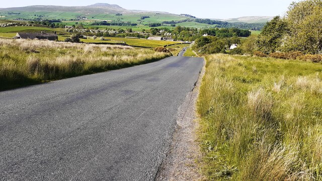
Keasden is a small village located in the Craven district of North Yorkshire, England. Nestled within the picturesque Yorkshire Dales National Park, it is surrounded by rolling hills, lush green meadows, and stunning natural scenery. The village is situated approximately 10 miles northwest of the market town of Settle and is easily accessible by road.

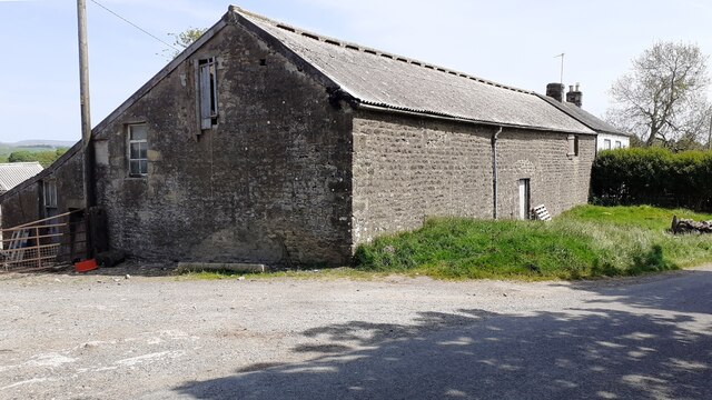
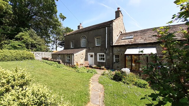
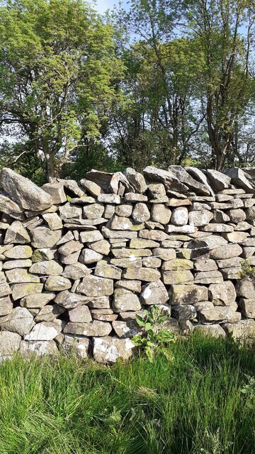
With a population of around 150 residents, Keasden has a close-knit community that values its rural heritage and tranquil atmosphere. The village is characterized by its traditional stone-built houses, many of which date back to the 18th and 19th centuries. These charming buildings contribute to the village's timeless charm and blend harmoniously with the surrounding landscape.

Despite its small size, Keasden boasts a number of local amenities, including a village hall that serves as a hub for community events and gatherings. The village also has a primary school, providing education for the local children.

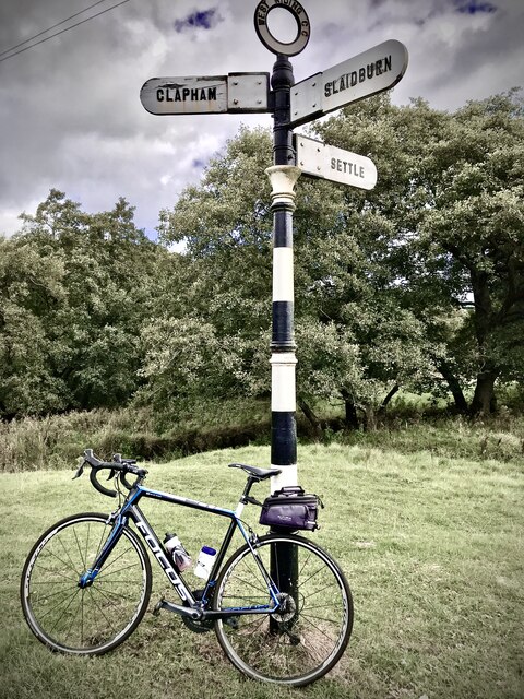
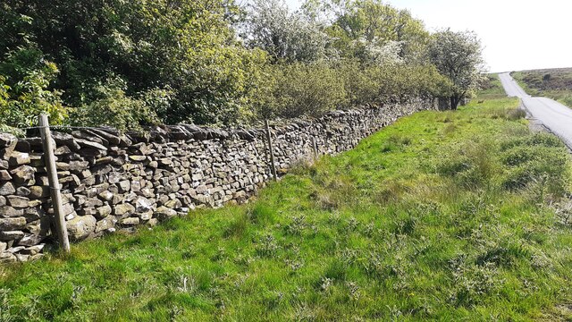
Keasden offers abundant opportunities for outdoor activities and exploration. The surrounding area is a haven for hikers, nature enthusiasts, and cyclists, with a network of footpaths and trails crisscrossing the stunning countryside. In addition, the village is in close proximity to attractions such as the Yorkshire Dales Falconry and Conservation Centre, Malham Cove, and Ingleborough Cave.

Overall, Keasden is a tranquil and picturesque village that offers a peaceful retreat for both residents and visitors, with its stunning natural beauty and strong sense of community.

If you have any feedback on the listing, please let us know in the comments section below.
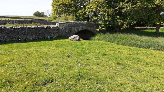
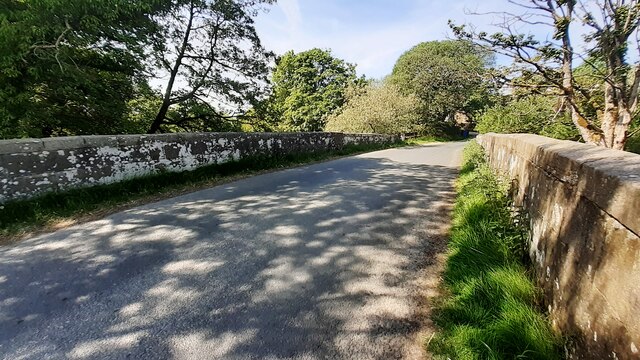
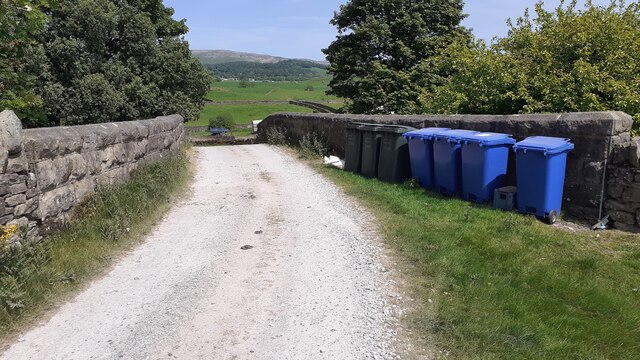
Keasden Images

Images are sourced within 2km of 54.095273/-2.424736 or Grid Reference SD7266. Thanks to Geograph Open Source API. All images are credited.

Fingerpost sign next to River Wenning A repaired fingerpost sign near Clapham Station, North Yorkshire
Fingerpost sign next to River Wenning
A repaired fingerpost sign near Clapham Station, North Yorkshire
Wenning Bank Bridge Stone bridge over the River Wenning near Clapham Station, North Yorkshire
Wenning Bank Bridge
Stone bridge over the River Wenning near Clapham Station, North Yorkshire
Sheep grazing on Clapham Moor
Looking NE along moorland road leading to Clapham Station
Diesel multiple unit 158850 leaves Clapham Station for Morecambe The train is the Northern service from Leeds
Diesel multiple unit 158850 leaves Clapham Station for Morecambe
The train is the Northern service from Leeds
Barn and house at Nutta Farm on NE side of road
Benchmark on stone jamb of door of former post office at Wenning Bank Ordnance Survey cut mark benchmark levelled at 135.371m above Newlyn Datum verified 1953
Benchmark on stone jamb of door of former post office at Wenning Bank
Ordnance Survey cut mark benchmark levelled at 135.371m above Newlyn Datum verified 1953
House at Wenning Bank There is an Ordnance Survey benchmark <a href="https://www.geograph.org.uk/photo/7499989">SD7367 : Benchmark on stone jamb of door of former post office at Wenning Bank</a>  on the left hand jamb of the white door
House at Wenning Bank
There is an Ordnance Survey benchmark SD7367 : Benchmark on stone jamb of door of former post office at Wenning Bank on the left hand jamb of the white door
Benchmark on Calterber Bridge Ordnance Survey cut mark benchmark levelled at 128.101m above Newlyn Datum verified 1953
Benchmark on Calterber Bridge
Ordnance Survey cut mark benchmark levelled at 128.101m above Newlyn Datum verified 1953
SE face of Calterber Bridge There is an Ordnance Survey benchmark <a href="https://www.geograph.org.uk/photo/7500003">SD7367 : Benchmark on Calterber Bridge</a>  on the bridge arch on far side of river
SE face of Calterber Bridge
There is an Ordnance Survey benchmark SD7367 : Benchmark on Calterber Bridge on the bridge arch on far side of river
Benchmark on western parapet of Wenning Bridge Ordnance Survey cut mark benchmark levelled at 125.971m above Newlyn Datum verified 1953
Benchmark on western parapet of Wenning Bridge
Ordnance Survey cut mark benchmark levelled at 125.971m above Newlyn Datum verified 1953
Wenning Bridge, taking Wenning Bank over River Wenning There is an Ordnance Survey benchmark <a href="https://www.geograph.org.uk/photo/7500665">SD7367 : Benchmark on western parapet of Wenning Bridge</a> on the left hand parapet over the centre of the river
Wenning Bridge, taking Wenning Bank over River Wenning
There is an Ordnance Survey benchmark SD7367 : Benchmark on western parapet of Wenning Bridge on the left hand parapet over the centre of the river
Benchmark on roadside wall west of Meldingscale Farm Ordnance Survey rivet benchmark levelled at 132.094m above Newlyn Datum verified 1953
Benchmark on roadside wall west of Meldingscale Farm
Ordnance Survey rivet benchmark levelled at 132.094m above Newlyn Datum verified 1953
Dry stone wall beside rural road at Meldingscale Farm There is an Ordnance Survey benchmark on the stone at the base of the wall right of the nearest fence post at the left hand edge of the image
Dry stone wall beside rural road at Meldingscale Farm
There is an Ordnance Survey benchmark on the stone at the base of the wall right of the nearest fence post at the left hand edge of the image
Benchmark on dry stone wall on west side of road south of Wenning Bridge Ordnance Survey rivet benchmark levelled at 140.568m above Newlyn Datum verified 1953
Benchmark on dry stone wall on west side of road south of Wenning Bridge
Ordnance Survey rivet benchmark levelled at 140.568m above Newlyn Datum verified 1953
Dry stone wall and trees on southeast side of road on Clapham Moor There is an Ordnance Survey benchmark <a href="https://www.geograph.org.uk/photo/7500700">SD7367 : Benchmark on dry stone wall on west side of road south of Wenning Bridge</a> on a stone at the base of the wall left of a foxglove
Dry stone wall and trees on southeast side of road on Clapham Moor
There is an Ordnance Survey benchmark SD7367 : Benchmark on dry stone wall on west side of road south of Wenning Bridge on a stone at the base of the wall left of a foxglove
Nutta Bridge taking farm access track over former railway line
Clapham Station looking towards overbridge and Station House
Show me another place!

Keasden is located at Grid Ref: SD7266 (Lat: 54.095273, Lng: -2.424736)

Division: West Riding

Administrative County: North Yorkshire

District: Craven

Police Authority: North Yorkshire

What 3 Words

///helps.cyclones.tangible. Near High Bentham, North Yorkshire

Related Wikis

Keasden

Keasden is a hamlet in the civil parish of Clapham-cum-Newby, in the Craven district of the county of North Yorkshire, in the north-western England. It...

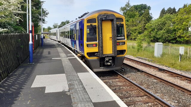
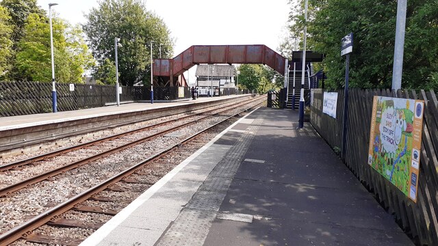
Clapham railway station

Clapham is a railway station on the Bentham Line, which runs between Leeds and Morecambe via Skipton. The station, situated 48 miles (77 km) north-west...

Keasden Beck

Keasden Beck is a stream in Yorkshire (formerly the West Riding) rising near Keasden Head, joining the River Wenning south west of Clapham. == References... ==

Clapham cum Newby

Clapham cum Newby is a civil parish in the Craven district of North Yorkshire, England. It was formerly in the Settle Rural District. It contains the villages...

Clapham, North Yorkshire

Clapham is a village in the civil parish of Clapham cum Newby in the Craven district of North Yorkshire, England. It was previously in the West Riding...

Eldroth

Eldroth is a village in North Yorkshire, England. It is in the civil parish of Lawkland, part of the former Craven District, some 3.25 miles (5.23 km)...

Austwick

Austwick is a village and civil parish in the Craven district of North Yorkshire, England, about 5 miles (8 km) north-west of Settle. The village is on...
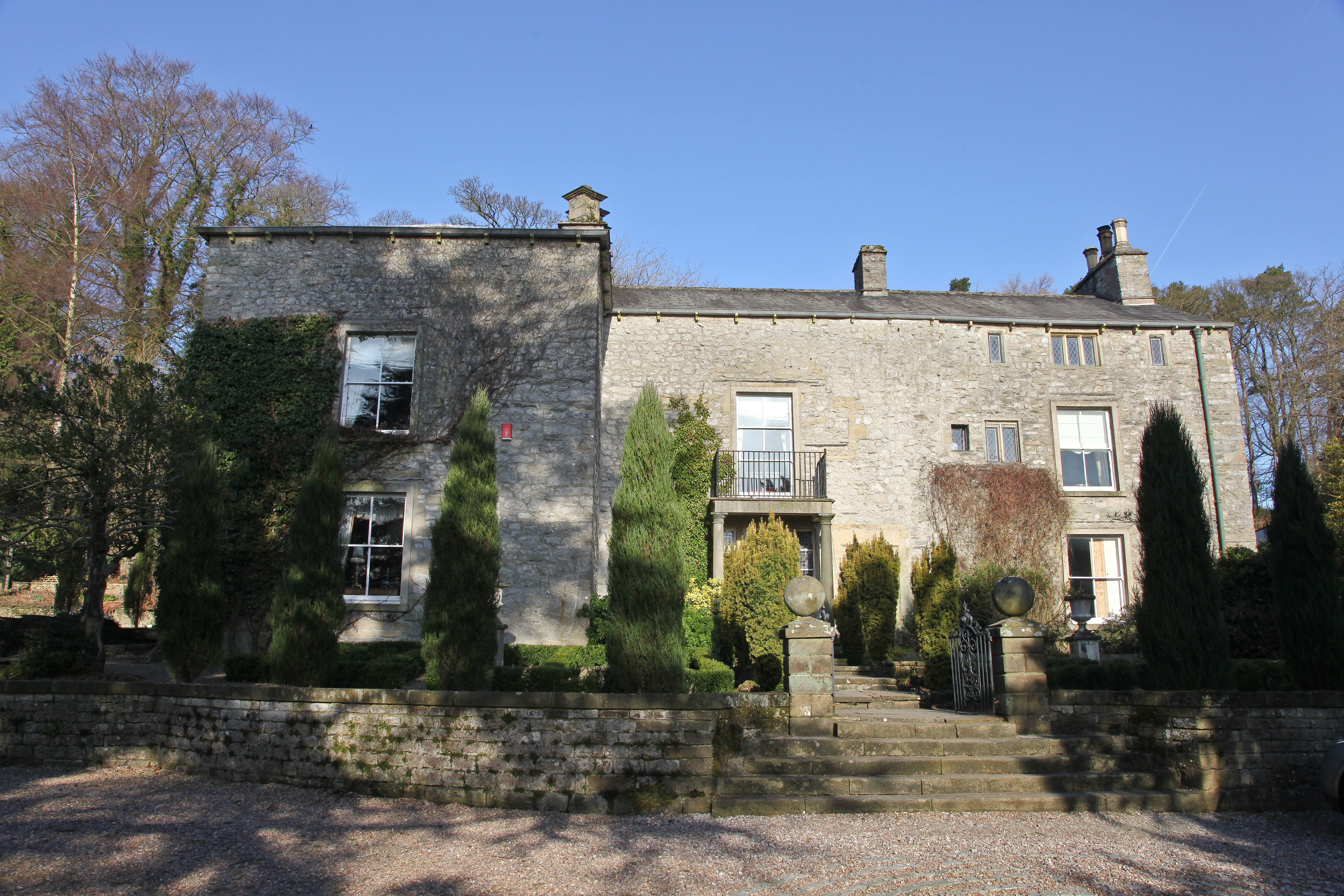
Austwick Hall

Austwick Hall is an historic manor house situated above the village of Austwick in North Yorkshire, England. The house is a Grade II listed building and...

Nearby Amenities

Located within 500m of 54.095273,-2.424736
Keasden
Is In: raven, North Yorkshire
Place: hamlet
Wikidata: Q16246945
Lat/Long: 54.0931487/-2.4212217
Clapham Moor
Created By: Potlatch 0.10f
Is In: Craven, North Yorkshire, Yorkshire, England, UK
Place: locality
Source: npe
Lat/Long: 54.0981451/-2.4191741
Telephone
Booth: KX100
Covered: booth
Lat/Long: 54.09457/-2.4248432
Power: pole
Source: Bing
Lat/Long: 54.0915962/-2.422981
Power: pole
Source: Bing
Lat/Long: 54.0922428/-2.4237151
Power: pole
Source: Bing
Lat/Long: 54.092935/-2.4245399
Power: pole
Source: Bing
Lat/Long: 54.093583/-2.4253025
Power: pole
Source: Bing
Lat/Long: 54.0942904/-2.426143
Power: pole
Source: Bing
Lat/Long: 54.0948274/-2.4271754
Power: pole
Source: Bing
Lat/Long: 54.0953659/-2.4282285
Power: pole
Source: Bing
Lat/Long: 54.0958785/-2.4292246
Power: pole
Source: Bing
Lat/Long: 54.0964064/-2.4302388
Power: pole
Source: Bing
Lat/Long: 54.0968809/-2.430921
Power: pole
Source: Bing
Lat/Long: 54.0939101/-2.4243298
Power: pole
Source: Bing
Lat/Long: 54.0941763/-2.4235075
Power: pole
Source: Bing
Lat/Long: 54.0944349/-2.4226879
Power: pole
Source: Bing
Lat/Long: 54.0947985/-2.4215413
Power: pole
Source: Bing
Lat/Long: 54.0951499/-2.4203948
Power: pole
Source: Bing
Lat/Long: 54.0951803/-2.4190927
Power: pole
Source: Bing
Lat/Long: 54.0951986/-2.4178294
Power: pole
Lat/Long: 54.0948791/-2.4236009
Power: pole
Lat/Long: 54.0956945/-2.4238759
Power: pole
Lat/Long: 54.0965189/-2.4241197
Power: pole
Lat/Long: 54.0973403/-2.4243869
Power: pole
Lat/Long: 54.0979913/-2.4241275
Power: pole
Lat/Long: 54.0984827/-2.4239459
The data included in this document is from www.openstreetmap.org. The data is made available under ODbL.

Have you been to Keasden?

Leave your review of Keasden below (or comments, questions and feedback).