Clapham Moor

Downs, Moorland in Yorkshire Craven

England

Clapham Moor

Direction Sign – Signpost on Eldroth Road, Lawkland Located on the northwest side of the T junction of Eldroth Road and Fummerber Lane in Lawkland parish. 3 arms and annulus & bar finial. See also <a title="https://www.geograph.org.uk/photo/5834757" href="https://www.geograph.org.uk/photo/5834757">Link</a> and <a title="https://www.geograph.org.uk/photo/4613723" href="https://www.geograph.org.uk/photo/4613723">Link</a>.

Milestone Society National ID: YW_SD7466A
Direction Sign – Signpost on Eldroth Road, Lawkland Credit: D Phillips

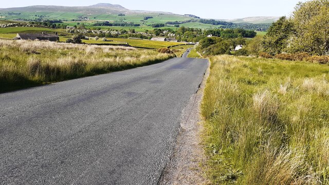
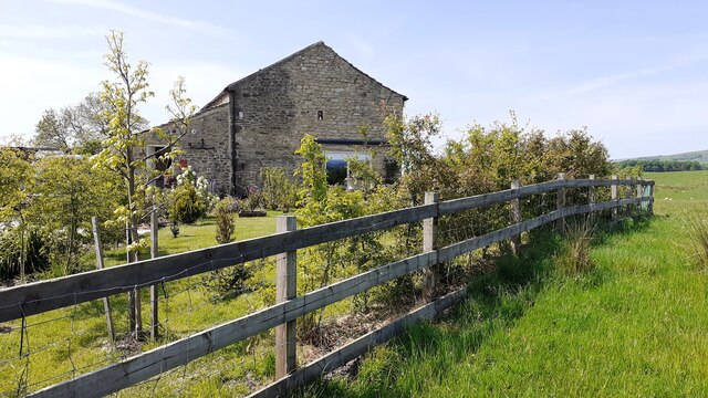
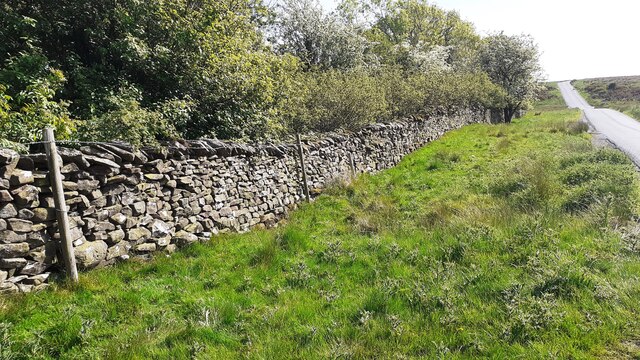
Clapham Moor, located in Yorkshire, England, is a scenic and historically significant area known for its downs and moorland. Spanning approximately 1,500 acres, it is nestled within the Yorkshire Dales National Park, offering breathtaking views and a rich natural landscape.

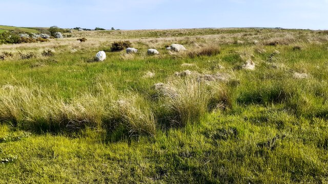
The moorland in Clapham Moor consists of vast open spaces covered in heather, grasses, and scattered patches of peat bog. These moorlands are home to a diverse range of plant and animal species, including curlews, lapwings, and red grouse, making it a haven for birdwatchers and nature enthusiasts.

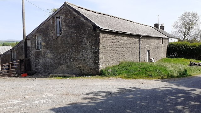
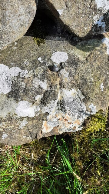
In addition to its natural charm, Clapham Moor holds historical significance. The area is dotted with evidence of early human settlements, including ancient stone circles, burial mounds, and remnants of Iron Age forts. These archaeological sites provide valuable insights into the region's past and attract historians and archaeologists from around the world.

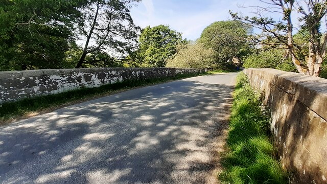
The moor is crisscrossed by a network of footpaths and trails, allowing visitors to explore its beauty and discover its hidden treasures. One of the most popular routes is the Ingleborough Cave Trail, which leads to an underground cave system that showcases stunning stalactite formations. Another notable feature is the impressive Gaping Gill, a large pothole that is home to the tallest unbroken waterfall in England.

Clapham Moor offers a peaceful retreat for those seeking tranquility and natural beauty. Whether it's a leisurely walk, birdwatching, or delving into the area's rich history, visitors are sure to find something captivating in this picturesque corner of Yorkshire.

If you have any feedback on the listing, please let us know in the comments section below.
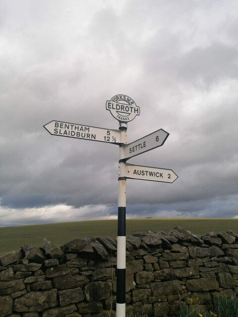
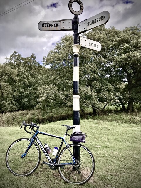
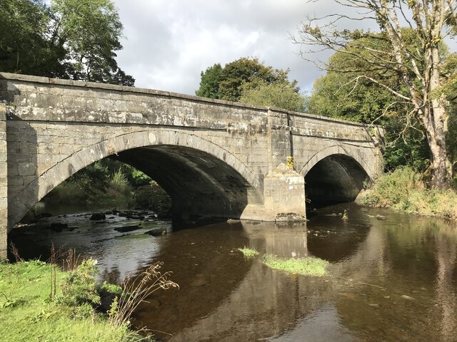
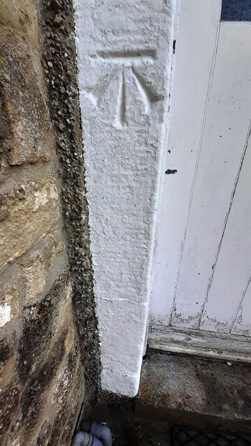
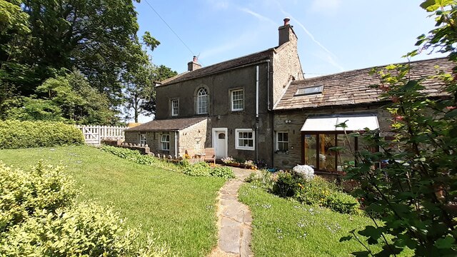
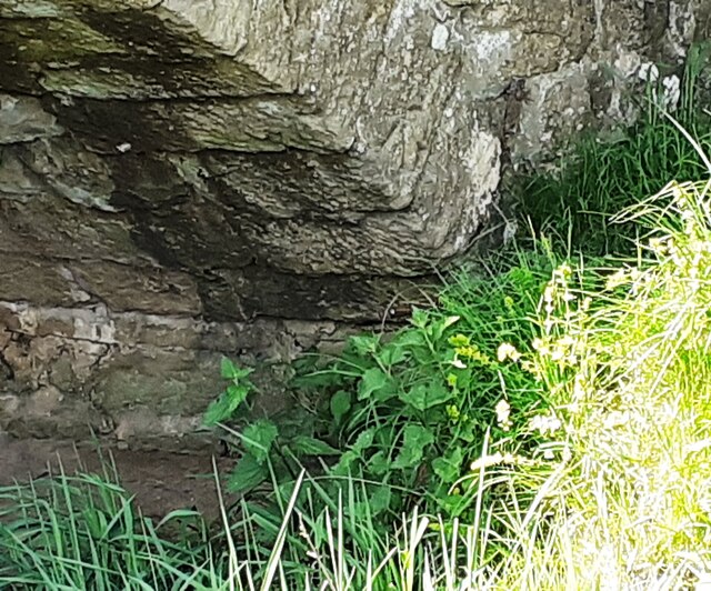
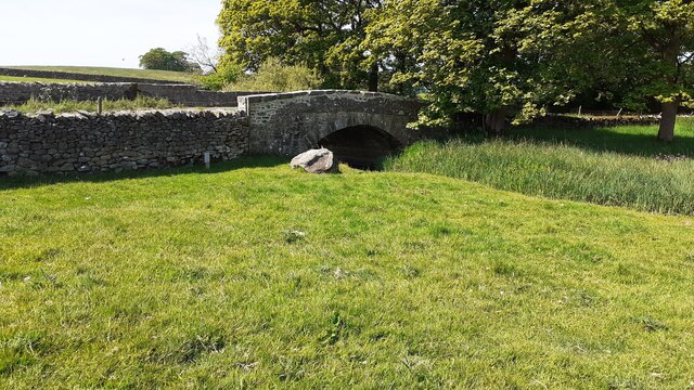
Clapham Moor Images

Images are sourced within 2km of 54.094238/-2.418767 or Grid Reference SD7266. Thanks to Geograph Open Source API. All images are credited.

Direction Sign – Signpost on Eldroth Road, Lawkland Located on the northwest side of the T junction of Eldroth Road and Fummerber Lane in Lawkland parish. 3 arms and annulus & bar finial. See also <a title="https://www.geograph.org.uk/photo/5834757" href="https://www.geograph.org.uk/photo/5834757">Link</a> and <a title="https://www.geograph.org.uk/photo/4613723" href="https://www.geograph.org.uk/photo/4613723">Link</a>.

Milestone Society National ID: YW_SD7466A
Direction Sign – Signpost on Eldroth Road, Lawkland
Located on the northwest side of the T junction of Eldroth Road and Fummerber Lane in Lawkland parish. 3 arms and annulus & bar finial. See also Link and Link. Milestone Society National ID: YW_SD7466A
Fingerpost sign next to River Wenning A repaired fingerpost sign near Clapham Station, North Yorkshire
Fingerpost sign next to River Wenning
A repaired fingerpost sign near Clapham Station, North Yorkshire
Wenning Bank Bridge Stone bridge over the River Wenning near Clapham Station, North Yorkshire
Wenning Bank Bridge
Stone bridge over the River Wenning near Clapham Station, North Yorkshire
Sheep grazing on Clapham Moor
Looking NE along moorland road leading to Clapham Station
Diesel multiple unit 158850 leaves Clapham Station for Morecambe The train is the Northern service from Leeds
Diesel multiple unit 158850 leaves Clapham Station for Morecambe
The train is the Northern service from Leeds
Barn and house at Nutta Farm on NE side of road
Benchmark on Calter Barn Ordnance Survey cut mark benchmark levelled at 138.132m verified 1953
Benchmark on Calter Barn
Ordnance Survey cut mark benchmark levelled at 138.132m verified 1953
Benchmark on stone jamb of door of former post office at Wenning Bank Ordnance Survey cut mark benchmark levelled at 135.371m above Newlyn Datum verified 1953
Benchmark on stone jamb of door of former post office at Wenning Bank
Ordnance Survey cut mark benchmark levelled at 135.371m above Newlyn Datum verified 1953
House at Wenning Bank There is an Ordnance Survey benchmark <a href="https://www.geograph.org.uk/photo/7499989">SD7367 : Benchmark on stone jamb of door of former post office at Wenning Bank</a>  on the left hand jamb of the white door
House at Wenning Bank
There is an Ordnance Survey benchmark SD7367 : Benchmark on stone jamb of door of former post office at Wenning Bank on the left hand jamb of the white door
Benchmark on Calterber Bridge Ordnance Survey cut mark benchmark levelled at 128.101m above Newlyn Datum verified 1953
Benchmark on Calterber Bridge
Ordnance Survey cut mark benchmark levelled at 128.101m above Newlyn Datum verified 1953
SE face of Calterber Bridge There is an Ordnance Survey benchmark <a href="https://www.geograph.org.uk/photo/7500003">SD7367 : Benchmark on Calterber Bridge</a>  on the bridge arch on far side of river
SE face of Calterber Bridge
There is an Ordnance Survey benchmark SD7367 : Benchmark on Calterber Bridge on the bridge arch on far side of river
Calter Barn, a barn conversion on NW side of road Quite a change for the building since the 2016 geograph <a href="https://www.geograph.org.uk/photo/4317381">SD7368 : Calterber Barn</a>! There is an Ordnance Survey benchmark <a href="https://www.geograph.org.uk/photo/7499977">SD7368 : Benchmark on Calter Barn</a> on the right hand corner of house
Calter Barn, a barn conversion on NW side of road
Quite a change for the building since the 2016 geograph SD7368 : Calterber Barn! There is an Ordnance Survey benchmark SD7368 : Benchmark on Calter Barn on the right hand corner of house
Benchmark on western parapet of Wenning Bridge Ordnance Survey cut mark benchmark levelled at 125.971m above Newlyn Datum verified 1953
Benchmark on western parapet of Wenning Bridge
Ordnance Survey cut mark benchmark levelled at 125.971m above Newlyn Datum verified 1953
Wenning Bridge, taking Wenning Bank over River Wenning There is an Ordnance Survey benchmark <a href="https://www.geograph.org.uk/photo/7500665">SD7367 : Benchmark on western parapet of Wenning Bridge</a> on the left hand parapet over the centre of the river
Wenning Bridge, taking Wenning Bank over River Wenning
There is an Ordnance Survey benchmark SD7367 : Benchmark on western parapet of Wenning Bridge on the left hand parapet over the centre of the river
Benchmark on roadside wall west of Meldingscale Farm Ordnance Survey rivet benchmark levelled at 132.094m above Newlyn Datum verified 1953
Benchmark on roadside wall west of Meldingscale Farm
Ordnance Survey rivet benchmark levelled at 132.094m above Newlyn Datum verified 1953
Dry stone wall beside rural road at Meldingscale Farm There is an Ordnance Survey benchmark on the stone at the base of the wall right of the nearest fence post at the left hand edge of the image
Dry stone wall beside rural road at Meldingscale Farm
There is an Ordnance Survey benchmark on the stone at the base of the wall right of the nearest fence post at the left hand edge of the image
Benchmark on dry stone wall on west side of road south of Wenning Bridge Ordnance Survey rivet benchmark levelled at 140.568m above Newlyn Datum verified 1953
Benchmark on dry stone wall on west side of road south of Wenning Bridge
Ordnance Survey rivet benchmark levelled at 140.568m above Newlyn Datum verified 1953
Show me another place!

Clapham Moor is located at Grid Ref: SD7266 (Lat: 54.094238, Lng: -2.418767)

Division: West Riding

Administrative County: North Yorkshire

District: Craven

Police Authority: North Yorkshire

What 3 Words

///doors.couple.emulated. Near High Bentham, North Yorkshire

Related Wikis

Keasden

Keasden is a hamlet in the civil parish of Clapham-cum-Newby, in the Craven district of the county of North Yorkshire, in the north-western England. It...

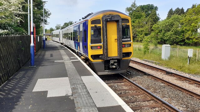
Clapham railway station

Clapham is a railway station on the Bentham Line, which runs between Leeds and Morecambe via Skipton. The station, situated 48 miles (77 km) north-west...

Keasden Beck

Keasden Beck is a stream in Yorkshire (formerly the West Riding) rising near Keasden Head, joining the River Wenning south west of Clapham. == References... ==

Clapham cum Newby

Clapham cum Newby is a civil parish in the Craven district of North Yorkshire, England. It was formerly in the Settle Rural District. It contains the villages...

Nearby Amenities

Located within 500m of 54.094238,-2.418767
Keasden
Is In: raven, North Yorkshire
Place: hamlet
Wikidata: Q16246945
Lat/Long: 54.0931487/-2.4212217
Clapham Moor
Created By: Potlatch 0.10f
Is In: Craven, North Yorkshire, Yorkshire, England, UK
Place: locality
Source: npe
Lat/Long: 54.0981451/-2.4191741
Telephone
Booth: KX100
Covered: booth
Lat/Long: 54.09457/-2.4248432
Power: pole
Source: Bing
Lat/Long: 54.0902879/-2.4221212
Power: pole
Source: Bing
Lat/Long: 54.0909314/-2.4225478
Power: pole
Source: Bing
Lat/Long: 54.0915962/-2.422981
Power: pole
Source: Bing
Lat/Long: 54.0922428/-2.4237151
Power: pole
Source: Bing
Lat/Long: 54.092935/-2.4245399
Power: pole
Source: Bing
Lat/Long: 54.093583/-2.4253025
Power: pole
Source: Bing
Lat/Long: 54.0942904/-2.426143
Power: pole
Source: Bing
Lat/Long: 54.0939101/-2.4243298
Power: pole
Source: Bing
Lat/Long: 54.0941763/-2.4235075
Power: pole
Source: Bing
Lat/Long: 54.0944349/-2.4226879
Power: pole
Source: Bing
Lat/Long: 54.0947985/-2.4215413
Power: pole
Source: Bing
Lat/Long: 54.0951499/-2.4203948
Power: pole
Source: Bing
Lat/Long: 54.0951803/-2.4190927
Power: pole
Source: Bing
Lat/Long: 54.0951986/-2.4178294
Power: pole
Source: Bing
Lat/Long: 54.0951955/-2.4168386
Power: pole
Lat/Long: 54.0948791/-2.4236009
Power: pole
Lat/Long: 54.0956945/-2.4238759
Power: pole
Lat/Long: 54.0965189/-2.4241197
The data included in this document is from www.openstreetmap.org. The data is made available under ODbL.

Have you been to Clapham Moor?

Leave your review of Clapham Moor below (or comments, questions and feedback).