Barrow Hill

Hill, Mountain in Gloucestershire Tewkesbury

England

Barrow Hill

Ashleworth Tithe Barn A National Trust property near the River Severn in Gloucestershire.
Ashleworth Tithe Barn Credit: Chris Allen

Barrow Hill, located in the county of Gloucestershire, is a prominent hill that rises to an elevation of approximately 238 meters (781 feet) above sea level. It is situated near the village of Barrow, which lies approximately 3 miles southwest of the town of Nailsworth. This natural landmark offers breathtaking panoramic views of the surrounding countryside, making it a popular destination for hikers, nature enthusiasts, and photographers.

The hill itself is primarily composed of limestone, which is known for its characteristic pale color and durability. Its unique geology contributes to the formation of numerous caves and underground passages, adding an element of intrigue to the area. In fact, several archaeological discoveries have been made in and around Barrow Hill, including ancient fossils and remnants of prehistoric settlements, providing valuable insights into the region's history.

The hill's diverse ecosystem supports a wide range of flora and fauna, making it an important site for conservation efforts. Visitors to Barrow Hill can expect to encounter various species of wildflowers, grasses, and trees, as well as small mammals and a variety of bird species. The area is also home to several protected species, including the rare Duke of Burgundy butterfly.

Barrow Hill is easily accessible by foot, with well-maintained footpaths leading to the summit. These paths offer opportunities for leisurely walks, challenging hikes, and even mountain biking. The hill's close proximity to nearby villages and towns allows visitors to easily combine their visit with exploring the local area's amenities, such as quaint pubs and charming shops.

Overall, Barrow Hill in Gloucestershire provides a picturesque natural setting with its stunning views, geological wonders, and diverse wildlife, making it a must-visit destination for those seeking to immerse themselves in the beauty of the British countryside.

If you have any feedback on the listing, please let us know in the comments section below.
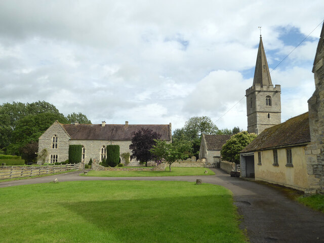
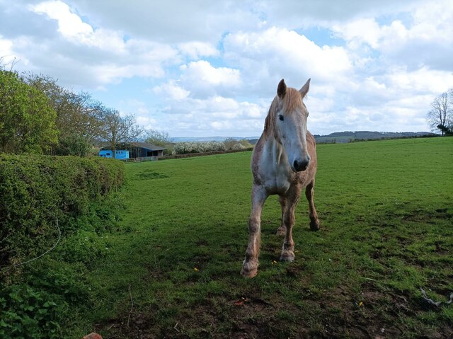
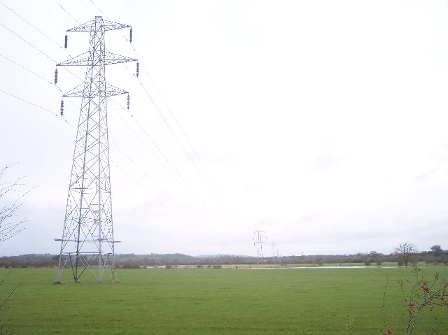
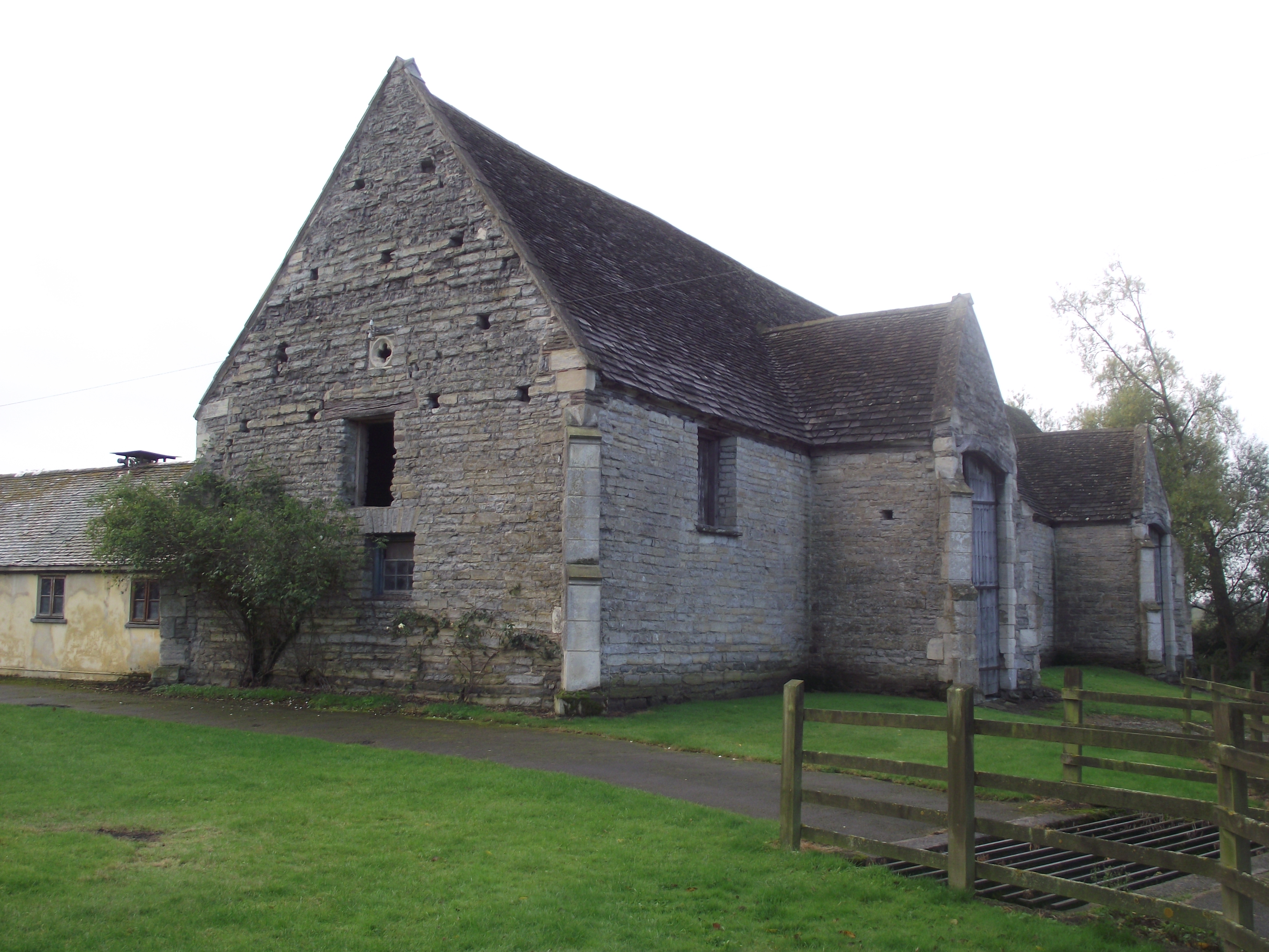
Barrow Hill Images

Images are sourced within 2km of 51.940312/-2.2614172 or Grid Reference SO8226. Thanks to Geograph Open Source API. All images are credited.

Ashleworth Tithe Barn A National Trust property near the River Severn in Gloucestershire.
Ashleworth Tithe Barn
A National Trust property near the River Severn in Gloucestershire.
The River Severn at Ashleworth Quay
Ashleworth Court and church The church is St Andrew and St Bartholomew. The wall on the extreme right is the end wall of the tithe barn owned by the National Trust.
Ashleworth Court and church
The church is St Andrew and St Bartholomew. The wall on the extreme right is the end wall of the tithe barn owned by the National Trust.
Former public house, Ashleworth This was the Boat Inn but I believe it is possibly closed for good. It was open in early 2020 but suffered flooding twice in four months and then the Pandemic hit. The landlord had said he would be not renewing his lease.
Former public house, Ashleworth
This was the Boat Inn but I believe it is possibly closed for good. It was open in early 2020 but suffered flooding twice in four months and then the Pandemic hit. The landlord had said he would be not renewing his lease.
Ashleworth Tithe Barn A National Trust property that appears to be freely accessible.
Ashleworth Tithe Barn
A National Trust property that appears to be freely accessible.
Ham Road near Ashleworth Dotted with several pollarded poplars.
Ham Road near Ashleworth
Dotted with several pollarded poplars.
Ham Road near Hasfield (1) Looking south.
Ham Road near Hasfield (1)
Looking south.
Country road, Hasfield Lined with pink horse chestnut trees as it heads west out of the village.
Country road, Hasfield
Lined with pink horse chestnut trees as it heads west out of the village.
Ham Road near Hasfield (2) Here lined with pollarded poplars (or possibly willows).
Ham Road near Hasfield (2)
Here lined with pollarded poplars (or possibly willows).
Stone Stile, Ashleworth Pedestrian entrance to the churchyard of the Church of St Andrew & St Bartholomew. Not a registered footpath. This view is to the church, the view pointing away from the church is <a href="https://www.geograph.org.uk/photo/7258795">SO8125 : Stone Stile, Ashleworth</a>
Stone Stile, Ashleworth
Pedestrian entrance to the churchyard of the Church of St Andrew & St Bartholomew. Not a registered footpath. This view is to the church, the view pointing away from the church is SO8125 : Stone Stile, Ashleworth
Stone Stile, Ashleworth Pedestrian entrance to the churchyard of the Church of St Andrew & St Bartholomew. Not a registered footpath. This view points away from the church, the view to the church is <a href="https://www.geograph.org.uk/photo/7258794">SO8125 : Stone Stile, Ashleworth</a>
Stone Stile, Ashleworth
Pedestrian entrance to the churchyard of the Church of St Andrew & St Bartholomew. Not a registered footpath. This view points away from the church, the view to the church is SO8125 : Stone Stile, Ashleworth
Rectory Farm
Rectory Farm
Ashleworth Ham Ashleworth Ham Nature Reserve (Gloucestershire Wildlife Trust), as seen from the hide in Meerend Thicket.
Ashleworth Ham
Ashleworth Ham Nature Reserve (Gloucestershire Wildlife Trust), as seen from the hide in Meerend Thicket.
Horse at Hasfield A curious horse coming to say hello in a field in Hasfield.
Horse at Hasfield
A curious horse coming to say hello in a field in Hasfield.
Great House Farm The entrance to Great House Farm in Hasfield.
Great House Farm
The entrance to Great House Farm in Hasfield.
Bridleway to Corse Wood near Stream Farm
Grass field and hedgerow with trees Near Corner House Farm.
Grass field and hedgerow with trees
Near Corner House Farm.
Corse Wood Hill Corse Wood just showing on the left.
Corse Wood Hill
Corse Wood just showing on the left.
Show me another place!

Barrow Hill is located at Grid Ref: SO8226 (Lat: 51.940312, Lng: -2.2614172)

Administrative County: Gloucestershire

District: Tewkesbury

Police Authority: Gloucestershire

What 3 Words

///bake.clinic.commenced. Near Corse, Gloucestershire

Nearby Locations

Barrow Hill

Related Wikis

Related Videos

Gone Walkabout - Walk 1,000 Miles - Day Thirty-Six - 642 Miles To Go - Tim Gets A Smile

Thirty-Sixth day of the Walk 1000 Miles 2021 Challenge. Today's walk started at the Ashleworth Ham Bird Sanctuary. An eventful ...

GCSEs geography rivers with Chris and Brian

2 explores take a thrilling expiation up the weak squirt.

Pick up from Corse Lawn Hotel, to Cheltenham Festival 2023!

Cheltenham Festival, pick up from a private site. #helicopter #helicoptervideo #jetengine.

Day 1 of the Cheltenham Festival complete

Last flight of the day returning back to Gloucester Airport having completed all our flying for the 1st day of the Cheltenham Festival ...

Nearby Amenities

Located within 500m of 51.940312,-2.2614172
Barrow Hill
Ele: 75
Natural: peak
Source: NPE
Lat/Long: 51.9403479/-2.2610147
Colways Farm
Landuse: farm
Note Retag: CS #48756035
Source: OS Opendata Streetview
Lat/Long: 51.9398733/-2.2546547
The data included in this document is from www.openstreetmap.org. The data is made available under ODbL.

Have you been to Barrow Hill?

Leave your review of Barrow Hill below (or comments, questions and feedback).