Summer Hill

Hill, Mountain in Worcestershire Wyre Forest

England

Summer Hill

Church of St John the Baptist at Wolverley, Worcestershire This telephoto assisted image was taken from the lockside beer "garden" of the Lock Inn. Looking across the canal to the north-west, the church is 275 metres distant.
Church of St John the Baptist at Wolverley, Worcestershire Credit: Roger D Kidd

Summer Hill is a prominent hill located in the county of Worcestershire, England. With an elevation of approximately 279 meters (915 feet), it is considered one of the highest points in the region. Situated in the Malvern Hills Area of Outstanding Natural Beauty, Summer Hill offers breathtaking panoramic views of the surrounding countryside.

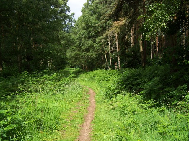
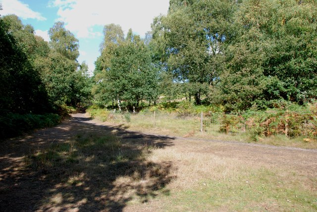
Covered in lush green vegetation, the hill is a haven for nature enthusiasts and hikers. Its terrain consists of gentle slopes, making it accessible to visitors of all fitness levels. The paths leading to the summit are well-maintained, ensuring a comfortable and safe ascent.

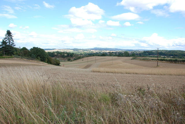
At the top of Summer Hill, visitors are greeted with a vast expanse of rolling hills, picturesque valleys, and charming villages. On a clear day, it is possible to see the nearby Malvern Hills, the Cotswolds, and even the Welsh mountains in the distance. The hill's strategic location also provides an ideal spot for watching sunsets, as the evening sky paints a stunning backdrop over the landscape.

Aside from its natural beauty, Summer Hill also holds historical significance. Evidence of Bronze Age settlements has been discovered in the vicinity, adding an archaeological touch to the area. The hill's proximity to the market town of Tenbury Wells makes it a popular destination for locals and tourists alike, who often combine a visit to Summer Hill with exploring the town's attractions.

Overall, Summer Hill in Worcestershire offers visitors a chance to immerse themselves in the tranquility of nature, admire breathtaking views, and connect with the rich history of the region.

If you have any feedback on the listing, please let us know in the comments section below.
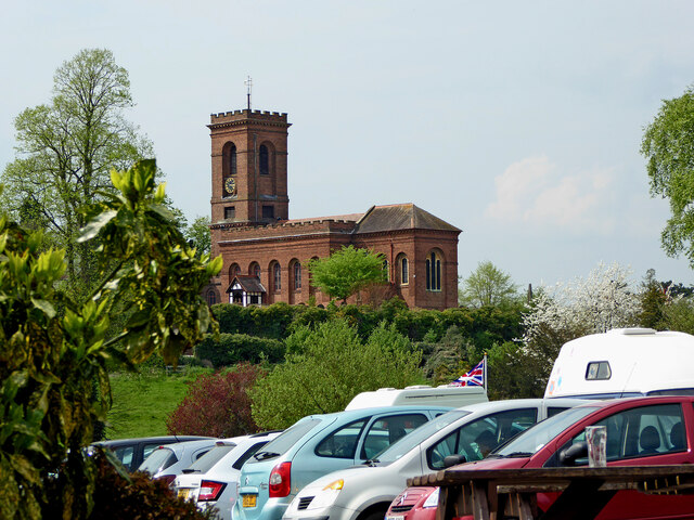
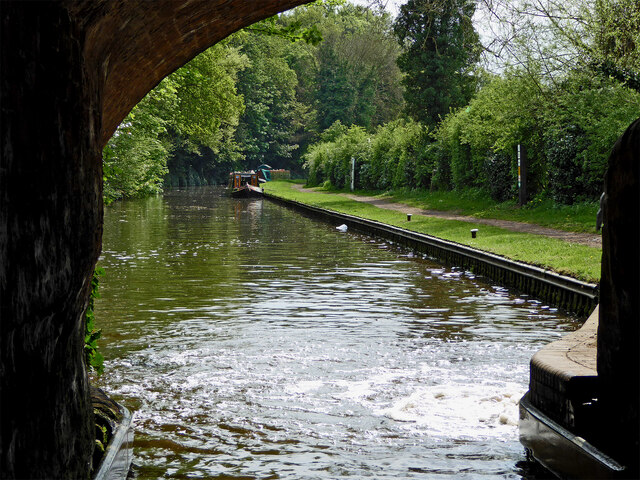
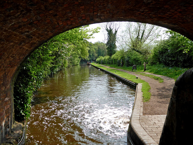
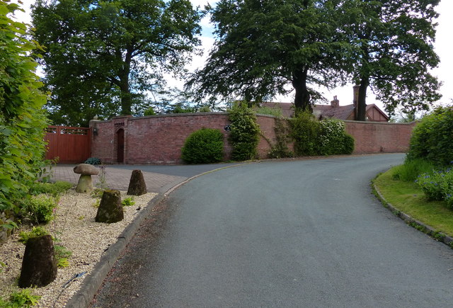
Summer Hill Images

Images are sourced within 2km of 52.417964/-2.2698817 or Grid Reference SO8180. Thanks to Geograph Open Source API. All images are credited.

Church of St John the Baptist at Wolverley, Worcestershire This telephoto assisted image was taken from the lockside beer "garden" of the Lock Inn. Looking across the canal to the north-west, the church is 275 metres distant.
Church of St John the Baptist at Wolverley, Worcestershire
This telephoto assisted image was taken from the lockside beer "garden" of the Lock Inn. Looking across the canal to the north-west, the church is 275 metres distant.
Canal below Wolverley Lock in Staffordshire Looking south towards Kidderminster from under Wolverley Bridge, No 20.
Canal below Wolverley Lock in Staffordshire
Looking south towards Kidderminster from under Wolverley Bridge, No 20.
Canal below Wolverley Lock in Staffordshire This is the Staffordshire and Worcestershire Canal, looking south towards Kidderminster from under Wolverley Bridge, No 20.
Canal below Wolverley Lock in Staffordshire
This is the Staffordshire and Worcestershire Canal, looking south towards Kidderminster from under Wolverley Bridge, No 20.
A442 at Upper Birch Farm
Lane to Birchwood Farm
Entrance to Lower Birch Farm
Lane passing Upper Birch Farm
Footpath In Kingsford Forest Park
Across Grassland to the Clent Hills
House in the Trees, Drakelow Lane
Entrance to Tunnels, Kinver Edge These tunnels were dug under Kinver Edge for 3 to 4 miles in length. <span class="nowrap"><a title="http://en.wikipedia.org/wiki/Drakelow_Tunnels" rel="nofollow ugc noopener" href="http://en.wikipedia.org/wiki/Drakelow_Tunnels">Link</a><img style="margin-left:2px;" alt="External link" title="External link - shift click to open in new window" src="https://s1.geograph.org.uk/img/external.png" width="10" height="10"/></span>
Entrance to Tunnels, Kinver Edge
These tunnels were dug under Kinver Edge for 3 to 4 miles in length. LinkExternal link
AirSoft in the Tunnels under Kinver Edge These tunnels were dug under Kinver Edge for 3 to 4 miles in length. <span class="nowrap"><a title="http://en.wikipedia.org/wiki/Drakelow_Tunnels" rel="nofollow ugc noopener" href="http://en.wikipedia.org/wiki/Drakelow_Tunnels">Link</a><img style="margin-left:2px;" alt="External link" title="External link - shift click to open in new window" src="https://s1.geograph.org.uk/img/external.png" width="10" height="10"/></span>
AirSoft in the Tunnels under Kinver Edge
These tunnels were dug under Kinver Edge for 3 to 4 miles in length. LinkExternal link
Typical View off Kingsford Lane
Bodenham Arboretum - view of lake Jan 2004
Bodenham Arboretum - view of lake
Jan 2004
Lush towpath vegetation on the Staffs and Worcs The tow ropes of the horse-drawn boats used to scythe the plants along the towpath, but almost all boats have engines now. Between bridges 21 and 22.
Lush towpath vegetation on the Staffs and Worcs
The tow ropes of the horse-drawn boats used to scythe the plants along the towpath, but almost all boats have engines now. Between bridges 21 and 22.
Entrance to Kingsford Caravan Park and Kingsford Public House near Drakelow The caravan park is one of many around here and has wooden chalets, as well as static caravans. Residents can only stay here for 11 months of the year as the site closes for one month each year. The site includes Kingsford Public House, which would appear to be a public house rather than a club, and therefore open to non-residents.
Entrance to Kingsford Caravan Park and Kingsford Public House near Drakelow
The caravan park is one of many around here and has wooden chalets, as well as static caravans. Residents can only stay here for 11 months of the year as the site closes for one month each year. The site includes Kingsford Public House, which would appear to be a public house rather than a club, and therefore open to non-residents.
Lane leading to Sladd Lane, near Drakelow In the distance the lane makes a junction with Sladd Lane, and with another very minor lane. Behind the camera position, the lane goes past the entrance to Kingsford Caravan Park and Kingsford Public House. There is also a minor road off, going to Bodenham Arboretum and Earth Centre.
Lane leading to Sladd Lane, near Drakelow
In the distance the lane makes a junction with Sladd Lane, and with another very minor lane. Behind the camera position, the lane goes past the entrance to Kingsford Caravan Park and Kingsford Public House. There is also a minor road off, going to Bodenham Arboretum and Earth Centre.
Start of the access road to Bodenham Arboretum, near Drakelow This private road goes for about 1km or so to the car park for the arboretum. The arboretum is well worth a visit at any time of year and there is a café there.
Start of the access road to Bodenham Arboretum, near Drakelow
This private road goes for about 1km or so to the car park for the arboretum. The arboretum is well worth a visit at any time of year and there is a café there.
Show me another place!

Summer Hill is located at Grid Ref: SO8180 (Lat: 52.417964, Lng: -2.2698817)

Administrative County: Worcestershire

District: Wyre Forest

Police Authority: West Mercia

What 3 Words

///ferrets.florists.healthier. Near Kidderminster, Worcestershire

Nearby Locations

Summer Hill Drakelow

Related Wikis

Drakelow, Worcestershire

Drakelow is a hamlet in Worcestershire, England. It is one of the ancient townships of the manor of Wolverley, whose extent was similar to that of the...

Drakelow Hillfort

Drakelow Hillfort, is a small multivallate Iron Age hillfort, located on a promontory (known as Drakelow Hill) at Drakelow at the southern end of Kinver...

Drakelow Tunnels

Drakelow Tunnels are a former underground military complex beneath the Blakeshall Estate north of Kidderminster, Worcestershire, covering 285,000 sq ft...

Wolverley Church of England Secondary School

Wolverley CofE Secondary School is located in the village of Wolverley, near Kidderminster in Worcestershire, England. The mixed gender school has approximately...

Nearby Amenities

Located within 500m of 52.417964,-2.2698817
Man Made: manhole
Manhole: water
Pipeline: inspection chamber
Lat/Long: 52.4147392/-2.266069
Drakelow
Place: locality
Source: OS_OpenData_StreetView
Lat/Long: 52.4200235/-2.2689772
Turning Circle
Lat/Long: 52.4158392/-2.2641401
The data included in this document is from www.openstreetmap.org. The data is made available under ODbL.

Have you been to Summer Hill?

Leave your review of Summer Hill below (or comments, questions and feedback).