Drakelow

Settlement in Worcestershire Wyre Forest

England

Drakelow

A442 at Upper Birch Farm
A442 at Upper Birch Farm Credit: Peter Whatley

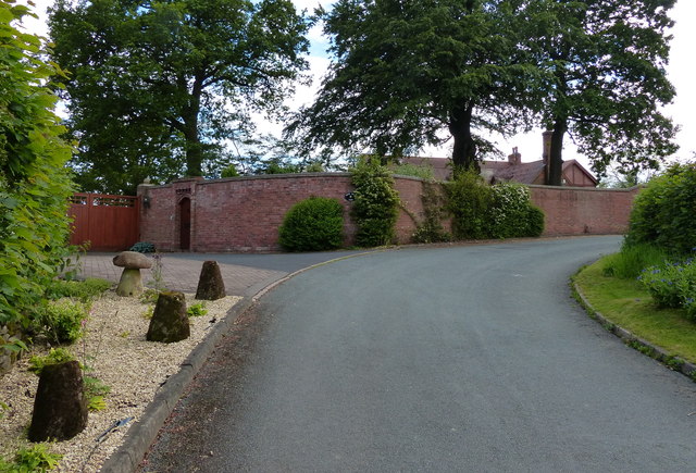
Drakelow is a small village located in the county of Worcestershire, England. Situated approximately 7 miles south of the city of Kidderminster, it lies on the eastern edge of the Wyre Forest. The village is part of the Wyre Forest District and has a population of around 500 residents.

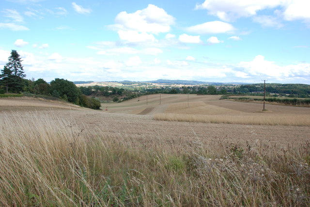
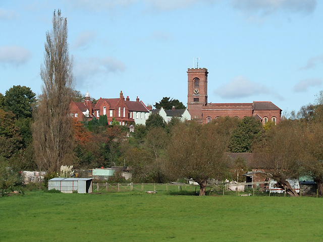
Historically, Drakelow was primarily an agricultural community, with farming playing a significant role in its economy. Today, it remains a rural village characterized by its picturesque countryside and charming, traditional architecture.

One notable feature of Drakelow is the Drakelow Tunnels, a large underground complex originally built during World War II. Spanning over 285,000 square feet, the tunnels were initially used as a munitions factory, providing essential supplies during the war effort. In subsequent years, the tunnels served various purposes, including as a regional government headquarters in case of nuclear war. Today, the Drakelow Tunnels are open to the public, offering guided tours that provide insight into their fascinating history.

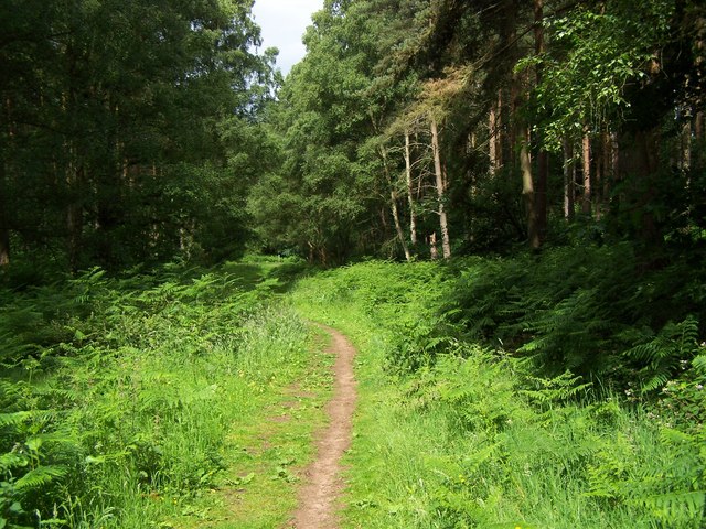
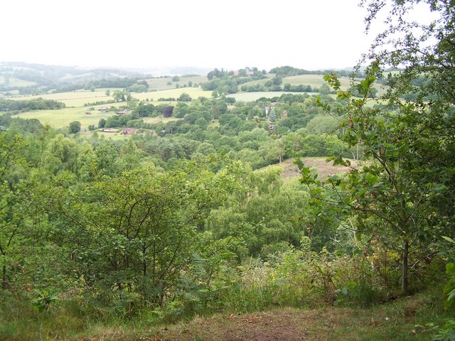
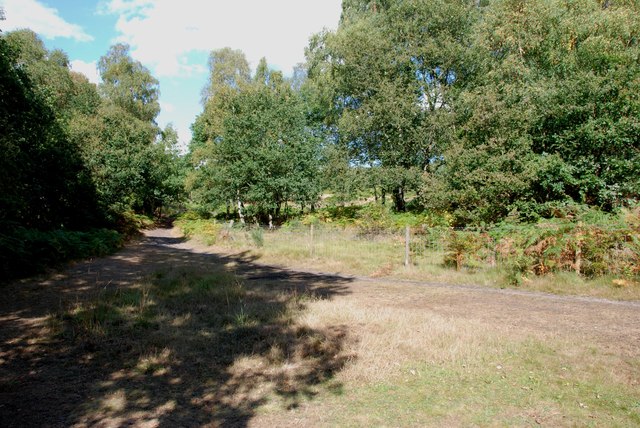
The village of Drakelow is also surrounded by natural beauty, with the nearby Wyre Forest offering ample opportunities for outdoor activities such as hiking, cycling, and wildlife spotting. The forest is home to a diverse range of flora and fauna, including ancient oak trees, rare butterflies, and numerous bird species.

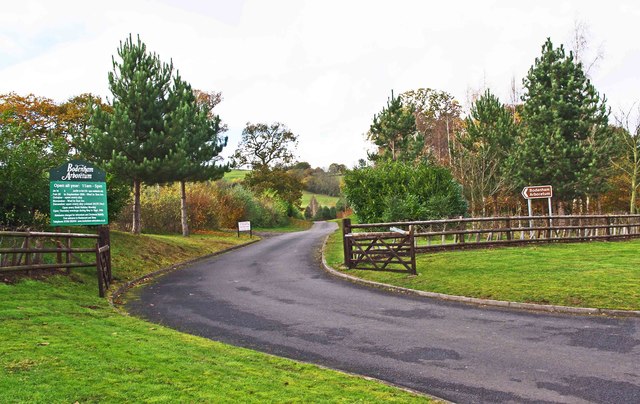
Although small, Drakelow boasts a close-knit community, with a village hall that hosts various social events and activities throughout the year. Additionally, the village is well-connected, with good road links to neighboring towns and cities, making it an attractive place to live for those seeking a rural lifestyle within reach of urban amenities.

If you have any feedback on the listing, please let us know in the comments section below.

Drakelow Images

Images are sourced within 2km of 52.421701/-2.269951 or Grid Reference SO8180. Thanks to Geograph Open Source API. All images are credited.

A442 at Upper Birch Farm
Lane to Birchwood Farm
Entrance to Lower Birch Farm
Lane passing Upper Birch Farm
Footpath In Kingsford Forest Park
View From Kingsford Forest Park
North Worcestershire Path Signpost
Across Grassland to the Clent Hills
House in the Trees, Drakelow Lane
Entrance to Tunnels, Kinver Edge These tunnels were dug under Kinver Edge for 3 to 4 miles in length. <span class="nowrap"><a title="http://en.wikipedia.org/wiki/Drakelow_Tunnels" rel="nofollow ugc noopener" href="http://en.wikipedia.org/wiki/Drakelow_Tunnels">Link</a><img style="margin-left:2px;" alt="External link" title="External link - shift click to open in new window" src="https://s1.geograph.org.uk/img/external.png" width="10" height="10"/></span>
Entrance to Tunnels, Kinver Edge
These tunnels were dug under Kinver Edge for 3 to 4 miles in length. LinkExternal link
AirSoft in the Tunnels under Kinver Edge These tunnels were dug under Kinver Edge for 3 to 4 miles in length. <span class="nowrap"><a title="http://en.wikipedia.org/wiki/Drakelow_Tunnels" rel="nofollow ugc noopener" href="http://en.wikipedia.org/wiki/Drakelow_Tunnels">Link</a><img style="margin-left:2px;" alt="External link" title="External link - shift click to open in new window" src="https://s1.geograph.org.uk/img/external.png" width="10" height="10"/></span>
AirSoft in the Tunnels under Kinver Edge
These tunnels were dug under Kinver Edge for 3 to 4 miles in length. LinkExternal link
Typical View off Kingsford Lane
Bodenham Arboretum - view of lake Jan 2004
Bodenham Arboretum - view of lake
Jan 2004
Lush towpath vegetation on the Staffs and Worcs The tow ropes of the horse-drawn boats used to scythe the plants along the towpath, but almost all boats have engines now. Between bridges 21 and 22.
Lush towpath vegetation on the Staffs and Worcs
The tow ropes of the horse-drawn boats used to scythe the plants along the towpath, but almost all boats have engines now. Between bridges 21 and 22.
Entrance to Kingsford Caravan Park and Kingsford Public House near Drakelow The caravan park is one of many around here and has wooden chalets, as well as static caravans. Residents can only stay here for 11 months of the year as the site closes for one month each year. The site includes Kingsford Public House, which would appear to be a public house rather than a club, and therefore open to non-residents.
Entrance to Kingsford Caravan Park and Kingsford Public House near Drakelow
The caravan park is one of many around here and has wooden chalets, as well as static caravans. Residents can only stay here for 11 months of the year as the site closes for one month each year. The site includes Kingsford Public House, which would appear to be a public house rather than a club, and therefore open to non-residents.
Lane leading to Sladd Lane, near Drakelow In the distance the lane makes a junction with Sladd Lane, and with another very minor lane. Behind the camera position, the lane goes past the entrance to Kingsford Caravan Park and Kingsford Public House. There is also a minor road off, going to Bodenham Arboretum and Earth Centre.
Lane leading to Sladd Lane, near Drakelow
In the distance the lane makes a junction with Sladd Lane, and with another very minor lane. Behind the camera position, the lane goes past the entrance to Kingsford Caravan Park and Kingsford Public House. There is also a minor road off, going to Bodenham Arboretum and Earth Centre.
Start of the access road to Bodenham Arboretum, near Drakelow This private road goes for about 1km or so to the car park for the arboretum. The arboretum is well worth a visit at any time of year and there is a café there.
Start of the access road to Bodenham Arboretum, near Drakelow
This private road goes for about 1km or so to the car park for the arboretum. The arboretum is well worth a visit at any time of year and there is a café there.
Sladd Lane at The Sladd
Show me another place!

Drakelow is located at Grid Ref: SO8180 (Lat: 52.421701, Lng: -2.269951)

Administrative County: Worcestershire

District: Wyre Forest

Police Authority: West Mercia

What 3 Words

///syndicate.defend.pedicure. Near Kinvere, Staffordshire

Nearby Locations

Drakelow Summer Hill

Related Wikis

Drakelow Hillfort

Drakelow Hillfort, is a small multivallate Iron Age hillfort, located on a promontory (known as Drakelow Hill) at Drakelow at the southern end of Kinver...

Drakelow Tunnels

Drakelow Tunnels are a former underground military complex beneath the Blakeshall Estate north of Kidderminster, Worcestershire, covering 285,000 sq ft...

Drakelow, Worcestershire

Drakelow is a hamlet in Worcestershire, England. It is one of the ancient townships of the manor of Wolverley, whose extent was similar to that of the...

Wolverley Church of England Secondary School

Wolverley CofE Secondary School is located in the village of Wolverley, near Kidderminster in Worcestershire, England. The mixed gender school has approximately...

Kingsford, Worcestershire

Kingsford is a large hamlet in Worcestershire, England. == Location == Kingsford is located one mile (1.6 km) north of the village of Wolverley, Worcestershire...

Blakeshall

Blakeshall is a hamlet in Worcestershire, England. It is one of the ancient townships of the manor of Wolverley, whose extent was similar to that of the...

Castle Hill, Wolverley

Castle Hill or Baron Hill is about a mile from the hamlet of Kingsford in the civil parish of Wolverley and Cookley, Worcestershire. In 1912 the site consisted...

Wolverley

Wolverley is a village; with nearby Cookley (1 mi northeast), it forms a civil parish in the Wyre Forest District of Worcestershire, England. It is 2 miles...

Nearby Amenities

Located within 500m of 52.421701,-2.269951
Caravan Park
Naptan AtcoCode: 2000G104300
Naptan Bearing: SW
Naptan BusStopType: CUS
Naptan CommonName: Caravan Park
Naptan Indicator: Opp
Naptan Landmark: Kingsford Caravan Park
Naptan NaptanCode: wocgdawm
Naptan Street: Sladd Lane
Naptan Verified: no
Source: naptan_import
Lat/Long: 52.4232242/-2.2737743
Caravan Park
Naptan AtcoCode: 2000G107700
Naptan Bearing: NE
Naptan BusStopType: CUS
Naptan CommonName: Caravan Park
Naptan Indicator: Adj
Naptan Landmark: Kingsford Caravan Park
Naptan NaptanCode: wocdgjdp
Naptan Street: Sladd Lane
Naptan Verified: no
Source: naptan_import
Lat/Long: 52.4231601/-2.2742886
Barrier: kissing_gate
Lat/Long: 52.4239023/-2.2662606
Fixme: incomplete
Lat/Long: 52.4231636/-2.2739316
Drakelow
Place: locality
Source: OS_OpenData_StreetView
Lat/Long: 52.4200235/-2.2689772
The data included in this document is from www.openstreetmap.org. The data is made available under ODbL.

Have you been to Drakelow?

Leave your review of Drakelow below (or comments, questions and feedback).