Knox Hill
Hill, Mountain in Kincardineshire
Scotland
Knox Hill
Knox Hill, located in Kincardineshire, Scotland, is a prominent hill that stands proudly in the landscape of the area. Rising to an elevation of approximately 258 meters (846 feet), it offers breathtaking views of the surrounding countryside and beyond.
The hill is characterized by its distinctive conical shape, with a gentle slope leading up to its summit. Covered in lush greenery and dotted with scattered trees, Knox Hill is a picturesque sight, especially during the spring and summer months when wildflowers bloom, adding bursts of vibrant colors to the landscape.
The hill is popular among hikers, nature enthusiasts, and photographers. Several well-maintained trails and paths lead visitors to the summit, providing a moderate level of challenge for those seeking an active outdoor experience. As one ascends, the panoramic views become more captivating, showcasing the rolling hills, meandering rivers, and distant mountain ranges that make up the region's natural beauty.
Knox Hill also holds historical significance, with remnants of ancient settlements and burial sites found in its vicinity. These archaeological findings give insight into the rich history of the area and the people who once inhabited it.
For those looking to explore further, Knox Hill is conveniently located near other notable attractions in Kincardineshire, such as Dunnottar Castle and the picturesque coastal town of Stonehaven. The hill's accessibility and its blend of natural and historical elements make it a must-visit destination for anyone venturing into the region.
If you have any feedback on the listing, please let us know in the comments section below.
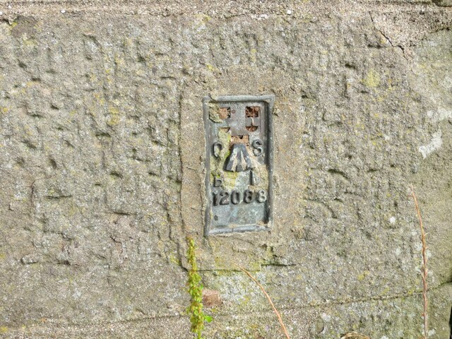
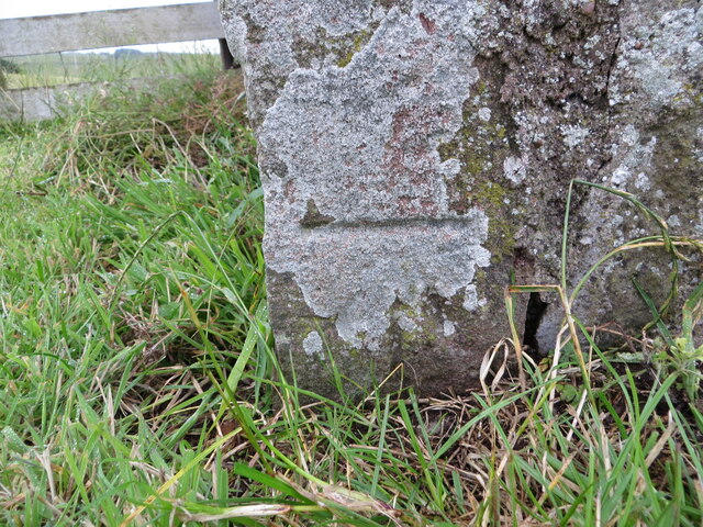
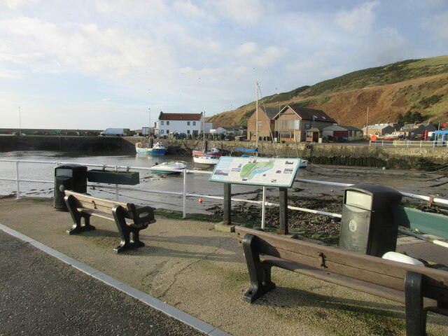
Knox Hill Images
Images are sourced within 2km of 56.835932/-2.3097979 or Grid Reference NO8171. Thanks to Geograph Open Source API. All images are credited.


Knox Hill is located at Grid Ref: NO8171 (Lat: 56.835932, Lng: -2.3097979)
Unitary Authority: Aberdeenshire
Police Authority: North East
What 3 Words
///boarding.tunes.offstage. Near Inverbervie, Aberdeenshire
Nearby Locations
Related Wikis
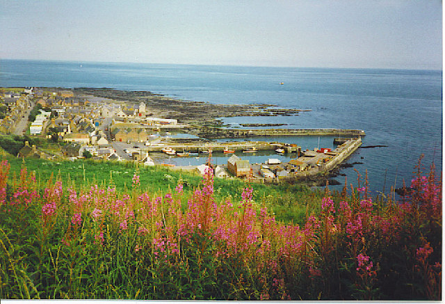
Gourdon, Aberdeenshire
Gourdon () nicknamed Gurdin by the population, is a coastal fishing village in Aberdeenshire, Scotland, south of Inverbervie and north of Johnshaven, with...

Gourdon railway station (NBR)
Gourdon railway station served the village of Gourdon, Aberdeenshire, Scotland from 1865 to 1951 on the Montrose and Bervie Railway. == History == The...

Inverbervie
Inverbervie (from Scottish Gaelic: Inbhir Biorbhaidh or Biorbhaigh, "mouth of the River Bervie") is a small town on the north-east coast of Scotland, south...

Inverbervie Town House
Inverbervie Town House is a municipal structure in Church Street in Inverbervie, Aberdeenshire, Scotland. The structure, which is primarily used as a public...
Nearby Amenities
Located within 500m of 56.835932,-2.3097979Have you been to Knox Hill?
Leave your review of Knox Hill below (or comments, questions and feedback).