Dendoldrum Hill
Hill, Mountain in Kincardineshire
Scotland
Dendoldrum Hill
Dendoldrum Hill, situated in Kincardineshire, Scotland, is a prominent hill/mountain that offers breathtaking scenic views and recreational opportunities for outdoor enthusiasts. Standing at an elevation of approximately 427 meters (1,400 feet), it is a popular destination for hikers, walkers, and nature lovers.
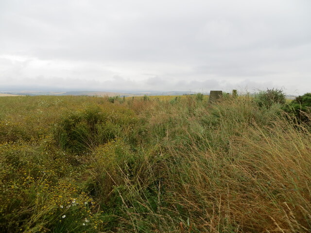
The hill is characterized by its distinctive rounded shape and is covered with a variety of vegetation, including heather, grasses, and scattered trees. Its slopes are relatively gentle, making it accessible to people of various fitness levels. Dendoldrum Hill is part of the Mounth range, which is known for its picturesque landscapes and rich biodiversity.
From the summit of Dendoldrum Hill, visitors are rewarded with stunning panoramic views of the surrounding countryside, including the nearby towns of Laurencekirk and Stonehaven. On clear days, it is even possible to see the North Sea in the distance. The hill provides an ideal vantage point for photographers and nature enthusiasts to capture the beauty of the Scottish landscape.
The area surrounding the hill is also home to various species of wildlife, such as red deer, birds of prey, and small mammals. It is not uncommon to spot these creatures during a hike or walk in the area.
Access to Dendoldrum Hill is relatively straightforward, with several well-marked trails leading to the summit. Visitors are advised to come prepared with appropriate footwear, clothing, and provisions, as weather conditions in the region can be changeable.
In summary, Dendoldrum Hill in Kincardineshire offers a picturesque and accessible hill/mountain experience, with stunning views and opportunities for outdoor activities, making it a must-visit destination for nature enthusiasts and hikers in the region.
If you have any feedback on the listing, please let us know in the comments section below.
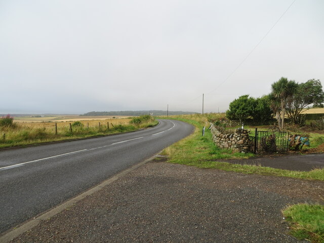
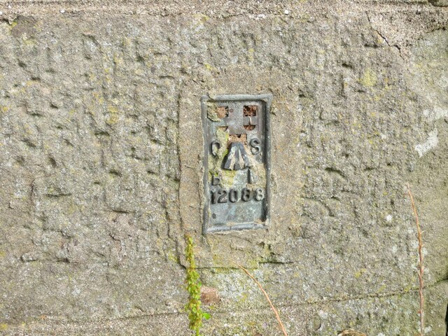
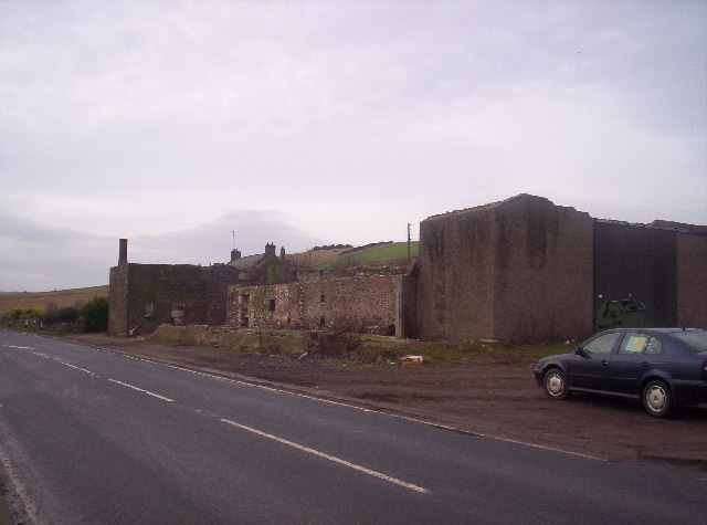
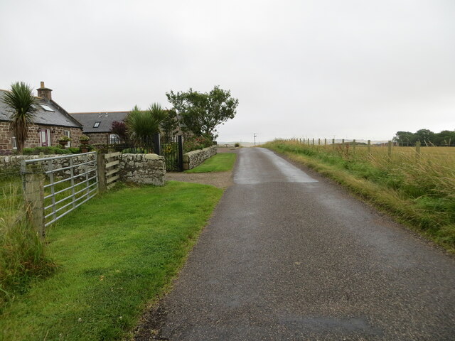
Dendoldrum Hill Images
Images are sourced within 2km of 56.837747/-2.3098785 or Grid Reference NO8171. Thanks to Geograph Open Source API. All images are credited.


Dendoldrum Hill is located at Grid Ref: NO8171 (Lat: 56.837747, Lng: -2.3098785)
Unitary Authority: Aberdeenshire
Police Authority: North East
What 3 Words
///icon.surpasses.hound. Near Inverbervie, Aberdeenshire
Nearby Locations
Related Wikis
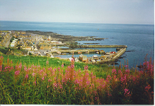
Gourdon, Aberdeenshire
Gourdon () nicknamed Gurdin by the population, is a coastal fishing village in Aberdeenshire, Scotland, south of Inverbervie and north of Johnshaven, with...

Inverbervie
Inverbervie (from Scottish Gaelic: Inbhir Biorbhaidh or Biorbhaigh, "mouth of the River Bervie") is a small town on the north-east coast of Scotland, south...

Gourdon railway station (NBR)
Gourdon railway station served the village of Gourdon, Aberdeenshire, Scotland from 1865 to 1951 on the Montrose and Bervie Railway. == History == The...

Inverbervie Town House
Inverbervie Town House is a municipal structure in Church Street in Inverbervie, Aberdeenshire, Scotland. The structure, which is primarily used as a public...

Allardice Castle
Allardice Castle (also spelled Allardyce) is a sixteenth-century manor house in Kincardineshire, Scotland. It is approximately 1.5 kilometres north-west...

Inverbervie railway station
Bervie railway station served the town of Inverbervie, Aberdeenshire, Scotland from 1865 to 1966 on the Montrose and Bervie Railway. == History == The...

Bervie Water
Bervie Water (Scottish Gaelic: Uisge Bhiorbhaigh) is a river in Aberdeenshire, Scotland which rises in the Drumtochty Forest and flows across The Mearns...

Benholm
Benholm is a small settlement in Aberdeenshire, Scotland, UK. It is now a conservation area and is home to Benholm Mill.The A92 passes the eastern edge...
Nearby Amenities
Located within 500m of 56.837747,-2.3098785Have you been to Dendoldrum Hill?
Leave your review of Dendoldrum Hill below (or comments, questions and feedback).