Bawdy Craig
Hill, Mountain in Kincardineshire
Scotland
Bawdy Craig
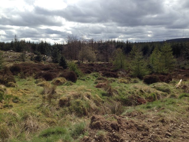
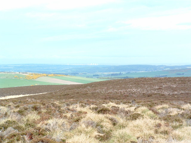
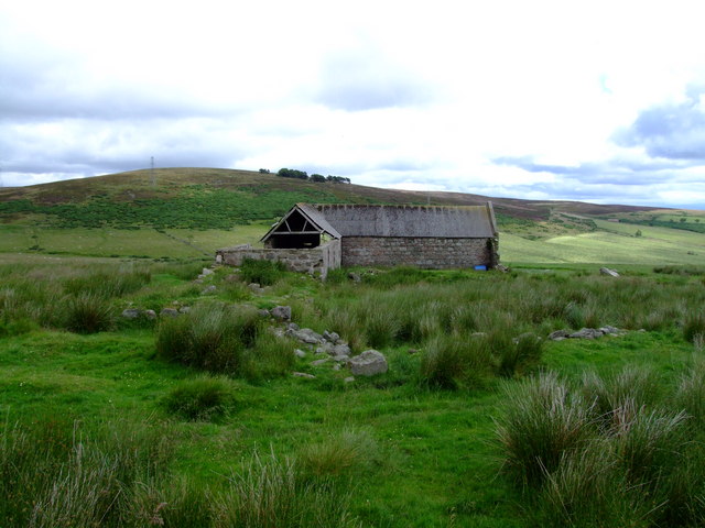
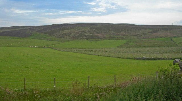
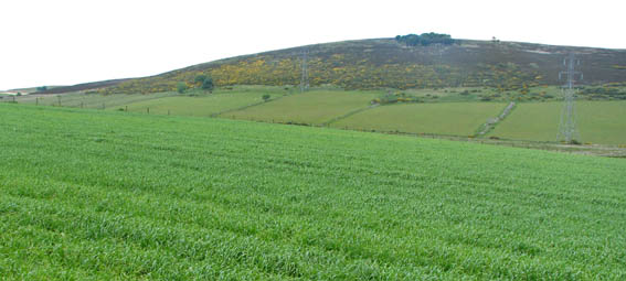
Bawdy Craig is a prominent hill located in the region of Kincardineshire, Scotland. Situated near the coastal town of Stonehaven, it offers breathtaking views of the North Sea and the surrounding countryside. Standing at an elevation of approximately 160 meters (525 feet), Bawdy Craig is a popular destination for outdoor enthusiasts and nature lovers.
The hill is characterized by its rugged terrain and rocky cliffs, which add to its charm and allure. Its name, "Bawdy Craig," is believed to be derived from the Scots word "bawdy," meaning bold or daring, and "craig," which refers to a rocky outcrop. This name perfectly encapsulates the hill's bold and striking nature.
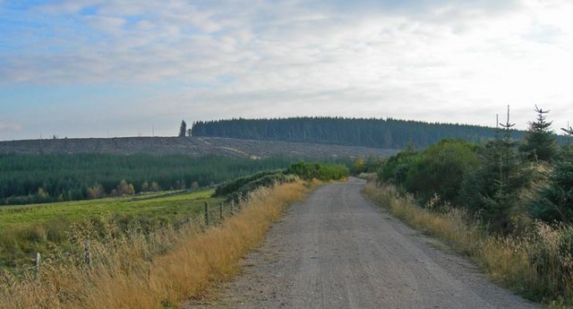
Bawdy Craig is a haven for hikers, as it offers various trails and paths that cater to different skill levels. The ascent to the summit can be challenging, but the reward is well worth the effort, as visitors are greeted with panoramic views of the coastline, the picturesque town of Stonehaven, and the rolling hills of Kincardineshire.
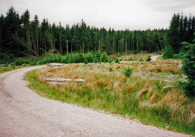
Moreover, Bawdy Craig is known for its diverse wildlife, including various bird species that nest along the cliffs. Peregrine falcons, fulmars, and kittiwakes are among the birds commonly spotted in the area. The hill is also home to a variety of plant species, adding to its ecological significance.
Overall, Bawdy Craig is a captivating natural landmark, offering stunning vistas, challenging hikes, and abundant wildlife. Its unique blend of natural beauty and geological features make it a must-visit destination for those exploring the Kincardineshire region.
If you have any feedback on the listing, please let us know in the comments section below.
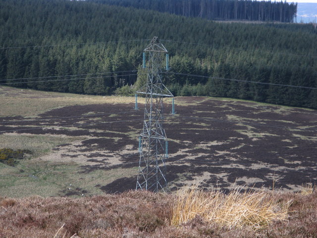
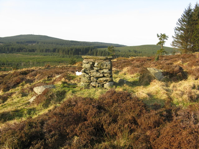
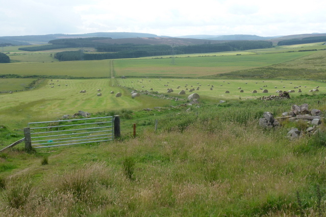
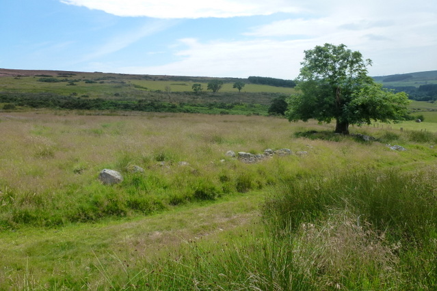
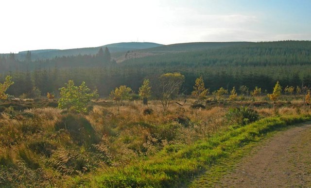
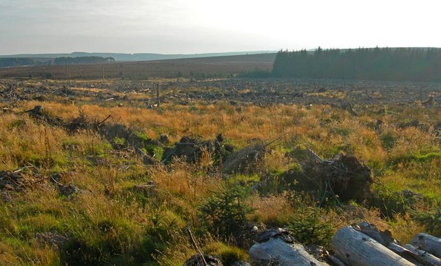
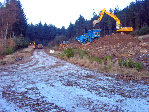
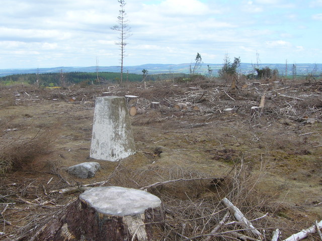
Bawdy Craig Images
Images are sourced within 2km of 57.021206/-2.3132325 or Grid Reference NO8192. Thanks to Geograph Open Source API. All images are credited.
Bawdy Craig is located at Grid Ref: NO8192 (Lat: 57.021206, Lng: -2.3132325)
Unitary Authority: Aberdeenshire
Police Authority: North East
What 3 Words
///functions.central.publisher. Near Stonehaven, Aberdeenshire
Nearby Locations
Related Wikis

Kincardine and Mearns
Kincardine and Mearns is one of six area committees of the Aberdeenshire council area in Scotland. It has a population of 38,506 (2001 Census). There...

Meikle Carewe Hill
Meikle Carewe Hill is a landform in Aberdeenshire, Scotland within the Mounth Range of the Grampian Mountains. (Grid Reference NO 921 828) The peak elevation...

Borrowfield
Borrowfield is a settlement in Aberdeenshire, Scotland in proximity to Netherley. == History == Roman legions marched from Raedykes to Normandykes Roman...
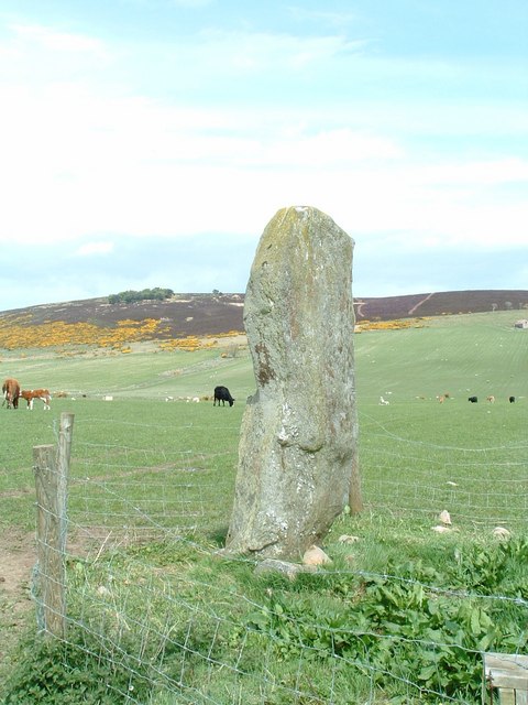
Lang Stane of Auquhollie
The Lang Stane of Auquhollie is an Ogam-inscribed standing stone some 6 kilometres north-west of Stonehaven in Scotland. Situated on south side of Meikle...
Nearby Amenities
Located within 500m of 57.021206,-2.3132325Have you been to Bawdy Craig?
Leave your review of Bawdy Craig below (or comments, questions and feedback).