Atchen Hill

Hill, Mountain in Worcestershire Malvern Hills

England

Atchen Hill

Entrance to Little Lightwood Farm from Lightwood Road
Entrance to Little Lightwood Farm from Lightwood Road Credit: peter robinson

Atchen Hill is a prominent geographical feature located in Worcestershire, England. Rising to an impressive elevation of 259 meters (850 feet), it is classified as a hill rather than a mountain. Situated near the village of Clows Top, Atchen Hill offers breathtaking panoramic views of the surrounding countryside.

This hill is part of the Malvern Hills Area of Outstanding Natural Beauty, renowned for its picturesque landscapes and diverse flora and fauna. Atchen Hill is predominantly covered in lush green grass and is dotted with scattered trees, providing a serene and peaceful environment for visitors to explore.

The hill is easily accessible, with a network of footpaths and trails that wind their way to the summit. Hiking enthusiasts and nature lovers are drawn to Atchen Hill, as it offers various routes of varying difficulty levels, making it suitable for all ages and abilities.

At the summit, visitors are rewarded with breathtaking vistas that stretch as far as the eye can see. On clear days, it is possible to spot the majestic Malvern Hills to the south and the Cotswold Hills to the east. The hill also boasts a rich history, with evidence of Iron Age settlements and ancient burial mounds, adding an archaeological appeal to the area.

The tranquil atmosphere of Atchen Hill, coupled with its natural beauty and accessibility, make it a popular destination for outdoor enthusiasts, photographers, and those seeking a peaceful retreat in the heart of Worcestershire.

If you have any feedback on the listing, please let us know in the comments section below.
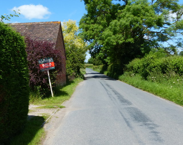
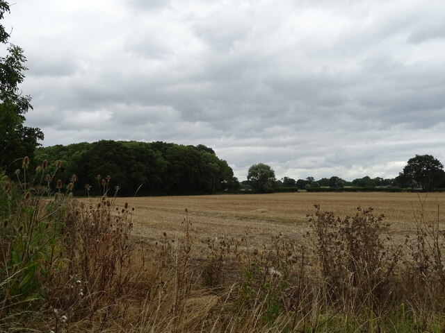
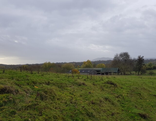
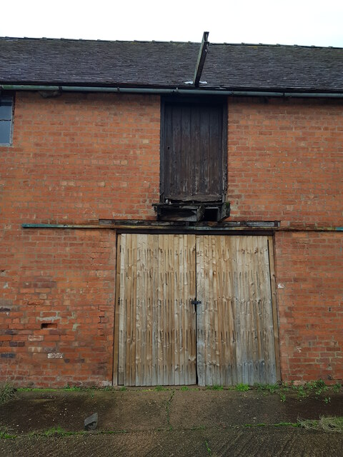
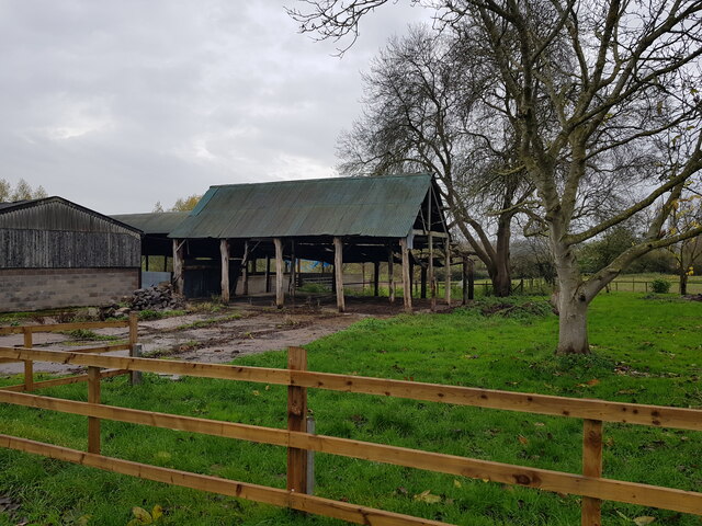
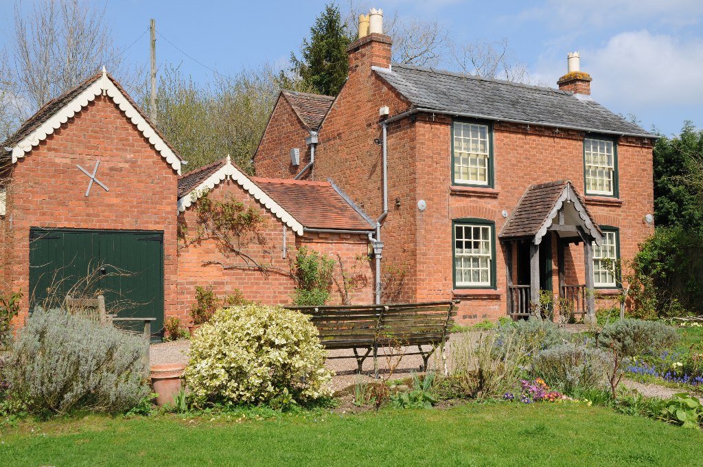
Atchen Hill Images

Images are sourced within 2km of 52.197951/-2.279475 or Grid Reference SO8055. Thanks to Geograph Open Source API. All images are credited.

Entrance to Little Lightwood Farm from Lightwood Road
Post box and steps to rural telephone exchange Cotheridge
Sign along the A44 at Cotheridge
Postbox along the A44 at Cotheridge
Lightwood Lane near Cotheridge
Heading south along Lightwood Lane The Malvern Hills are 9.5 kilometres away.
Heading south along Lightwood Lane
The Malvern Hills are 9.5 kilometres away.
Middle Lightwood Farm along Lightwood Lane
Fields south of Ankerdine Road The Malvern Hills are 10 kilometres away.
Fields south of Ankerdine Road
The Malvern Hills are 10 kilometres away.
Stubble field and woodland near Cotheridge
A44 towards Worcester
Telephone exchange near Cotheridge
Field off the A44 near Cotheridge
A44 towards Worcester
Elizabeth II postbox on the A44, Cotheridge Postbox No. WR6 390.

See <a href="https://www.geograph.org.uk/photo/6945420">SO7954 : A44, Cotheridge</a> for context.
Elizabeth II postbox on the A44, Cotheridge
Postbox No. WR6 390. See SO7954 : A44, Cotheridge for context.
A44, Cotheridge Towards Worcester.
Showing position of Postbox No. WR6 390.

See <a href="https://www.geograph.org.uk/photo/6945417">SO7954 : Elizabeth II postbox on the A44, Cotheridge</a> for postbox.
A44, Cotheridge
Towards Worcester. Showing position of Postbox No. WR6 390. See SO7954 : Elizabeth II postbox on the A44, Cotheridge for postbox.
Barns at Lower Howsen, with Malvern North Hill behind
Barn doors, Lower Howsen
Barns at Lower Howsen
Show me another place!

Atchen Hill is located at Grid Ref: SO8055 (Lat: 52.197951, Lng: -2.279475)

Administrative County: Worcestershire

District: Malvern Hills

Police Authority: West Mercia

What 3 Words

///divorcing.design.price. Near Lower Broadheath, Worcestershire

Related Wikis

Elgar Birthplace Museum

The Firs in Lower Broadheath, Worcestershire, England was the birthplace of Edward Elgar. The cottage now houses a museum administered by the National...

Upper Broadheath

Upper Broadheath is an area in the village of Lower Broadheath. It is not a separate village. Worcestershire, England. It is in the Malvern Hills District...

Lower Broadheath

Lower Broadheath is a village and civil parish in the Malvern Hills district of Worcestershire, England. According to the 2011 census it had a population...

A44 road

The A44 is a major road in the United Kingdom that runs from Oxford in southern England to Aberystwyth in west Wales. == History == The original (1923...

Dines Green

Dines Green is a suburb of Worcester in England, and lies in the St. John ward in the west of the city . Initially developed as council housing, the estate...

Rushwick Halt railway station

Rushwick Halt railway station was a station in Rushwick, Worcestershire, England. The station was opened on 31 March 1924 and closed on 5 April 1965....

Sentinel Valve Works

The Sentinel Valve Works Ltd was a British company based in Worcester, England, that made medium, large and enormous valves initially for civic clean water...

Boughton Halt railway station

Boughton Halt railway station was a station in St Johns, Worcester, Worcestershire, England. The station was opened on 31 March 1924 and closed on 5 April...

Nearby Amenities

Located within 500m of 52.197951,-2.279475
Bus Stop
Elgar's Birthplace
Bus: yes
Naptan AtcoCode: 2000G051100
Naptan Bearing: SE
Naptan CommonName: Elgar's Birthplace
Naptan Indicator: adjj
Naptan Landmark: Elgar's Birthplace
Naptan NaptanCode: wocgjtja
Naptan Street: Crown East Lane
Naptan Verified: no
Public Transport: platform
Source: naptan_import
Lat/Long: 52.1965283/-2.2816259
Elgar's Birthplace
Naptan AtcoCode: 2000G502058
Naptan Bearing: NW
Naptan BusStopType: CUS
Naptan CommonName: Elgar's Birthplace
Naptan Indicator: opp
Naptan Landmark: Elgar's Birthplace
Naptan NaptanCode: wocdjtwp
Naptan Street: Crown East Lane
Naptan Verified: no
Source: naptan_import
Lat/Long: 52.1965007/-2.2818745
Bus Stop
The Plough
Bus: yes
Naptan AtcoCode: 2000G652004
Naptan Bearing: NW
Naptan CommonName: The Plough
Naptan Indicator: opp
Naptan Landmark: The Plough Inn
Naptan NaptanCode: wocdptjw
Naptan Street: Crown East Lane
Naptan Verified: no
Public Transport: platform
Source: naptan_import
Lat/Long: 52.1991843/-2.2837789
The Plough
Disused Pub: yes
Lat/Long: 52.1992333/-2.2836452
Upper Broadheath
Place: hamlet
Wikidata: Q7898515
Lat/Long: 52.200695/-2.2850403
Barrier: stile
Lat/Long: 52.1992064/-2.2733674
Barrier: stile
Foot: yes
Lat/Long: 52.2011058/-2.2751934
Barrier: stile
Lat/Long: 52.1954106/-2.2787846
Barrier: stile
Lat/Long: 52.1952946/-2.2777477
Bicycle Parking
Lat/Long: 52.1991041/-2.2828699
Power: pole
Lat/Long: 52.2019324/-2.2786009
Power: pole
Lat/Long: 52.2011203/-2.2784776
Power: pole
Lat/Long: 52.2014285/-2.2794284
Power: pole
Lat/Long: 52.2022053/-2.2818169
Power: pole
Lat/Long: 52.2017738/-2.2804423
Power: pole
Lat/Long: 52.2011877/-2.2817203
Power: pole
Lat/Long: 52.2010965/-2.2834705
Power: pole
Lat/Long: 52.2005412/-2.2831433
Location Transition: yes
Power: pole
Lat/Long: 52.2001816/-2.2839157
Upper Broadheath
Location Transition: yes
Power: pole
Transformer: distribution
Voltage Primary: 11000
Lat/Long: 52.2000394/-2.28465
Location Transition: yes
Power: pole
Lat/Long: 52.1993296/-2.2853179
Power: pole
Lat/Long: 52.1943264/-2.2776796
Power: pole
Lat/Long: 52.1952726/-2.2777614
Atchen Hill
Power: pole
Transformer: distribution
Voltage Primary: 11000
Lat/Long: 52.1957831/-2.2808567
Crown East Lane
Power: pole
Transformer: distribution
Voltage Primary: 11000
Lat/Long: 52.1959417/-2.2801365
Power: pole
Lat/Long: 52.1962278/-2.278896
Power: pole
Lat/Long: 52.1964308/-2.2780176
Power: pole
Lat/Long: 52.1977362/-2.2783569
Power: pole
Lat/Long: 52.1982121/-2.2784668
Elgar Centre
Location Transition: yes
Power: pole
Transformer: distribution
Voltage Primary: 11000
Lat/Long: 52.1988439/-2.2821012
Oldbury Farm
Power: pole
Transformer: distribution
Voltage Primary: 11000
Lat/Long: 52.1992425/-2.2733344
Power: pole
Lat/Long: 52.1993728/-2.2745005
Power: pole
Lat/Long: 52.1994998/-2.2756331
Power: pole
Lat/Long: 52.1996391/-2.2767891
Power: pole
Lat/Long: 52.1992799/-2.2777466
Power: pole
Lat/Long: 52.200083/-2.2785573
Location Transition: yes
Power: pole
Lat/Long: 52.1989639/-2.2786338
The data included in this document is from www.openstreetmap.org. The data is made available under ODbL.

Have you been to Atchen Hill?

Leave your review of Atchen Hill below (or comments, questions and feedback).