Barepot
Settlement in Cumberland Allerdale
England
Barepot

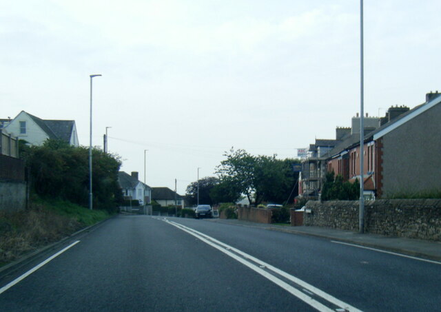
Barepot is a small village located in the county of Cumberland, in northwest England. Situated on the western coast of the county, it lies within the borough of Copeland, near the town of Whitehaven. The village is nestled between the Irish Sea to the west and the picturesque Lake District National Park to the east.
Barepot is known for its stunning natural beauty and coastal charm, attracting visitors from near and far. The village offers breathtaking views of the sea, with its rocky shoreline and sandy beaches. It is a popular spot for outdoor enthusiasts, who can enjoy activities such as coastal walks, birdwatching, and fishing.
The village itself is primarily residential, with a small population of locals who enjoy a close-knit community atmosphere. It boasts a few amenities, including a local pub and a village hall. The nearby town of Whitehaven provides additional amenities and services for residents and visitors.
Historically, Barepot played a significant role in the shipping industry, with a small harbor that facilitated trade and transport. Today, remnants of its maritime heritage can still be seen, adding to its charm and character.
Barepot's proximity to the Lake District National Park makes it an ideal base for exploring the region's stunning landscapes, including the nearby Ennerdale Water and Wasdale Head. It is also conveniently located for access to the bustling town of Whitehaven, which offers a range of cultural, dining, and shopping experiences. Overall, Barepot offers a peaceful and idyllic coastal retreat with easy access to both natural and urban attractions.
If you have any feedback on the listing, please let us know in the comments section below.
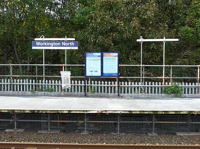
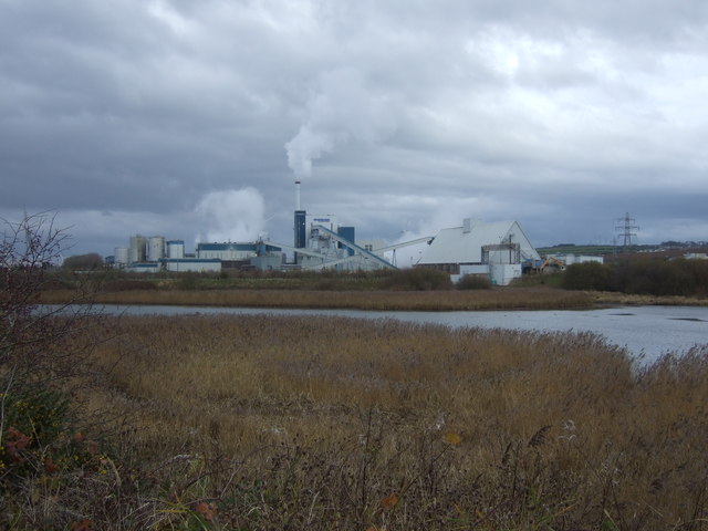
Barepot Images
Images are sourced within 2km of 54.650017/-3.531998 or Grid Reference NY0129. Thanks to Geograph Open Source API. All images are credited.


Barepot is located at Grid Ref: NY0129 (Lat: 54.650017, Lng: -3.531998)
Administrative County: Cumbria
District: Allerdale
Police Authority: Cumbria
What 3 Words
///ripen.unwind.installs. Near Workington, Cumbria
Nearby Locations
Related Wikis

Barker Crossing
Barker Crossing was a pedestrian footbridge in Workington, Cumbria, England that crossed the River Derwent, and linked the north and south sides of the...
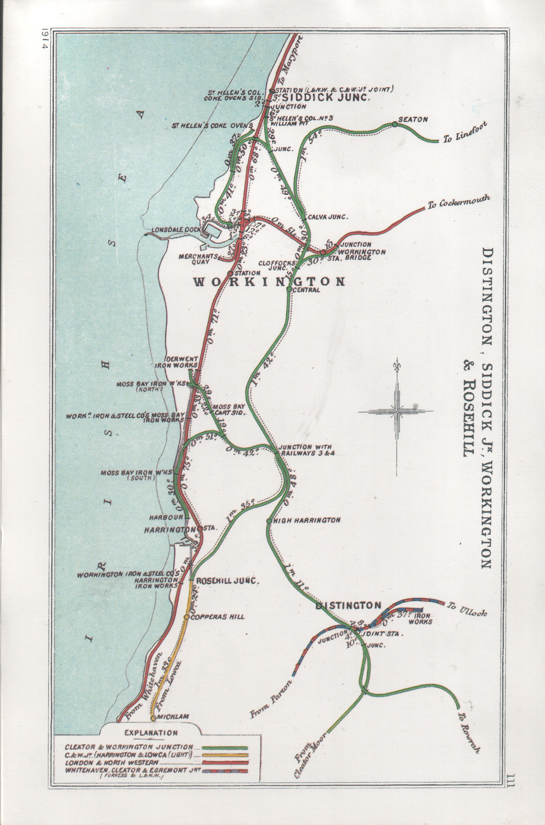
Workington Bridge railway station
Workington Bridge railway station was situated at the northern end of Workington Bridge next to the River Derwent, and was originally served by the Cockermouth...

Workington Hall
Workington Hall, sometimes called Curwen Hall, is a ruined building on the Northeast outskirts of the town of Workington in Cumbria. It is a Grade I listed...

Stainburn, Cumbria
Stainburn is a settlement and former civil parish about 7 miles from Whitehaven, now in the parish of Workington, in the county of Cumbria, England. In...
Nearby Amenities
Located within 500m of 54.650017,-3.531998Have you been to Barepot?
Leave your review of Barepot below (or comments, questions and feedback).