Gallow Hill

Hill, Mountain in Kincardineshire

Scotland

Gallow Hill

Stables Entrance Roadway to the stables at Durris.
Stables Entrance Credit: Scott Cormie

Gallow Hill is a prominent landmark located in Kincardineshire, a historic county in northeastern Scotland. Situated near the town of Stonehaven, Gallow Hill is classified as a hill rather than a mountain, standing at an elevation of approximately 100 meters (328 feet) above sea level.

The hill is known for its significant historical and cultural importance. It derives its name from the infamous gallows that once stood on its summit, where public executions took place during the 17th and 18th centuries. This grim history has left an indelible mark on the hill, attracting both history enthusiasts and those with an interest in the paranormal.

From the top of Gallow Hill, visitors can enjoy stunning panoramic views of the surrounding countryside, including the picturesque coastal town of Stonehaven and the North Sea. The hill is easily accessible, with well-maintained footpaths leading visitors to the summit.

Besides its historical significance and scenic beauty, Gallow Hill also offers recreational opportunities for outdoor enthusiasts. It is a popular spot for walkers and hikers, providing a chance to explore the local flora and fauna. The hill is home to a variety of wildlife, including birds, rabbits, and occasional sightings of deer.

Overall, Gallow Hill in Kincardineshire is a captivating destination that combines history, natural beauty, and outdoor activities. Whether you are interested in learning about its dark past, enjoying breathtaking views, or embarking on a leisurely hike, Gallow Hill offers something for everyone.

If you have any feedback on the listing, please let us know in the comments section below.
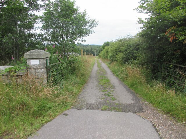
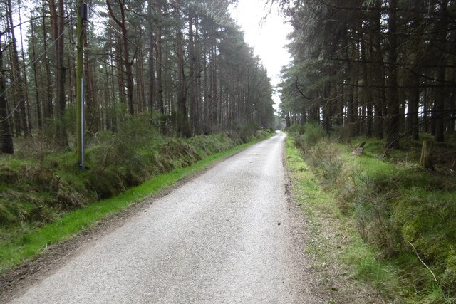
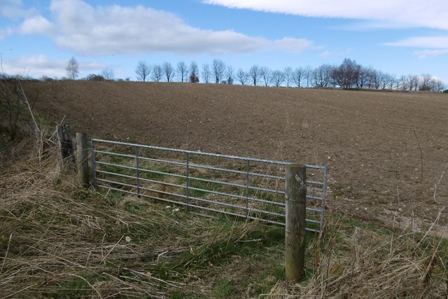
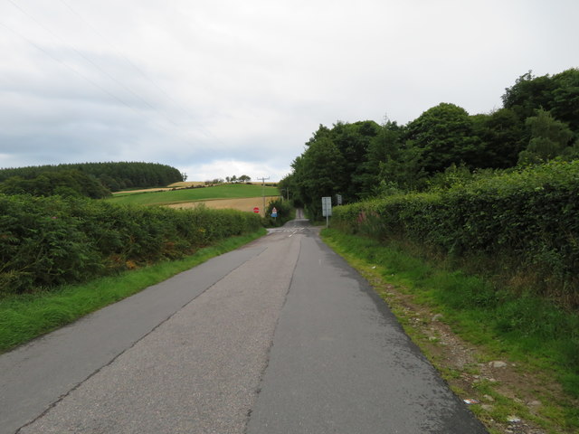
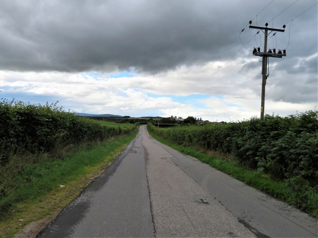
Gallow Hill Images

Images are sourced within 2km of 57.071651/-2.3222669 or Grid Reference NO8097. Thanks to Geograph Open Source API. All images are credited.

Stables Entrance Roadway to the stables at Durris.
Stables Entrance
Roadway to the stables at Durris.
Park Bridge Park Bridge from the north bank of the River Dee.
Park Bridge
Park Bridge from the north bank of the River Dee.
River Dee from Park Bridge Looking upstream of the River Dee from Park Bridge.
River Dee from Park Bridge
Looking upstream of the River Dee from Park Bridge.
River Dee at Craiglug, near Peterculter, from the air Taken from a plane on approach to Aberdeen Airport.
River Dee at Craiglug, near Peterculter, from the air
Taken from a plane on approach to Aberdeen Airport.
Road, Cairnton Wood A minor road used by the Deeside Way which has been forced off the old railway between Drumoak and Coalford.
Road, Cairnton Wood
A minor road used by the Deeside Way which has been forced off the old railway between Drumoak and Coalford.
Ride, Cairnton Wood Some tall conifers, I expect this scene to change soon.
Ride, Cairnton Wood
Some tall conifers, I expect this scene to change soon.
Cairnton Wood
Cairnton Wood
Edge of Cairnton Wood A view over to the Kincardineshire side of the Dee.
Edge of Cairnton Wood
A view over to the Kincardineshire side of the Dee.
Cairnton Wood A lovely piece of mossy stonework.
Cairnton Wood
A lovely piece of mossy stonework.
Road out of Dalmaik
Road out of Dalmaik
Deeside Way An off road section on the bit off the railway between Coalford and Drumoak.
Deeside Way
An off road section on the bit off the railway between Coalford and Drumoak.
Sandy soils, Dalmaik Glacial deposits, favoured by rabbits.
Sandy soils, Dalmaik
Glacial deposits, favoured by rabbits.
Arable land, Drumoak The line of trees marks the Deeside Railway trackbed.
Arable land, Drumoak
The line of trees marks the Deeside Railway trackbed.
Dalmaik Church - St Maik's Church As seen from the banks of the River Dee.  The church was built in the 1600s.
Dalmaik Church - St Maik's Church
As seen from the banks of the River Dee. The church was built in the 1600s.
Crossroads Ahead The road from Drumoak approaching a crossroad as the B9077 crosses from left to right.
Crossroads Ahead
The road from Drumoak approaching a crossroad as the B9077 crosses from left to right.
Towards Drumoak The hedge lined road to Drumoak.
Towards Drumoak
The hedge lined road to Drumoak.
Old Milestone by the B9077, Peterculter parish Aberdeen granite by the B9077, in parish of Peterculter (Aberdeen District), nearly opposite BP pipeline indicator No. 038, on verge, South side of road.

Inscription reads:-
10
(To Aberdeen)

Surveyed

Milestone Society National ID: AD_ADBN10
Old Milestone by the B9077, Peterculter parish
Aberdeen granite by the B9077, in parish of Peterculter (Aberdeen District), nearly opposite BP pipeline indicator No. 038, on verge, South side of road. Inscription reads:- 10 (To Aberdeen) Surveyed Milestone Society National ID: AD_ADBN10
Old Church at Drumoak, Aberdeenshire The old church at Drumoak is now a ruin.  The border between Aberdeenshire and Aberdeen city runs around the edge of the church yard.
Old Church at Drumoak, Aberdeenshire
The old church at Drumoak is now a ruin. The border between Aberdeenshire and Aberdeen city runs around the edge of the church yard.
Show me another place!

Gallow Hill is located at Grid Ref: NO8097 (Lat: 57.071651, Lng: -2.3222669)

Unitary Authority: Aberdeenshire

Police Authority: North East

What 3 Words

///undertook.renders.prom. Near Peterculter, Aberdeen

Nearby Locations

Kincluny Gallow Hill

Related Wikis

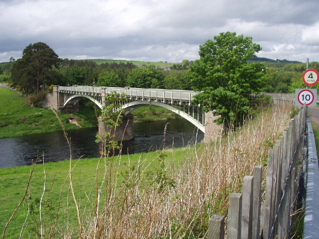
Park Bridge, Aberdeenshire

Park Bridge is a road bridge in Aberdeenshire, Scotland which crosses the River Dee. It is currently open to pedestrians and cyclists, and it also carried...

Park railway station (Deeside)

Park railway station was opened in September 1853 by the Deeside Railway and served the rural area around the Park estate, Nether Sunnyside, West Redford...

Drum railway station

Drum railway station was opened in January 1854 by the Deeside Railway and served the rural area around Drum Castle estate. The Deeside Railway was taken...

Drumoak

Drumoak (, Scottish Gaelic: Druim M'Aodhaig, lit. 'the ridge of St Aodhag') is a village situated between Peterculter and Banchory in North Deeside, Aberdeenshire...

Nearby Amenities

Located within 500m of 57.071651,-2.3222669
Power: pole
Lat/Long: 57.0692038/-2.3290575
Power: pole
Lat/Long: 57.0686701/-2.3279577
Power: pole
Lat/Long: 57.0681821/-2.3268901
Power: pole
Lat/Long: 57.0676973/-2.3258319
Power: pole
Lat/Long: 57.0712156/-2.3258791
Power: pole
Lat/Long: 57.0706352/-2.3263118
Power: pole
Lat/Long: 57.0700877/-2.3268731
Power: pole
Lat/Long: 57.0696193/-2.327901
The data included in this document is from www.openstreetmap.org. The data is made available under ODbL.

Have you been to Gallow Hill?

Leave your review of Gallow Hill below (or comments, questions and feedback).