Hob Hill

Hill, Mountain in Staffordshire Stafford

England

Hob Hill

Crossroads at Knightley The crossing of Riley Lane and Lodge lane close to the village of Woodseaves.
Crossroads at Knightley Credit: Trevor Littlewood

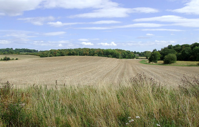
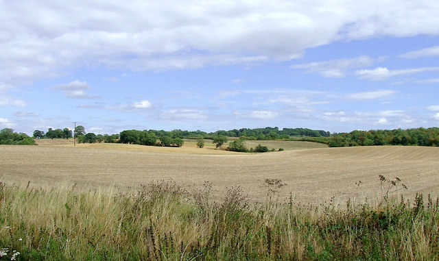
Hob Hill, located in Staffordshire, England, is a prominent and picturesque hill that forms part of the Staffordshire Moorlands. Rising to an elevation of approximately 1,000 feet (305 meters), it offers breathtaking views of the surrounding countryside and has become a popular destination for hikers, nature enthusiasts, and photographers.

The hill is characterized by its gently sloping sides and is covered in vibrant green grasses, wildflowers, and scattered patches of woodland. It is home to a diverse range of flora and fauna, including heather, gorse, and various species of birds, making it an important site for wildlife conservation.

Hob Hill has a rich history and is known for its connection to folklore and legends. Local tales speak of mythical creatures, such as hobgoblins and fairies, who were believed to have inhabited the hill and its surrounding areas. These stories have added to the allure and mystique of the place, attracting visitors interested in exploring its mythical past.

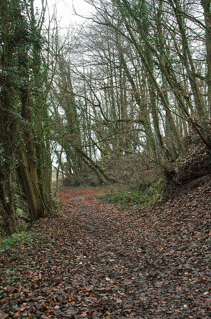
The hill is easily accessible via footpaths and trails, which wind their way through the Staffordshire countryside, offering stunning views at every turn. Visitors can choose to embark on a leisurely stroll or take on a more challenging hike to reach the summit, where they will be rewarded with panoramic vistas of the Staffordshire Moorlands.

Overall, Hob Hill, Staffordshire, is a captivating natural landmark, offering a blend of awe-inspiring scenery, cultural heritage, and opportunities for outdoor activities, making it a must-visit destination for those seeking a unique and memorable experience in the heart of England.

If you have any feedback on the listing, please let us know in the comments section below.
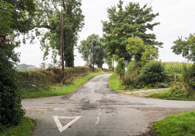
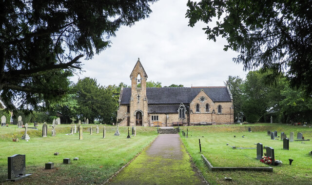
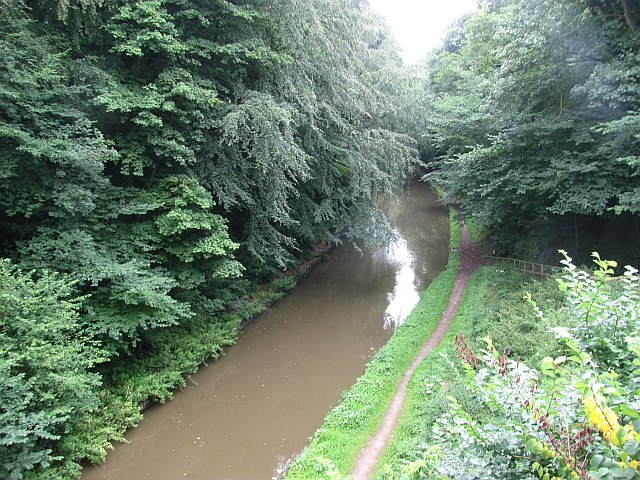
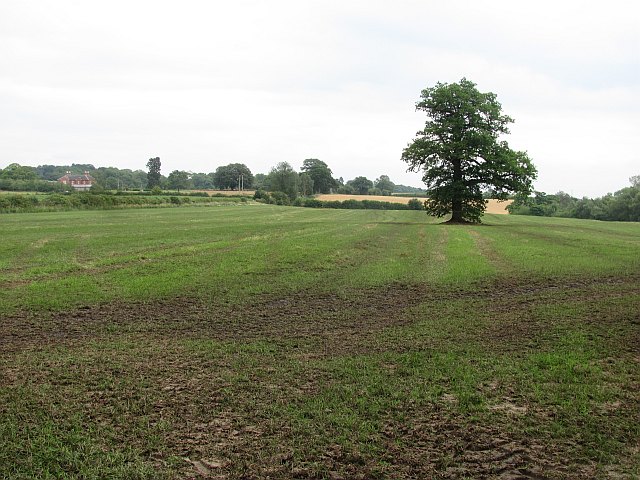
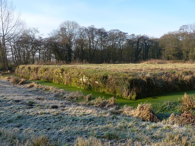
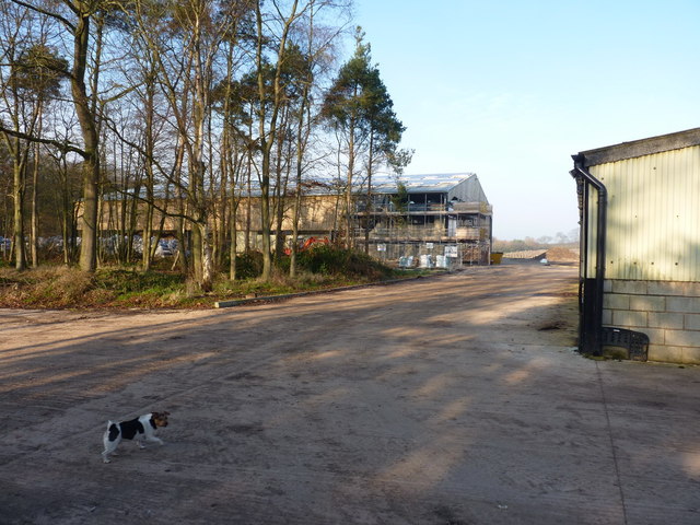
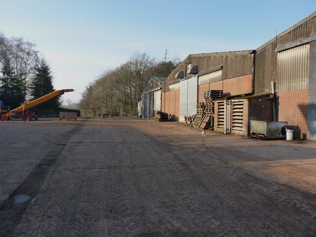
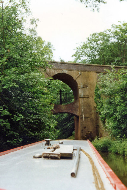
Hob Hill Images

Images are sourced within 2km of 52.817102/-2.2924105 or Grid Reference SJ8024. Thanks to Geograph Open Source API. All images are credited.

Crossroads at Knightley The crossing of Riley Lane and Lodge lane close to the village of Woodseaves.
Crossroads at Knightley
The crossing of Riley Lane and Lodge lane close to the village of Woodseaves.
Christ Church at Knightley Christ Church is located along the B5405 close to the village at Woodseaves.
Christ Church at Knightley
Christ Church is located along the B5405 close to the village at Woodseaves.
Shropshire Union Canal View from the High Bridge.
Shropshire Union Canal
View from the High Bridge.
A muddy field Silage has just been taken off this field, and vehicle movements have made things muddy. A lone tree in the middle of a field is often a sign that there was once a hedge there.
A muddy field
Silage has just been taken off this field, and vehicle movements have made things muddy. A lone tree in the middle of a field is often a sign that there was once a hedge there.
The Cock Inn at Woodseaves
Workshops at Norbury Junction
Shropshire Union Canal - just north of Norbury
Woodland near the Shropshire Union Canal
Arable fields east of Norbury, Staffordshire Seen from the Shropshire Union Canal, the woodland ahead is Little Campions; that by the right edge is Moat Covert.
Arable fields east of Norbury, Staffordshire
Seen from the Shropshire Union Canal, the woodland ahead is Little Campions; that by the right edge is Moat Covert.
Arable fields east of Norbury, Staffordshire Seen from the Shropshire Union Canal, the woodland at the right edge is known as Little Campions. Straight ahead and more distant are Gorsey Covert and Ball's Rough, on the skyline.
Arable fields east of Norbury, Staffordshire
Seen from the Shropshire Union Canal, the woodland at the right edge is known as Little Campions. Straight ahead and more distant are Gorsey Covert and Ball's Rough, on the skyline.
Across the fields to Norbury Manor The main manor house, and barn conversions, at Norbury.
Across the fields to Norbury Manor
The main manor house, and barn conversions, at Norbury.
Norbury Manor house A fine Georgian style manor house, built using much of the masonry from the ruined 14th century house that originally stood within the nearby moat.
Norbury Manor house
A fine Georgian style manor house, built using much of the masonry from the ruined 14th century house that originally stood within the nearby moat.
The original location of Norbury Manor The square platform within this moat was the base for the 14th century Norbury Manor. It was built by Ralph le Botiller in the early 1300s, and sold to one Thomas Skrymsher in 1521. In the 1700s, it changed hands again, passing to George Anson of Shugborough in Staffs, but was in a generally poor state of repair by that time, and fell into disuse soon after. Demolition followed in the 1800s, and much of the masonry was re-used to build the current house a couple of hundred yards away <a href="https://www.geograph.org.uk/photo/3295776">SJ7923 : Norbury Manor house</a>
(Info from the on-site signage by Natural England)
The original location of Norbury Manor
The square platform within this moat was the base for the 14th century Norbury Manor. It was built by Ralph le Botiller in the early 1300s, and sold to one Thomas Skrymsher in 1521. In the 1700s, it changed hands again, passing to George Anson of Shugborough in Staffs, but was in a generally poor state of repair by that time, and fell into disuse soon after. Demolition followed in the 1800s, and much of the masonry was re-used to build the current house a couple of hundred yards away SJ7923 : Norbury Manor house (Info from the on-site signage by Natural England)
New barn under construction A large new barn is currently being built at the back of the existing buildings on this farm.
New barn under construction
A large new barn is currently being built at the back of the existing buildings on this farm.
Barns, pallets and machinery An assortment of farming paraphernalia in the tidy yard.
Barns, pallets and machinery
An assortment of farming paraphernalia in the tidy yard.
High Bridge 39 Shropshire Union Canal The Shropshire Union Canal (from Autherley to Nantwich) was engineered by Thomas Telford and opened in 1835. There are long straight sections of this canal which required either embankments or cuttings to avoid the need for locks. Although this was a more difficult procedure, the end route was shorter and the progress for horse drawn working boats could be maintained with (hopefully) no stoppages. The canal (formerly the Birmingham and Liverpool Junction Canal) was opened at a time when railways were making serious inroads into the canal companies' businesses. 

The current Shroppie north of Nantwich was formerly the Chester Canal, opened in 1779, and has wider locks and bridges. Boats up to nine feet in beam can still navigate this section; Telford's canal accommodates only narrowboats up to seven feet in beam.
High Bridge 39 Shropshire Union Canal
The Shropshire Union Canal (from Autherley to Nantwich) was engineered by Thomas Telford and opened in 1835. There are long straight sections of this canal which required either embankments or cuttings to avoid the need for locks. Although this was a more difficult procedure, the end route was shorter and the progress for horse drawn working boats could be maintained with (hopefully) no stoppages. The canal (formerly the Birmingham and Liverpool Junction Canal) was opened at a time when railways were making serious inroads into the canal companies' businesses. The current Shroppie north of Nantwich was formerly the Chester Canal, opened in 1779, and has wider locks and bridges. Boats up to nine feet in beam can still navigate this section; Telford's canal accommodates only narrowboats up to seven feet in beam.
High Bridge near Norbury, Staffordshire Shropshire Union Canal.
This strange looking bridge (No 39) is in Grub Street cutting, and carries the A519 between Newport and Eccleshall. This is yet another of the many cuttings (linked by long embankments) that Thomas Telford engineered in order to build his canal as straight as possible with as few locks as possible, thus allowing working boats the least delay possible as they attempted to combat the growing competition from the railways in the mid 1830s when this canal was opened.
High Bridge near Norbury, Staffordshire
Shropshire Union Canal. This strange looking bridge (No 39) is in Grub Street cutting, and carries the A519 between Newport and Eccleshall. This is yet another of the many cuttings (linked by long embankments) that Thomas Telford engineered in order to build his canal as straight as possible with as few locks as possible, thus allowing working boats the least delay possible as they attempted to combat the growing competition from the railways in the mid 1830s when this canal was opened.
Show me another place!

Hob Hill is located at Grid Ref: SJ8024 (Lat: 52.817102, Lng: -2.2924105)

Administrative County: Staffordshire

District: Stafford

Police Authority: Staffordshire

What 3 Words

///haunt.really.snippet. Near Gnosall, Staffordshire

Nearby Locations

Ball's Rough Hob Hill

Related Wikis

Knightley, Staffordshire

Knightley is a hamlet and former manor in Staffordshire, England. It is situated near the villages of Gnosall and Woodseaves, now on the B5405 road. There...

Woodseaves

Woodseaves is a village in Staffordshire, England. It lies in the civil parish of High Offley and is situated on the A519 (Newport-Newcastle-under-Lyme...

Loynton

Loynton is a hamlet on the A519 near the villages of Norbury, and Woodseaves in Staffordshire, England. It lies in the civil parish of Norbury. Loynton...

Loynton Moss

Loynton Moss is a nature reserve of the Staffordshire Wildlife Trust, near the village of Woodseaves, in Staffordshire, England. It is adjacent to the...

Norbury Junction

Norbury Junction (grid reference SJ793228) is a hamlet and former canal junction which lies about 1 mile (1.6 km) to the south east of Norbury, in Staffordshire...

Norbury, Staffordshire

Norbury is a village and civil parish in the Borough of Stafford, in west Staffordshire, England. The population as taken at the 2011 census was 371.It...

Gnosall Rural District

Gnosall was a rural district in Staffordshire, England from 1894 to 1934. It was formed under the Local Government Act 1894 from that part of the Newport...

High Offley

High Offley is a small village and civil parish in Staffordshire, England. It lies 3 miles southwest of the small town of Eccleshall and about 1 mile west...

Related Videos

380 - Narrowboat Olive Is Back up And Running! Beautiful Shropshire Union Canal Cruise

Today we can continue our cruise to Shebdon, because narrowboat Olive is repaired, this morning dad fitted a new belt to our ...

The Boat Inn Gnosall to Norbury Junction - A Beautiful Walk - Shropshire Union Canal

Starting at The Boat Inn in Gnosall, Staffordshire we follow the beautiful and serene Shropshire Union Canal for about 2.5 miles ...

Part 2, The birthday surprise for India and Oscar at Knightley Alpaca Trekking Experience

India finally gets her birthday present from nan and grandad, Oscar joins us too as we go trekking with Alpacas at Knightley ...

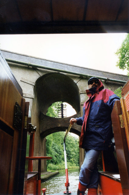
292 - Interesting Secrets & History of The Shropshire Union Canal | Narrowboat Cruise to Norbury

Today me and dad head off from Little Onn towards Gnosall as mum takes the car ahead and does some shopping. there's plenty ...

Nearby Amenities

Located within 500m of 52.817102,-2.2924105
Hob Hill
Natural: peak
Lat/Long: 52.8169102/-2.2922893
Power: pole
Lat/Long: 52.8210244/-2.2894934
Power: pole
Lat/Long: 52.8212611/-2.2906736
Power: pole
Lat/Long: 52.8215658/-2.2922802
The data included in this document is from www.openstreetmap.org. The data is made available under ODbL.

Have you been to Hob Hill?

Leave your review of Hob Hill below (or comments, questions and feedback).