Ball's Rough

Wood, Forest in Staffordshire Stafford

England

Ball's Rough

Crossroads at Knightley The crossing of Riley Lane and Lodge lane close to the village of Woodseaves.
Crossroads at Knightley Credit: Trevor Littlewood

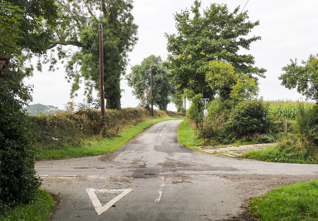
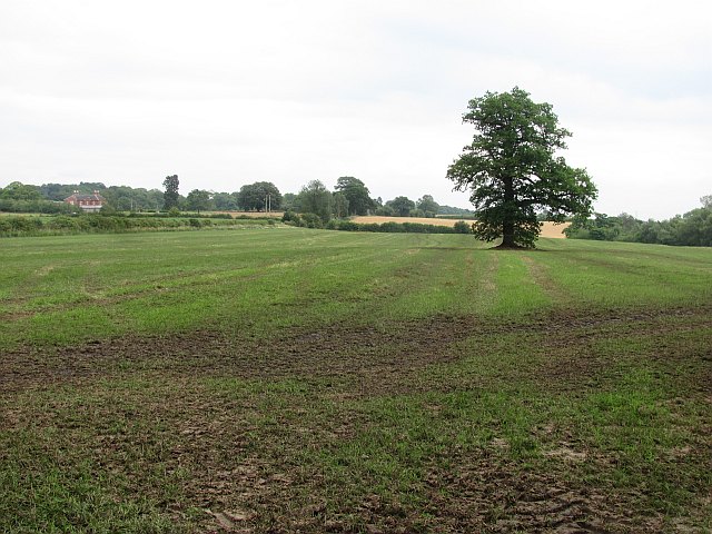
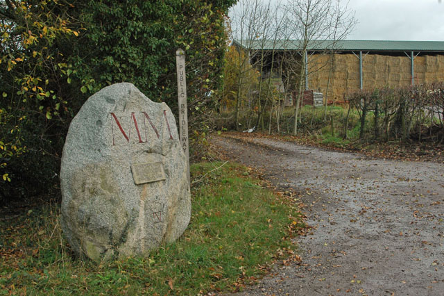
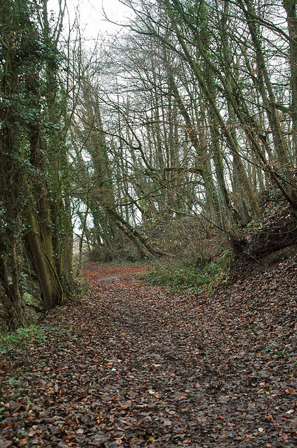
Ball's Rough is a serene woodland area located in the county of Staffordshire, England. Nestled within the beautiful Cannock Chase, Ball's Rough is a haven for nature lovers and outdoor enthusiasts alike. Covering an expanse of approximately 100 hectares, this enchanting forest is known for its scenic beauty and rich biodiversity.

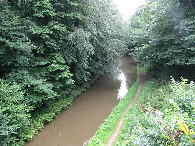
The woodland is predominantly composed of native broadleaf trees, including oak, birch, and beech, which create a picturesque and tranquil atmosphere. The forest floor is adorned with a carpet of wildflowers, such as bluebells and wood anemones, adding bursts of vibrant colors during the spring season.

Ball's Rough is home to a diverse range of wildlife, making it an ideal spot for wildlife enthusiasts and birdwatchers. Visitors may spot various species of birds, including woodpeckers, nuthatches, and tawny owls. The forest also provides a habitat for mammals such as foxes, badgers, and deer, adding to the allure of the area.

A network of well-maintained footpaths and trails meander through the woodland, offering visitors the opportunity to explore and immerse themselves in the peaceful surroundings. These paths are suitable for walkers of all ages and abilities, providing a chance to unwind and enjoy the natural beauty of the area.

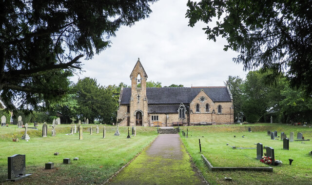
Ball's Rough is a designated Site of Special Scientific Interest (SSSI) due to its ecological significance. This recognition highlights the importance of preserving and protecting this unique woodland for future generations to enjoy.

If you have any feedback on the listing, please let us know in the comments section below.
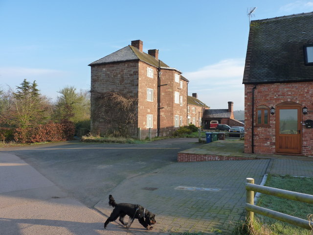
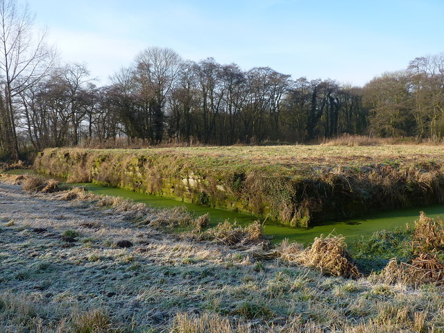
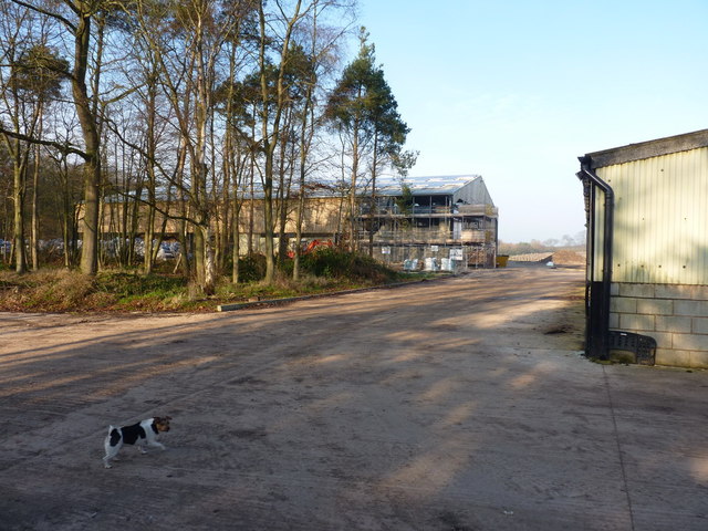
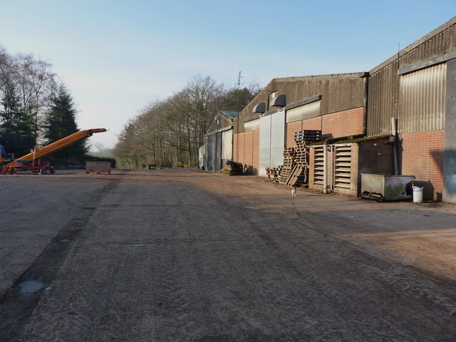
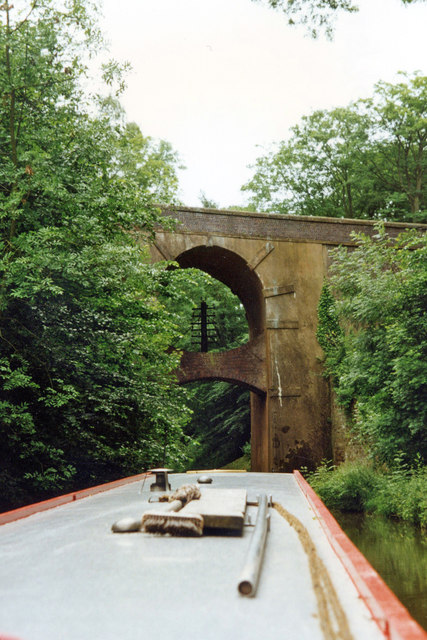
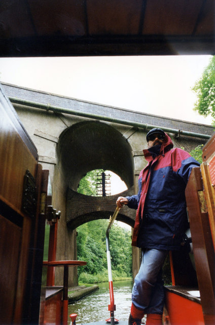
Ball's Rough Images

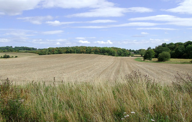
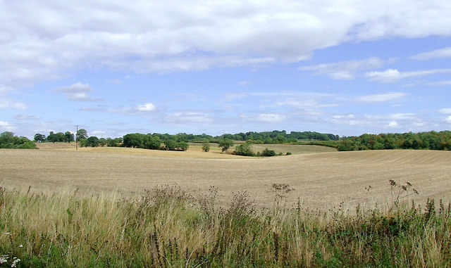
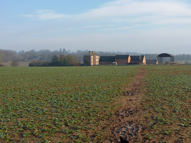
Images are sourced within 2km of 52.815002/-2.2980048 or Grid Reference SJ8024. Thanks to Geograph Open Source API. All images are credited.

Crossroads at Knightley The crossing of Riley Lane and Lodge lane close to the village of Woodseaves.
Crossroads at Knightley
The crossing of Riley Lane and Lodge lane close to the village of Woodseaves.
Christ Church at Knightley Christ Church is located along the B5405 close to the village at Woodseaves.
Christ Church at Knightley
Christ Church is located along the B5405 close to the village at Woodseaves.
Shropshire Union Canal View from the High Bridge.
Shropshire Union Canal
View from the High Bridge.
A muddy field Silage has just been taken off this field, and vehicle movements have made things muddy. A lone tree in the middle of a field is often a sign that there was once a hedge there.
A muddy field
Silage has just been taken off this field, and vehicle movements have made things muddy. A lone tree in the middle of a field is often a sign that there was once a hedge there.
A 'Millennium Stone' on Grubb Street
The Cock Inn at Woodseaves
Workshops at Norbury Junction
Shropshire Union Canal - just north of Norbury
Woodland near the Shropshire Union Canal
Arable fields east of Norbury, Staffordshire Seen from the Shropshire Union Canal, the woodland ahead is Little Campions; that by the right edge is Moat Covert.
Arable fields east of Norbury, Staffordshire
Seen from the Shropshire Union Canal, the woodland ahead is Little Campions; that by the right edge is Moat Covert.
Arable fields east of Norbury, Staffordshire Seen from the Shropshire Union Canal, the woodland at the right edge is known as Little Campions. Straight ahead and more distant are Gorsey Covert and Ball's Rough, on the skyline.
Arable fields east of Norbury, Staffordshire
Seen from the Shropshire Union Canal, the woodland at the right edge is known as Little Campions. Straight ahead and more distant are Gorsey Covert and Ball's Rough, on the skyline.
Across the fields to Norbury Manor The main manor house, and barn conversions, at Norbury.
Across the fields to Norbury Manor
The main manor house, and barn conversions, at Norbury.
Norbury Manor house A fine Georgian style manor house, built using much of the masonry from the ruined 14th century house that originally stood within the nearby moat.
Norbury Manor house
A fine Georgian style manor house, built using much of the masonry from the ruined 14th century house that originally stood within the nearby moat.
The original location of Norbury Manor The square platform within this moat was the base for the 14th century Norbury Manor. It was built by Ralph le Botiller in the early 1300s, and sold to one Thomas Skrymsher in 1521. In the 1700s, it changed hands again, passing to George Anson of Shugborough in Staffs, but was in a generally poor state of repair by that time, and fell into disuse soon after. Demolition followed in the 1800s, and much of the masonry was re-used to build the current house a couple of hundred yards away <a href="https://www.geograph.org.uk/photo/3295776">SJ7923 : Norbury Manor house</a>
(Info from the on-site signage by Natural England)
The original location of Norbury Manor
The square platform within this moat was the base for the 14th century Norbury Manor. It was built by Ralph le Botiller in the early 1300s, and sold to one Thomas Skrymsher in 1521. In the 1700s, it changed hands again, passing to George Anson of Shugborough in Staffs, but was in a generally poor state of repair by that time, and fell into disuse soon after. Demolition followed in the 1800s, and much of the masonry was re-used to build the current house a couple of hundred yards away SJ7923 : Norbury Manor house (Info from the on-site signage by Natural England)
New barn under construction A large new barn is currently being built at the back of the existing buildings on this farm.
New barn under construction
A large new barn is currently being built at the back of the existing buildings on this farm.
Barns, pallets and machinery An assortment of farming paraphernalia in the tidy yard.
Barns, pallets and machinery
An assortment of farming paraphernalia in the tidy yard.
High Bridge 39 Shropshire Union Canal The Shropshire Union Canal (from Autherley to Nantwich) was engineered by Thomas Telford and opened in 1835. There are long straight sections of this canal which required either embankments or cuttings to avoid the need for locks. Although this was a more difficult procedure, the end route was shorter and the progress for horse drawn working boats could be maintained with (hopefully) no stoppages. The canal (formerly the Birmingham and Liverpool Junction Canal) was opened at a time when railways were making serious inroads into the canal companies' businesses. 

The current Shroppie north of Nantwich was formerly the Chester Canal, opened in 1779, and has wider locks and bridges. Boats up to nine feet in beam can still navigate this section; Telford's canal accommodates only narrowboats up to seven feet in beam.
High Bridge 39 Shropshire Union Canal
The Shropshire Union Canal (from Autherley to Nantwich) was engineered by Thomas Telford and opened in 1835. There are long straight sections of this canal which required either embankments or cuttings to avoid the need for locks. Although this was a more difficult procedure, the end route was shorter and the progress for horse drawn working boats could be maintained with (hopefully) no stoppages. The canal (formerly the Birmingham and Liverpool Junction Canal) was opened at a time when railways were making serious inroads into the canal companies' businesses. The current Shroppie north of Nantwich was formerly the Chester Canal, opened in 1779, and has wider locks and bridges. Boats up to nine feet in beam can still navigate this section; Telford's canal accommodates only narrowboats up to seven feet in beam.
Show me another place!

Ball's Rough is located at Grid Ref: SJ8024 (Lat: 52.815002, Lng: -2.2980048)

Administrative County: Staffordshire

District: Stafford

Police Authority: Staffordshire

What 3 Words

///hiked.shameless.readers. Near Gnosall, Staffordshire

Nearby Locations

Hob Hill Ball's Rough

Related Wikis

Loynton

Loynton is a hamlet on the A519 near the villages of Norbury, and Woodseaves in Staffordshire, England. It lies in the civil parish of Norbury. Loynton...

Loynton Moss

Loynton Moss is a nature reserve of the Staffordshire Wildlife Trust, near the village of Woodseaves, in Staffordshire, England. It is adjacent to the...

Woodseaves

Woodseaves is a village in Staffordshire, England. It lies in the civil parish of High Offley and is situated on the A519 (Newport-Newcastle-under-Lyme...

Knightley, Staffordshire

Knightley is a hamlet and former manor in Staffordshire, England. It is situated near the villages of Gnosall and Woodseaves, now on the B5405 road. There...

Norbury Junction

Norbury Junction (grid reference SJ793228) is a hamlet and former canal junction which lies about 1 mile (1.6 km) to the south east of Norbury, in Staffordshire...

Norbury, Staffordshire

Norbury is a village and civil parish in the Borough of Stafford, in west Staffordshire, England. The population as taken at the 2011 census was 371.It...

Gnosall Rural District

Gnosall was a rural district in Staffordshire, England from 1894 to 1934. It was formed under the Local Government Act 1894 from that part of the Newport...

High Offley

High Offley is a small village and civil parish in Staffordshire, England. It lies 3 miles southwest of the small town of Eccleshall and about 1 mile west...

Nearby Amenities

Located within 500m of 52.815002,-2.2980048
Hob Hill
Natural: peak
Lat/Long: 52.8169102/-2.2922893
Power: pole
Lat/Long: 52.8175281/-2.3039961
Power: pole
Lat/Long: 52.8168278/-2.3040766
Power: pole
Lat/Long: 52.8156736/-2.3041597
Power: pole
Lat/Long: 52.8146458/-2.3042429
Power: pole
Lat/Long: 52.8142016/-2.3042348
Power: pole
Lat/Long: 52.8132873/-2.3042965
Power: pole
Lat/Long: 52.8145883/-2.3043501
Power: pole
Lat/Long: 52.8143443/-2.3040886
Power: pole
Lat/Long: 52.8131187/-2.3041758
The data included in this document is from www.openstreetmap.org. The data is made available under ODbL.

Have you been to Ball's Rough?

Leave your review of Ball's Rough below (or comments, questions and feedback).