Jumpers Common
Settlement in Hampshire
England
Jumpers Common
Jumpers Common is a small village located in the county of Hampshire, England. Situated approximately 3 miles southwest of the town of Christchurch, it is nestled between the New Forest National Park and the coastline of the English Channel. The village is surrounded by picturesque countryside, with rolling hills, open fields, and woodland areas.
The area is known for its natural beauty and offers a tranquil setting for residents and visitors alike. The village itself is relatively small, with a population of around 500 people. It retains a quaint and charming atmosphere, with a mix of traditional thatched cottages and more modern housing.
Jumpers Common is well-connected to neighboring towns and cities, with good transport links including a nearby railway station and access to major road networks. This makes it an attractive location for commuters looking to escape the hustle and bustle of city life.
In terms of amenities, the village has a local pub that serves as a social hub for the community. There are also a few small shops, including a convenience store, providing basic necessities for residents.
The surrounding area offers numerous opportunities for outdoor activities such as hiking, cycling, and horse riding. The nearby New Forest National Park is a popular destination for nature enthusiasts, offering extensive walking trails and diverse wildlife.
Overall, Jumpers Common offers a peaceful and idyllic setting for those seeking a rural lifestyle, while still being within easy reach of larger towns and cities.
If you have any feedback on the listing, please let us know in the comments section below.
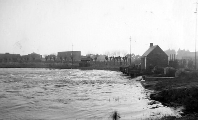
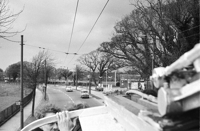
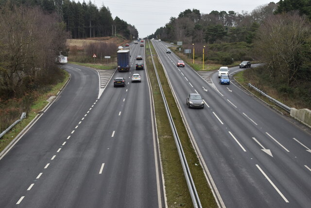
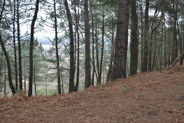
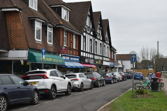
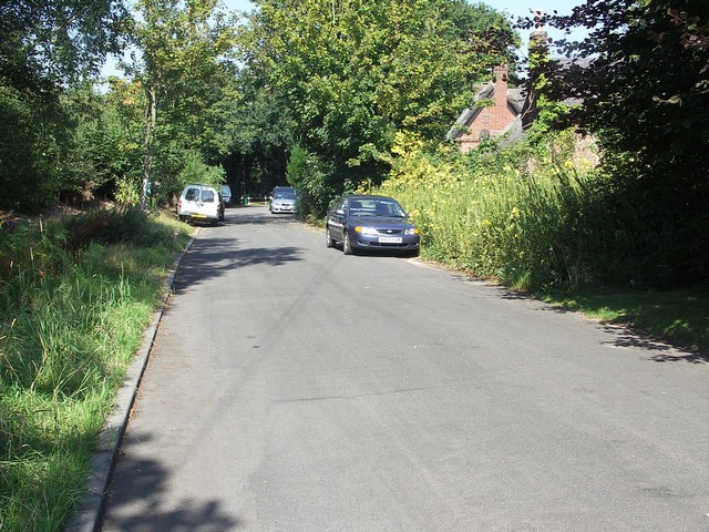
Jumpers Common Images
Images are sourced within 2km of 50.749911/-1.7993333 or Grid Reference SZ1494. Thanks to Geograph Open Source API. All images are credited.


Jumpers Common is located at Grid Ref: SZ1494 (Lat: 50.749911, Lng: -1.7993333)
Unitary Authority: Bournemouth, Christchurch and Poole
Police Authority: Dorset
What 3 Words
///grace.spices.issue. Near Christchurch, Dorset
Nearby Locations
Related Wikis

St Catherine's Hill, Dorset
St Catherine's Hill is a 53-metre (174 ft) hill in the borough of Christchurch which, together with Ramsdown and Blackwater hills, forms a ridge between...
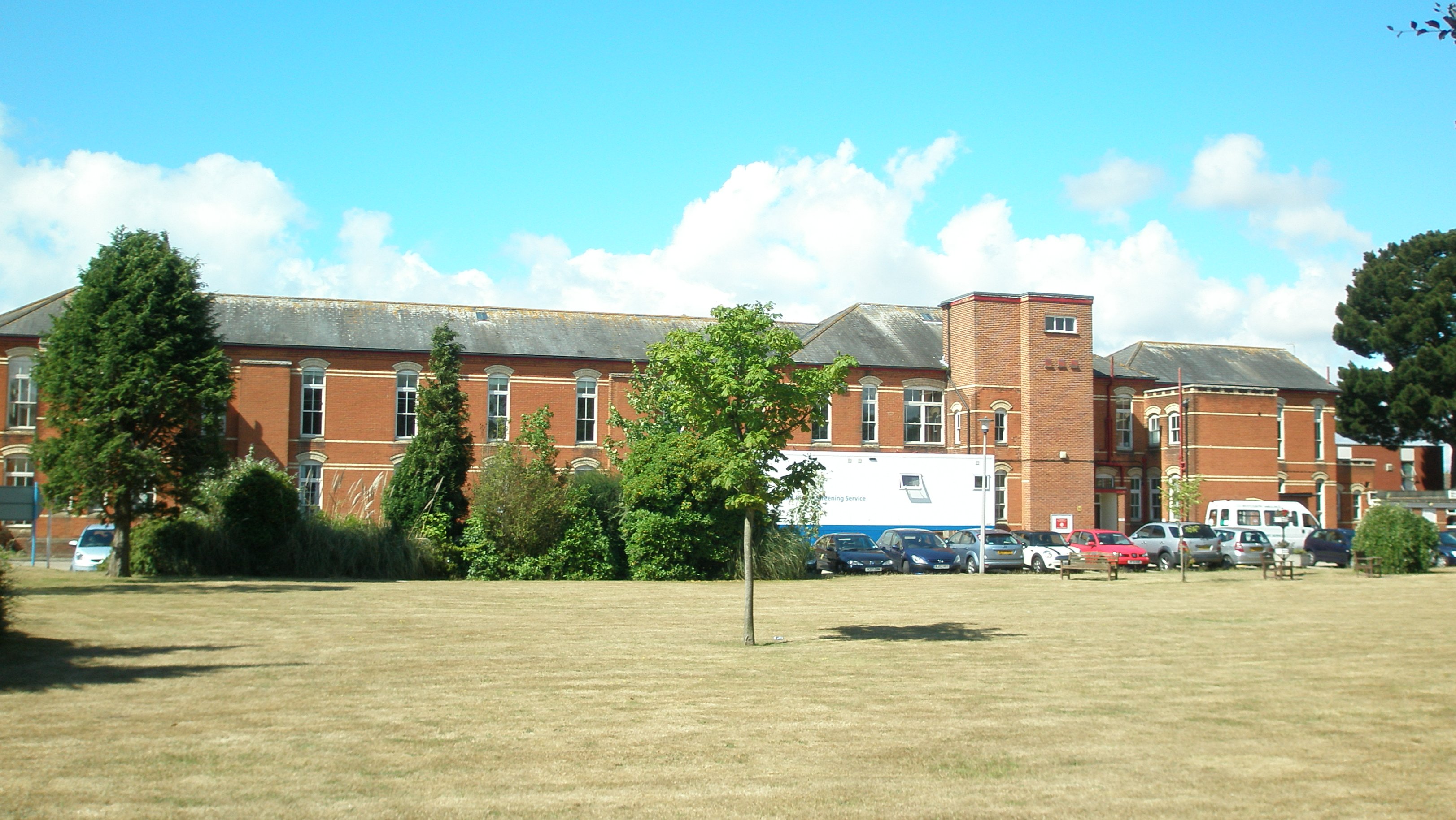
Christchurch Hospital, Dorset
Christchurch Hospital is run by the University Hospitals Dorset NHS Foundation Trust. It is located in Fairmile in Christchurch, Dorset, England. The hospital...
Blackwater, Dorset
Blackwater is a small hamlet in the historic county of Hampshire and the ceremonial county of Dorset, England. Administratively, Blackwater is part of...

Bournemouth Combined Court Centre
The Bournemouth Combined Court Centre, also known as Bournemouth Courts of Justice, is a Crown Court venue, which deals with criminal cases, as well as...

Moors River
The Moors River is a river in east Dorset, England, which starts at the point where the River Crane and the Ebblake Stream meet, at Ebblake, south of Verwood...

Iford, Dorset
Iford () is a suburb of Bournemouth, situated in the eastern part of the borough. It is also known as a bridging point over the River Stour, connecting...

Holdenhurst
Holdenhurst is a small isolated village situated in the green belt land of the north-east suburbs of Bournemouth, England. The village comprises fewer...
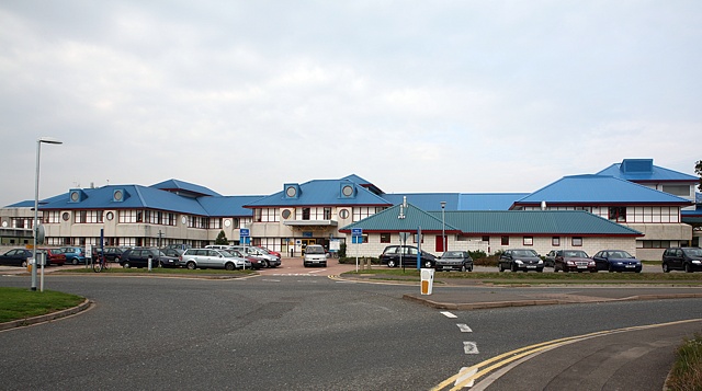
Royal Bournemouth Hospital
The Royal Bournemouth Hospital is an acute general hospital in Bournemouth, Dorset, England. It is managed by the University Hospitals Dorset NHS Foundation...
Nearby Amenities
Located within 500m of 50.749911,-1.7993333Have you been to Jumpers Common?
Leave your review of Jumpers Common below (or comments, questions and feedback).