Elf Hillock
Hill, Mountain in Kincardineshire
Scotland
Elf Hillock

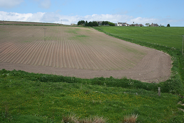
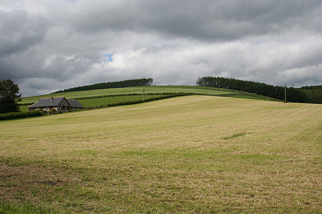
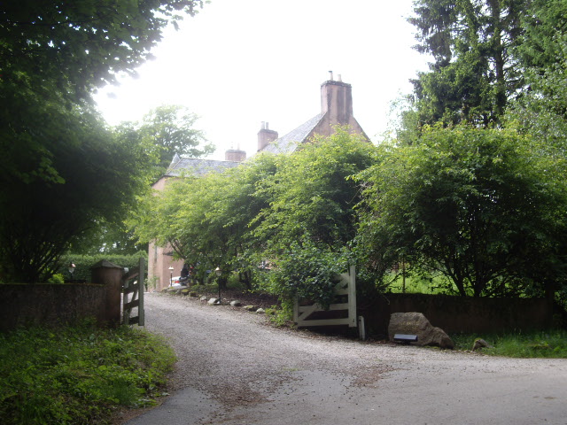
Elf Hillock is a prominent hill located in Kincardineshire, Scotland. It stands at an elevation of approximately 250 meters (820 feet) above sea level, making it a noteworthy landmark in the region. Situated amidst the picturesque countryside, the hill offers breathtaking views of the surrounding landscape.
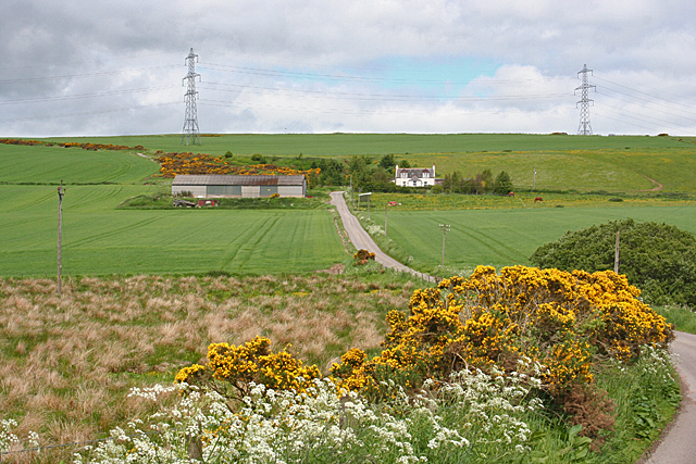
Covered in lush greenery, Elf Hillock is adorned with an array of native flora, including heather, gorse, and wildflowers. Its slopes are gently undulating, providing a moderate hiking trail for outdoor enthusiasts. The hill's terrain consists of a mixture of grassy meadows and rocky outcrops, adding to its natural charm.
One notable feature of Elf Hillock is its association with local folklore and legends. According to local tales, the hill was once inhabited by mythical creatures, particularly elves. These stories have given the hill its name, as it is believed to be a favorite dwelling place of these mystical beings.
Visitors to Elf Hillock can explore the area's enchanting atmosphere and immerse themselves in the rich folklore of the region. The hill attracts nature lovers, hikers, and photographers alike, who seek to capture its captivating beauty and tranquility.
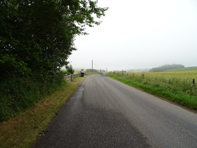
Access to Elf Hillock is convenient, with nearby car parking facilities and well-marked trails. Its location in Kincardineshire also offers visitors the opportunity to explore other nearby attractions, such as historic castles, quaint villages, and stunning coastal landscapes.
In conclusion, Elf Hillock is a picturesque hill in Kincardineshire, Scotland, known for its stunning natural beauty and association with local folklore. With its captivating landscape and mythical charm, it is a must-visit destination for nature enthusiasts and those seeking a touch of magic in their travels.
If you have any feedback on the listing, please let us know in the comments section below.
Elf Hillock Images
Images are sourced within 2km of 56.954245/-2.3305415 or Grid Reference NO7984. Thanks to Geograph Open Source API. All images are credited.


Elf Hillock is located at Grid Ref: NO7984 (Lat: 56.954245, Lng: -2.3305415)
Unitary Authority: Aberdeenshire
Police Authority: North East
What 3 Words
///brimmed.glares.chew. Near Stonehaven, Aberdeenshire
Nearby Locations
Related Wikis
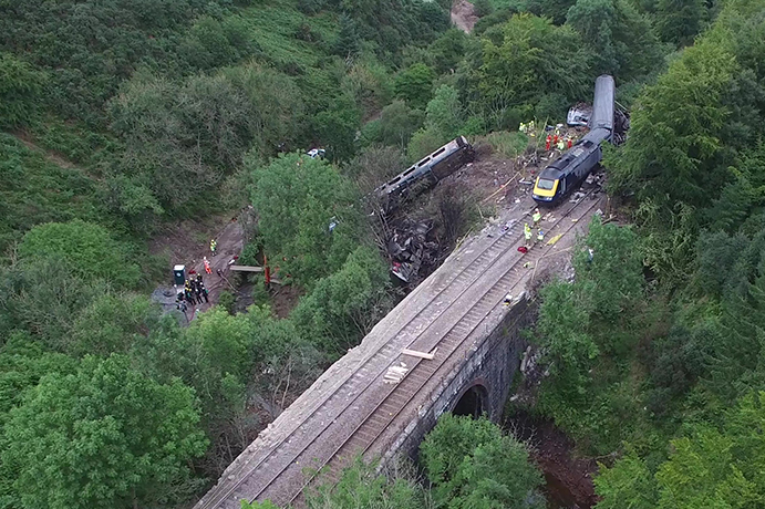
Stonehaven derailment
The Stonehaven derailment was a fatal railway accident that occurred at 09:38 BST on 12 August 2020, when a passenger train returning to Aberdeen hit a...

Carmont railway station
Carmont railway station, on the Aberdeen Railway, served the rural area of Carmont in Aberdeenshire, Scotland from 1855 to 1964. == History == The station...

Tewel
Tewel is a hamlet located approximately two miles west of Stonehaven, Kincardineshire on the Auchenblae Road in Northeast Scotland. It consists of: Tewel...
Mergie
Mergie is a settlement in Aberdeenshire approximately six miles west of Stonehaven, Scotland. Situated in the former Kincardineshire slightly south of...
Nearby Amenities
Located within 500m of 56.954245,-2.3305415Have you been to Elf Hillock?
Leave your review of Elf Hillock below (or comments, questions and feedback).