Foscombe Hill

Hill, Mountain in Gloucestershire Forest of Dean

England

Foscombe Hill

Corse and Staunton Village Hall
Corse and Staunton Village Hall Credit: Jonathan Thacker

Foscombe Hill is a prominent hill located in the county of Gloucestershire, England. Situated near the town of Stroud, it forms part of the picturesque Cotswold Hills, which are known for their rolling countryside and charming villages. Foscombe Hill rises to an elevation of approximately 275 meters (902 feet) above sea level, making it one of the highest points in the area.

The hill is composed of limestone, a characteristic feature of the Cotswold region, and its slopes are covered with lush green grass and scattered patches of woodland. The hill offers stunning panoramic views of the surrounding countryside, with glimpses of the Severn Vale and the Malvern Hills in the distance. On a clear day, it is even possible to see the distant outline of the Brecon Beacons National Park in Wales.

Foscombe Hill is a popular destination for outdoor enthusiasts and nature lovers. It provides ample opportunities for walking, hiking, and picnicking, with several footpaths and trails crisscrossing its slopes. The hill's diverse flora and fauna make it a haven for wildlife, including various species of birds, butterflies, and wildflowers.

The hill is also of historical significance, with evidence of human activity dating back to the Neolithic period. Archaeological excavations have revealed the presence of ancient burial grounds and pottery fragments, highlighting the long-standing human connection to the area.

Overall, Foscombe Hill is a natural gem within Gloucestershire, offering visitors a chance to immerse themselves in the beauty of the Cotswold landscape and witness the rich history that has shaped the region.

If you have any feedback on the listing, please let us know in the comments section below.

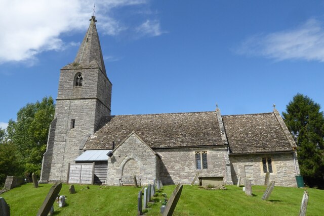
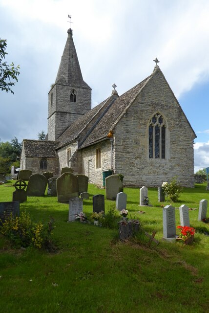
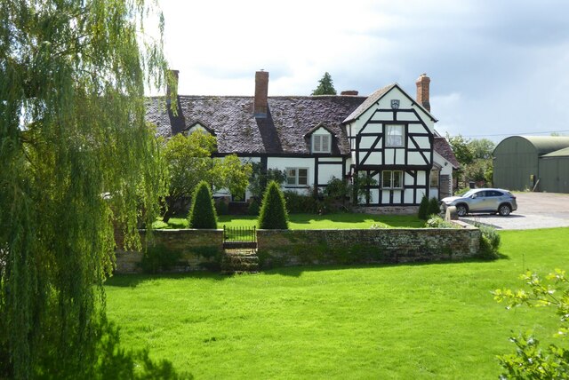
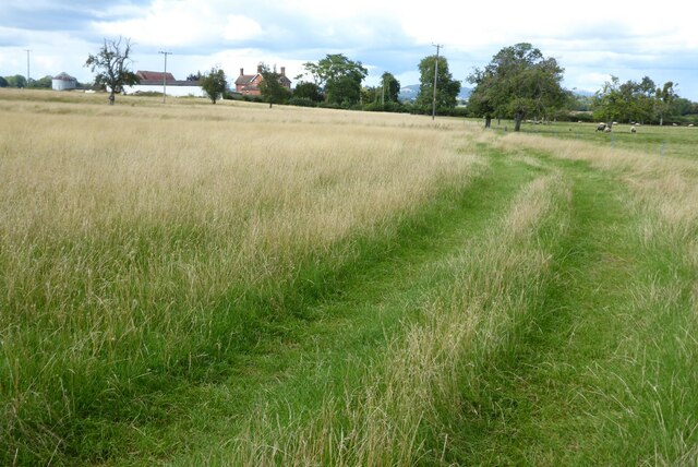
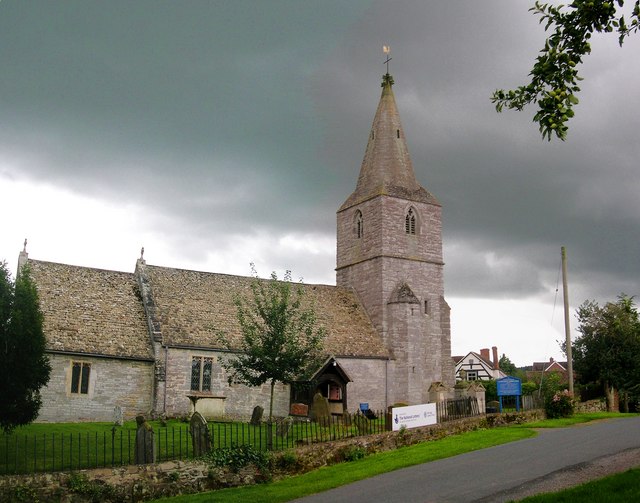
Foscombe Hill Images

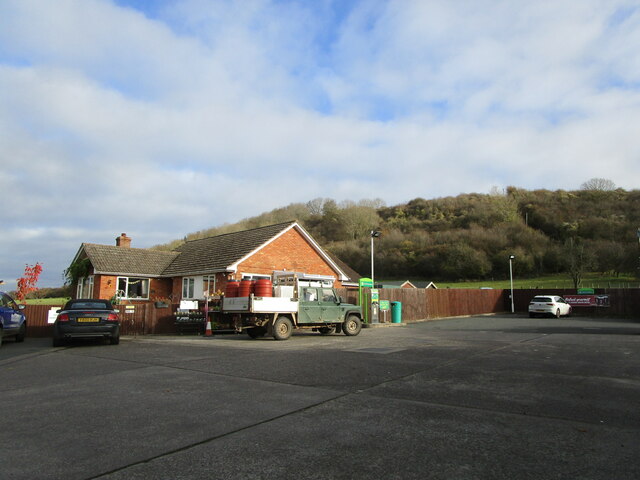
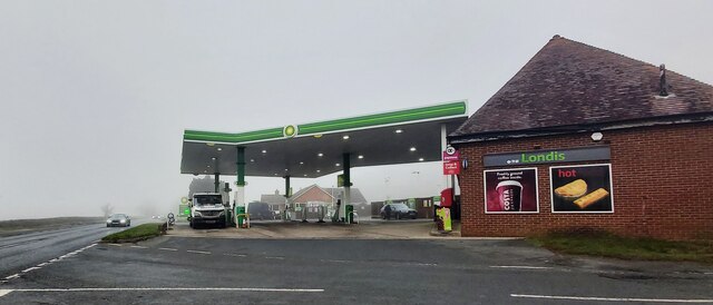
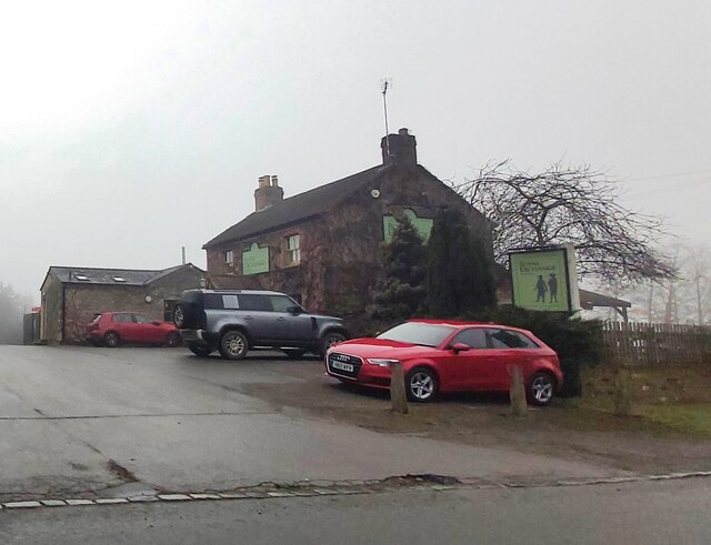
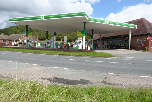
Images are sourced within 2km of 51.939673/-2.292485 or Grid Reference SO7926. Thanks to Geograph Open Source API. All images are credited.

Corse and Staunton Village Hall
Grass field adjacent to Lawn Farm
Grass field and Corse House Farm
Bungalow and Foscombe Hill
Trees by Gloucester Road, Corse
Crosshands Filling Station
Watersmeet Public House
The Royal Exchange Public House - Hartpury
A crop of maize A crop of maize beside the Whitmore Way in Corse.
A crop of maize
A crop of maize beside the Whitmore Way in Corse.
A BP petrol station A BP petrol station on the A417 to the north of Hartpury.
A BP petrol station
A BP petrol station on the A417 to the north of Hartpury.
Corse church Corse church is dedicated to St Margaret and dates from the 14th century.  The church is Grade I listed, see: <span class="nowrap"><a title="https://historicengland.org.uk/listing/the-list/list-entry/1078562?section=official-list-entry" rel="nofollow ugc noopener" href="https://historicengland.org.uk/listing/the-list/list-entry/1078562?section=official-list-entry">Link</a><img style="margin-left:2px;" alt="External link" title="External link - shift click to open in new window" src="https://s1.geograph.org.uk/img/external.png" width="10" height="10"/></span>
Corse church
Corse church is dedicated to St Margaret and dates from the 14th century. The church is Grade I listed, see: LinkExternal link
Corse church Corse church viewed from the east.  The church is dedicated to St Margaret and dates from the 14th century.  The church is Grade I listed, see: <span class="nowrap"><a title="https://historicengland.org.uk/listing/the-list/list-entry/1078562?section=official-list-entry" rel="nofollow ugc noopener" href="https://historicengland.org.uk/listing/the-list/list-entry/1078562?section=official-list-entry">Link</a><img style="margin-left:2px;" alt="External link" title="External link - shift click to open in new window" src="https://s1.geograph.org.uk/img/external.png" width="10" height="10"/></span>
Corse church
Corse church viewed from the east. The church is dedicated to St Margaret and dates from the 14th century. The church is Grade I listed, see: LinkExternal link
Corse Court Corse Court viewed from the churchyard.  The house has its origins as far back as the 14th century with alterations over the following centuries.  The house is Grade II* listed.  In the 16th century Corse Court was home to the Throckmorton family, who were prominent in Tudor England.  Throckmortons have lived in Coughton Court (now in the care of the National Trust) in Warwickshire since 1412.  A cadet branch of the family lived at Corse but through marriage descendants acquired Tortworth which is in South Gloucestershire.  There is a coat of arms <a href="https://www.geograph.org.uk/photo/5327273">SO7826 : Coat of Arms, Corse Court</a> on the gable to the Wood family c.1800.  The house is believed to have been owned by the Gloucester banker and miser Jemmy Wood.  The house is Grade II* listed, see: <span class="nowrap"><a title="https://historicengland.org.uk/listing/the-list/list-entry/1341953?section=official-list-entry" rel="nofollow ugc noopener" href="https://historicengland.org.uk/listing/the-list/list-entry/1341953?section=official-list-entry">Link</a><img style="margin-left:2px;" alt="External link" title="External link - shift click to open in new window" src="https://s1.geograph.org.uk/img/external.png" width="10" height="10"/></span>
Corse Court
Corse Court viewed from the churchyard. The house has its origins as far back as the 14th century with alterations over the following centuries. The house is Grade II* listed. In the 16th century Corse Court was home to the Throckmorton family, who were prominent in Tudor England. Throckmortons have lived in Coughton Court (now in the care of the National Trust) in Warwickshire since 1412. A cadet branch of the family lived at Corse but through marriage descendants acquired Tortworth which is in South Gloucestershire. There is a coat of arms SO7826 : Coat of Arms, Corse Court on the gable to the Wood family c.1800. The house is believed to have been owned by the Gloucester banker and miser Jemmy Wood. The house is Grade II* listed, see: LinkExternal link
Round straw bales Round straw bales in a harvested field near Corse House Farm.
Round straw bales
Round straw bales in a harvested field near Corse House Farm.
Round straw bales Round straw bales in a harvested field near Corse House Farm.
Round straw bales
Round straw bales in a harvested field near Corse House Farm.
Farmland near Corse House Farm
Footpath to Corse House Farm Footpath to Corse House Farm which can be seen in the background.
Footpath to Corse House Farm
Footpath to Corse House Farm which can be seen in the background.
Bridleway to Corse
Bridleway to Corse
Show me another place!

Foscombe Hill is located at Grid Ref: SO7926 (Lat: 51.939673, Lng: -2.292485)

Administrative County: Gloucestershire

District: Forest of Dean

Police Authority: Gloucestershire

What 3 Words

///paintings.bordering.casually. Near Corse, Gloucestershire

Nearby Locations

Foscombe Hill

Related Wikis

Foscombe

Foscombe is a grade II* listed country house in Ashleworth, Gloucestershire. It was built around 1860 in the Gothic Revival style for the personal use...

Corse, Gloucestershire

Corse is a village in the English county of Gloucestershire, next to the village of Staunton. The parish lies on the tongue of land between the River Severn...

Hartpury

Hartpury is a civil parish in Gloucestershire, England. It has an area of about 3,500 acres (1,400 ha), about 270 homes and a population of about 700 people...

Ashleworth Court

Ashleworth Court is a grade I listed house close to the River Severn in Ashleworth, Gloucestershire, England.The site has revealed pottery from Roman Britain...

Nearby Amenities

Located within 500m of 51.939673,-2.292485
Fuel
Crosshands Garage
Addr City: Gloucester
Addr Postcode: GL19 3BU
Brand: BP
Fhrs Id: 15078
Source Name: NaPTAN
Lat/Long: 51.9376519/-2.2955686
Bus Stop
Crosshands Garage
Bus: yes
Naptan AtcoCode: 1600GLN017
Naptan Bearing: NW
Naptan CommonName: Crosshands Garage
Naptan Indicator: before
Naptan NaptanCode: gloatmtw
Naptan Street: Lawn Road
Naptan Verified: no
Public Transport: platform
Source: naptan_import
Lat/Long: 51.9373312/-2.2953031
Bus Stop
Crosshands Garage
Bus: yes
Naptan AtcoCode: 1600GLN018
Naptan Bearing: SE
Naptan CommonName: Crosshands Garage
Naptan Indicator: after
Naptan NaptanCode: gloatmwa
Naptan Street: Lawn Road
Naptan Verified: no
Public Transport: platform
Source: naptan_import
Lat/Long: 51.937389/-2.2952674
Bus Stop
The Old Bakery
Bus: yes
Naptan AtcoCode: 1600GLN019
Naptan Bearing: NW
Naptan CommonName: The Old Bakery
Naptan Indicator: opp
Naptan NaptanCode: gloatmjm
Naptan Street: Gloucester Road
Naptan Verified: no
Public Transport: platform
Source: naptan_import
Lat/Long: 51.9418405/-2.297631
Bus Stop
The Old Bakery
Bus: yes
Naptan AtcoCode: 1600GLN020
Naptan Bearing: SE
Naptan CommonName: The Old Bakery
Naptan Indicator: by
Naptan NaptanCode: gloatmjp
Naptan Street: Gloucester Road
Naptan Verified: no
Public Transport: platform
Shelter: no
Source: naptan_import
Lat/Long: 51.9418768/-2.2975003
Post Box
Operator: Royal Mail
Post Box Type: lamp
Ref: GL19 40D
Royal Cypher: EIIR
Royal Cypher Wikidata: Q33102113
Lat/Long: 51.9375188/-2.2955269
Foscombe Hill
Natural: peak
Lat/Long: 51.9398556/-2.2912907
Shop: convenience
Lat/Long: 51.9375921/-2.2953849
Power: pole
Lat/Long: 51.9403925/-2.2982977
Power: pole
Lat/Long: 51.9409324/-2.2970505
Location Transition: yes
Power: pole
Lat/Long: 51.9411515/-2.2965811
Power: pole
Lat/Long: 51.9417789/-2.2951233
Power: pole
Lat/Long: 51.9423163/-2.2945587
Power: pole
Lat/Long: 51.9430662/-2.2937393
Power: pole
Lat/Long: 51.9436945/-2.2930822
Power: pole
Lat/Long: 51.9400097/-2.2991896
Foscombe
Location Transition: yes
Power: pole
Transformer: distribution
Voltage Primary: 11000
Lat/Long: 51.9378584/-2.2945051
Crosshand Farm
Power: pole
Transformer: distribution
Voltage Primary: 11000
Lat/Long: 51.9418678/-2.2965845
Foscombe House - Trans
Power: pole
Transformer: distribution
Voltage Primary: 11000
Lat/Long: 51.9395653/-2.292932
North Lodge
Power: pole
Transformer: distribution
Voltage Primary: 11000
Lat/Long: 51.9398737/-2.292818
Power: pole
Lat/Long: 51.9400733/-2.292757
Power: pole
Lat/Long: 51.9406628/-2.2926001
Power: pole
Lat/Long: 51.9413598/-2.2924022
Power: pole
Lat/Long: 51.941922/-2.2935918
The data included in this document is from www.openstreetmap.org. The data is made available under ODbL.

Have you been to Foscombe Hill?

Leave your review of Foscombe Hill below (or comments, questions and feedback).