West Hill
Hill, Mountain in Gloucestershire Stroud
England
West Hill
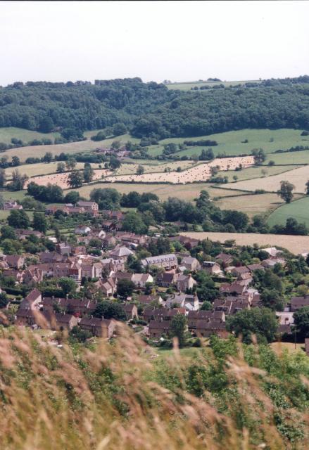
West Hill, Gloucestershire is a prominent hill located in the county of Gloucestershire, England. It is part of the Cotswold Hills, a range of rolling hills known for their scenic beauty and rich history. West Hill itself is situated near the town of Painswick, approximately 10 miles southwest of the city of Gloucester.
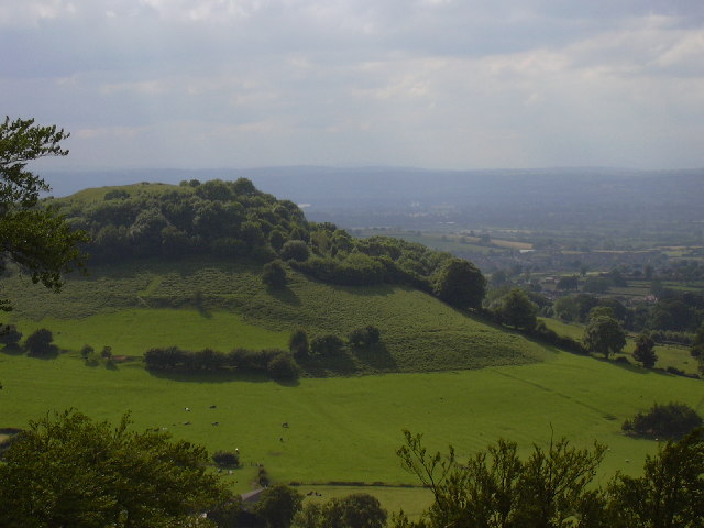
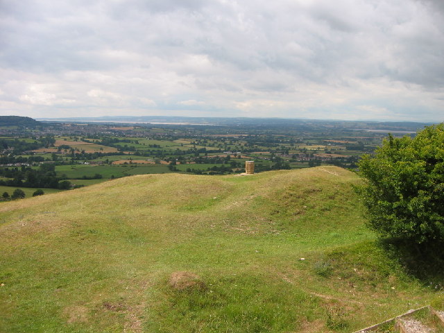
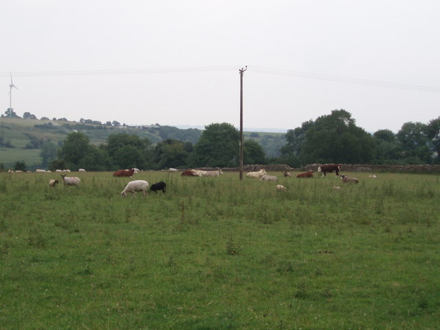
Rising to a height of around 236 meters (774 feet), West Hill offers stunning panoramic views of the surrounding countryside. It is renowned for its picturesque landscapes, with verdant fields, charming villages, and historic landmarks dotting the horizon. The hill is covered in lush greenery, particularly during the summer months when wildflowers bloom, adding a splash of color to the scenery.
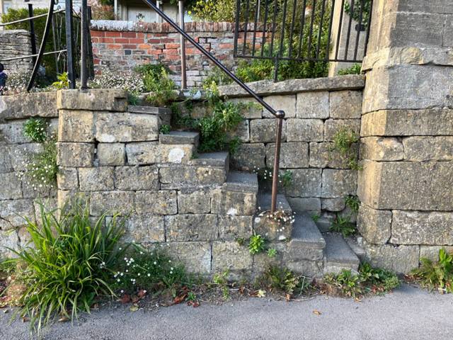
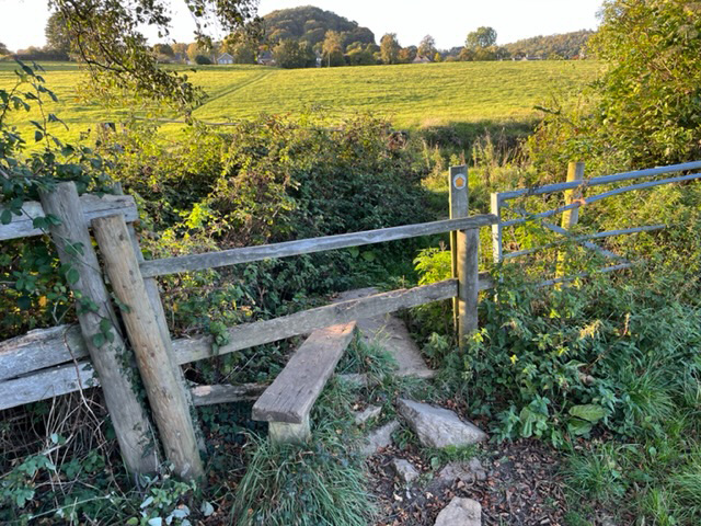
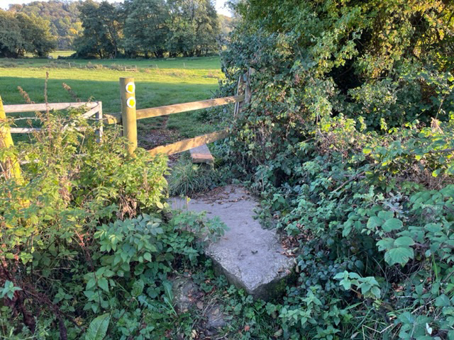
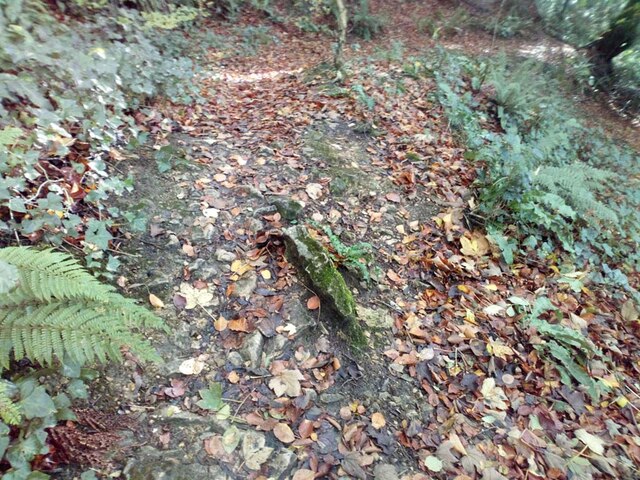
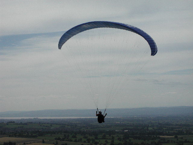
West Hill is a popular destination for outdoor enthusiasts, hikers, and nature lovers. It features a network of well-maintained footpaths and trails, allowing visitors to explore its diverse terrain. The hill is also home to an abundance of wildlife, including various bird species, rabbits, and deer, making it an ideal spot for birdwatching and wildlife photography.
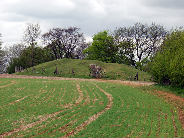
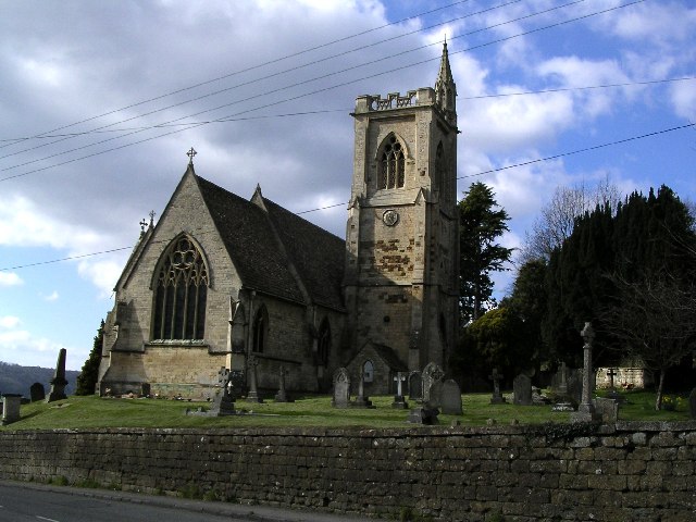
In addition to its natural beauty, West Hill boasts a rich historical heritage. The area is dotted with ancient burial mounds and prehistoric remains, reflecting its significance in the region's past. It is also home to Painswick Rococo Garden, a magnificent 18th-century garden known for its intricate design and ornate architecture.
Overall, West Hill, Gloucestershire offers a captivating blend of natural beauty, historical significance, and recreational opportunities, making it a must-visit destination for both locals and tourists alike.
If you have any feedback on the listing, please let us know in the comments section below.
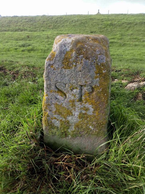
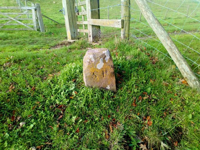
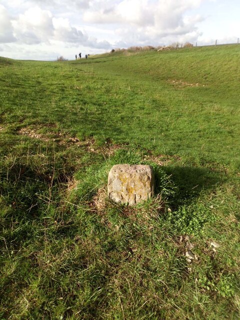
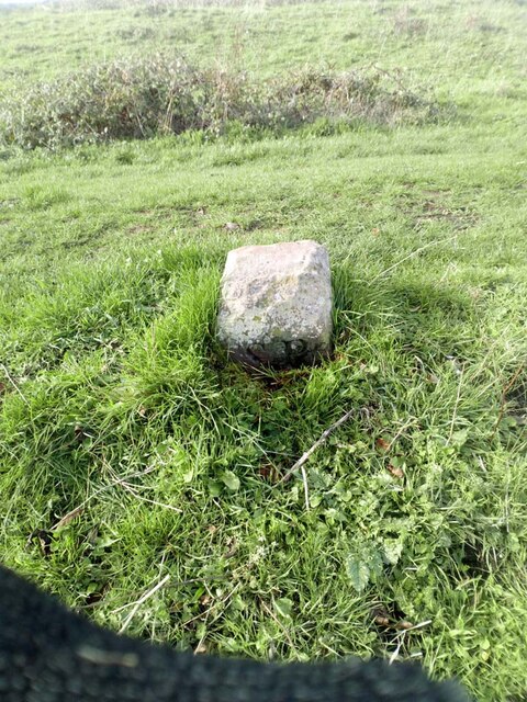
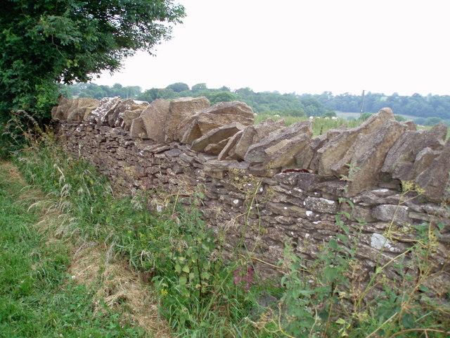
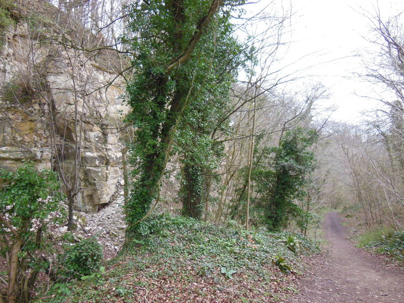
West Hill Images
Images are sourced within 2km of 51.69601/-2.3057692 or Grid Reference ST7899. Thanks to Geograph Open Source API. All images are credited.

West Hill is located at Grid Ref: ST7899 (Lat: 51.69601, Lng: -2.3057692)
Administrative County: Gloucestershire
District: Stroud
Police Authority: Gloucestershire
What 3 Words
///octagon.spearhead.commutes. Near Dursley, Gloucestershire
Nearby Locations
Related Wikis

Uley Long Barrow
Uley Long Barrow, also known locally as Hetty Pegler's Tump, is a Neolithic burial mound, near the village of Uley, Gloucestershire, England. == Details... ==
Coaley Wood Quarries
Coaley Wood Quarries (grid reference ST786996) is a 4.85-hectare (12.0-acre) geological Site of Special Scientific Interest in Gloucestershire, notified...

Uley Bury
Uley Bury is the long, flat-topped hill just outside Uley, Gloucestershire, England. It is an impressive multi-vallate, scarp-edge Iron Age hill fort dating...

Uley
Uley is a village and civil parish in the county of Gloucestershire, England. The parish includes the hamlets of Elcombe and Shadwell and Bencombe, all...

Nympsfield
Nympsfield is a village and civil parish in the English county of Gloucestershire. It is located around four miles south-west of the town of Stroud. As...

Owlpen
Owlpen is a small village and civil parish in the Stroud district of Gloucestershire, England, set in a valley in the Cotswold hills. It is about one mile...

Coaley Peak
Coaley Peak is a picnic site and viewpoint in the English county of Gloucestershire. Located about 4 miles (6.4 km) south-west of the town of Stroud overlooking...
Owlpen Manor
Owlpen Manor is a Tudor Grade I listed manor house of the Mander family, situated in the village of Owlpen in the Stroud district in Gloucestershire, England...
Nearby Amenities
Located within 500m of 51.69601,-2.3057692Have you been to West Hill?
Leave your review of West Hill below (or comments, questions and feedback).