Gerna Hill
Hill, Mountain in Lancashire Ribble Valley
England
Gerna Hill

Gerna Hill is a small hill located in the county of Lancashire, England. Situated in the West Pennine Moors, it is part of the larger moorland area known as the West Pennine Moors, which spans across Lancashire and Greater Manchester. Gerna Hill itself is found near the village of Belmont, approximately 7 miles northwest of the town of Bolton.
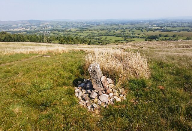
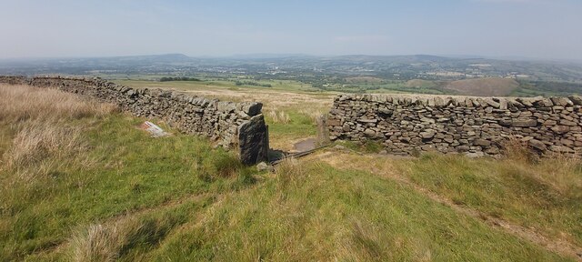
With an elevation of approximately 1,000 feet (305 meters), Gerna Hill is not considered a mountain but rather a modest-sized hill. It offers panoramic views of the surrounding countryside, including the nearby towns and villages, as well as the expansive moorland. The hill is covered in heather, grasses, and scattered trees, creating a picturesque landscape particularly during the summer months.
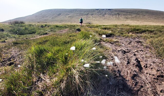
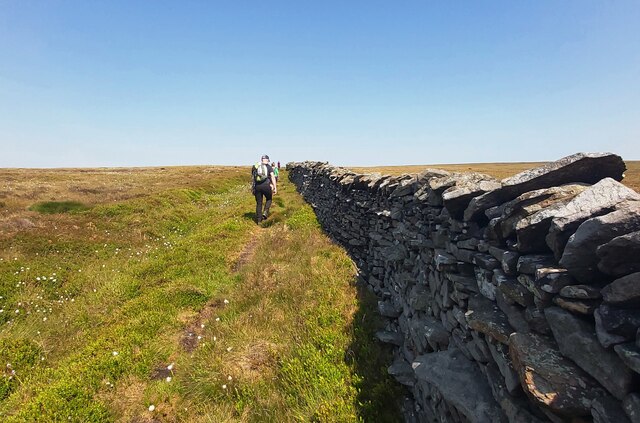
Gerna Hill is a popular destination for outdoor enthusiasts, nature lovers, and hikers. There are several footpaths and trails leading to the top, providing visitors with the opportunity to explore the area's natural beauty and enjoy the fresh air. The hill also attracts birdwatchers, as it is known for its diverse bird population, including species such as curlews, lapwings, and kestrels.
Despite its relatively modest size, Gerna Hill holds historical significance. It is believed to have been used as a beacon site during the English Civil War, serving as a communication point to relay messages across the region. Today, the hill serves as a peaceful retreat and a place for locals and tourists alike to connect with nature and appreciate the scenic beauty of Lancashire's countryside.
If you have any feedback on the listing, please let us know in the comments section below.
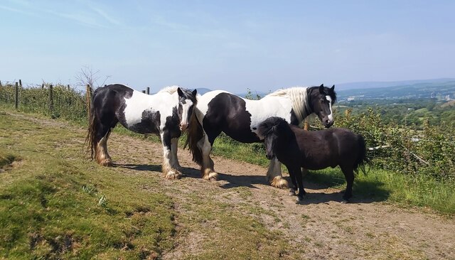
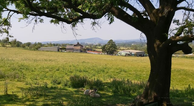
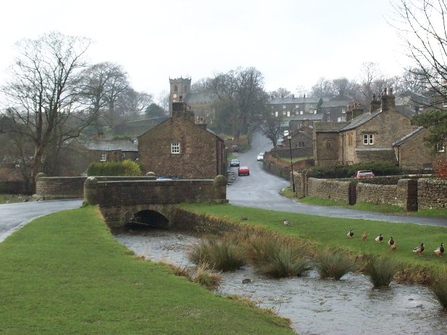
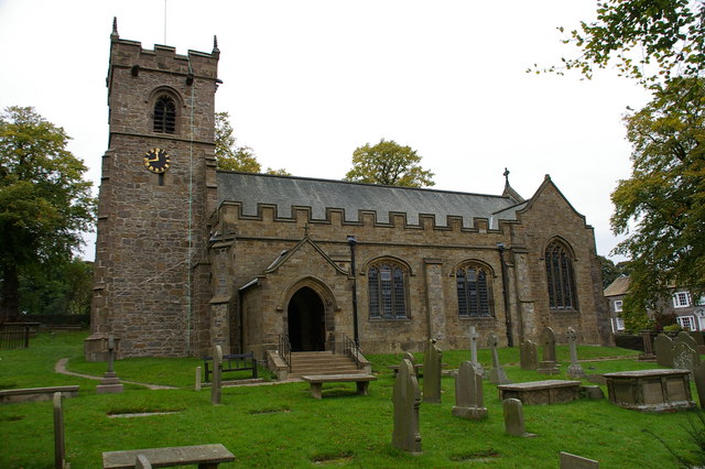
Gerna Hill Images
Images are sourced within 2km of 53.887216/-2.3221224 or Grid Reference SD7843. Thanks to Geograph Open Source API. All images are credited.


Gerna Hill is located at Grid Ref: SD7843 (Lat: 53.887216, Lng: -2.3221224)
Administrative County: Lancashire
District: Ribble Valley
Police Authority: Lancashire
What 3 Words
///excavate.skunks.daredevil. Near Chatburn, Lancashire
Nearby Locations
Related Wikis
Downham, Lancashire
Downham is a village and civil parish in Lancashire, England. It is in the Ribble Valley district and at the United Kingdom 2001 census had a population...
St Leonard's Church, Downham
St Leonard's Church is in the village of Downham, Lancashire, England. It is an active Anglican parish church in the diocese of Blackburn. The tower...
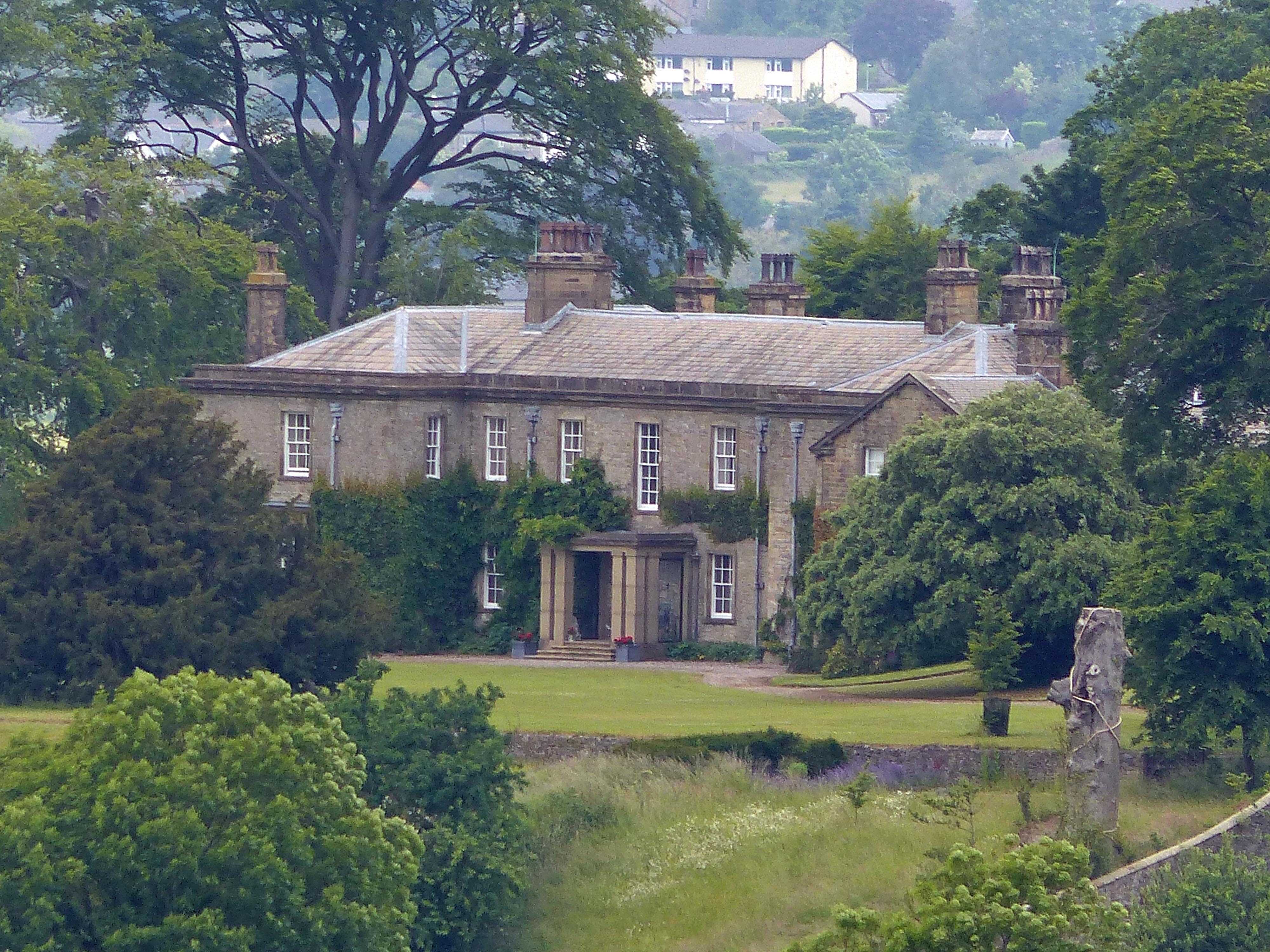
Downham Hall
Downham Hall is an English country house in Downham, Lancashire, England. == Overview == Downham Hall was designed by George Webster (1797–1864) in 1835...

Christ Church, Chatburn
Christ Church is in the village of Chatburn, Lancashire, England. It is an active Anglican parish church in the deanery of Whalley, the archdeaconry of...

Worston
Worston is a small linear village and civil parish in Lancashire, England. The village is north-west of Pendle Hill, east of Clitheroe, and is in the Ribble...

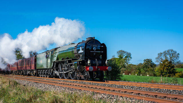
Chatburn railway station
Chatburn railway station once served the small village of Chatburn in Lancashire, England. == History == The original single line opened in June 1850 and...

Twiston
Twiston is a village and a civil parish in the Ribble Valley District, in the English county of Lancashire. It is near the town of Clitheroe and the village...

Pendle Hill
Pendle Hill is in the east of Lancashire, England, near the towns of Burnley, Nelson, Colne, Brierfield, Clitheroe and Padiham. Its summit is 557 metres...
Nearby Amenities
Located within 500m of 53.887216,-2.3221224Have you been to Gerna Hill?
Leave your review of Gerna Hill below (or comments, questions and feedback).