Ridding Wood
Wood, Forest in Lancashire Ribble Valley
England
Ridding Wood
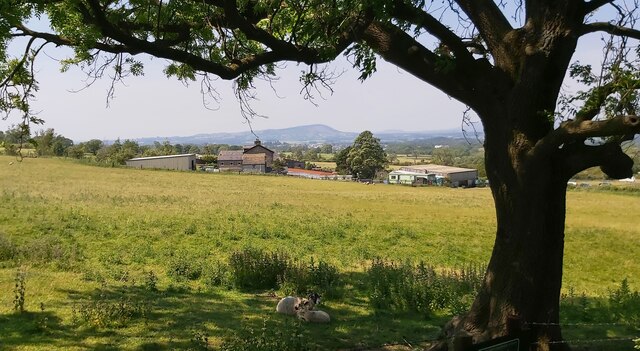
Ridding Wood, located in Lancashire, England, is a picturesque forest that covers an area of approximately 2,000 acres. It is nestled in the heart of the county, offering visitors a serene and tranquil escape from the bustling city life. The wood is easily accessible, situated just a few miles away from the town of Wood.
The woodland boasts an impressive diversity of flora and fauna, making it a haven for nature enthusiasts. It is home to a wide array of tree species, including oak, beech, and birch, which create a dense and lush canopy. The forest floor is adorned with vibrant wildflowers and moss-covered stones, adding to its natural beauty.
Ridding Wood has a network of well-maintained walking trails, allowing visitors to explore the forest at their own pace. These paths lead to hidden gems, such as enchanting glens, babbling brooks, and secluded picnic spots. The wood is also a popular spot for birdwatching, with various species of birds, including woodpeckers and owls, calling it their home.
Throughout the year, Ridding Wood hosts numerous events and activities for all ages. These include guided nature walks, educational programs, and seasonal celebrations. Visitors can also partake in recreational activities like cycling, horseback riding, and camping, all while immersing themselves in the natural wonders of the forest.
Ridding Wood, Lancashire, truly offers a sanctuary for those seeking solace in nature. Its beauty, tranquility, and abundant wildlife make it a beloved destination for locals and tourists alike.
If you have any feedback on the listing, please let us know in the comments section below.
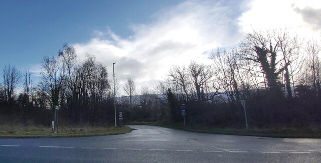
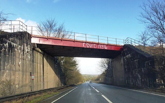
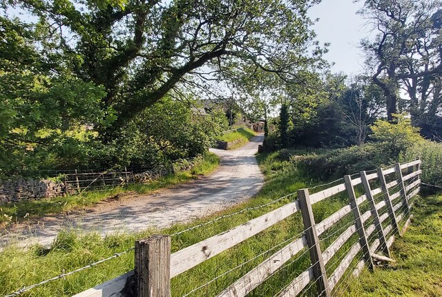
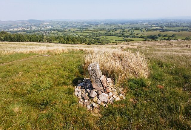
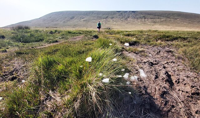
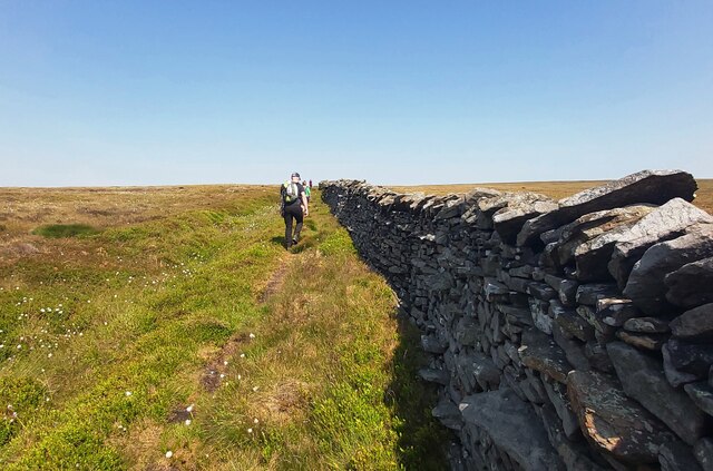
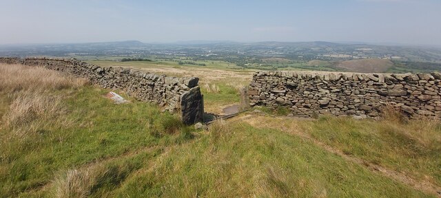
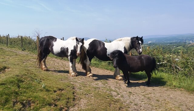
Ridding Wood Images
Images are sourced within 2km of 53.883372/-2.3277824 or Grid Reference SD7843. Thanks to Geograph Open Source API. All images are credited.


Ridding Wood is located at Grid Ref: SD7843 (Lat: 53.883372, Lng: -2.3277824)
Administrative County: Lancashire
District: Ribble Valley
Police Authority: Lancashire
What 3 Words
///shipwreck.hurry.speakers. Near Chatburn, Lancashire
Nearby Locations
Related Wikis
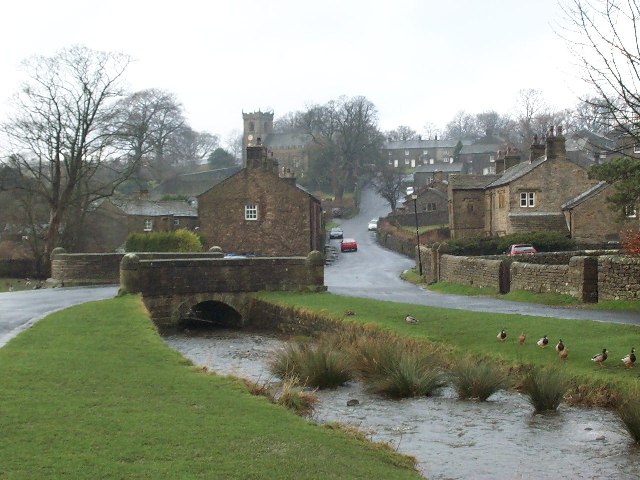
Downham, Lancashire
Downham is a village and civil parish in Lancashire, England. It is in the Ribble Valley district and at the United Kingdom 2001 census had a population...
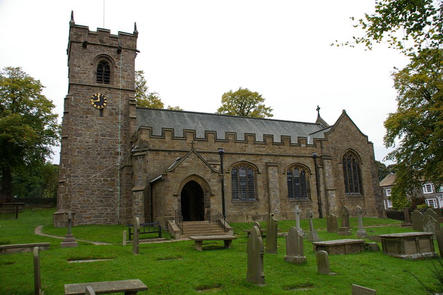
St Leonard's Church, Downham
St Leonard's Church is in the village of Downham, Lancashire, England. It is an active Anglican parish church in the diocese of Blackburn. The tower...
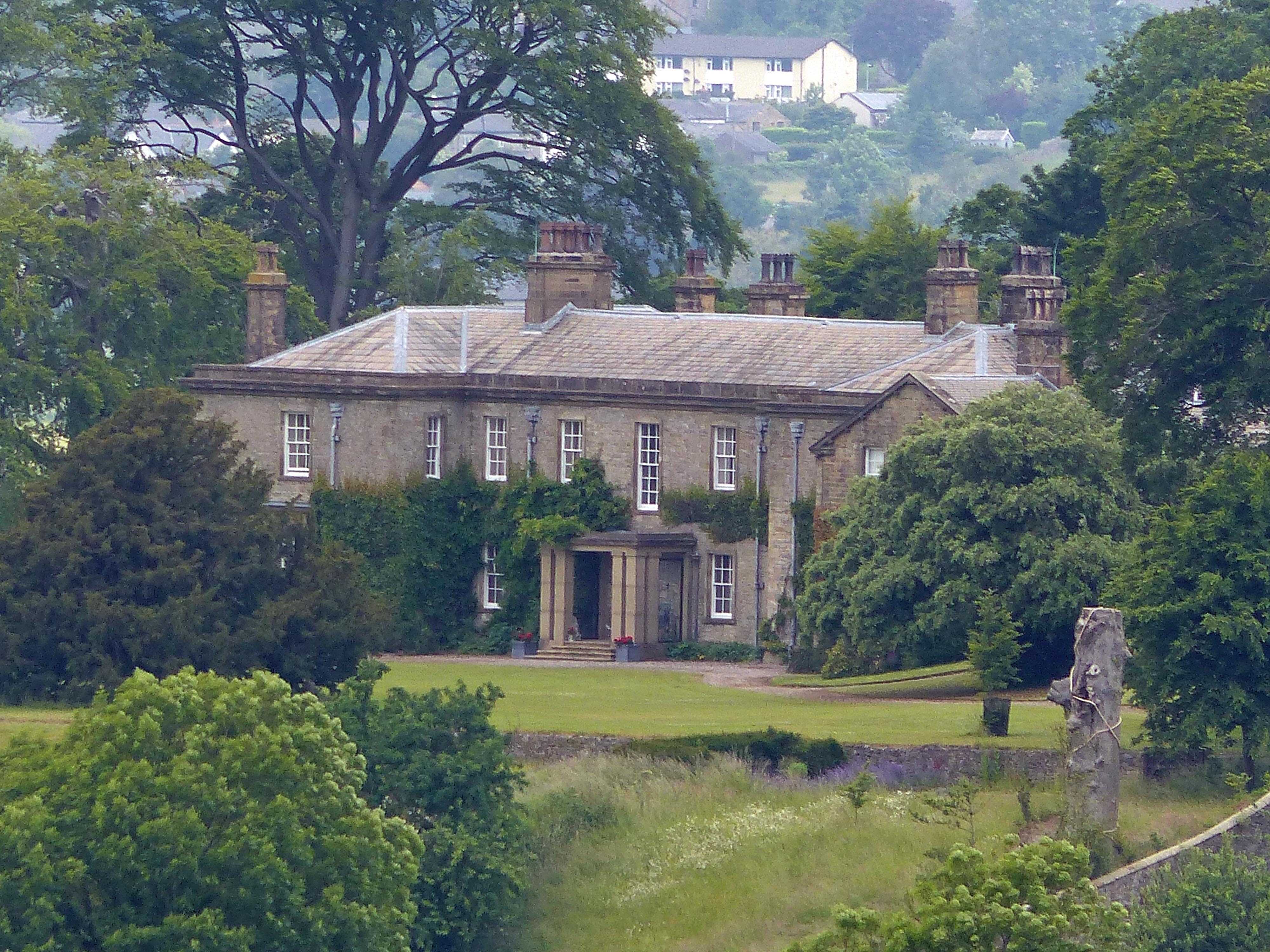
Downham Hall
Downham Hall is an English country house in Downham, Lancashire, England. == Overview == Downham Hall was designed by George Webster (1797–1864) in 1835...

Worston
Worston is a small linear village and civil parish in Lancashire, England. The village is north-west of Pendle Hill, east of Clitheroe, and is in the Ribble...
Nearby Amenities
Located within 500m of 53.883372,-2.3277824Have you been to Ridding Wood?
Leave your review of Ridding Wood below (or comments, questions and feedback).