Harden Edge

Hill, Mountain in Northumberland

England

Harden Edge

Bridge over Cottonshope Burn On a remote range road during the 'open' month.
Bridge over Cottonshope Burn Credit: Russel Wills

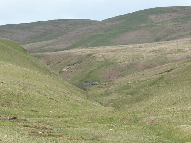
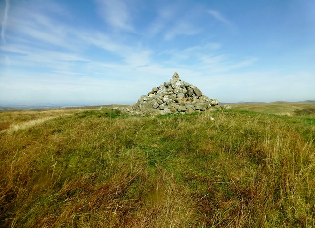
Harden Edge is a prominent hill located in the county of Northumberland, England. Situated near the village of Allenheads, it forms part of the North Pennines Area of Outstanding Natural Beauty. Standing at an elevation of approximately 524 meters (1,719 feet), it offers breathtaking panoramic views of the surrounding countryside.

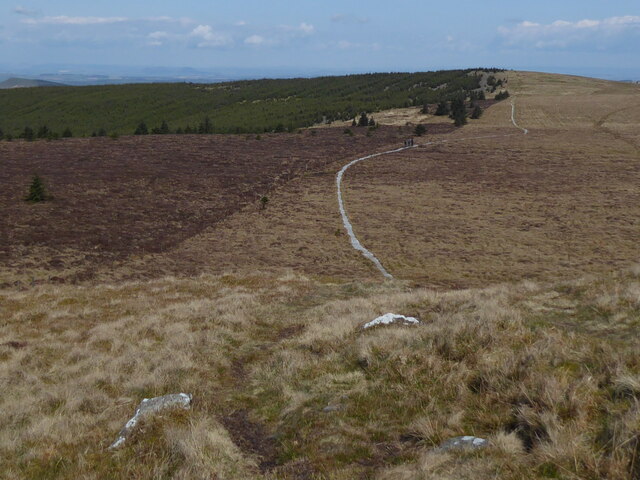
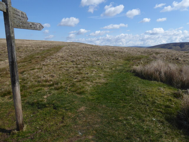
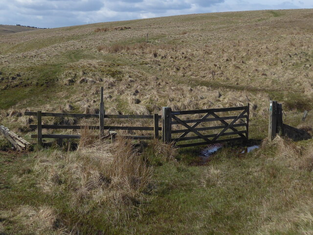
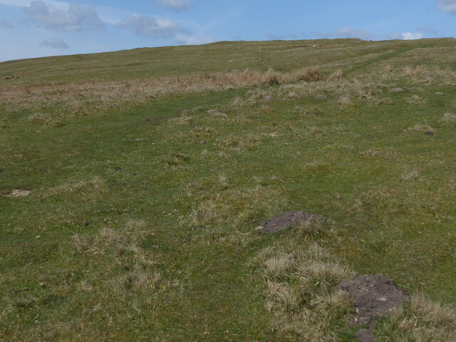
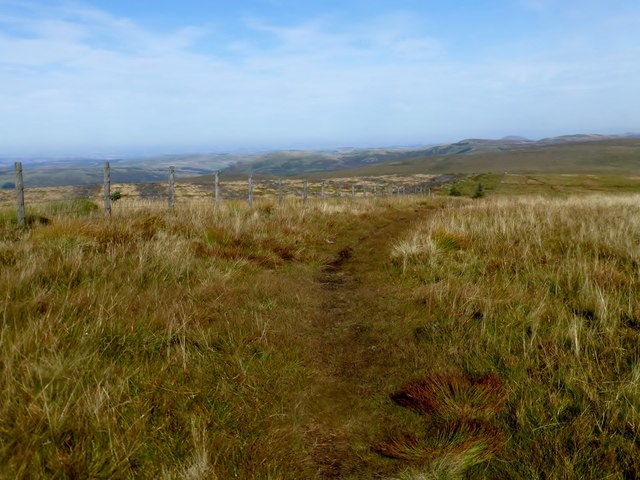
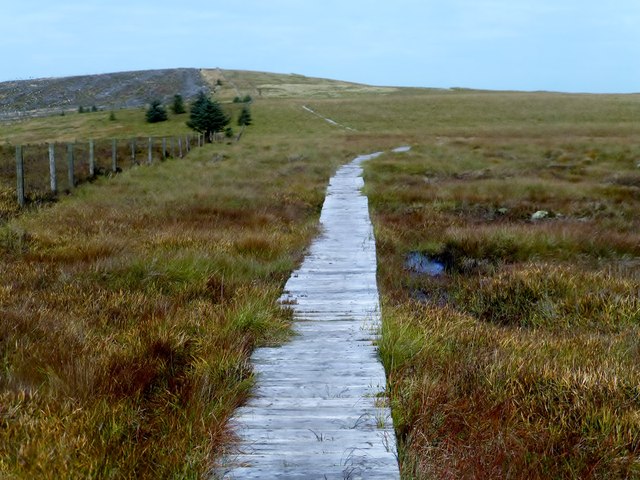
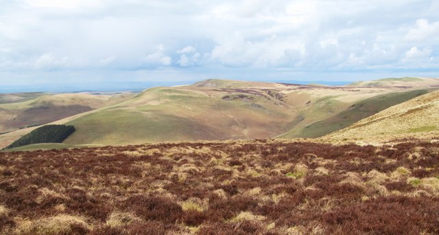
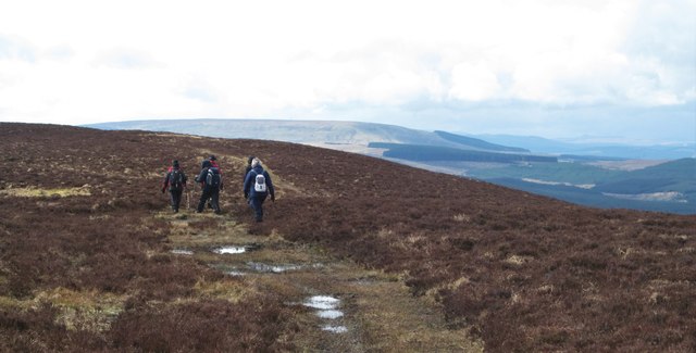
The hill is known for its rugged and rocky terrain, with steep slopes and craggy outcrops. It is a popular destination for outdoor enthusiasts, including hikers, walkers, and climbers, who are drawn to its challenging trails and stunning vistas. The surrounding area is characterized by a mix of open moorland, heather, and grassy slopes, adding to the hill's natural beauty.

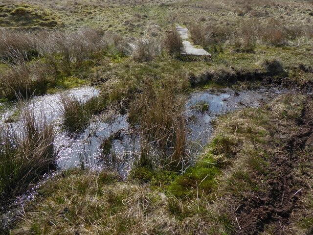
Harden Edge is home to a diverse range of flora and fauna, making it a haven for nature lovers. The hillside is covered in a patchwork of colorful wildflowers during the summer months, attracting a variety of butterflies and insects. Additionally, the area is inhabited by a range of bird species, including curlews, golden plovers, and red grouse.

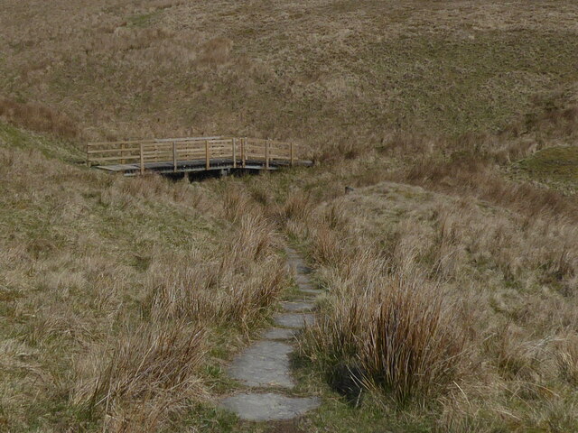
Visitors to Harden Edge can enjoy a range of activities, from leisurely walks to more challenging hikes. The hill is accessible via well-marked footpaths, and there are also opportunities for rock climbing for those seeking a more adrenaline-fueled adventure.

Overall, Harden Edge is a natural gem in Northumberland, offering visitors the chance to immerse themselves in the stunning landscapes and diverse wildlife of the North Pennines.

If you have any feedback on the listing, please let us know in the comments section below.

Harden Edge Images

Images are sourced within 2km of 55.359409/-2.3390088 or Grid Reference NT7807. Thanks to Geograph Open Source API. All images are credited.

Bridge over Cottonshope Burn On a remote range road during the 'open' month.
Bridge over Cottonshope Burn
On a remote range road during the 'open' month.
Sheepfold beside Fool Sike In Canker Cleugh.
Sheepfold beside Fool Sike
In Canker Cleugh.
Field with broken down dry stone walls Above the Cottonshope Burn.
Field with broken down dry stone walls
Above the Cottonshope Burn.
The Pennine Way near Ravens Pike
The Pennine Way near Ogre Hill
The Pennine Way near Coquet Head
The Pennine Way near River Coquet
The Pennine Way at the SE corner of the Roman Camp
The Pennine Way near Chew Sike
At the Roman camp remains, Chew Green  Quad bike tracks and archaeological site warning signs - make of that what you will.
At the Roman camp remains, Chew Green
Quad bike tracks and archaeological site warning signs - make of that what you will.
Ravens Knowe Bagged with Adrian Dust after parking at Carter Bar. Wooplaw Edge, Leap Hill, Hungry Law, Greyhound Law and then Ravens Knowe before heading to the Cottonshope road to walk back to collect Dusty's car from the campsite opposite this road beside the A68.
Name: Ravens Knowe
Hill number: 3553
Height: 527m / 1729ft
Parent (Ma/M): 2302  The Cheviot
Section: 33: The Scottish Border to the River Tyne
Area: The Cheviots
County/UA: Northumberland (CoU)
Class: Dewey
Grid ref: NT 78017 06211
Summit feature: large cairn
Drop: 34m
Col: 493m  NT778072
Ravens Knowe
Bagged with Adrian Dust after parking at Carter Bar. Wooplaw Edge, Leap Hill, Hungry Law, Greyhound Law and then Ravens Knowe before heading to the Cottonshope road to walk back to collect Dusty's car from the campsite opposite this road beside the A68. Name: Ravens Knowe Hill number: 3553 Height: 527m / 1729ft Parent (Ma/M): 2302 The Cheviot Section: 33: The Scottish Border to the River Tyne Area: The Cheviots County/UA: Northumberland (CoU) Class: Dewey Grid ref: NT 78017 06211 Summit feature: large cairn Drop: 34m Col: 493m NT778072
En Route To Ravens Knowe We used a footpath that kept out of the forest aiming NE to join the Pennine Way on our route between Greyhound Law and Ravens Knowe.
En Route To Ravens Knowe
We used a footpath that kept out of the forest aiming NE to join the Pennine Way on our route between Greyhound Law and Ravens Knowe.
Looking Northwards Along The Pennine Way
Boardwalk Looking Northward Towards Ogre Hill This boardwalk takes the Pennine Way across some very boggy ground between Ravens Knowe and Ogre Hill.
Boardwalk Looking Northward Towards Ogre Hill
This boardwalk takes the Pennine Way across some very boggy ground between Ravens Knowe and Ogre Hill.
Waymarker post on Brownhart Law The comfort of a green dotted line on the map and also a waymarker to show that we are just on the English side of the border. Scotland [with heather] appears on the right hand edge of the photo.
Waymarker post on Brownhart Law
The comfort of a green dotted line on the map and also a waymarker to show that we are just on the English side of the border. Scotland [with heather] appears on the right hand edge of the photo.
Scottish heather Having just crossed the border fence via a gate, the land immediately changes from rough moorland grasses to heather clad hilltops, although there's nothing to suggest that this might be a grouse moor due to a lack of grouse and butts.
Scottish heather
Having just crossed the border fence via a gate, the land immediately changes from rough moorland grasses to heather clad hilltops, although there's nothing to suggest that this might be a grouse moor due to a lack of grouse and butts.
Sneaking into Scotland A rather soggy track on the Scottish side of the border fence. There were no guards at the crossing point and not even a kilted piper, so slightly disappointing.
Sneaking into Scotland
A rather soggy track on the Scottish side of the border fence. There were no guards at the crossing point and not even a kilted piper, so slightly disappointing.
Show me another place!

Harden Edge is located at Grid Ref: NT7807 (Lat: 55.359409, Lng: -2.3390088)

Unitary Authority: Northumberland

Police Authority: Northumbria

What 3 Words

///ankle.joggers.lingering. Near Rochester, Northumberland

Nearby Locations

Harden Edge

Related Wikis

Chew Green

Chew Green is the site of the ancient Roman encampment, commonly but erroneously called Ad Fines (Latin: The Limits) on the 1885-1900 edition of the Ordnance...

Featherwood Roman Camps

Featherwood Roman Camps are neighbouring archaeological sites in Northumberland, England, 1 mile (1.6 km) north of Featherwood and about 3 miles (5 km...

Byrness

Byrness is a village within Rochester civil parish in Northumberland, England. It is approximately 37 miles (60 km) north-west of Newcastle upon Tyne on...

Ramshope

Ramshope is a hamlet and former civil parish, now in the parish of Rochester in Northumberland, England located in Northumberland National Park. It lies...

Nearby Amenities

Located within 500m of 55.359409,-2.3390088
Harden Edge
Place: locality
Lat/Long: 55.3584451/-2.3382778
The data included in this document is from www.openstreetmap.org. The data is made available under ODbL.

Have you been to Harden Edge?

Leave your review of Harden Edge below (or comments, questions and feedback).