Belling Rigg

Hill, Mountain in Northumberland

England

Belling Rigg

A few straggly trees All that remains of the plantation seen in <a href="https://www.geograph.org.uk/photo/3572853">NY7990 : Gate into plantation near Burdonside Farm</a>.
A few straggly trees Credit: Oliver Dixon

Belling Rigg is a prominent hill located in the county of Northumberland, England. Situated in the northern part of the county, it is part of the picturesque North Pennines Area of Outstanding Natural Beauty. Belling Rigg stands at an elevation of approximately 550 meters (1,800 feet) above sea level, making it a notable feature in the surrounding landscape.

This hill is characterized by its rugged terrain and distinctive shape, with steep slopes and rocky outcrops. It is predominantly composed of limestone, which adds to its scenic appeal. Belling Rigg offers stunning panoramic views of the surrounding countryside, including the rolling hills, meandering rivers, and quaint villages that dot the region.

The hill is a popular destination for outdoor enthusiasts, particularly hikers and walkers, who are drawn to its natural beauty and challenging terrain. There are several footpaths and trails that traverse Belling Rigg, allowing visitors to explore its slopes and reach its summit. The hill also offers opportunities for birdwatching and wildlife spotting, as it is home to a variety of plant and animal species, including heather, wildflowers, and birds of prey.

Belling Rigg is easily accessible, with nearby parking facilities and public transportation options available. Its location in the North Pennines makes it a convenient day trip destination for both locals and tourists visiting the area. Whether it be for recreational activities or simply to admire the stunning vistas, Belling Rigg offers a memorable experience for nature lovers and outdoor enthusiasts alike.

If you have any feedback on the listing, please let us know in the comments section below.
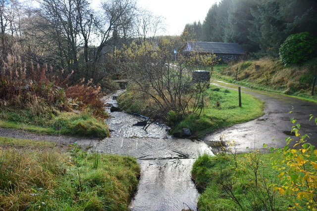
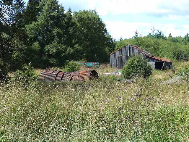
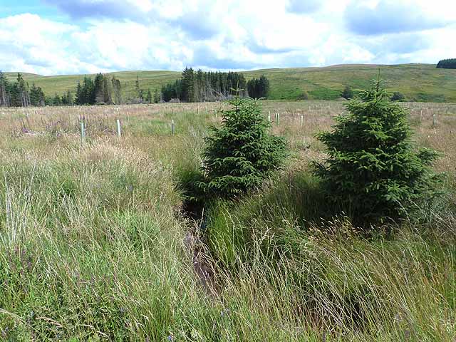
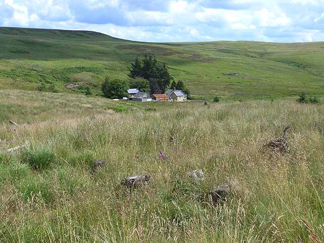
Belling Rigg Images

Images are sourced within 2km of 55.208854/-2.3381201 or Grid Reference NY7890. Thanks to Geograph Open Source API. All images are credited.

A few straggly trees All that remains of the plantation seen in <a href="https://www.geograph.org.uk/photo/3572853">NY7990 : Gate into plantation near Burdonside Farm</a>.
A few straggly trees
All that remains of the plantation seen in NY7990 : Gate into plantation near Burdonside Farm.
Northern Bastle at Black Middens Only the lower courses of this bastle survive.
Northern Bastle at Black Middens
Only the lower courses of this bastle survive.
Ford at Waterhead This ford on the Tarset Burn is found at Waterhead just beyond the ford at Shipley Shiels. The ford can also be seen at:
<a title="https://www.geograph.org.uk/photo/3608601" href="https://www.geograph.org.uk/photo/3608601">Link</a>
Ford at Waterhead
This ford on the Tarset Burn is found at Waterhead just beyond the ford at Shipley Shiels. The ford can also be seen at: Link
Moorland behind Black Middens Bastle House Land suitable only for sheep farming.
Moorland behind Black Middens Bastle House
Land suitable only for sheep farming.
Ford and Footbridge, Tarset Burn
Ford on the Tarset Burn
Cottage near Tarset Burn
Forest shed, Comb
Forest shed, Comb
Rope bridge over Tarset Burn Presumably one of the challenges provided by the Forest Lodge at Comb nearby which offers leadership and development courses. The bridge is not of much practical use - it leads straight into an impenetrable thicket.
Rope bridge over Tarset Burn
Presumably one of the challenges provided by the Forest Lodge at Comb nearby which offers leadership and development courses. The bridge is not of much practical use - it leads straight into an impenetrable thicket.
Windblow on Gillie Hill Large areas of forest are regularly destroyed by strong winds. Once one of the shallow-rooted, closely-spaced conifers blows over, they all go.
Windblow on Gillie Hill
Large areas of forest are regularly destroyed by strong winds. Once one of the shallow-rooted, closely-spaced conifers blows over, they all go.
Birkley Wood An old stand of trees near Gillie Hill. In the foreground, Tuley tubes are in place to protect young saplings.
Birkley Wood
An old stand of trees near Gillie Hill. In the foreground, Tuley tubes are in place to protect young saplings.
New planting near Birkley Wood Tuley tubes are in place to protect young saplings. Looking towards the valley of the Black Burn.
New planting near Birkley Wood
Tuley tubes are in place to protect young saplings. Looking towards the valley of the Black Burn.
Ridley Shiel Looking from an area of clearfell on the edge of the forest towards the valley of the Black Burn and Ridley Shiel farm <a href="https://www.geograph.org.uk/gridref/NY7892">NY7892</a>.
Ridley Shiel
Looking from an area of clearfell on the edge of the forest towards the valley of the Black Burn and Ridley Shiel farm NY7892.
Gate into plantation near Burdonside Farm
Ford at Waterhead Over the Black Linn Burn, a ford on the private road leading to Waterhead.
Ford at Waterhead
Over the Black Linn Burn, a ford on the private road leading to Waterhead.
Autumn colours on Black Burn Viewed from the top of the bastle steps.
Autumn colours on Black Burn
Viewed from the top of the bastle steps.
Black Middens from the north
Show me another place!

Belling Rigg is located at Grid Ref: NY7890 (Lat: 55.208854, Lng: -2.3381201)

Unitary Authority: Northumberland

Police Authority: Northumbria

What 3 Words

///missions.watchdogs.exacted. Near Rochester, Northumberland

Nearby Locations

Belling Rigg

Related Wikis

Black Middens Bastle House

Black Middens Bastle House lies about 7 miles (11 km) northwest of Bellingham, Northumberland. It is a two-storey fortified stone farmhouse from the 16th...

Thorneyburn

Thorneyburn is a village and former civil parish, now in the parish of Tarset, in Northumberland, England, to the northwest of Bellingham. In 1951 the...

Thorneyburn railway station

Thorneyburn railway station served the village of Thorneyburn, Northumberland, England from 1861 to 1956 on the Border Counties Railway. == History... ==

Border Moors and Forests

Border Moors and Forests NCA is an upland plateau region in Northern England between the North East and North West regions, and touching the Anglo-Scottish...

Nearby Amenities

Located within 500m of 55.208854,-2.3381201
Belling Rigg
Place: locality
Lat/Long: 55.2073876/-2.3355907
Natural: peak
Lat/Long: 55.2088205/-2.3376507
The data included in this document is from www.openstreetmap.org. The data is made available under ODbL.

Have you been to Belling Rigg?

Leave your review of Belling Rigg below (or comments, questions and feedback).