Banff Hill

Hill, Mountain in Kincardineshire

Scotland

Banff Hill

Entering the woodland surrounding Banff Burn Photographer is standing on the roadway verge.
Entering the woodland surrounding Banff Burn Credit: C Michael Hogan

Banff Hill is a prominent hill located in Kincardineshire, Scotland. Situated in the northeastern part of the country, the hill stands at an elevation of approximately 210 meters (689 feet) above sea level. It is known for its distinctive cone-shaped summit, providing breathtaking panoramic views of the surrounding landscape.

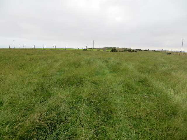
Covered in lush greenery and heather, Banff Hill is a popular destination for outdoor enthusiasts, hikers, and nature lovers. The hill is accessible via well-maintained footpaths that wind their way through the picturesque countryside. As visitors ascend the hill, they can enjoy the diverse flora and fauna that inhabit the area, including various bird species and indigenous plant life.

Atop Banff Hill, visitors are rewarded with unparalleled views of the scenic landscape. On a clear day, the eye-catching beauty of the North Sea can be seen in the distance, while the rolling hills and farmland stretch out to the horizon. Additionally, the nearby town of Banff, after which the hill is named, can be seen nestled below, adding to the charm of the vista.

Banff Hill holds historical significance as well. It is believed that the hill was once the site of an Iron Age fort, as remnants of ancient earthworks and defensive structures have been discovered in the vicinity. These archaeological findings add another layer of intrigue to the already captivating allure of Banff Hill.

In conclusion, Banff Hill in Kincardineshire is a magnificent natural landmark that offers visitors the opportunity to immerse themselves in Scotland's stunning beauty. With its striking summit, abundant wildlife, and mesmerizing views, the hill is a must-visit destination for those seeking an unforgettable outdoor experience.

If you have any feedback on the listing, please let us know in the comments section below.
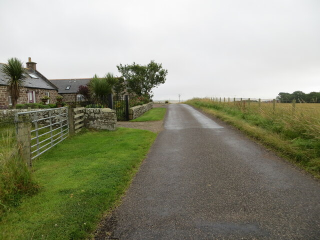
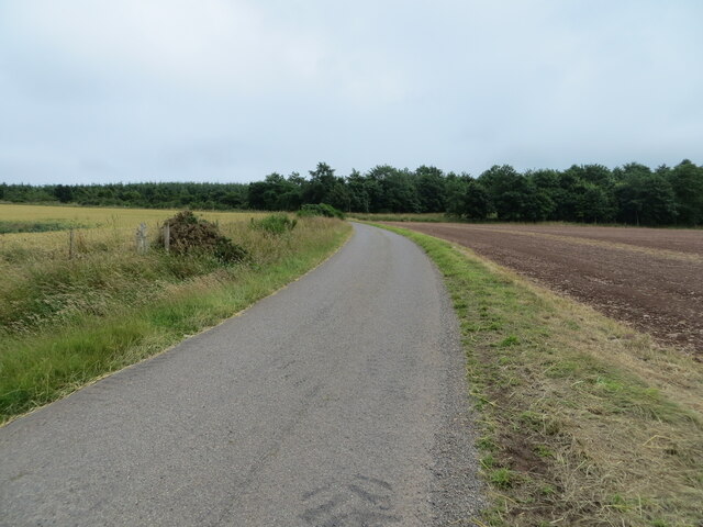
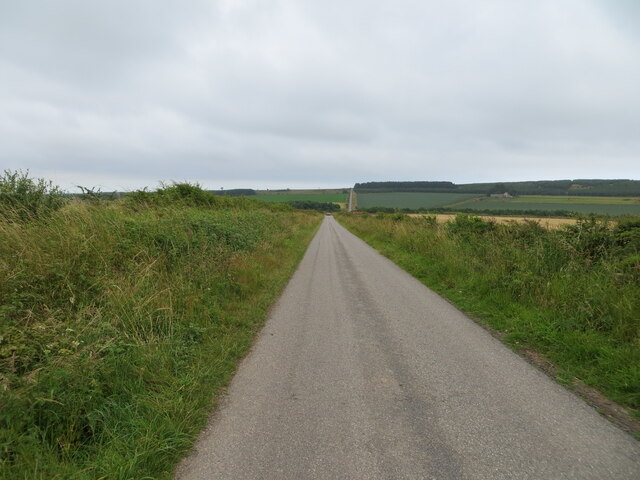
Banff Hill Images

Images are sourced within 2km of 56.846012/-2.3537174 or Grid Reference NO7872. Thanks to Geograph Open Source API. All images are credited.
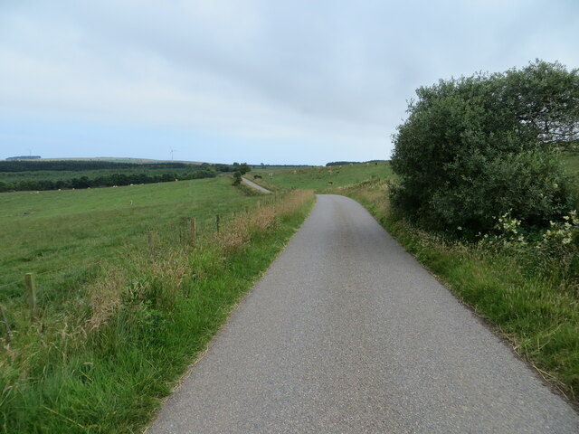
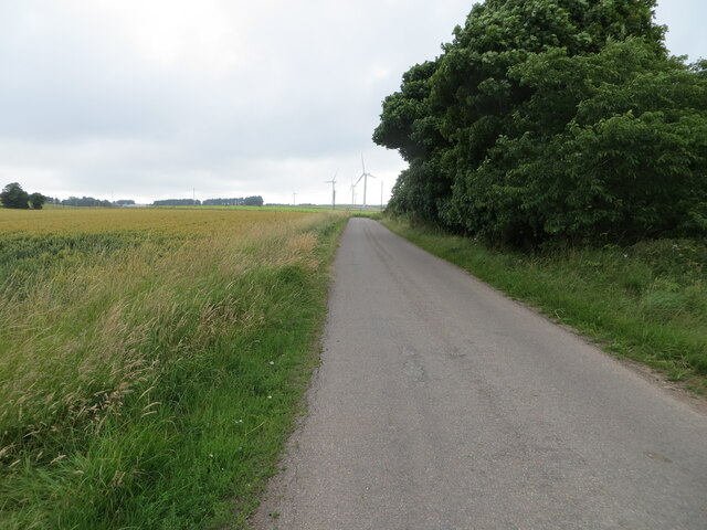
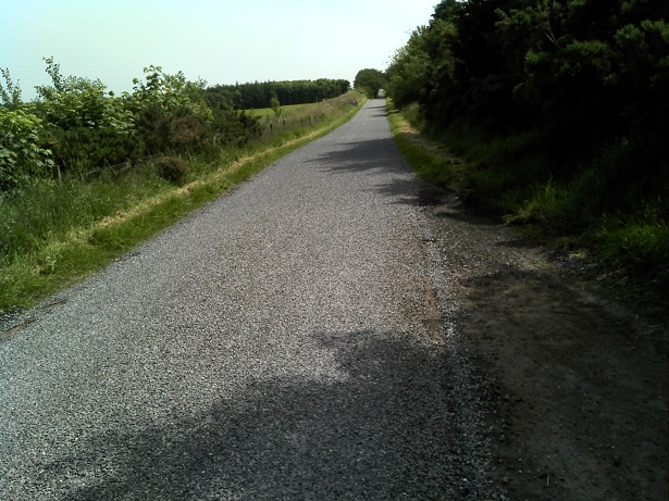
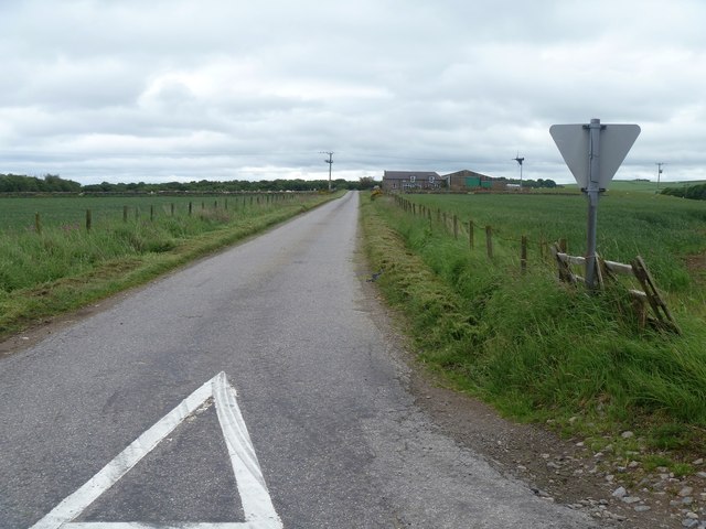
Entering the woodland surrounding Banff Burn Photographer is standing on the roadway verge.
Entering the woodland surrounding Banff Burn
Photographer is standing on the roadway verge.
Minor road at Anniston Farm Looking north-eastward.
Minor road at Anniston Farm
Looking north-eastward.
Ordnance Survey Cut Mark This mark can be found on the roadside boundary wall of Anniston.
The recorded details give a height of 119.4207 metres above sea level.
For more detail see : <span class="nowrap"><a title="https://www.bench-marks.org.uk/bm162231" rel="nofollow ugc noopener" href="https://www.bench-marks.org.uk/bm162231">Link</a><img style="margin-left:2px;" alt="External link" title="External link - shift click to open in new window" src="https://s1.geograph.org.uk/img/external.png" width="10" height="10"/></span>
Ordnance Survey Cut Mark
This mark can be found on the roadside boundary wall of Anniston. The recorded details give a height of 119.4207 metres above sea level. For more detail see : LinkExternal link
Minor road approaching Banff Wood Looking south-eastward.
Minor road approaching Banff Wood
Looking south-eastward.
Minor road near to Banff Looking south-eastward.
Minor road near to Banff
Looking south-eastward.
Tree enclosed minor road near Thief Slack Looking south-eastward.
Tree enclosed minor road near Thief Slack
Looking south-eastward.
Grassland on Kenshot Hill Looking south-westward to the Triangulation Pillar. Also named King's Seat Hill.
Grassland on Kenshot Hill
Looking south-westward to the Triangulation Pillar. Also named King's Seat Hill.
Minor road at Jack's Corse Looking westward.
Minor road at Jack's Corse
Looking westward.
Minor road heading towards Sheriff's Kettle and Brownieleys Looking eastward.
Minor road heading towards Sheriff's Kettle and Brownieleys
Looking eastward.
Minor road near to Easter Tulloch Looking south-westward.
Minor road near to Easter Tulloch
Looking south-westward.
Road passing Easter Tulloch Looking north-eastward.
Road passing Easter Tulloch
Looking north-eastward.
Minor road between East Hairmuir and Anniston Looking north-eastward.
Minor road between East Hairmuir and Anniston
Looking north-eastward.
Straight level road north of Anniston The roadway surface is in extremely good maintenance, given the out of the way nature of this route. Photographer is standing along the roadway verge.
Straight level road north of Anniston
The roadway surface is in extremely good maintenance, given the out of the way nature of this route. Photographer is standing along the roadway verge.
Turbine at Peattie Farm Seen from the minor road, the turbine stands 80m tall.
Turbine at Peattie Farm
Seen from the minor road, the turbine stands 80m tall.
Country road [1] This minor road, in excellent condition, heads towards Townhead on the B967.
Country road [1]
This minor road, in excellent condition, heads towards Townhead on the B967.
The way to Peattie Farm The sign says no entry to the high health pigs.
The way to Peattie Farm
The sign says no entry to the high health pigs.
The road to Haremuir Anniston Farm is seen on the right of the road.
The road to Haremuir
Anniston Farm is seen on the right of the road.
Anniston Farm Anniston on the slopes of Temple Hill.
Anniston Farm
Anniston on the slopes of Temple Hill.
Show me another place!

Banff Hill is located at Grid Ref: NO7872 (Lat: 56.846012, Lng: -2.3537174)

Unitary Authority: Aberdeenshire

Police Authority: North East

What 3 Words

///afraid.best.punks. Near Inverbervie, Aberdeenshire

Nearby Locations

Banff Hill

Related Wikis

Arbuthnott Parish Kirk

Arbuthnott Parish Kirk is a church in Arbuthnott, Aberdeenshire, Scotland. Now a Category A listed building, it was built in at least the 13th century...

Arbuthnott

Arbuthnott (Scottish Gaelic: Obar Bhuadhnait, "mouth of the Buadhnat") is a hamlet and parish in the Howe of the Mearns, a low-lying agricultural district...

Allardice Castle

Allardice Castle (also spelled Allardyce) is a sixteenth-century manor house in Kincardineshire, Scotland. It is approximately 1.5 kilometres north-west...

Benholm

Benholm is a small settlement in Aberdeenshire, Scotland, UK. It is now a conservation area and is home to Benholm Mill.The A92 passes the eastern edge...

Nearby Amenities

Located within 500m of 56.846012,-2.3537174
Passing Place
Lat/Long: 56.8422377/-2.357836
Passing Place
Lat/Long: 56.8422715/-2.3569318
Passing Place
Lat/Long: 56.842202/-2.3531156
Passing Place
Lat/Long: 56.8421486/-2.3509083
The data included in this document is from www.openstreetmap.org. The data is made available under ODbL.

Have you been to Banff Hill?

Leave your review of Banff Hill below (or comments, questions and feedback).