Cocken Hill
Hill, Mountain in Westmorland Eden
England
Cocken Hill
![Fell Lane and Eden valley The end of the tarmac on Fell Lane close by the entrance to Cote Garth farm. An extensive view northwards over the upper Eden valley towards the northern Pennines with the flat topped Roman Fell [part cloud shaded] prominent in the distance.](https://s3.geograph.org.uk/geophotos/04/13/66/4136651_14b80df9.jpg)
Cocken Hill is a prominent natural landmark located in the historic county of Westmorland, in the northwest region of England. Situated within the picturesque Lake District National Park, this hill/mountain stands at an elevation of approximately 1,240 feet (378 meters) above sea level, offering breathtaking panoramic views of the surrounding countryside.
With its distinctive conical shape, Cocken Hill is a popular destination for hikers and nature enthusiasts. The hill is characterized by its rugged terrain, covered in lush greenery, including grasses, ferns, and heather. As visitors ascend the hill, they can enjoy the diverse flora and fauna that call this area home, including various bird species, small mammals, and even occasional sightings of deer.
The ascent to the summit of Cocken Hill is relatively challenging but rewarding, offering stunning vistas of the surrounding landscape, including the nearby fells, valleys, and lakes. On a clear day, visitors can see as far as the distant peaks of the Lake District, creating a truly awe-inspiring experience.
Cocken Hill is also steeped in local history and folklore. It is said to have been a site of ancient settlements and is believed to have played a role in local legends and stories. Today, visitors can explore these historical remnants and immerse themselves in the rich heritage of the area.
Overall, Cocken Hill in Westmorland is a natural gem, providing both physical and visual delights for those who venture to its summit. Whether it's for a challenging hike, a tranquil picnic, or simply to soak in the beauty of the Lake District, Cocken Hill offers a memorable experience for all who visit.
If you have any feedback on the listing, please let us know in the comments section below.
Cocken Hill Images
Images are sourced within 2km of 54.488263/-2.3334551 or Grid Reference NY7810. Thanks to Geograph Open Source API. All images are credited.

![Looking down to Rookby Scarth Not the best view of the farm buildings from this vantage point on Fell Lane, but the panorama beyond is well worth a photograph with the scarp slope of the Northern Pennines running away in the distance. The more isolate peaks along the edge of the fells stand out well, including flat topped Roman Fell [part cloud shadowed], Murton Pike to the left and pointed Dufton Pike furthest left.](https://s1.geograph.org.uk/geophotos/04/13/66/4136673_e93ad63b.jpg)


Cocken Hill is located at Grid Ref: NY7810 (Lat: 54.488263, Lng: -2.3334551)
Administrative County: Cumbria
District: Eden
Police Authority: Cumbria
What 3 Words
///chuckling.lodge.rocket. Near Kirkby Stephen, Cumbria
Nearby Locations
Related Wikis

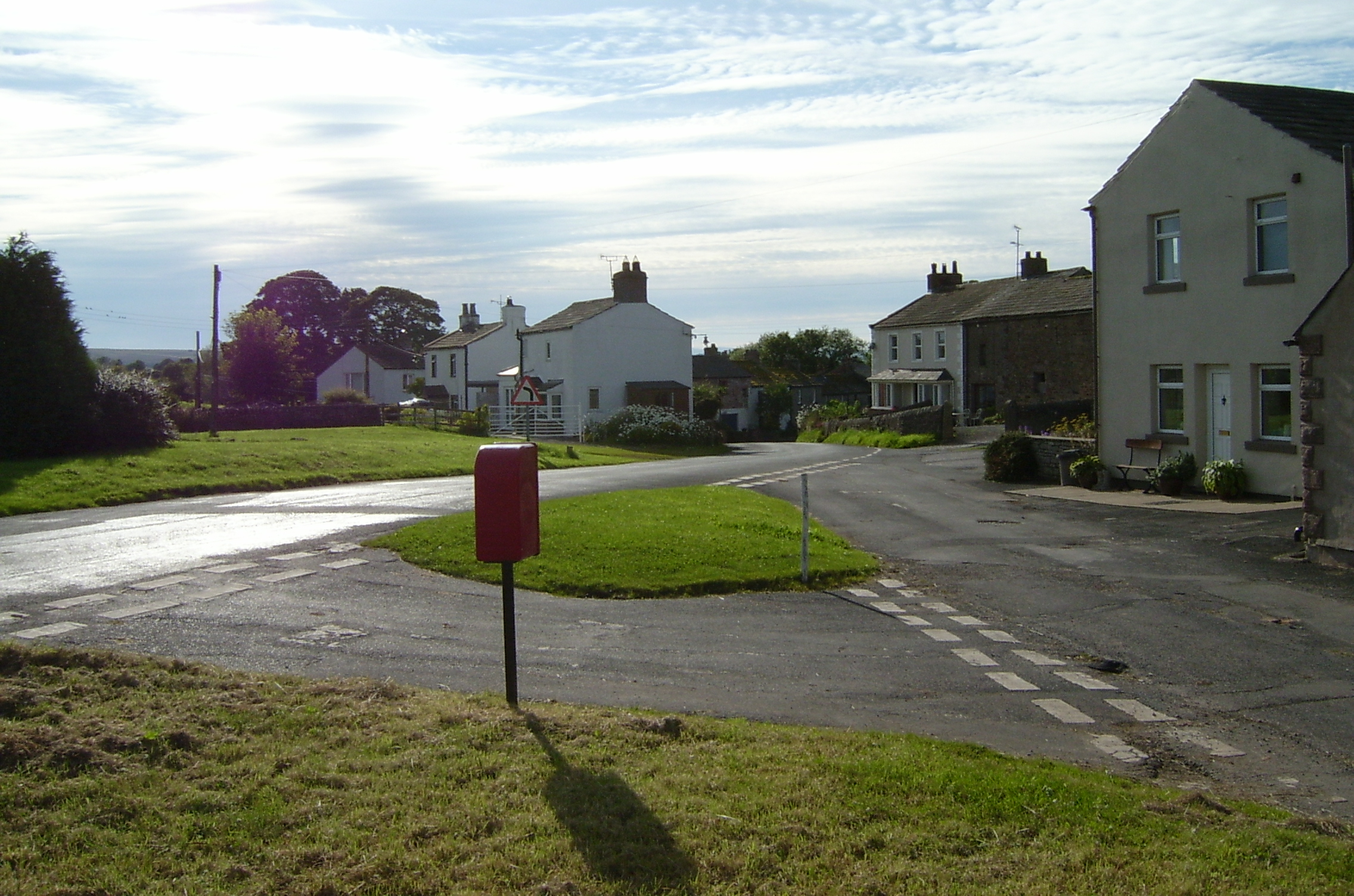
Winton, Cumbria
Winton is a village and civil parish in the Eden District of Cumbria, England. It is 2.9 miles (4.7 km) south of Brough, and 1.6 miles (2.6 km) north of...

Hartley, Cumbria
Hartley is a village and civil parish in the Eden district of Cumbria, England. It is about 0.5 miles (0.8 km) east of Kirkby Stephen. The area has many...
Kaber, Cumbria
Kaber is a village and civil parish in the Eden District of Cumbria, England. == Location and topography == The village is located about 2 miles (3.2 km...
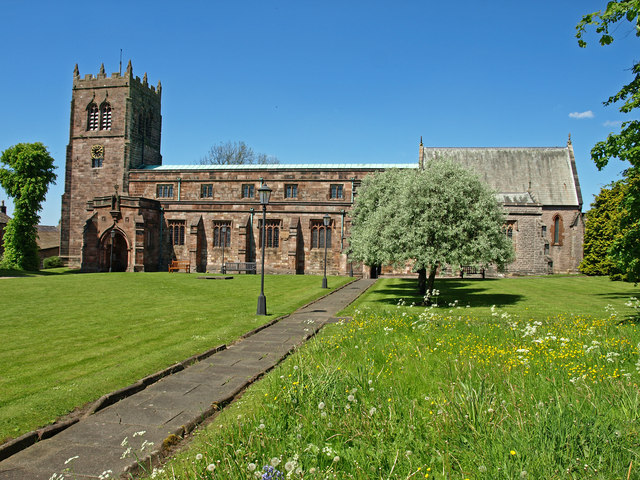
St Stephen's Church, Kirkby Stephen
The Parish Church, Kirkby Stephen is an Anglican parish church in Kirkby Stephen, Cumbria. == History == Kirkby Stephen Parish Church is often called the...

Kirkby Stephen Grammar School
Kirkby Stephen Grammar School is a coeducational secondary school. It is an Academy and has a sixth form. It is located in Kirkby Stephen in the English...
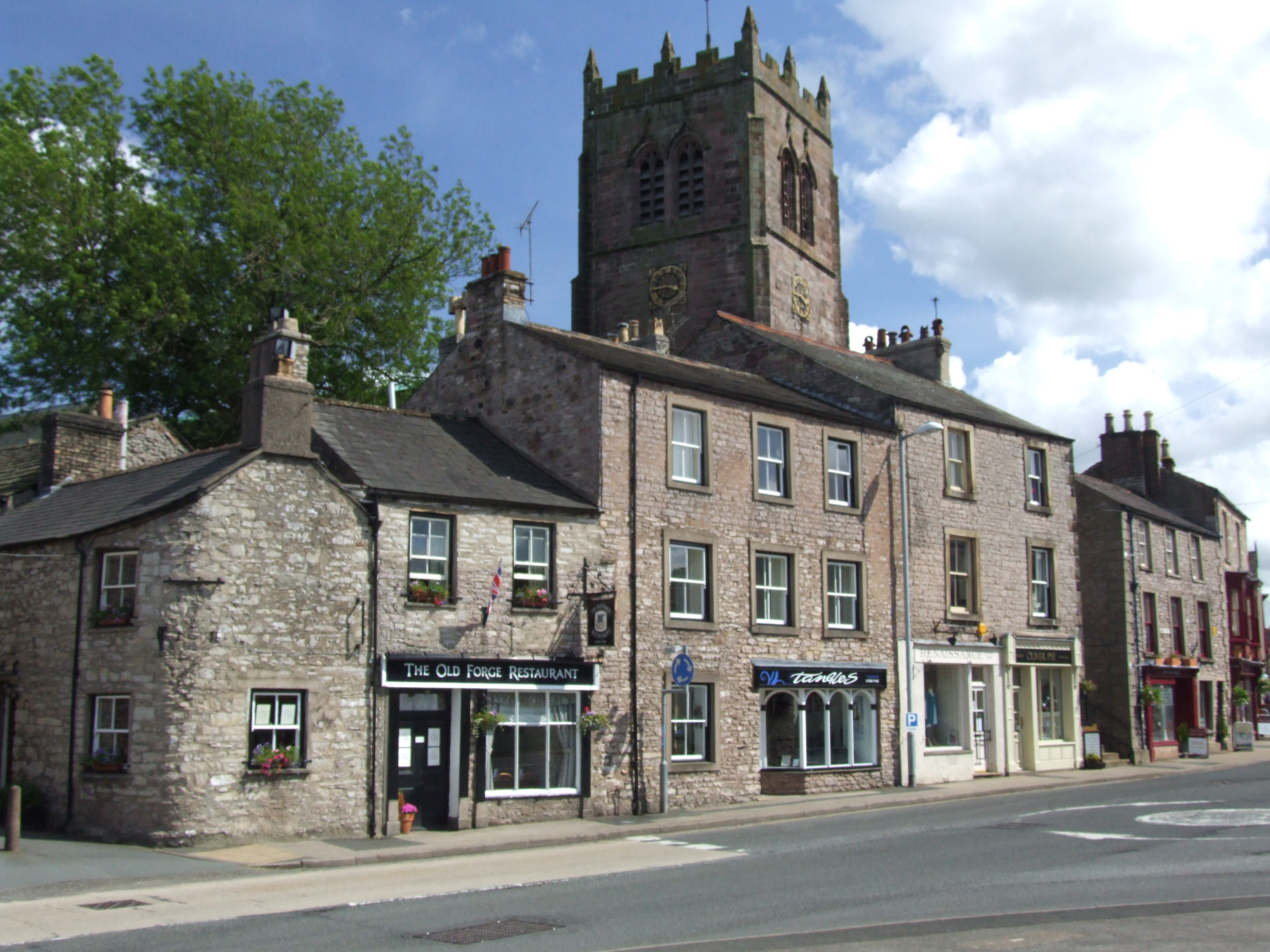
Kirkby Stephen
Kirkby Stephen () is a market town and civil parish in Westmorland and Furness, Cumbria, England. Historically part of Westmorland, it lies on the A685...
Hartley Castle
Hartley Castle was a castle near Kirkby Stephen, Cumbria, England. == History == The manor was confiscated circa 1315 from Roger de Clifford and granted...
Stainmore Railway Company
Stainmore Railway Company is a volunteer-run, non-profit preservation company formed in 2000 with the aim of restoring Kirkby Stephen East railway station...
Nearby Amenities
Located within 500m of 54.488263,-2.3334551Have you been to Cocken Hill?
Leave your review of Cocken Hill below (or comments, questions and feedback).