Cairn-mon-earn
Hill, Mountain in Kincardineshire
Scotland
Cairn-mon-earn
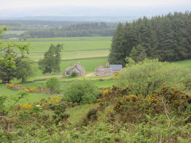
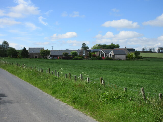
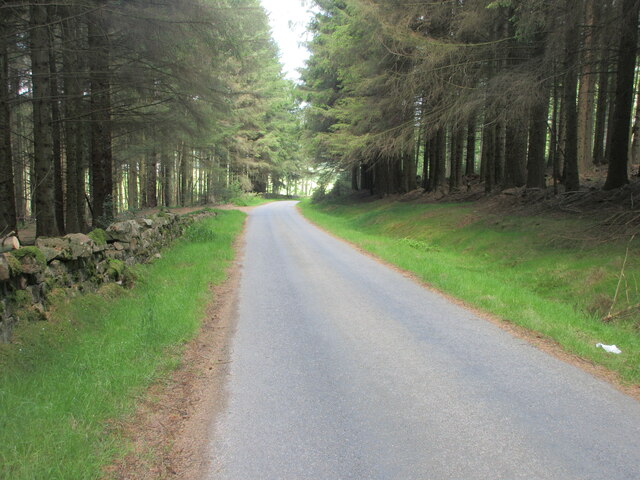
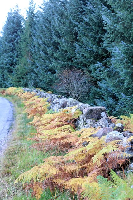
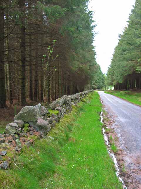
Cairn-mon-earn is a prominent hill located in Kincardineshire, Scotland. Also known as "Hill of Slaughter," it stands at an elevation of approximately 865 feet (264 meters) above sea level, making it a notable landmark in the region. The hill is situated near the village of Auchenblae and lies within the Cairn-mon-earn Forest, which covers a vast area surrounding the hill.
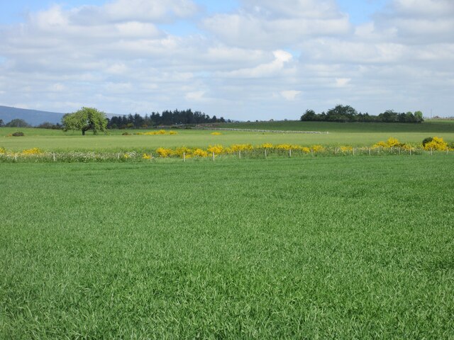
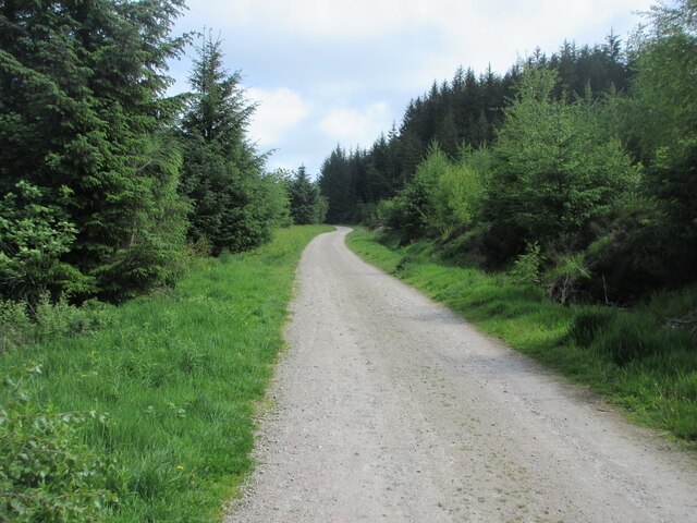
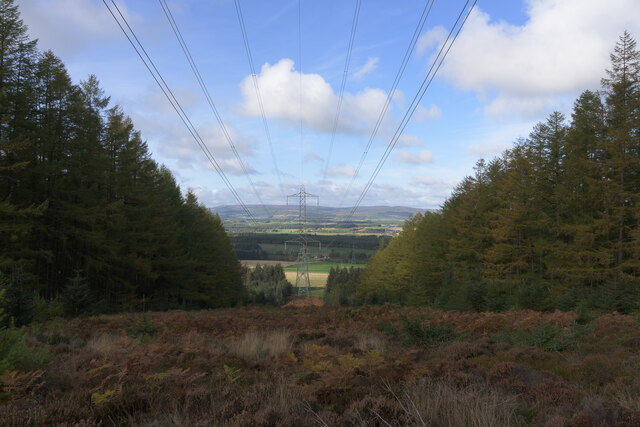
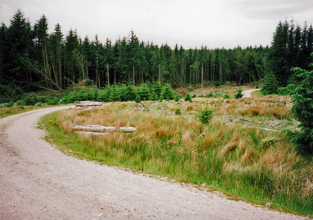
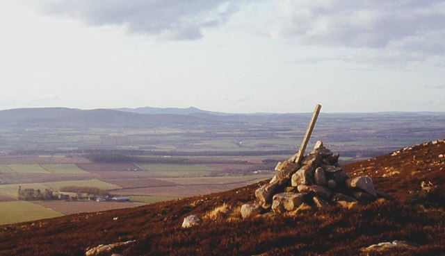
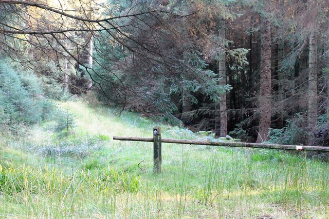
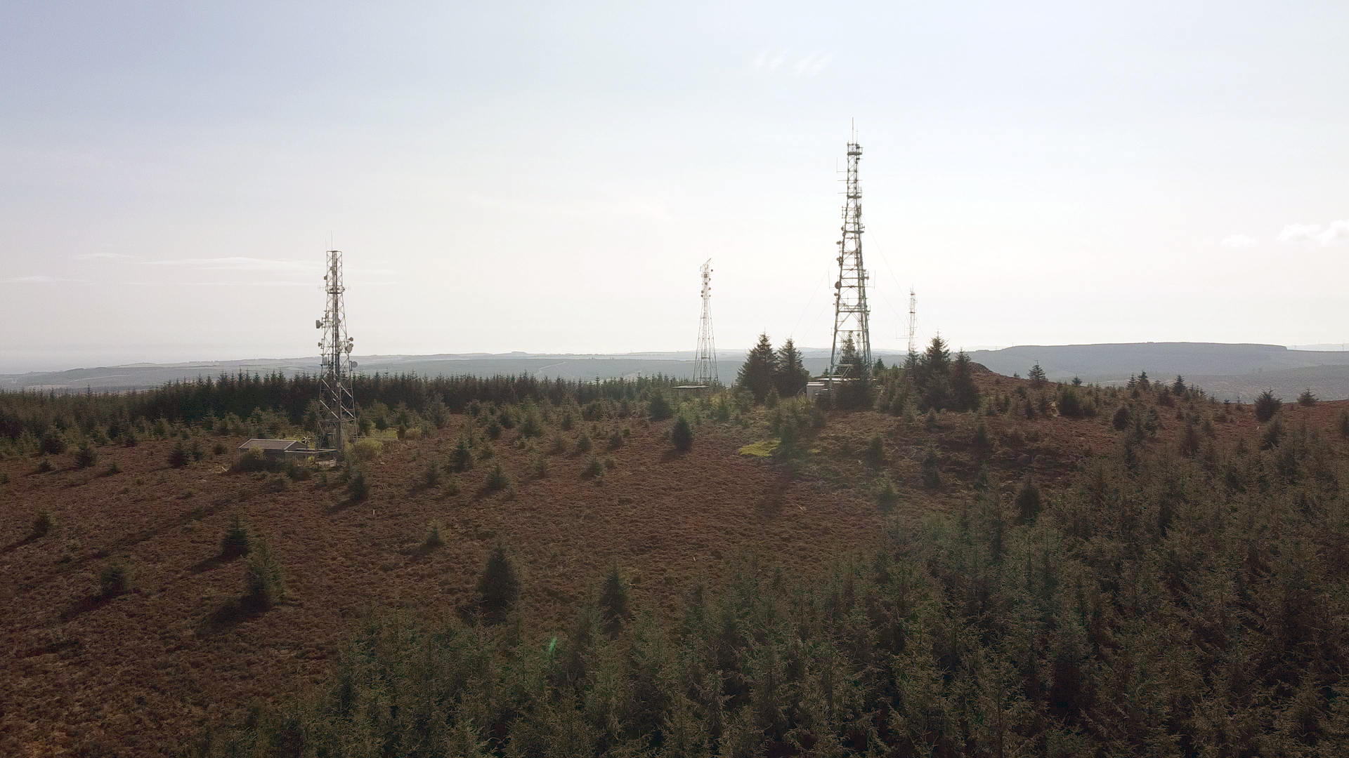
Cairn-mon-earn offers breathtaking panoramic views of the surrounding countryside, with its summit providing a vantage point for observing the scenic beauty of Kincardineshire. On clear days, one can see the rolling hills, farmland, and even the North Sea in the distance. The hill is a popular destination for hikers and nature enthusiasts, offering a variety of walking trails that cater to different levels of difficulty.
The name "Cairn-mon-earn" is derived from Gaelic, with "Cairn" meaning a mound of stones, and "mon-earn" referring to the hill itself. The name "Hill of Slaughter" is associated with historical events that occurred in the area, although the exact origins of this name are debated.
The hill is home to a diverse range of flora and fauna, with a mixture of woodland, heather, and grassland covering its slopes. It provides a habitat for various bird species, including red grouse, pheasants, and buzzards, making it an attractive spot for birdwatching.
Overall, Cairn-mon-earn is a remarkable natural feature of Kincardineshire, offering both recreational opportunities and a glimpse into the region's rich history and natural beauty.
If you have any feedback on the listing, please let us know in the comments section below.
Cairn-mon-earn Images
Images are sourced within 2km of 57.017973/-2.3596151 or Grid Reference NO7891. Thanks to Geograph Open Source API. All images are credited.


Cairn-mon-earn is located at Grid Ref: NO7891 (Lat: 57.017973, Lng: -2.3596151)
Unitary Authority: Aberdeenshire
Police Authority: North East
What 3 Words
///offer.shudders.riding. Near Banchory, Aberdeenshire
Nearby Locations
Related Wikis
Cairn Mon Earn
Cairn Mon Earn or Cairn-mon-earn is a hill in Aberdeenshire, Scotland. == Location == Cairn Mon Earn (OS: Cairn-mon-earn) lies within the Durris Forest...
Durris Forest
Durris Forest is a chiefly coniferous forest south of the River Dee approximately three kilometres west of Netherley in Aberdeenshire, Scotland. The A957...

Lochton
Lochton is a settlement on the Slug Road in Aberdeenshire, Scotland. Roman legions marched from Raedykes to Normandykes Roman Camp somewhat east of Lochton...
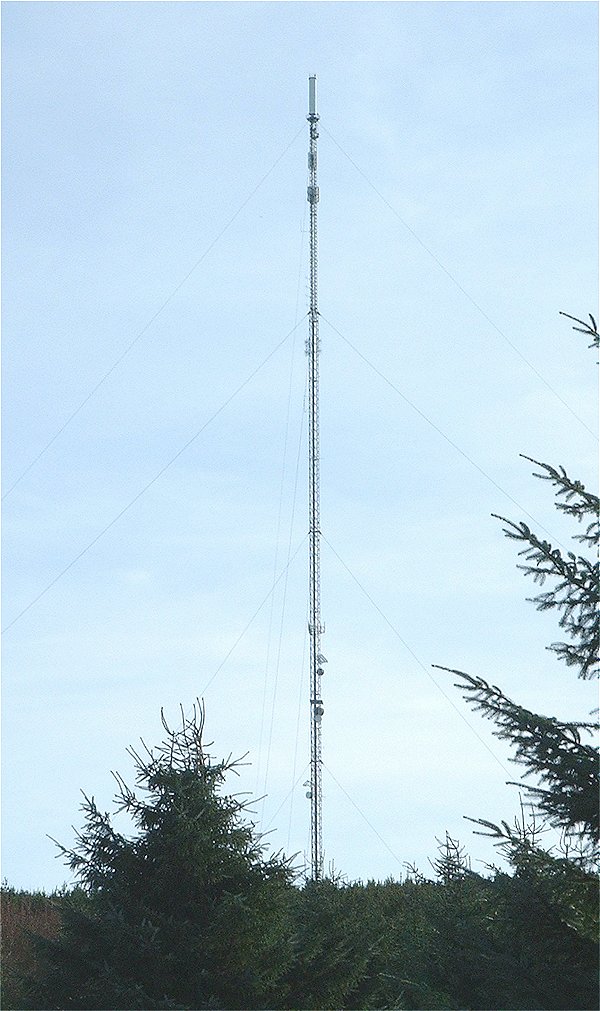
Durris transmitting station
The Durris transmitting station is a broadcasting and telecommunications facility, situated close to the town of Stonehaven, within Durris Forest, within...

Cryne Corse Mounth
Cryne Corse Mounth is an old droving road which ran south across the high ground from the Dee valley in Aberdeenshire, eastern Scotland. Much of the route...
Mergie
Mergie is a settlement in Aberdeenshire approximately six miles west of Stonehaven, Scotland. Situated in the former Kincardineshire slightly south of...

Kincardine and Mearns
Kincardine and Mearns is one of six area committees of the Aberdeenshire council area in Scotland. It has a population of 38,506 (2001 Census). There...

Kirkton of Durris
Kirkton of Durris is a hamlet in the Kincardine and Mearns area of Aberdeenshire, Scotland. Historic structures in the vicinity include Maryculter House...
Nearby Amenities
Located within 500m of 57.017973,-2.3596151Have you been to Cairn-mon-earn?
Leave your review of Cairn-mon-earn below (or comments, questions and feedback).