Bridgeton Hill

Hill, Mountain in Kincardineshire

Scotland

Bridgeton Hill

Castle Street, Wairds Park, Johnshaven Looking north-eastward.
Castle Street, Wairds Park, Johnshaven Credit: Peter Wood

Bridgeton Hill, located in Kincardineshire, is a prominent hill/mountain in the region. It is situated on the eastern coast of Scotland, near the town of Stonehaven. Rising to an elevation of approximately 380 meters (1,250 feet), Bridgeton Hill offers breathtaking panoramic views of the surrounding landscape.

The hill is primarily composed of granite, a common geological feature in the area. It is characterized by its steep slopes, which make it a popular destination for hiking and outdoor enthusiasts. The terrain is rugged, with rocky outcrops and occasional patches of heather and grass.

At the summit of Bridgeton Hill, visitors can revel in the stunning vistas that stretch across the North Sea and the rolling countryside. On clear days, it is even possible to catch a glimpse of the nearby Dunnottar Castle, perched dramatically on a cliff overlooking the sea.

The hill is easily accessible, with several paths and trails leading to the summit. These routes vary in difficulty, catering to both experienced hikers and casual walkers. Along the way, visitors may encounter local wildlife, such as birds, rabbits, and deer, adding to the natural charm of the area.

Bridgeton Hill is a beloved attraction for locals and tourists alike, offering not only a chance to immerse oneself in nature but also a unique opportunity to appreciate the beauty of the Scottish countryside. Whether one seeks a challenging hike or a leisurely stroll, Bridgeton Hill provides an unforgettable experience in Kincardineshire.

If you have any feedback on the listing, please let us know in the comments section below.

Bridgeton Hill Images

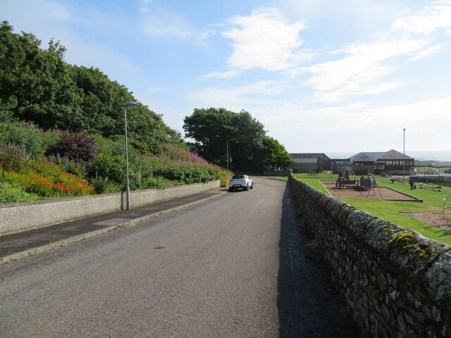
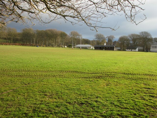
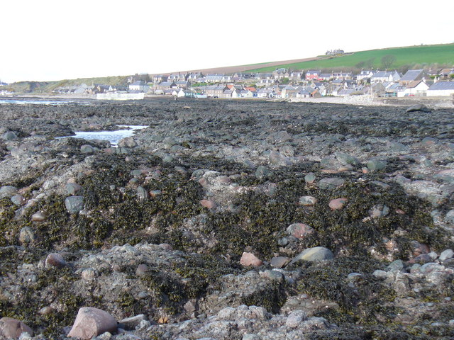
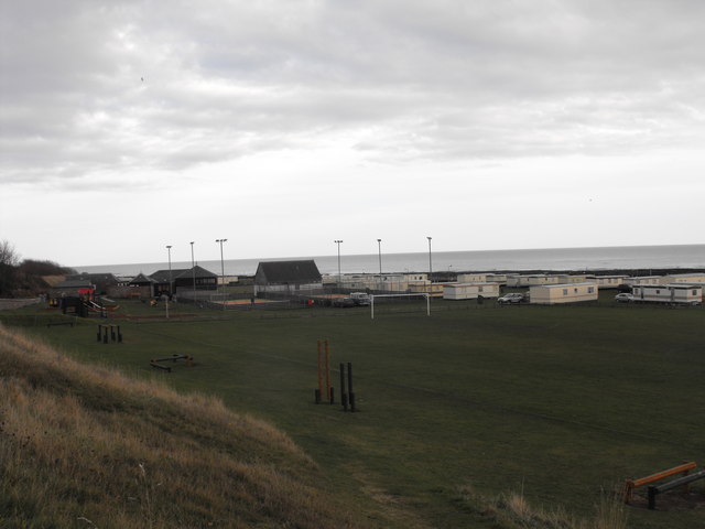
Images are sourced within 2km of 56.798932/-2.3591515 or Grid Reference NO7867. Thanks to Geograph Open Source API. All images are credited.

Castle Street, Wairds Park, Johnshaven Looking north-eastward.
Castle Street, Wairds Park, Johnshaven
Looking north-eastward.
Rugby pitch at Lathallan School Rugby field on the Johnshaven side of Lathallan School.
Rugby pitch at Lathallan School
Rugby field on the Johnshaven side of Lathallan School.
East Long Skelly Rocks Exposed rocky wave-cut platform at Johnshaven.
East Long Skelly Rocks
Exposed rocky wave-cut platform at Johnshaven.
Campsite, Johnshaven View of the campsite facing east. Football pitch in the foreground with climbing equipment and playpark on left. Camping area behind goal posts and all-weather courts surrounded by lighting. Building with pitched roof is the toilet block. domed building to the left is the office changing rooms and bowling club. The site is right by the sea and you can hear the waves on the shore while going to sleep. Very special place.
Campsite, Johnshaven
View of the campsite facing east. Football pitch in the foreground with climbing equipment and playpark on left. Camping area behind goal posts and all-weather courts surrounded by lighting. Building with pitched roof is the toilet block. domed building to the left is the office changing rooms and bowling club. The site is right by the sea and you can hear the waves on the shore while going to sleep. Very special place.
House beside the A92
Woodland beside the A92
A92 heading north Towards Inverbervie.
National Cycle Route 1 (on road version).
A92 heading north
Towards Inverbervie. National Cycle Route 1 (on road version).
Conglomerate Channel A shallow channel between the ridges of Old Red Sandstone conglomerate at Johnshaven.
Conglomerate Channel
A shallow channel between the ridges of Old Red Sandstone conglomerate at Johnshaven.
Johnshaven Foreshore These rocks on the foreshore at Johnshaven are Old Red Sandstones, but not the conglomerates that are the prevailing rock type along this shoreline.
Johnshaven Foreshore
These rocks on the foreshore at Johnshaven are Old Red Sandstones, but not the conglomerates that are the prevailing rock type along this shoreline.
Wairds Caravan Park Beside the coastal path from Johnshaven to Gourdon.
Wairds Caravan Park
Beside the coastal path from Johnshaven to Gourdon.
Tree-lined road at Mains of Brotherton Looking south-westward.
Tree-lined road at Mains of Brotherton
Looking south-westward.
South Street, Johnshaven Looking north-eastward.
South Street, Johnshaven
Looking north-eastward.
Minor road between Milton of Mathers and Elsinor Looking north-westward.
Minor road between Milton of Mathers and Elsinor
Looking north-westward.
Johnshaven Looking down from the A92, which bypasses the town.
Johnshaven
Looking down from the A92, which bypasses the town.
Ordnance Survey Flush Bracket 12090 This bracket can be found on the wall of a building at Mains of Brotherton.
The recorded details give a height of 53.03 metres above sea level.
For more detail see : <span class="nowrap"><a title="https://www.bench-marks.org.uk/bm19457" rel="nofollow ugc noopener" href="https://www.bench-marks.org.uk/bm19457">Link</a><img style="margin-left:2px;" alt="External link" title="External link - shift click to open in new window" src="https://s1.geograph.org.uk/img/external.png" width="10" height="10"/></span>
Ordnance Survey Flush Bracket 12090
This bracket can be found on the wall of a building at Mains of Brotherton. The recorded details give a height of 53.03 metres above sea level. For more detail see : LinkExternal link
Ordnance Survey Cut Mark This mark can be found on the wall of a house in West Street, Johnshaven.
The recorded details give a height of 7.7328 metres above sea level.
For more detail see : <span class="nowrap"><a title="https://www.bench-marks.org.uk/bm162462" rel="nofollow ugc noopener" href="https://www.bench-marks.org.uk/bm162462">Link</a><img style="margin-left:2px;" alt="External link" title="External link - shift click to open in new window" src="https://s1.geograph.org.uk/img/external.png" width="10" height="10"/></span>
Ordnance Survey Cut Mark
This mark can be found on the wall of a house in West Street, Johnshaven. The recorded details give a height of 7.7328 metres above sea level. For more detail see : LinkExternal link
Ordnance Survey Cut Mark This mark can be found on the wall of Elsinore.
The recorded details give a height of 62.634 metres above sea level.
For more detail see : <span class="nowrap"><a title="https://www.bench-marks.org.uk/bm162467" rel="nofollow ugc noopener" href="https://www.bench-marks.org.uk/bm162467">Link</a><img style="margin-left:2px;" alt="External link" title="External link - shift click to open in new window" src="https://s1.geograph.org.uk/img/external.png" width="10" height="10"/></span>
Ordnance Survey Cut Mark
This mark can be found on the wall of Elsinore. The recorded details give a height of 62.634 metres above sea level. For more detail see : LinkExternal link
Benholm War Memorial The Benholm Parish War Memorial in the centre of Johnshaven.
Benholm War Memorial
The Benholm Parish War Memorial in the centre of Johnshaven.
Show me another place!

Bridgeton Hill is located at Grid Ref: NO7867 (Lat: 56.798932, Lng: -2.3591515)

Unitary Authority: Aberdeenshire

Police Authority: North East

What 3 Words

///spinners.contexts.rewriting. Near St Cyrus, Aberdeenshire

Nearby Locations

Bridgeton Hill Cloch Hill

Related Wikis

Johnshaven railway station

Johnshaven railway station served the area of Johnshaven, Aberdeenshire, Scotland from 1865 to 1951 on the Montrose and Bervie Railway. == History == The...

Johnshaven

Johnshaven is a coastal village along the North Sea located in Aberdeenshire, Scotland. About 2 miles (3 km) southwest of Johnshaven lies Milton Ness,...

Lathallan School

Lathallan School is a co-educational all-through independent school at Brotherton Castle in Scotland, UK. It also offers outdoor learning programs on its...

Lauriston Castle, Aberdeenshire

Lauriston Castle stands on a clifftop site near the Aberdeenshire village of St Cyrus and just over a mile inland from the North Sea coast of Scotland...

Nearby Amenities

Located within 500m of 56.798932,-2.3591515
Cloch Hill
Ele: 150
Natural: peak
Lat/Long: 56.8027701/-2.3595543
Generator Method: wind_turbine
Generator Source: wind
Generator Type: horizontal_axis
Power: generator
Lat/Long: 56.7979992/-2.3643291
Bridgeton Hill
Natural: peak
Lat/Long: 56.7986068/-2.3595713
The Cloch
Archaeological Site: megalith
Historic: archaeological_site
Megalith Type: menhir
Ref Canmore: 36304
Wikidata: Q56664172
Lat/Long: 56.8024314/-2.3597485
Power: pole
Lat/Long: 56.7962056/-2.357738
Power: pole
Lat/Long: 56.7960124/-2.3566734
Power: pole
Lat/Long: 56.7957817/-2.3555356
Material: wood
Power: pole
Lat/Long: 56.7955655/-2.3543911
Power: pole
Lat/Long: 56.7948634/-2.3622871
Power: pole
Lat/Long: 56.795048/-2.3614731
Power: pole
Lat/Long: 56.7953165/-2.3605061
Power: pole
Lat/Long: 56.7955873/-2.3596388
Power: pole
Lat/Long: 56.7958861/-2.3587029
Power: pole
Lat/Long: 56.7962505/-2.3576781
Power: pole
Lat/Long: 56.7965372/-2.3570948
Power: pole
Lat/Long: 56.7968238/-2.3565181
Power: pole
Lat/Long: 56.7971202/-2.3559237
Power: pole
Lat/Long: 56.7974165/-2.3553448
Power: pole
Lat/Long: 56.7976995/-2.3547814
Power: pole
Lat/Long: 56.7979679/-2.354238
The data included in this document is from www.openstreetmap.org. The data is made available under ODbL.

Have you been to Bridgeton Hill?

Leave your review of Bridgeton Hill below (or comments, questions and feedback).