Cloch Hill

Hill, Mountain in Kincardineshire

Scotland

Cloch Hill

Rugby pitch at Lathallan School Rugby field on the Johnshaven side of Lathallan School.
Rugby pitch at Lathallan School Credit: Scott Cormie

Cloch Hill, located in Kincardineshire, Scotland, is a prominent hill that rises to an elevation of 216 meters (709 feet). Situated near the town of Stonehaven, it forms an integral part of the scenic landscape of the region. Cloch Hill is known for its distinctive conical shape and is a popular destination for hikers and nature enthusiasts.

The hill is composed mainly of granite and offers stunning panoramic views of the surrounding countryside, including the North Sea coastline and the picturesque town of Stonehaven. Its strategic location provides an ideal vantage point for observing the natural beauty of the area.

Cloch Hill is easily accessible, with several walking paths and trails leading to its summit. The ascent is moderate in difficulty, making it suitable for both casual walkers and experienced hikers. Along the way, visitors can admire the diverse flora and fauna that inhabit the hillside, including heather, gorse, and various bird species.

At the top of Cloch Hill, there is a trig point that serves as a marker and offers a point of reference for navigation. The trig point also provides an excellent spot for taking photographs and capturing the breathtaking scenery.

Overall, Cloch Hill is a captivating natural landmark in Kincardineshire, offering a rewarding outdoor experience for those who venture to its summit. Its accessibility, scenic beauty, and diverse wildlife make it a must-visit destination for nature lovers and anyone seeking a tranquil escape in the heart of Scotland.

If you have any feedback on the listing, please let us know in the comments section below.
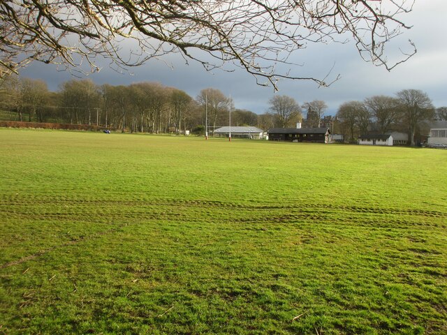
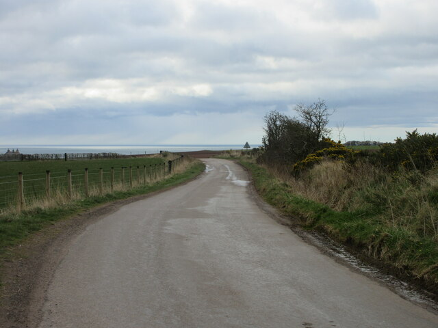
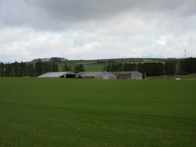
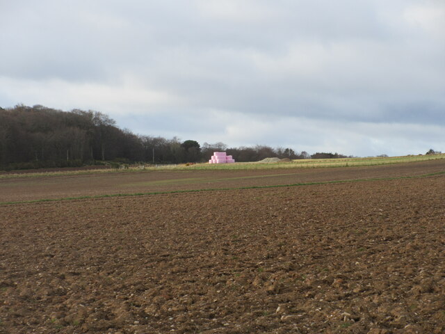
Cloch Hill Images

Images are sourced within 2km of 56.802613/-2.3597926 or Grid Reference NO7867. Thanks to Geograph Open Source API. All images are credited.

Rugby pitch at Lathallan School Rugby field on the Johnshaven side of Lathallan School.
Rugby pitch at Lathallan School
Rugby field on the Johnshaven side of Lathallan School.
House beside the A92
Woodland beside the A92
A92 heading north Towards Inverbervie.
National Cycle Route 1 (on road version).
A92 heading north
Towards Inverbervie. National Cycle Route 1 (on road version).
Tree-lined road at Mains of Brotherton Looking south-westward.
Tree-lined road at Mains of Brotherton
Looking south-westward.
South Street, Johnshaven Looking north-eastward.
South Street, Johnshaven
Looking north-eastward.
Johnshaven Looking down from the A92, which bypasses the town.
Johnshaven
Looking down from the A92, which bypasses the town.
Ordnance Survey Flush Bracket 12090 This bracket can be found on the wall of a building at Mains of Brotherton.
The recorded details give a height of 53.03 metres above sea level.
For more detail see : <span class="nowrap"><a title="https://www.bench-marks.org.uk/bm19457" rel="nofollow ugc noopener" href="https://www.bench-marks.org.uk/bm19457">Link</a><img style="margin-left:2px;" alt="External link" title="External link - shift click to open in new window" src="https://s1.geograph.org.uk/img/external.png" width="10" height="10"/></span>
Ordnance Survey Flush Bracket 12090
This bracket can be found on the wall of a building at Mains of Brotherton. The recorded details give a height of 53.03 metres above sea level. For more detail see : LinkExternal link
Ordnance Survey Cut Mark This mark can be found on the wall of a house in West Street, Johnshaven.
The recorded details give a height of 7.7328 metres above sea level.
For more detail see : <span class="nowrap"><a title="https://www.bench-marks.org.uk/bm162462" rel="nofollow ugc noopener" href="https://www.bench-marks.org.uk/bm162462">Link</a><img style="margin-left:2px;" alt="External link" title="External link - shift click to open in new window" src="https://s1.geograph.org.uk/img/external.png" width="10" height="10"/></span>
Ordnance Survey Cut Mark
This mark can be found on the wall of a house in West Street, Johnshaven. The recorded details give a height of 7.7328 metres above sea level. For more detail see : LinkExternal link
Benholm War Memorial The Benholm Parish War Memorial in the centre of Johnshaven.
Benholm War Memorial
The Benholm Parish War Memorial in the centre of Johnshaven.
Shoreline at Johnshaven Looking along the shoreline at Johnshaven to the east of the harbour area.
Shoreline at Johnshaven
Looking along the shoreline at Johnshaven to the east of the harbour area.
Stone of Benholm Looking northwards to the Stone of Benholm from the C7K road.
Stone of Benholm
Looking northwards to the Stone of Benholm from the C7K road.
C7K (Aberdeenshire) Road The C7K road heading towards the A92 at Johnshaven, with the North Sea in the distance.
C7K (Aberdeenshire) Road
The C7K road heading towards the A92 at Johnshaven, with the North Sea in the distance.
Farm sheds at Craighead Looking north from the roadside to three large sheds at Craighead.
Farm sheds at Craighead
Looking north from the roadside to three large sheds at Craighead.
Pink bales A distant view of pink-wrapped bales to the north of Muirton on the lower southern slope of Paul Matthew Hill.
Pink bales
A distant view of pink-wrapped bales to the north of Muirton on the lower southern slope of Paul Matthew Hill.
Den Finella Gorge A fab place to visit if you can brave the descent. My son thought he had been transported into Jurassic Park.
Den Finella Gorge
A fab place to visit if you can brave the descent. My son thought he had been transported into Jurassic Park.
Old railway bridge
Old railway bridge
Finella Den Gorge viewed from the road bridge on the A92, Aberdeenshire This photo shows a view into the Den Finella gorge as seen from the eastern side of the A92 road bridge which crosses over it. Few motorists realise that they are crossing over a waterfall with a 20m sheer drop  into the plunge pool below. Two other plunge pools on the seaward side of the gorge mark the line of recession delineated by the waterfall as it retreated inland by the process of headword erosion. The burn is something of a misfit stream as the valley is very deep and it has clearly taken much erosion to create it. The valley was probably created, in part, from meltwater at the end of the ice age.
Finella Den Gorge viewed from the road bridge on the A92, Aberdeenshire
This photo shows a view into the Den Finella gorge as seen from the eastern side of the A92 road bridge which crosses over it. Few motorists realise that they are crossing over a waterfall with a 20m sheer drop into the plunge pool below. Two other plunge pools on the seaward side of the gorge mark the line of recession delineated by the waterfall as it retreated inland by the process of headword erosion. The burn is something of a misfit stream as the valley is very deep and it has clearly taken much erosion to create it. The valley was probably created, in part, from meltwater at the end of the ice age.
Show me another place!

Cloch Hill is located at Grid Ref: NO7867 (Lat: 56.802613, Lng: -2.3597926)

Unitary Authority: Aberdeenshire

Police Authority: North East

What 3 Words

///songbird.expanded.slumped. Near St Cyrus, Aberdeenshire

Nearby Locations

Bridgeton Hill Cloch Hill

Related Wikis

Johnshaven railway station

Johnshaven railway station served the area of Johnshaven, Aberdeenshire, Scotland from 1865 to 1951 on the Montrose and Bervie Railway. == History == The...

Johnshaven

Johnshaven is a coastal village along the North Sea located in Aberdeenshire, Scotland. About 2 miles (3 km) southwest of Johnshaven lies Milton Ness,...

Lathallan School

Lathallan School is a co-educational all-through independent school at Brotherton Castle in Scotland, UK. It also offers outdoor learning programs on its...

Lauriston Castle, Aberdeenshire

Lauriston Castle stands on a clifftop site near the Aberdeenshire village of St Cyrus and just over a mile inland from the North Sea coast of Scotland...

Nearby Amenities

Located within 500m of 56.802613,-2.3597926
Cloch Hill
Ele: 150
Natural: peak
Lat/Long: 56.8027701/-2.3595543
Bridgeton Hill
Natural: peak
Lat/Long: 56.7986068/-2.3595713
The Cloch
Archaeological Site: megalith
Historic: archaeological_site
Megalith Type: menhir
Ref Canmore: 36304
Wikidata: Q56664172
Lat/Long: 56.8024314/-2.3597485
Power: pole
Lat/Long: 56.8017438/-2.3520156
Power: pole
Lat/Long: 56.8023025/-2.3528429
Power: pole
Lat/Long: 56.8027275/-2.353475
Power: pole
Lat/Long: 56.8033748/-2.3531734
Power: pole
Lat/Long: 56.8040463/-2.3528362
Power: pole
Lat/Long: 56.8046632/-2.3525479
The data included in this document is from www.openstreetmap.org. The data is made available under ODbL.

Have you been to Cloch Hill?

Leave your review of Cloch Hill below (or comments, questions and feedback).