Dean Hill

Hill, Mountain in Cheshire

England

Dean Hill

Hassall Green Post Office and General Store right by the canal, but unfortunately right by the M6 too
Hassall Green Post Office and General Store Credit: Andrew Longton

Dean Hill is a prominent summit located in the county of Cheshire, England. Standing at an elevation of approximately 139 meters (456 feet), it is often referred to as a hill rather than a mountain due to its relatively modest height. Situated in the picturesque countryside near the village of Dean Row, the hill offers breathtaking panoramic views of the surrounding landscape.

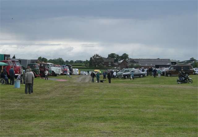
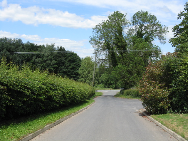
Covered in lush greenery, Dean Hill is a popular destination for outdoor enthusiasts and nature lovers. It boasts a well-maintained network of walking trails, making it an ideal spot for leisurely hikes and refreshing strolls. The paths meander through ancient woodlands and open fields, providing opportunities to spot a variety of flora and fauna.

Dean Hill is also of historical significance, as it is believed to have been inhabited since prehistoric times. Archaeological findings suggest that the hill was once home to a hillfort, a fortified settlement used for defensive purposes. These historical remnants add depth and intrigue to the area, attracting history enthusiasts and archaeologists alike.

The hill is easily accessible, with car parks and public transport links nearby. Its proximity to major towns and cities such as Wilmslow and Manchester make it a convenient escape for locals and tourists seeking a peaceful retreat. Dean Hill's tranquil ambiance, coupled with its natural beauty and rich history, make it a truly enchanting destination for all who visit.

If you have any feedback on the listing, please let us know in the comments section below.
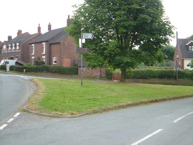
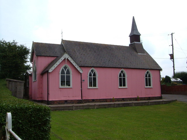
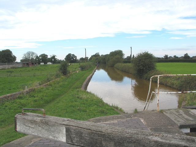
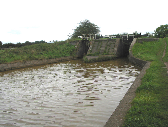
Dean Hill Images

Images are sourced within 2km of 53.133074/-2.3300658 or Grid Reference SJ7859. Thanks to Geograph Open Source API. All images are credited.

Hassall Green Post Office and General Store right by the canal, but unfortunately right by the M6 too
Hassall Green Post Office and General Store
right by the canal, but unfortunately right by the M6 too
Randle Rode This splendid 17th century Tudor-style house on the A533 bears the legend Randle Rode 1684.
Rode Hall Estate lies a couple of miles to the south-east of here, but the family have been landowners in the area for centuries. If you look closely, the large vertical stone in the garden wall has a face carved into it, as have other smaller ones which picture compression has rendered invisible.
Randle Rode
This splendid 17th century Tudor-style house on the A533 bears the legend Randle Rode 1684. Rode Hall Estate lies a couple of miles to the south-east of here, but the family have been landowners in the area for centuries. If you look closely, the large vertical stone in the garden wall has a face carved into it, as have other smaller ones which picture compression has rendered invisible.
Boult's Green Farm A view of the farm buildings, looking back north-east up Vicarage Lane from Colley Lane, towards the A533 and Betchton Heath.
Boult's Green Farm
A view of the farm buildings, looking back north-east up Vicarage Lane from Colley Lane, towards the A533 and Betchton Heath.
Stannerhouse Lane Steps The point at which the country footpath from Stannerhouse Lane rises into the fields behind Boult's Green Farm, crossing the farmland by Tall Chimneys to emerge onto Colley Lane, below the farmhouse on Vicarage Lane at Boult's Green.
Stannerhouse Lane Steps
The point at which the country footpath from Stannerhouse Lane rises into the fields behind Boult's Green Farm, crossing the farmland by Tall Chimneys to emerge onto Colley Lane, below the farmhouse on Vicarage Lane at Boult's Green.
Woods & Stream Early stages of the River Wheelock
Woods & Stream
Early stages of the River Wheelock
The Bull's Head, Fourlanes End At least Fourlanes End is not dry after the closure of <a href="https://www.geograph.org.uk/photo/194823">SJ8059 : The Salamanca, Fourlanes End</a>. This pub is only 200 metres northwest along the Newcastle Road towards Holmes Chapel, and the other side of the crossroads.
The Bull's Head, Fourlanes End
At least Fourlanes End is not dry after the closure of SJ8059 : The Salamanca, Fourlanes End. This pub is only 200 metres northwest along the Newcastle Road towards Holmes Chapel, and the other side of the crossroads.
Hassall Green The junction at the north end of Hassall Green, seen from the northeast. Off to the right is Betchton Road; Smithy Grove and the rest of the village to the left.
Hassall Green
The junction at the north end of Hassall Green, seen from the northeast. Off to the right is Betchton Road; Smithy Grove and the rest of the village to the left.
Day Green From the foot of the slope down from the bridge over the M6, hence the slow sign on the entrance to this hamlet. Holly Tree Farm is on the right hand side of the lane. The 78 bus will take you to Nantwich via Sandbach or Scholar Green via Alsager.
Day Green
From the foot of the slope down from the bridge over the M6, hence the slow sign on the entrance to this hamlet. Holly Tree Farm is on the right hand side of the lane. The 78 bus will take you to Nantwich via Sandbach or Scholar Green via Alsager.
St Philip's Church, Hassall Green <span class="nowrap"><a title="http://www.sandbachanglicans.ukf.net/stp.htm" rel="nofollow ugc noopener" href="http://www.sandbachanglicans.ukf.net/stp.htm">Link</a><img style="margin-left:2px;" alt="External link" title="External link - shift click to open in new window" src="https://s1.geograph.org.uk/img/external.png" width="10" height="10"/></span>
St Philip's Church, Hassall Green
Transport through the ages A barge on the Trent and Mersey Canal passes under the M6 motorway bridge just to the west of Hassall Green Locks.
Transport through the ages
A barge on the Trent and Mersey Canal passes under the M6 motorway bridge just to the west of Hassall Green Locks.
Locks at Malkin's Bank Taken from the bridge over the Trent and Mersey Canal locks towards the backs of the original terraced houses on Betchton Road.
Locks at Malkin's Bank
Taken from the bridge over the Trent and Mersey Canal locks towards the backs of the original terraced houses on Betchton Road.
Hassall House Farm
Hassall House Farm
Jubilee Villas, Hassall Moss
Lock on Trent and Mersey Canal Roughwood farm is on the left.
The tow path is popular with anglers and walkers.
Lock on Trent and Mersey Canal
Roughwood farm is on the left. The tow path is popular with anglers and walkers.
The Romping Donkey canalside pub
Twin locks on the Trent & Mersey Canal
Tortoises and hares - canal and motorway The tranquil scene of narrowboats manoeuvering through the locks seems somewhat at odds with the incessant roar of the M6 as it crosses the Trent & Mersey canal at Hassall Green.
Tortoises and hares - canal and motorway
The tranquil scene of narrowboats manoeuvering through the locks seems somewhat at odds with the incessant roar of the M6 as it crosses the Trent & Mersey canal at Hassall Green.
Smallwood Vintage Rally View across part of the rally field looking towards Love Lane Farm. Of course it only looks like this a couple of days a year. Normally it's just a boring old field.
Smallwood Vintage Rally
View across part of the rally field looking towards Love Lane Farm. Of course it only looks like this a couple of days a year. Normally it's just a boring old field.
Show me another place!

Dean Hill is located at Grid Ref: SJ7859 (Lat: 53.133074, Lng: -2.3300658)

Unitary Authority: Cheshire East

Police Authority: Cheshire

What 3 Words

///disbanded.relaxing.flops. Near Sandbach, Cheshire

Nearby Locations

Dean Hill

Related Wikis

Arclid Green

Arclid Green is a village in Cheshire, England. == References ==
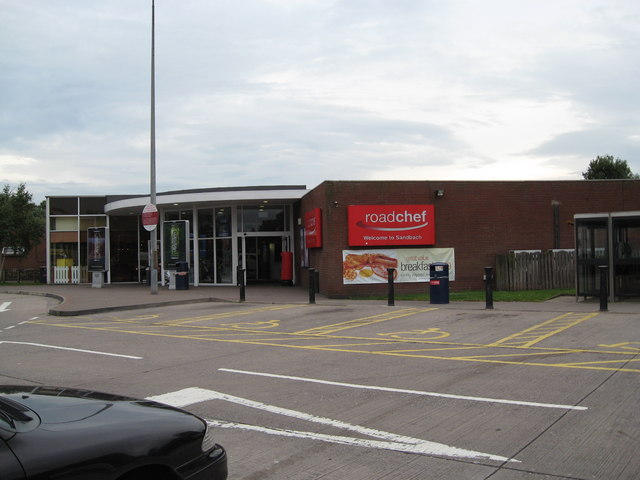
Sandbach services

Sandbach services is a motorway service station on the M6 in Sandbach, Cheshire, England. == History == The services originally opened in 1976 and have...

Betchton Heath

Betchton Heath is a village in Cheshire, England.

Betchton

Betchton is a civil parish in the unitary authority of Cheshire East and the ceremonial county of Cheshire, England. According to the 2001 census it had...

Nearby Amenities

Located within 500m of 53.133074,-2.3300658
Barrier: stile
Lat/Long: 53.1308436/-2.3269695
Barrier: stile
Lat/Long: 53.1309392/-2.3243526
Speed Camera
Lat/Long: 53.132121/-2.3360394
Ford: yes
Lat/Long: 53.1300025/-2.3293186
The data included in this document is from www.openstreetmap.org. The data is made available under ODbL.

Have you been to Dean Hill?

Leave your review of Dean Hill below (or comments, questions and feedback).