Brier Hill
Hill, Mountain in Northumberland
England
Brier Hill

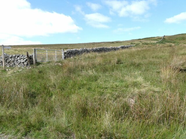
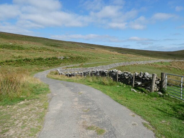
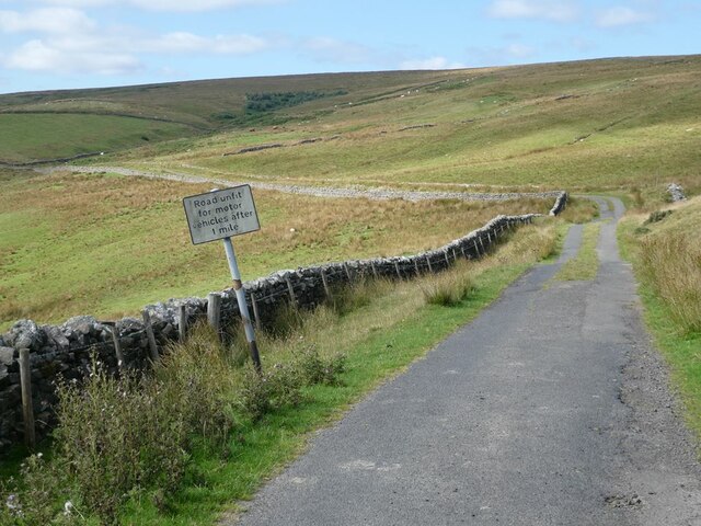
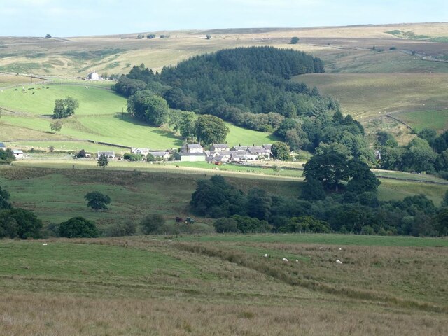
Brier Hill is a small hill located in Northumberland, England. Situated in the northern part of the county, it is part of the North Pennines Area of Outstanding Natural Beauty. Brier Hill is known for its stunning natural beauty and offers breathtaking views of the surrounding landscape.
Standing at an elevation of approximately 400 meters (1,312 feet), Brier Hill is considered a modest hill by mountain standards. However, its lower height does not diminish the charm and appeal it holds for hikers, walkers, and nature enthusiasts who visit the area. The hill is covered in lush greenery, with a mix of grasses, heather, and wildflowers dotting its slopes.
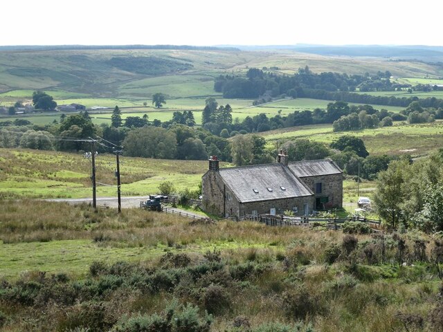
The summit of Brier Hill offers panoramic views of the Northumberland countryside, including the nearby Cheviot Hills, Simonside Hills, and the Tyne Valley. On a clear day, it is even possible to see as far as the North Sea coast. The area is also home to a variety of wildlife, including birds, foxes, and deer, making it a popular spot for birdwatching and wildlife observation.
Brier Hill is easily accessible via well-maintained footpaths and trails, making it a popular destination for outdoor enthusiasts of all levels of fitness and experience. The hill is a great place for a leisurely hike or a more challenging trek, depending on one's preference.
In conclusion, Brier Hill in Northumberland is a picturesque and accessible hill that offers stunning views and a chance to immerse oneself in the natural beauty of the North Pennines.
If you have any feedback on the listing, please let us know in the comments section below.
Brier Hill Images
Images are sourced within 2km of 55.187178/-2.3484591 or Grid Reference NY7788. Thanks to Geograph Open Source API. All images are credited.


Brier Hill is located at Grid Ref: NY7788 (Lat: 55.187178, Lng: -2.3484591)
Unitary Authority: Northumberland
Police Authority: Northumbria
What 3 Words
///descended.banana.downsize. Near Bellingham, Northumberland
Nearby Locations
Related Wikis

Thorneyburn
Thorneyburn is a village and former civil parish, now in the parish of Tarset, in Northumberland, England, to the northwest of Bellingham. In 1951 the...

Thorneyburn railway station
Thorneyburn railway station served the village of Thorneyburn, Northumberland, England from 1861 to 1956 on the Border Counties Railway. == History... ==

Black Middens Bastle House
Black Middens Bastle House lies about 7 miles (11 km) northwest of Bellingham, Northumberland. It is a two-storey fortified stone farmhouse from the 16th...

Greystead
Greystead is a village and civil parish in Northumberland, England west of Bellingham. The population as of the 2011 census was less than 100. It shares...
Nearby Amenities
Located within 500m of 55.187178,-2.3484591Have you been to Brier Hill?
Leave your review of Brier Hill below (or comments, questions and feedback).