Flinty Fell

Hill, Mountain in Cumberland Eden

England

Flinty Fell

Holmsfoot on the A689 in Nenthead
Holmsfoot on the A689 in Nenthead Credit: Chris Heaton

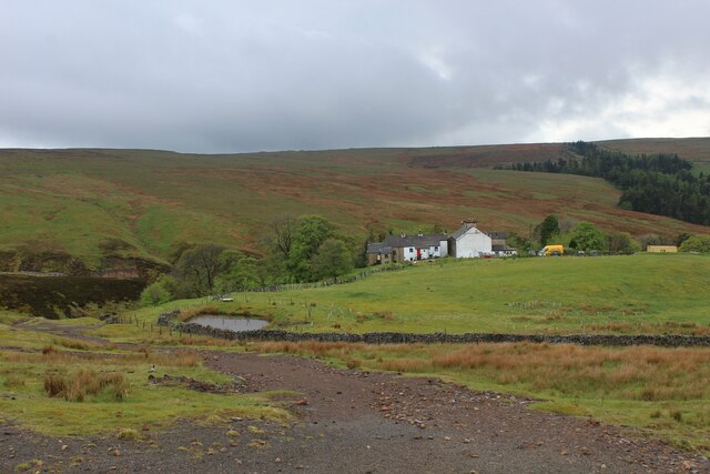
Flinty Fell is a prominent hill located in the county of Cumberland, in the northwestern part of England. Situated in the Lake District National Park, it stands at an elevation of approximately 557 meters (1,827 feet) above sea level. The fell is situated about 9 kilometers (5.6 miles) northeast of the town of Keswick and can be accessed via various footpaths and trails.

The hill is characterized by its rugged and rocky terrain, which gives it its name, Flinty Fell. It offers stunning panoramic views of the surrounding countryside, with vistas that stretch over the nearby valleys and peaks of the Lake District. On clear days, it is even possible to see as far as the Solway Firth and the Scottish border.

Flinty Fell is a popular destination for hikers and outdoor enthusiasts, who are drawn to its challenging yet rewarding ascent. The hill is often incorporated into longer walks and hikes, with routes that traverse its slopes and connect with other nearby fells and mountains.

Flora and fauna are abundant on Flinty Fell, with heather-covered slopes and scattered patches of woodland providing habitats for a variety of plant and animal species. Birdwatchers may be lucky enough to spot birds such as buzzards, kestrels, and ravens soaring above the hill.

Overall, Flinty Fell offers visitors a chance to experience the rugged beauty of the Lake District, with its striking landscapes, challenging terrain, and breathtaking views.

If you have any feedback on the listing, please let us know in the comments section below.

Flinty Fell Images

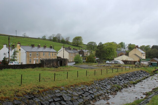
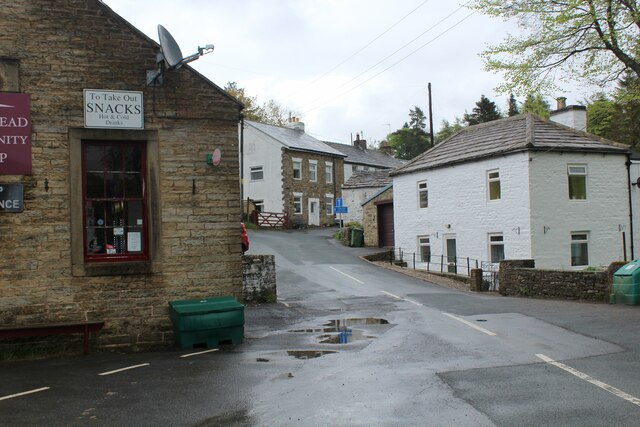
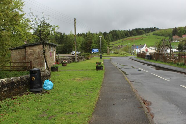
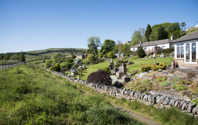
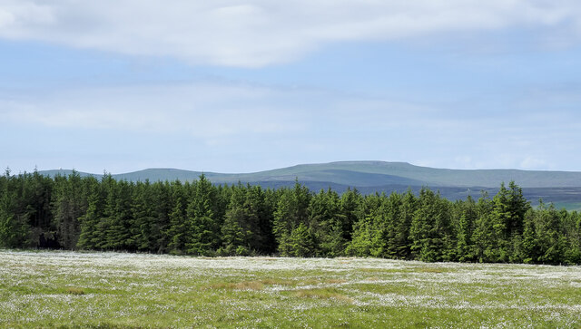
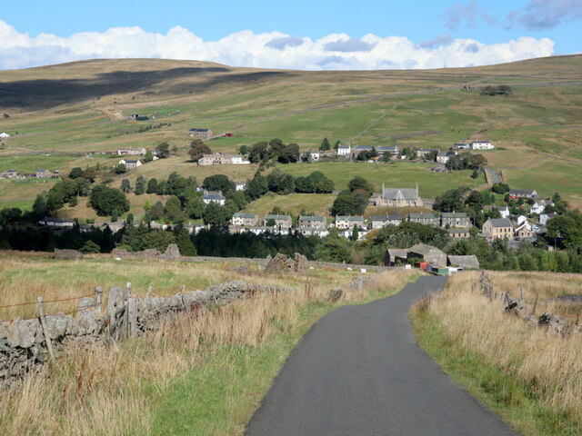
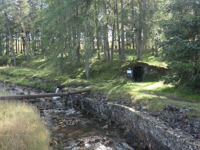
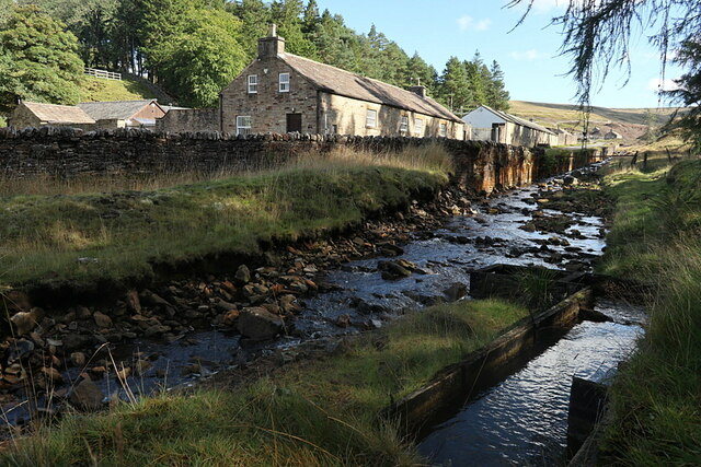
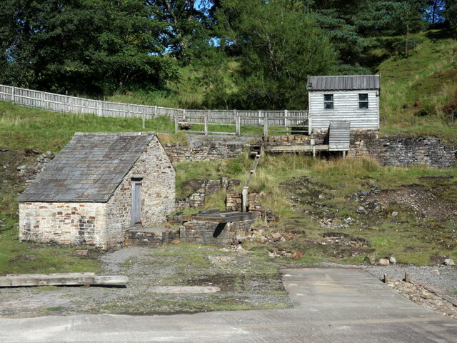
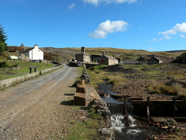
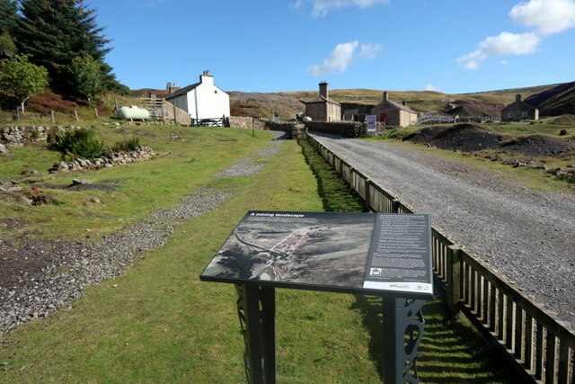
Images are sourced within 2km of 54.774602/-2.3578508 or Grid Reference NY7742. Thanks to Geograph Open Source API. All images are credited.

Holmsfoot on the A689 in Nenthead
Nenthead, beside the Community Shop A corner of Nenthead village.
Nenthead, beside the Community Shop
A corner of Nenthead village.
Hilltop near Nenthead
Road leading off the A689 in Nenthead Leads to public conveniences, surgery, restaurants and the Nenthead Mines Museum
Road leading off the A689 in Nenthead
Leads to public conveniences, surgery, restaurants and the Nenthead Mines Museum
The River Nent at Holmsfoot, Nenthead Here, and elsewhere, the river banks have been reinforced. As Nenthead was once the centre of large scale lead mining activity, I assume that much of the ground has been reclaimed from poorly consolidated mine waste.
The River Nent at Holmsfoot, Nenthead
Here, and elsewhere, the river banks have been reinforced. As Nenthead was once the centre of large scale lead mining activity, I assume that much of the ground has been reclaimed from poorly consolidated mine waste.
Wesleyan Methodist Church, Nenthead Listed Grade II, with a date stone for 1873. "The Quaker-owned London Lead Company, lessee of the area’s mines, was keen to encourage nonconformist faith within its mining communities and, in common with many villages in the North Pennines, Nenthead was provided with both a Primitive and a Wesleyan Methodist chapel. John Wesley is known to have preached in the area in the mid and later C18." <span class="nowrap"><a title="https://historicengland.org.uk/listing/the-list/list-entry/1408095?section=official-list-entry" rel="nofollow ugc noopener" href="https://historicengland.org.uk/listing/the-list/list-entry/1408095?section=official-list-entry">Link</a><img style="margin-left:2px;" alt="External link" title="External link - shift click to open in new window" src="https://s1.geograph.org.uk/img/external.png" width="10" height="10"/></span>
Wesleyan Methodist Church, Nenthead
Listed Grade II, with a date stone for 1873. "The Quaker-owned London Lead Company, lessee of the area’s mines, was keen to encourage nonconformist faith within its mining communities and, in common with many villages in the North Pennines, Nenthead was provided with both a Primitive and a Wesleyan Methodist chapel. John Wesley is known to have preached in the area in the mid and later C18." LinkExternal link
Track entering Nenthead on The Row
A football fan's garden wall The low wall bounding the rear of a house garden on Hillersdon Terrace in Nenthead is clearly the home of a football fan - it has the insignia of 20 teams in the English Premier Football League attached to it. It's assumed that the teams represented are those from a certain league season but a little casual research has failed to discover which season that was.
A football fan's garden wall
The low wall bounding the rear of a house garden on Hillersdon Terrace in Nenthead is clearly the home of a football fan - it has the insignia of 20 teams in the English Premier Football League attached to it. It's assumed that the teams represented are those from a certain league season but a little casual research has failed to discover which season that was.
Footpath between bank and low wall The path is the route of Isaac's Tea Trail reaching or leaving the old lead mining village of Nenthead.
Isaac's Tea Trail is a 37 mile walk along the circuit followed by Isaac Holden as a tea seller.
There's added interest on this stretch of the trail as it passes a garden or gardens in which there are dozens of beautifully crafted models of houses and other buildings; many can be seen in the image.
Footpath between bank and low wall
The path is the route of Isaac's Tea Trail reaching or leaving the old lead mining village of Nenthead. Isaac's Tea Trail is a 37 mile walk along the circuit followed by Isaac Holden as a tea seller. There's added interest on this stretch of the trail as it passes a garden or gardens in which there are dozens of beautifully crafted models of houses and other buildings; many can be seen in the image.
Cotton-grass beside Fiddler Street The moorland with massed seed heads of cotton-grass, (which is a sedge and not a grass), is on the south side of Fiddler Street, the minor road connecting Nenthead with Garrigill.
Cross Fell is the distant mountain just right of centre. The two Dun Fells are left of it.
Cotton-grass beside Fiddler Street
The moorland with massed seed heads of cotton-grass, (which is a sedge and not a grass), is on the south side of Fiddler Street, the minor road connecting Nenthead with Garrigill. Cross Fell is the distant mountain just right of centre. The two Dun Fells are left of it.
Nenthead from south-west
Disused mine level by River Nent “The Nenthead mining complex is regarded as the most intact mining landscape within the North Pennines. The main importance of the site lies in t he unusually high level of preservation not only of the obvious features such as the buildings and dams, but also the network of roadways built by the London Lead Company. The wide range of mining features provide an important resource for the study of the developments in mining technology in the 18th and 19th centuries, particularly the development of deep mining based on long adits (levels)”
Lead mines, ore works and smeltmill at Nenthead (Scheduled Monument 1015858): <span class="nowrap"><a title="https://historicengland.org.uk/listing/the-list/list-entry/1015858" rel="nofollow ugc noopener" href="https://historicengland.org.uk/listing/the-list/list-entry/1015858">Link</a><img style="margin-left:2px;" alt="External link" title="External link - shift click to open in new window" src="https://s1.geograph.org.uk/img/external.png" width="10" height="10"/></span>
Northern Archaeological Associates unpublished report series: <span class="nowrap"><a title="https://doi.org/10.5284/1038679" rel="nofollow ugc noopener" href="https://doi.org/10.5284/1038679">Link</a><img style="margin-left:2px;" alt="External link" title="External link - shift click to open in new window" src="https://s1.geograph.org.uk/img/external.png" width="10" height="10"/></span>
Disused mine level by River Nent
“The Nenthead mining complex is regarded as the most intact mining landscape within the North Pennines. The main importance of the site lies in t he unusually high level of preservation not only of the obvious features such as the buildings and dams, but also the network of roadways built by the London Lead Company. The wide range of mining features provide an important resource for the study of the developments in mining technology in the 18th and 19th centuries, particularly the development of deep mining based on long adits (levels)” Lead mines, ore works and smeltmill at Nenthead (Scheduled Monument 1015858): LinkExternal link Northern Archaeological Associates unpublished report series: LinkExternal link
River Nent “The Nenthead mining complex is regarded as the most intact mining landscape within the North Pennines. The main importance of the site lies in t he unusually high level of preservation not only of the obvious features such as the buildings and dams, but also the network of roadways built by the London Lead Company. The wide range of mining features provide an important resource for the study of the developments in mining technology in the 18th and 19th centuries, particularly the development of deep mining based on long adits (levels)”
Lead mines, ore works and smeltmill at Nenthead (Scheduled Monument 1015858): <span class="nowrap"><a title="https://historicengland.org.uk/listing/the-list/list-entry/1015858" rel="nofollow ugc noopener" href="https://historicengland.org.uk/listing/the-list/list-entry/1015858">Link</a><img style="margin-left:2px;" alt="External link" title="External link - shift click to open in new window" src="https://s1.geograph.org.uk/img/external.png" width="10" height="10"/></span>
Northern Archaeological Associates unpublished report series: <span class="nowrap"><a title="https://doi.org/10.5284/1038679" rel="nofollow ugc noopener" href="https://doi.org/10.5284/1038679">Link</a><img style="margin-left:2px;" alt="External link" title="External link - shift click to open in new window" src="https://s1.geograph.org.uk/img/external.png" width="10" height="10"/></span>
River Nent
“The Nenthead mining complex is regarded as the most intact mining landscape within the North Pennines. The main importance of the site lies in t he unusually high level of preservation not only of the obvious features such as the buildings and dams, but also the network of roadways built by the London Lead Company. The wide range of mining features provide an important resource for the study of the developments in mining technology in the 18th and 19th centuries, particularly the development of deep mining based on long adits (levels)” Lead mines, ore works and smeltmill at Nenthead (Scheduled Monument 1015858): LinkExternal link Northern Archaeological Associates unpublished report series: LinkExternal link
Nenthead Lead Mines Heritage Centre “The Nenthead mining complex is regarded as the most intact mining landscape within the North Pennines. The main importance of the site lies in t he unusually high level of preservation not only of the obvious features such as the buildings and dams, but also the network of roadways built by the London Lead Company. The wide range of mining features provide an important resource for the study of the developments in mining technology in the 18th and 19th centuries, particularly the development of deep mining based on long adits (levels)”
Lead mines, ore works and smeltmill at Nenthead (Scheduled Monument 1015858): <span class="nowrap"><a title="https://historicengland.org.uk/listing/the-list/list-entry/1015858" rel="nofollow ugc noopener" href="https://historicengland.org.uk/listing/the-list/list-entry/1015858">Link</a><img style="margin-left:2px;" alt="External link" title="External link - shift click to open in new window" src="https://s1.geograph.org.uk/img/external.png" width="10" height="10"/></span>
Northern Archaeological Associates unpublished report series: <span class="nowrap"><a title="https://doi.org/10.5284/1038679" rel="nofollow ugc noopener" href="https://doi.org/10.5284/1038679">Link</a><img style="margin-left:2px;" alt="External link" title="External link - shift click to open in new window" src="https://s1.geograph.org.uk/img/external.png" width="10" height="10"/></span>
Nenthead Lead Mines Heritage Centre
“The Nenthead mining complex is regarded as the most intact mining landscape within the North Pennines. The main importance of the site lies in t he unusually high level of preservation not only of the obvious features such as the buildings and dams, but also the network of roadways built by the London Lead Company. The wide range of mining features provide an important resource for the study of the developments in mining technology in the 18th and 19th centuries, particularly the development of deep mining based on long adits (levels)” Lead mines, ore works and smeltmill at Nenthead (Scheduled Monument 1015858): LinkExternal link Northern Archaeological Associates unpublished report series: LinkExternal link
Track to Nenthead Mines Heritage Centre “The Nenthead mining complex is regarded as the most intact mining landscape within the North Pennines. The main importance of the site lies in t he unusually high level of preservation not only of the obvious features such as the buildings and dams, but also the network of roadways built by the London Lead Company. The wide range of mining features provide an important resource for the study of the developments in mining technology in the 18th and 19th centuries, particularly the development of deep mining based on long adits (levels)”
Lead mines, ore works and smeltmill at Nenthead (Scheduled Monument 1015858): <span class="nowrap"><a title="https://historicengland.org.uk/listing/the-list/list-entry/1015858" rel="nofollow ugc noopener" href="https://historicengland.org.uk/listing/the-list/list-entry/1015858">Link</a><img style="margin-left:2px;" alt="External link" title="External link - shift click to open in new window" src="https://s1.geograph.org.uk/img/external.png" width="10" height="10"/></span>
Northern Archaeological Associates unpublished report series: <span class="nowrap"><a title="https://doi.org/10.5284/1038679" rel="nofollow ugc noopener" href="https://doi.org/10.5284/1038679">Link</a><img style="margin-left:2px;" alt="External link" title="External link - shift click to open in new window" src="https://s1.geograph.org.uk/img/external.png" width="10" height="10"/></span>
Track to Nenthead Mines Heritage Centre
“The Nenthead mining complex is regarded as the most intact mining landscape within the North Pennines. The main importance of the site lies in t he unusually high level of preservation not only of the obvious features such as the buildings and dams, but also the network of roadways built by the London Lead Company. The wide range of mining features provide an important resource for the study of the developments in mining technology in the 18th and 19th centuries, particularly the development of deep mining based on long adits (levels)” Lead mines, ore works and smeltmill at Nenthead (Scheduled Monument 1015858): LinkExternal link Northern Archaeological Associates unpublished report series: LinkExternal link
Information board, Nenthead Mines Heritage Centre “The Nenthead mining complex is regarded as the most intact mining landscape within the North Pennines. The main importance of the site lies in t he unusually high level of preservation not only of the obvious features such as the buildings and dams, but also the network of roadways built by the London Lead Company. The wide range of mining features provide an important resource for the study of the developments in mining technology in the 18th and 19th centuries, particularly the development of deep mining based on long adits (levels)”
Lead mines, ore works and smeltmill at Nenthead (Scheduled Monument 1015858): <span class="nowrap"><a title="https://historicengland.org.uk/listing/the-list/list-entry/1015858" rel="nofollow ugc noopener" href="https://historicengland.org.uk/listing/the-list/list-entry/1015858">Link</a><img style="margin-left:2px;" alt="External link" title="External link - shift click to open in new window" src="https://s1.geograph.org.uk/img/external.png" width="10" height="10"/></span>
Northern Archaeological Associates unpublished report series: <span class="nowrap"><a title="https://doi.org/10.5284/1038679" rel="nofollow ugc noopener" href="https://doi.org/10.5284/1038679">Link</a><img style="margin-left:2px;" alt="External link" title="External link - shift click to open in new window" src="https://s1.geograph.org.uk/img/external.png" width="10" height="10"/></span>
Information board, Nenthead Mines Heritage Centre
“The Nenthead mining complex is regarded as the most intact mining landscape within the North Pennines. The main importance of the site lies in t he unusually high level of preservation not only of the obvious features such as the buildings and dams, but also the network of roadways built by the London Lead Company. The wide range of mining features provide an important resource for the study of the developments in mining technology in the 18th and 19th centuries, particularly the development of deep mining based on long adits (levels)” Lead mines, ore works and smeltmill at Nenthead (Scheduled Monument 1015858): LinkExternal link Northern Archaeological Associates unpublished report series: LinkExternal link
Information board, Nenthead Mines Heritage Centre
Mill Cottage & Bunkhouse, Nenthead Mines Heritage Centre “The Nenthead mining complex is regarded as the most intact mining landscape within the North Pennines. The main importance of the site lies in t he unusually high level of preservation not only of the obvious features such as the buildings and dams, but also the network of roadways built by the London Lead Company. The wide range of mining features provide an important resource for the study of the developments in mining technology in the 18th and 19th centuries, particularly the development of deep mining based on long adits (levels)”
Lead mines, ore works and smeltmill at Nenthead (Scheduled Monument 1015858): <span class="nowrap"><a title="https://historicengland.org.uk/listing/the-list/list-entry/1015858" rel="nofollow ugc noopener" href="https://historicengland.org.uk/listing/the-list/list-entry/1015858">Link</a><img style="margin-left:2px;" alt="External link" title="External link - shift click to open in new window" src="https://s1.geograph.org.uk/img/external.png" width="10" height="10"/></span>
Northern Archaeological Associates unpublished report series: <span class="nowrap"><a title="https://doi.org/10.5284/1038679" rel="nofollow ugc noopener" href="https://doi.org/10.5284/1038679">Link</a><img style="margin-left:2px;" alt="External link" title="External link - shift click to open in new window" src="https://s1.geograph.org.uk/img/external.png" width="10" height="10"/></span>
Mill Cottage & Bunkhouse, Nenthead Mines Heritage Centre
“The Nenthead mining complex is regarded as the most intact mining landscape within the North Pennines. The main importance of the site lies in t he unusually high level of preservation not only of the obvious features such as the buildings and dams, but also the network of roadways built by the London Lead Company. The wide range of mining features provide an important resource for the study of the developments in mining technology in the 18th and 19th centuries, particularly the development of deep mining based on long adits (levels)” Lead mines, ore works and smeltmill at Nenthead (Scheduled Monument 1015858): LinkExternal link Northern Archaeological Associates unpublished report series: LinkExternal link
Show me another place!

Flinty Fell is located at Grid Ref: NY7742 (Lat: 54.774602, Lng: -2.3578508)

Administrative County: Cumbria

District: Eden

Police Authority: Cumbria

What 3 Words

///starring.evoked.overtones. Near Alston, Cumbria

Nearby Locations

Flinty Fell

Related Wikis

Rampghill mine

Rampgill mine is a disused lead mine at Nenthead, Alston Moor, Cumbria, England UK Grid Reference: NY78184351It was one of the most extensive and productive...
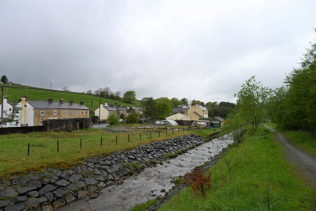
Nenthead

Nenthead ( NENT-hed) in the county of Cumbria is one of England's highest villages, at around 1,437 feet (438 m). It was not built until the middle of...

Ashgill Force

Ashgill Force is a waterfall near Alston, Cumbria, England. The fall is located on Ashgill Beck and is reasonably easily accessible from the B6277 (which...
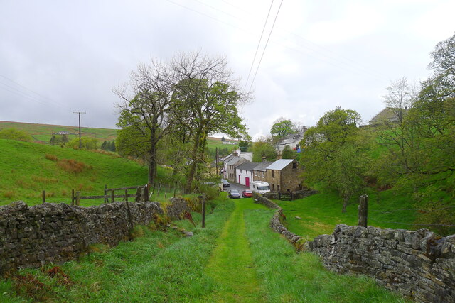
Garrigill

Garrigill, Cumbria is a small village in the North Pennine region of the UK, situated on the banks and close to the source of the River South Tyne. Historically...

Nearby Amenities

Located within 500m of 54.774602,-2.3578508
Flinty Fell
Ele: 613.6
Man Made: survey_point
Source: NPE
Lat/Long: 54.7718662/-2.3567824
Historic: mine_shaft
Source: Bing
Lat/Long: 54.7742897/-2.357078
Historic: mine_shaft
Source: Bing
Lat/Long: 54.7744268/-2.3552589
Historic: mine_shaft
Source: Bing
Lat/Long: 54.774498/-2.3530112
Historic: mine_shaft
Source: Bing
Lat/Long: 54.7741317/-2.3513429
Historic: mine_shaft
Source: Bing
Lat/Long: 54.7743555/-2.3597589
Historic: mine_shaft
Source: Bing
Lat/Long: 54.7747299/-2.3595711
Historic: mine_shaft
Source: Bing
Lat/Long: 54.7743189/-2.3568862
Historic: mine_shaft
Source: Bing
Lat/Long: 54.7735541/-2.357571
Historic: mine_shaft
Source: Bing
Lat/Long: 54.7743744/-2.3566973
Historic: mine_shaft
Source: Bing
Lat/Long: 54.77448/-2.3535024
Historic: mine_shaft
Source: Bing
Lat/Long: 54.7742457/-2.3572247
Historic: mine_shaft
Source: Bing
Lat/Long: 54.7744873/-2.3559148
Historic: mine_shaft
Source: Bing
Lat/Long: 54.7745349/-2.3550497
Historic: mine_shaft
Source: Bing
Lat/Long: 54.7744473/-2.3518188
Historic: mine_shaft
Source: Bing
Lat/Long: 54.7742642/-2.3524628
Historic: mine_shaft
Source: Bing
Lat/Long: 54.774354/-2.3549598
Historic: mine_shaft
Source: Bing
Lat/Long: 54.774311/-2.3571837
Historic: mine_shaft
Source: Bing
Lat/Long: 54.7739006/-2.3604294
Historic: mine_shaft
Source: Bing
Lat/Long: 54.7740495/-2.3595287
Historic: mine_shaft
Source: Bing
Lat/Long: 54.7746063/-2.3602363
Historic: mine_shaft
Source: Bing
Lat/Long: 54.7743628/-2.35639
Historic: mine_shaft
Source: Bing
Lat/Long: 54.774083/-2.3578884
Historic: mine_shaft
Source: Bing
Lat/Long: 54.7748351/-2.3580589
Historic: mine_shaft
Source: Bing
Lat/Long: 54.7745318/-2.359673
Historic: mine_shaft
Source: Bing
Lat/Long: 54.7741733/-2.357662
Historic: mine_shaft
Source: Bing
Lat/Long: 54.7745412/-2.3558367
Historic: mine_shaft
Source: Bing
Lat/Long: 54.7744483/-2.3539607
Historic: mine_shaft
Source: Bing
Lat/Long: 54.7742719/-2.3573671
Historic: mine_shaft
Source: Bing
Lat/Long: 54.774702/-2.3555593
Historic: mine_shaft
Source: Bing
Lat/Long: 54.7742523/-2.3529116
Historic: mine_shaft
Source: Bing
Lat/Long: 54.7747918/-2.3532771
Historic: mine_shaft
Source: Bing
Lat/Long: 54.7741166/-2.3540893
Historic: mine_shaft
Source: Bing
Lat/Long: 54.7743356/-2.3516091
Historic: mine_shaft
Source: Bing
Lat/Long: 54.7748629/-2.3579891
Historic: mine_shaft
Source: Bing
Lat/Long: 54.7745256/-2.3588957
Historic: mine_shaft
Source: Bing
Lat/Long: 54.7746216/-2.3525982
Historic: mine_shaft
Source: Bing
Lat/Long: 54.7771027/-2.3526523
Historic: mine_shaft
Source: Bing
Lat/Long: 54.7766513/-2.3639053
Historic: mine_shaft
Source: Bing
Lat/Long: 54.778099/-2.3536609
Historic: mine_shaft
Source: Bing
Lat/Long: 54.7769542/-2.3529635
Historic: mine_shaft
Source: Bing
Lat/Long: 54.7776287/-2.3522017
Historic: mine_shaft
Source: Bing
Lat/Long: 54.7773317/-2.3519228
Abandoned: yes
Historic: mine_shaft
Source: Bing
Lat/Long: 54.7772698/-2.3605042
Historic: mine_shaft
Source: Bing
Lat/Long: 54.7737838/-2.3546444
Historic: mine_shaft
Source: Bing
Lat/Long: 54.7743716/-2.3554482
Historic: mine_shaft
Source: Bing
Lat/Long: 54.7743874/-2.3562368
Abandoned: yes
Man Made: mineshaft
Lat/Long: 54.7751184/-2.3619709
Abandoned: yes
Man Made: mineshaft
Lat/Long: 54.7789263/-2.3573104
Abandoned: yes
Man Made: mineshaft
Lat/Long: 54.7785154/-2.3579656
Abandoned: yes
Man Made: mineshaft
Lat/Long: 54.7783802/-2.3583449
Abandoned: yes
Man Made: mineshaft
Lat/Long: 54.7776365/-2.3599185
Abandoned: yes
Man Made: mineshaft
Lat/Long: 54.7769521/-2.361288
Abandoned: yes
Man Made: mineshaft
Lat/Long: 54.7780018/-2.3592196
Abandoned: yes
Man Made: mineshaft
Lat/Long: 54.7775009/-2.3615322
Historic: mine_shaft
Source: Bing
Lat/Long: 54.7760246/-2.3521219
Historic: mine_shaft
Source: Bing
Lat/Long: 54.7767061/-2.3544152
Historic: mine_shaft
Source: Bing
Lat/Long: 54.7766881/-2.3552292
Historic: mine_shaft
Source: Bing
Lat/Long: 54.7763871/-2.3552851
Historic: mine_shaft
Source: Bing
Lat/Long: 54.7764552/-2.3556393
Historic: mine_shaft
Source: Bing
Lat/Long: 54.7765018/-2.3560929
Historic: mine_shaft
Source: Bing
Lat/Long: 54.7764229/-2.356329
Historic: mine_shaft
Source: Bing
Lat/Long: 54.7762043/-2.3562669
Barrier: stile
Lat/Long: 54.7747738/-2.3606434
Flinty Fell
Ele: 614
Natural: peak
Lat/Long: 54.7718261/-2.3567814
Power: pole
Lat/Long: 54.7767911/-2.3644914
Power: pole
Lat/Long: 54.7772192/-2.3633532
Power: pole
Lat/Long: 54.7776873/-2.3621903
Power: pole
Lat/Long: 54.7780797/-2.3611907
Power: pole
Lat/Long: 54.7784993/-2.3600723
Power: pole
Lat/Long: 54.7790301/-2.3589886
The data included in this document is from www.openstreetmap.org. The data is made available under ODbL.

Have you been to Flinty Fell?

Leave your review of Flinty Fell below (or comments, questions and feedback).