Slack's Rigg

Hill, Mountain in Cumberland Eden

England

Slack's Rigg

Heather moorland on south side of Burnhope Seat Low-angled heather moorland descending to the south on the southern side of Burnhope Seat which is the historic high point of County Durham. County boundary reorganisation in 1972, (enacted 1974), saw that change and now the county top is Mickle Fell, which is the distant dark ridge. Previously it had been the county top of Yorkshire.
Heather moorland on south side of Burnhope Seat Credit: Trevor Littlewood

Slack's Rigg is a prominent hill located in the county of Cumberland, in the northwestern region of England. Standing at an elevation of approximately 1,800 feet (549 meters), it is part of the larger group of hills known as the Pennines, which stretch across the northern part of the country.

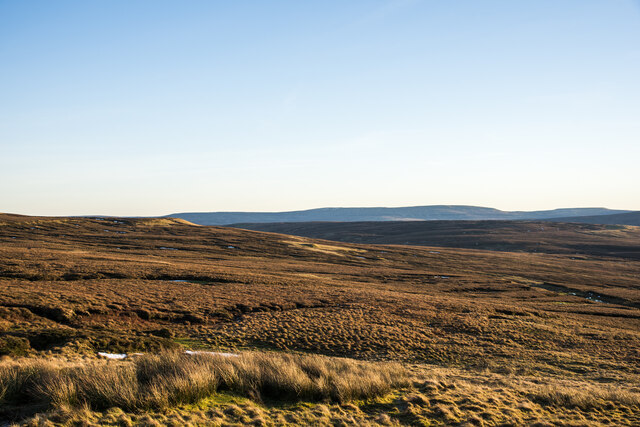
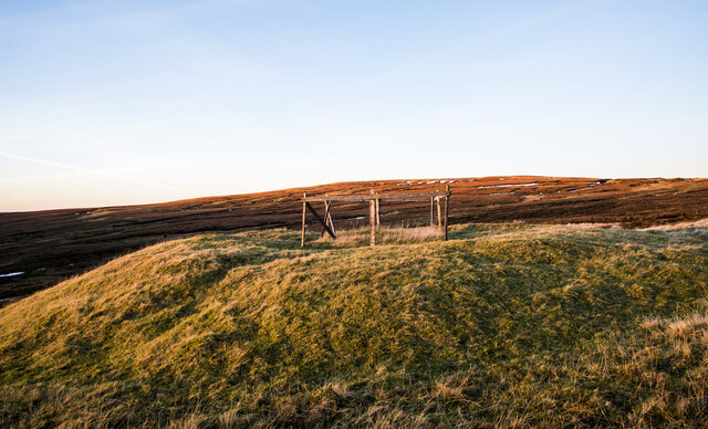
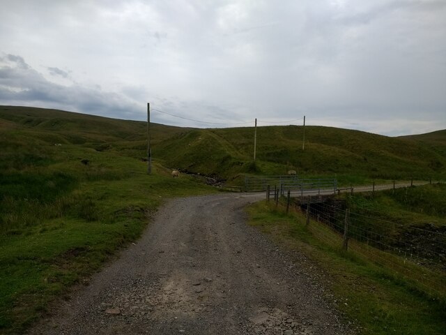
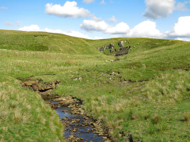
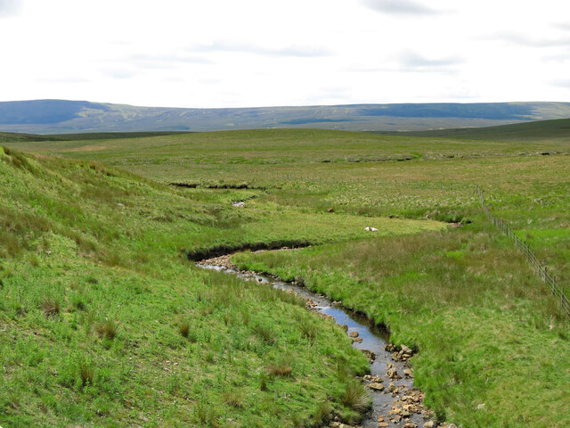
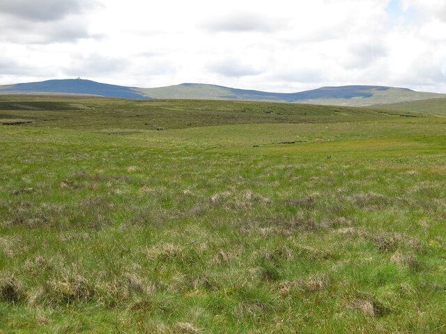
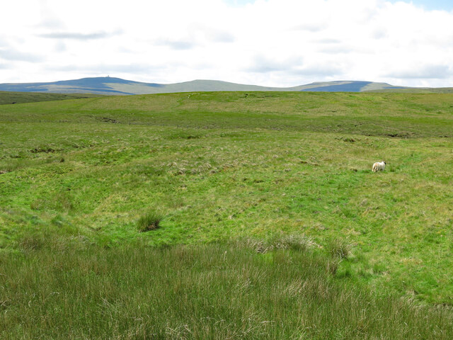
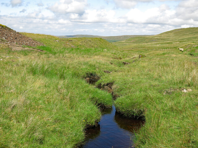
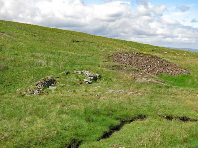
The hill is situated within the stunning landscape of the North Pennines Area of Outstanding Natural Beauty, renowned for its rugged terrain and picturesque countryside. Slack's Rigg offers breathtaking panoramic views across the surrounding countryside, with rolling hills, deep valleys, and scattered farms adding to its charm.

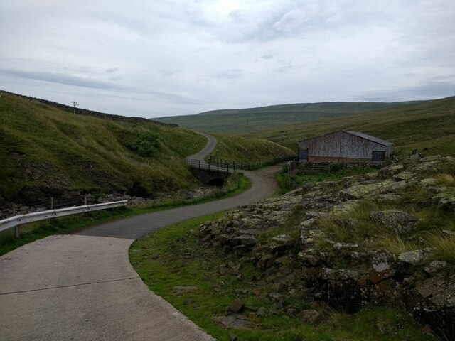
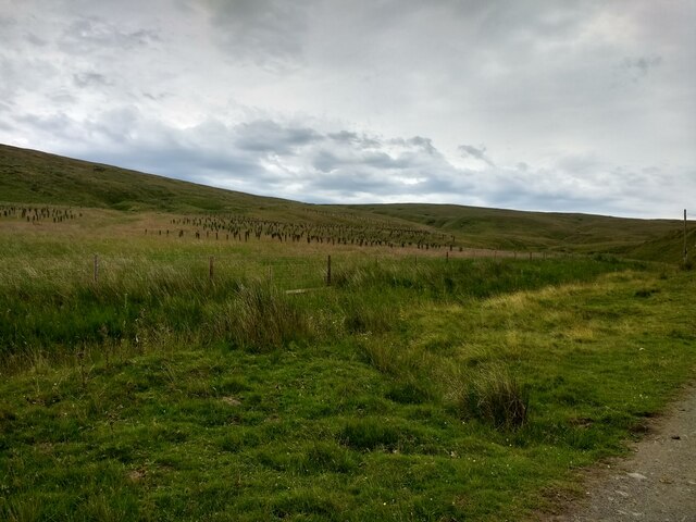
The hill is a popular destination for walkers, hikers, and nature enthusiasts, who are drawn by its natural beauty and tranquility. It is accessible via several footpaths and trails that wind through the area, allowing visitors to explore its diverse flora and fauna. The hill is home to various wildlife species, including birds of prey, such as kestrels and buzzards, as well as a variety of plant species that thrive in the upland environment.

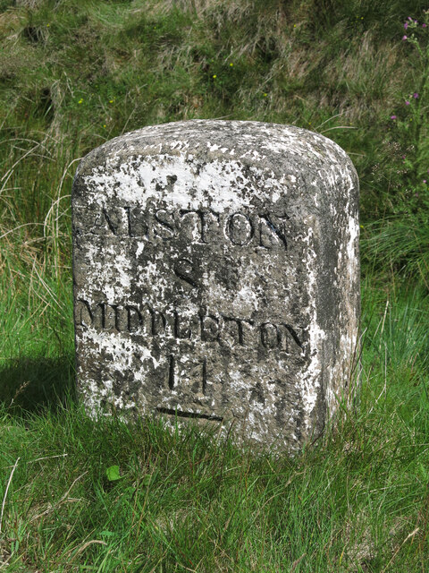
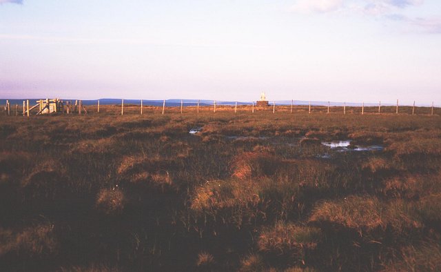
The summit of Slack's Rigg provides a vantage point to admire the surrounding landscape, including nearby fells and valleys. On a clear day, one can even catch a glimpse of the distant Lake District National Park to the west. The hill's location within the North Pennines also means it is within close proximity to other notable attractions, such as the historic market town of Alston and the UNESCO Global Geopark at the North Pennines AONB.

Overall, Slack's Rigg is a captivating hill in the Cumberland region, offering visitors a chance to immerse themselves in the natural beauty and tranquility of the North Pennines.

If you have any feedback on the listing, please let us know in the comments section below.
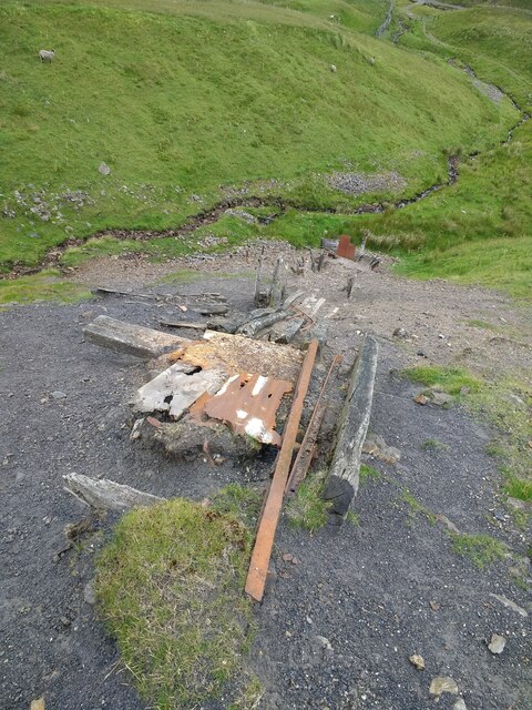
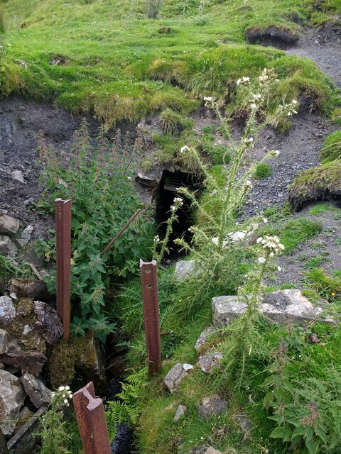
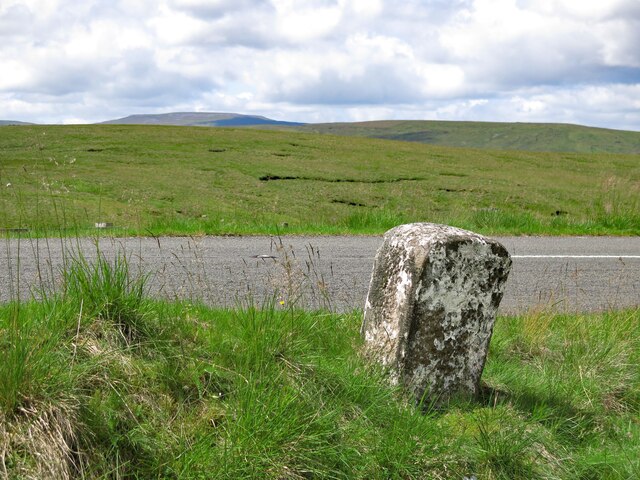
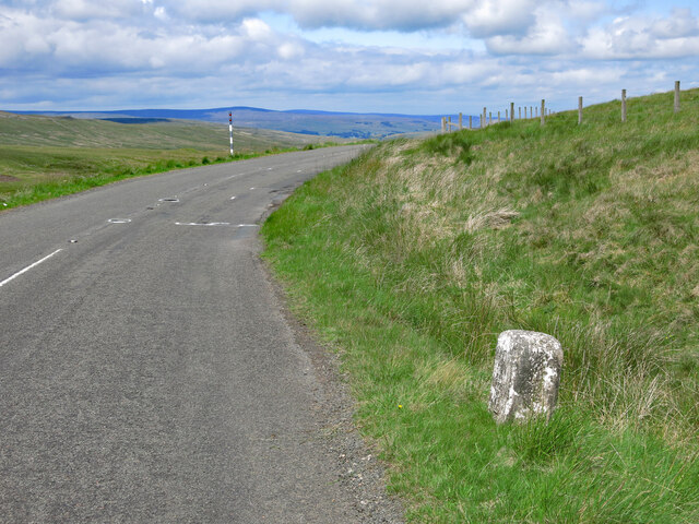
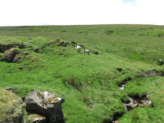
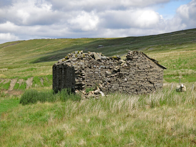
Slack's Rigg Images

Images are sourced within 2km of 54.720917/-2.3574706 or Grid Reference NY7736. Thanks to Geograph Open Source API. All images are credited.

Heather moorland on south side of Burnhope Seat Low-angled heather moorland descending to the south on the southern side of Burnhope Seat which is the historic high point of County Durham. County boundary reorganisation in 1972, (enacted 1974), saw that change and now the county top is Mickle Fell, which is the distant dark ridge. Previously it had been the county top of Yorkshire.
Heather moorland on south side of Burnhope Seat
Low-angled heather moorland descending to the south on the southern side of Burnhope Seat which is the historic high point of County Durham. County boundary reorganisation in 1972, (enacted 1974), saw that change and now the county top is Mickle Fell, which is the distant dark ridge. Previously it had been the county top of Yorkshire.
Fenced mine shaft north of Yad Moss OS mapping (1:25 000), indicates a number of old mine shafts in the vicinity of Yad Moss. The one in view has a prominent 'collar' of spoil about it and is fenced. The shaft isn't open and the top is grassed over with rocks protruding.
Sunset was close and sunlight was about to disappear from the vicinity of the shaft but to the north, the summit area of Burnhope Seat was still well lit.
Fenced mine shaft north of Yad Moss
OS mapping (1:25 000), indicates a number of old mine shafts in the vicinity of Yad Moss. The one in view has a prominent 'collar' of spoil about it and is fenced. The shaft isn't open and the top is grassed over with rocks protruding. Sunset was close and sunlight was about to disappear from the vicinity of the shaft but to the north, the summit area of Burnhope Seat was still well lit.
Barn and bridge over the South Tyne
Fence off tree planting area above the South Tyne
Bridge over a stream on the South Tyne trail track
Old makeshift incline on the spoil heap for an adit on Calvert Burn
Adit on Calvert Burn
Crook Burn
Crook Burn
Crook Burn (2)
Crook Burn (2)
Moorland around John's Burn Looking WSW towards (left to right) Great Dun Fell, Little Dun Fell and Cross Fell - the western horizon that dominates this area of moorland at the head of the River South Tyne.
Moorland around John's Burn
Looking WSW towards (left to right) Great Dun Fell, Little Dun Fell and Cross Fell - the western horizon that dominates this area of moorland at the head of the River South Tyne.
Slack's Rigg
Slack's Rigg
Old milestone by the B6277 north west of Crookburn Bridge See <a href="https://www.geograph.org.uk/photo/5622937">NY7736 : Old Milestone by the B6277, below Burnhope Seat</a> taken in 2202; since then, the milestone has lost most of its white paint, and only the horizontal top line of the benchmark is visible. 
The location of the milestone is shown in <a href="https://www.geograph.org.uk/photo/7548976">NY7736 : The B6277 north west of Crookburn Bridge and Slack's Rigg</a> and <a href="https://www.geograph.org.uk/photo/7548979">NY7736 : The B6277 north west of Crookburn Bridge</a>.
Old milestone by the B6277 north west of Crookburn Bridge
See NY7736 : Old Milestone by the B6277, below Burnhope Seat taken in 2202; since then, the milestone has lost most of its white paint, and only the horizontal top line of the benchmark is visible. The location of the milestone is shown in NY7736 : The B6277 north west of Crookburn Bridge and Slack's Rigg and NY7736 : The B6277 north west of Crookburn Bridge.
The B6277 north west of Crookburn Bridge and Slack's Rigg Shows the location of the <a href="https://www.geograph.org.uk/photo/7548967">NY7736 : Old milestone by the B6277 north west of Crookburn Bridge</a>; Cross Fell on the far horizon (half left).
The B6277 north west of Crookburn Bridge and Slack's Rigg
Shows the location of the NY7736 : Old milestone by the B6277 north west of Crookburn Bridge; Cross Fell on the far horizon (half left).
The B6277 north west of Crookburn Bridge Shows the location of the <a href="https://www.geograph.org.uk/photo/7548967">NY7736 : Old milestone by the B6277 north west of Crookburn Bridge</a>.
The B6277 north west of Crookburn Bridge
The upper valley of Clargill Burn
Old lead mine building by Clargill Burn The building had most of its stone slab roof in 2005 <a href="https://www.geograph.org.uk/photo/86968">NY7736 : Derelict hut next to Clargill Burn</a> (photographed by Andrew Smith; by 2017, much of the north end had collapsed <a href="https://www.geograph.org.uk/photo/5407950">NY7736 : Hiddenhole Lead Mine (disused)</a> (photographed by Matthew Hatton). Although there's now a 'B' road only 200 metres away, this is a desolate place, some 580 metres (1,900 ft) above sea level.
Old lead mine building by Clargill Burn
The building had most of its stone slab roof in 2005 NY7736 : Derelict hut next to Clargill Burn (photographed by Andrew Smith; by 2017, much of the north end had collapsed NY7736 : Hiddenhole Lead Mine (disused) (photographed by Matthew Hatton). Although there's now a 'B' road only 200 metres away, this is a desolate place, some 580 metres (1,900 ft) above sea level.
Clargill Burn by the former lead mine
Remains of lead mine by Clargill Burn
Show me another place!

Slack's Rigg is located at Grid Ref: NY7736 (Lat: 54.720917, Lng: -2.3574706)

Administrative County: Cumbria

District: Eden

Police Authority: Cumbria

What 3 Words

///level.initiated.airports. Near Alston, Cumbria

Nearby Locations

Slack's Rigg

Related Wikis

Moorhouse and Cross Fell

Moorhouse and Cross Fell is a Site of Special Scientific Interest covering an extensive area of moorland in the Wear Valley district of west County Durham...

Burnhope Seat

Burnhope Seat is a high moorland fell in the North Pennines Area of Outstanding Natural Beauty (AONB) in northern England. It lies between the heads of...

Ashgill Force

Ashgill Force is a waterfall near Alston, Cumbria, England. The fall is located on Ashgill Beck and is reasonably easily accessible from the B6277 (which...

Garrigill

Garrigill, Cumbria is a small village in the North Pennine region of the UK, situated on the banks and close to the source of the River South Tyne. Historically...

Nearby Amenities

Located within 500m of 54.720917,-2.3574706
Slack's Rigg
Ele: 608.4
Man Made: survey_point
Natural: peak
Source: NPE
Lat/Long: 54.7208939/-2.3572199
Historic: milestone
Lat/Long: 54.7219912/-2.3509789
Abandoned: yes
Man Made: adit
Lat/Long: 54.7239074/-2.3560495
Information: guidepost
Tourism: information
Lat/Long: 54.722393/-2.3516442
Natural: sinkhole
Lat/Long: 54.7239459/-2.3566679
Abandoned: yes
Description: Bell Pit
Man Made: mineshaft
Lat/Long: 54.7247766/-2.3565983
Natural: sinkhole
Lat/Long: 54.7214589/-2.3599761
Natural: sinkhole
Lat/Long: 54.7226062/-2.3598695
Natural: sinkhole
Lat/Long: 54.7226547/-2.3601939
Natural: sinkhole
Lat/Long: 54.7227419/-2.3601995
Natural: sinkhole
Lat/Long: 54.7228452/-2.3598527
Natural: sinkhole
Lat/Long: 54.7230067/-2.3599981
Natural: sinkhole
Lat/Long: 54.723152/-2.360384
Natural: sinkhole
Lat/Long: 54.7231262/-2.3607028
Natural: sinkhole
Lat/Long: 54.723236/-2.3613906
Natural: sinkhole
Lat/Long: 54.7236397/-2.3606077
Natural: sinkhole
Lat/Long: 54.7239595/-2.3611893
Natural: sinkhole
Lat/Long: 54.723798/-2.361262
Natural: sinkhole
Lat/Long: 54.7235396/-2.3613123
Natural: sinkhole
Lat/Long: 54.7233846/-2.3604958
Natural: sinkhole
Lat/Long: 54.7236979/-2.3594557
Natural: sinkhole
Lat/Long: 54.7238561/-2.3599814
Natural: sinkhole
Lat/Long: 54.7229195/-2.3592712
Natural: sinkhole
Lat/Long: 54.7227257/-2.3594892
Natural: sinkhole
Lat/Long: 54.7225578/-2.3594221
Natural: sinkhole
Lat/Long: 54.7218795/-2.3603281
Natural: sinkhole
Lat/Long: 54.7228323/-2.3610159
Natural: sinkhole
Lat/Long: 54.7225287/-2.3607139
Natural: sinkhole
Lat/Long: 54.7226159/-2.3609097
Natural: sinkhole
Lat/Long: 54.7228162/-2.3625929
Natural: sinkhole
Lat/Long: 54.7243018/-2.3615024
Natural: sinkhole
Lat/Long: 54.7242824/-2.3610663
Natural: sinkhole
Lat/Long: 54.7245731/-2.3612732
Natural: sinkhole
Lat/Long: 54.7245569/-2.361659
Natural: sinkhole
Lat/Long: 54.7246344/-2.3618268
Natural: sinkhole
Lat/Long: 54.7247152/-2.3612955
Natural: sinkhole
Lat/Long: 54.7244956/-2.3606301
Natural: sinkhole
Lat/Long: 54.7243535/-2.3618212
Natural: sinkhole
Lat/Long: 54.7241661/-2.3614577
Natural: sinkhole
Lat/Long: 54.7207258/-2.3587211
Natural: sinkhole
Lat/Long: 54.7208492/-2.3587924
Natural: sinkhole
Lat/Long: 54.7209128/-2.3588895
Natural: sinkhole
Lat/Long: 54.7207819/-2.3584491
Natural: sinkhole
Lat/Long: 54.7208418/-2.3580798
Natural: sinkhole
Lat/Long: 54.7207151/-2.3572959
Natural: sinkhole
Lat/Long: 54.7206881/-2.356954
Natural: sinkhole
Lat/Long: 54.7203805/-2.3572851
Natural: sinkhole
Lat/Long: 54.7205011/-2.3575694
Natural: sinkhole
Lat/Long: 54.7205135/-2.3578033
Natural: sinkhole
Lat/Long: 54.7205987/-2.3580696
Natural: sinkhole
Lat/Long: 54.7214371/-2.3555392
Natural: sinkhole
Lat/Long: 54.7213238/-2.3550504
Natural: sinkhole
Lat/Long: 54.7211914/-2.355188
Natural: sinkhole
Lat/Long: 54.7210108/-2.3552213
Natural: sinkhole
Lat/Long: 54.7208857/-2.3551671
Natural: sinkhole
Lat/Long: 54.7208953/-2.3549171
Natural: sinkhole
Lat/Long: 54.7213166/-2.3546753
Natural: sinkhole
Lat/Long: 54.7208496/-2.3546336
Natural: sinkhole
Lat/Long: 54.7207436/-2.3558799
Natural: sinkhole
Lat/Long: 54.7209555/-2.356205
Natural: sinkhole
Lat/Long: 54.720734/-2.3562509
Natural: sinkhole
Lat/Long: 54.7207003/-2.3566343
Natural: sinkhole
Lat/Long: 54.7209434/-2.3542585
Natural: sinkhole
Lat/Long: 54.7205944/-2.3548087
Natural: sinkhole
Lat/Long: 54.7202092/-2.3550421
Natural: sinkhole
Lat/Long: 54.7202381/-2.3553464
The data included in this document is from www.openstreetmap.org. The data is made available under ODbL.

Have you been to Slack's Rigg?

Leave your review of Slack's Rigg below (or comments, questions and feedback).