Monks Hill

Hill, Mountain in Gloucestershire Stroud

England

Monks Hill

The Severn at Bollow Bank, 2 Looking east, straight across the big river in its tidal phase.
The Severn at Bollow Bank, 2 Credit: Jonathan Billinger

Monks Hill, located in Gloucestershire, England, is a prominent hill that forms part of the scenic Cotswolds range. Standing at an elevation of approximately 220 meters (720 feet), it offers breathtaking panoramic views of the surrounding countryside. The hill is situated near the village of Uley, just west of Stroud, and is a popular destination for hikers, nature enthusiasts, and those seeking a peaceful retreat.

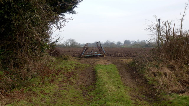
Monks Hill is characterized by its gentle slopes and lush greenery, adorned with a variety of flora and fauna native to the area. The hill is primarily covered in grass, interspersed with patches of trees and shrubs. It is a haven for wildlife, with numerous bird species, small mammals, and insects making their home in the area.

The hill's name is derived from the presence of a former monastic settlement that once existed nearby. The ruins of an ancient priory, known as the Uley Priory, can still be found at the base of Monks Hill, providing visitors with a glimpse into the region's rich historical past.

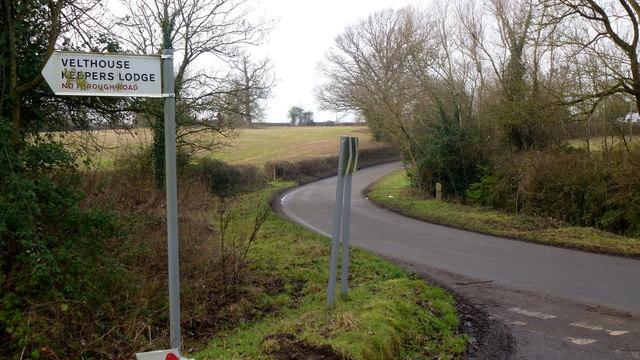
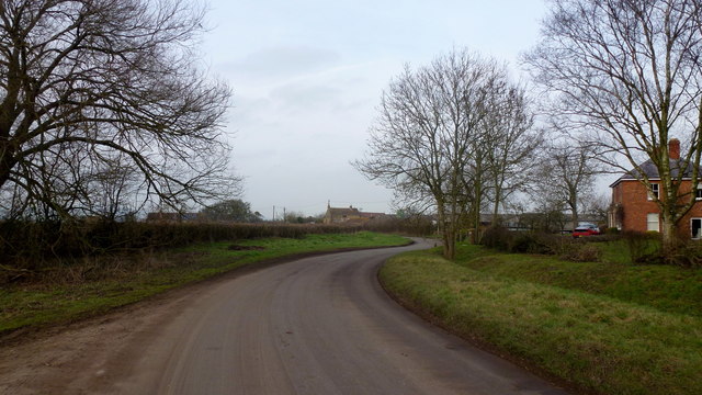
Due to its relatively low elevation, Monks Hill is easily accessible to hikers of all abilities. Several footpaths and trails wind their way up the hill, offering different routes and challenges for outdoor enthusiasts. The summit rewards visitors with breathtaking views across the rolling Gloucestershire countryside, making it a popular spot for picnics and photography.

Overall, Monks Hill is a picturesque and historically significant landmark in Gloucestershire, offering visitors a chance to connect with nature and immerse themselves in the region's rich heritage.

If you have any feedback on the listing, please let us know in the comments section below.
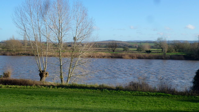
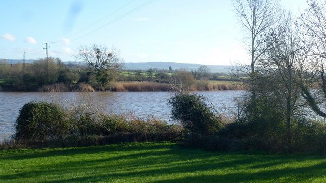
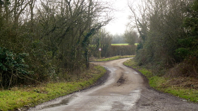
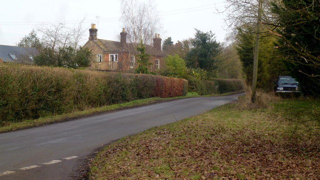
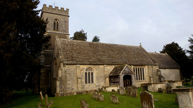
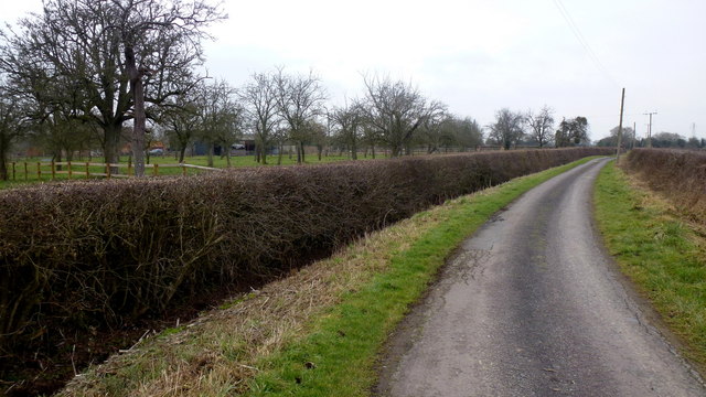
Monks Hill Images

Images are sourced within 2km of 51.817721/-2.3356657 or Grid Reference SO7613. Thanks to Geograph Open Source API. All images are credited.

The Severn at Bollow Bank, 2 Looking east, straight across the big river in its tidal phase.
The Severn at Bollow Bank, 2
Looking east, straight across the big river in its tidal phase.
The Severn at Bollow Bank, 3 Beyond the river in the far distance is the Cotswold scarp.
The Severn at Bollow Bank, 3
Beyond the river in the far distance is the Cotswold scarp.
Dead end lane to Velthouse A branch to the left heads south-east to Keeper's Lodge.
Dead end lane to Velthouse
A branch to the left heads south-east to Keeper's Lodge.
Kenton Green, Elmore, 1 By the junction with Velthouse Lane, looking east towards Gloucester.
Kenton Green, Elmore, 1
By the junction with Velthouse Lane, looking east towards Gloucester.
Kenton Green, Elmore, 2 Looking west towards Elmore church.
Kenton Green, Elmore, 2
Looking west towards Elmore church.
Footpath at Farley Corner. 1 The cultivator has been left in place ready for the next farming operation?
The path here heads east towards Elmore Court.
Footpath at Farley Corner. 1
The cultivator has been left in place ready for the next farming operation? The path here heads east towards Elmore Court.
Footpath at Farley Corner. 2 Path heads generally south towards Velthouse.
Footpath at Farley Corner. 2
Path heads generally south towards Velthouse.
Farley Corner Heads west towards Church Farm at Farley's End.
Farley Corner
Heads west towards Church Farm at Farley's End.
St. John the Baptist's church, Elmore Getting on for nine years since I last visited this spot. Unfortunately it was locked, as in 2008.
See <a href="https://www.geograph.org.uk/photo/759261">SO7614 : St. John's, view from the north-east</a> and <a href="https://www.geograph.org.uk/photo/759260">SO7614 : St. John the Baptist's church, Elmore</a>.
St. John the Baptist's church, Elmore
Getting on for nine years since I last visited this spot. Unfortunately it was locked, as in 2008. See SO7614 : St. John's, view from the north-east and SO7614 : St. John the Baptist's church, Elmore.
View from St. John's churchyard A pleasant view of rolling countryside within a big bend of the River Severn.
View from St. John's churchyard
A pleasant view of rolling countryside within a big bend of the River Severn.
St. John's noticeboard Service times and rusty drawing pins plus the first glimpse of the 2017 snowdrops.
St. John's noticeboard
Service times and rusty drawing pins plus the first glimpse of the 2017 snowdrops.
Galanthus nivalis, Common Snowdrop Seen in context by the noticeboard for St. John's.
Galanthus nivalis, Common Snowdrop
Seen in context by the noticeboard for St. John's.
Waterend Lane A dead-end lane, and the landowners around make sure you know it!
Old orchard to the left.
Waterend Lane
A dead-end lane, and the landowners around make sure you know it! Old orchard to the left.
Private track to Waterend Cottage Note the barrier; up as it happens...
Private track to Waterend Cottage
Note the barrier; up as it happens...
Lane to Castle End, Longney One of many scattered farms hereabouts.
Lane to Castle End, Longney
One of many scattered farms hereabouts.
View to Monk's Hill A 41m mountain with a trig point yet to be photographed for Geograph. It lies well away from public access so permission would need to be sought.
See Phil's identical shot from 2008; <a href="https://www.geograph.org.uk/photo/784586">SO7613 : Monks' Hill, Longney</a>.
View to Monk's Hill
A 41m mountain with a trig point yet to be photographed for Geograph. It lies well away from public access so permission would need to be sought. See Phil's identical shot from 2008; SO7613 : Monks' Hill, Longney.
Hardwicke Farm Evidence of poultry production here.
Hardwicke Farm
Evidence of poultry production here.
Bridleway to Kenton Green Via a track next to Madam's End Cottage.
Bridleway to Kenton Green
Via a track next to Madam's End Cottage.
Show me another place!

Monks Hill is located at Grid Ref: SO7613 (Lat: 51.817721, Lng: -2.3356657)

Administrative County: Gloucestershire

District: Stroud

Police Authority: Gloucestershire

What 3 Words

///sentences.cork.food. Near Frampton on Severn, Gloucestershire

Nearby Locations

Monks Hill Monks Hill Wood

Related Wikis

Longney

Longney is a village on the River Severn 5 miles south-west of Gloucester, Gloucestershire, England, within the parish of Longney and Epney. The parish...

Epney

Epney is a small village on the River Severn. It is 8 miles (13 km) South-West of Gloucester, Gloucestershire, England within the parish of Longney and...

St Nicholas Church, Hardwicke

Saint Nicholas Church is a grade I listed building located in Hardwicke, Gloucestershire. It practices Christianity through the Church of England denomination...

Hardwicke Court

Hardwicke Court is a Grade II* listed country house in Hardwicke, Gloucestershire, England. The house is Late Georgian in style. It was designed by Sir...

Elmore, Gloucestershire

For other places with the same name, see Elmore (disambiguation). Elmore is a village and civil parish, in the Stroud district of Gloucestershire, England...

Severn FM

Severn FM is an internet radio station in the United Kingdom, which started broadcasting online in June 2011, and officially launched from its studio in...

Walmore Common

Walmore Common (grid reference SO740162 & grid reference SO745150) is a 57.78-hectare (142.8-acre) nature reserve on the flood-plain of the River Severn...

Rodley, Gloucestershire

Rodley is a settlement in Westbury-on-Severn parish, Forest of Dean District, Gloucestershire, England. It lies to the south east of Westbury-on-Severn...

Nearby Amenities

Located within 500m of 51.817721,-2.3356657
Monks Hill
Created By: Potlatch 0.10f
Ele: 40
Natural: peak
Source: NPE
Lat/Long: 51.8185187/-2.3356188
The data included in this document is from www.openstreetmap.org. The data is made available under ODbL.

Have you been to Monks Hill?

Leave your review of Monks Hill below (or comments, questions and feedback).