Table Hill
Hill, Mountain in Worcestershire Malvern Hills
England
Table Hill

Table Hill is a prominent geographical feature located in the county of Worcestershire, England. Situated near the village of Kempsey, it is classified as a hill rather than a mountain, standing at an elevation of approximately 198 meters (650 feet) above sea level. The hill is part of the undulating landscape of the Malvern Hills Area of Outstanding Natural Beauty.
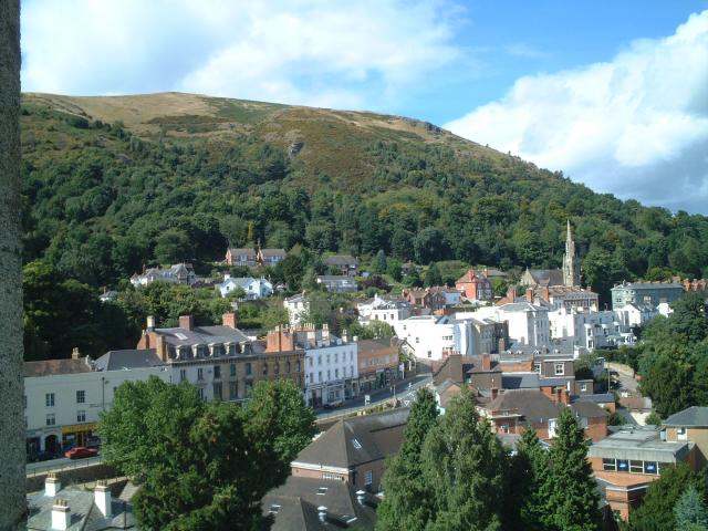
Table Hill is characterized by its distinctive flat top, which gives it its name. The summit of the hill offers breathtaking panoramic views of the surrounding countryside, including the River Severn and the nearby Malvern Hills. It is often regarded as an excellent vantage point for photographers and nature enthusiasts.
The hill is covered in a variety of vegetation, including grasses, wildflowers, and scattered patches of woodland. It provides a habitat for a diverse range of wildlife, such as rabbits, foxes, and numerous bird species.
Table Hill holds historical significance as well. It is believed to have been a site of ancient settlements, with archaeological evidence suggesting human activity in the area dating back thousands of years. The hill also has connections to local folklore and legends, further adding to its intrigue and appeal.
Access to Table Hill is relatively easy, with footpaths and trails leading to the summit. It is a popular destination for hikers, walkers, and nature lovers, offering an opportunity to explore the natural beauty of Worcestershire's countryside and immerse oneself in its rich history.
If you have any feedback on the listing, please let us know in the comments section below.
Table Hill Images
Images are sourced within 2km of 52.115425/-2.3417688 or Grid Reference SO7646. Thanks to Geograph Open Source API. All images are credited.


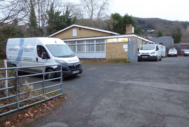


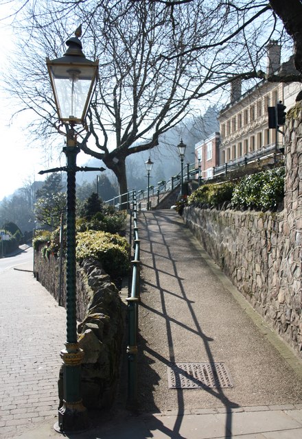
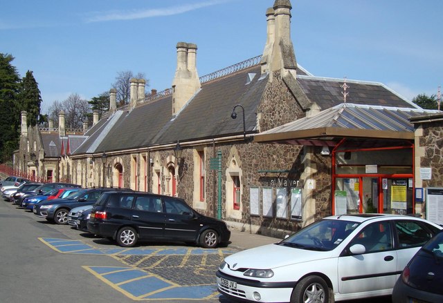
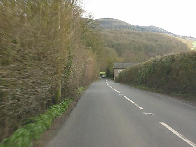
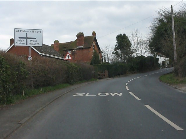
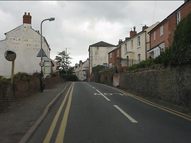
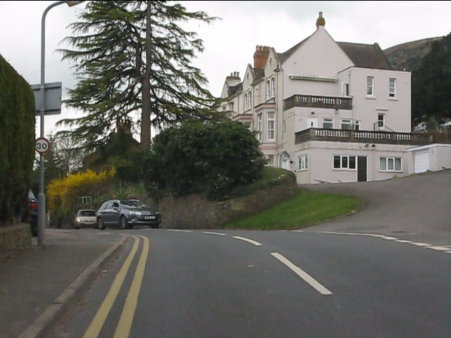
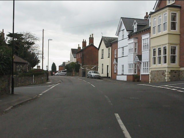
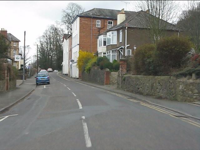
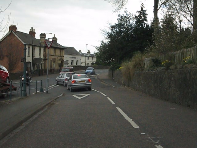
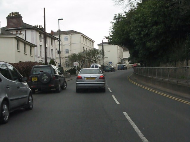
Table Hill is located at Grid Ref: SO7646 (Lat: 52.115425, Lng: -2.3417688)
Administrative County: Worcestershire
District: Malvern Hills
Police Authority: West Mercia
What 3 Words
///impressed.saucepan.compose. Near Great Malvern, Worcestershire
Nearby Locations
Related Wikis
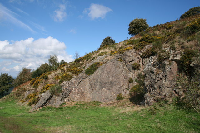
Table Hill
Table Hill is situated in the range of Malvern Hills that runs about 13 kilometres (8 mi) north-south along the Herefordshire-Worcestershire border. It...
North Hill, Malvern
North Hill is the second highest point of the range of Malvern Hills that runs about 13 kilometres (8.1 mi) north-south along the Herefordshire-Worcestershire...

West Malvern
West Malvern is a village and a civil parish on the west side of the north part of the Malvern Hills, on the western edge of Worcestershire, England. It...
Regents Theological College
Regents Theological College is a theological college in Malvern, Worcestershire, England. It is the training centre of the Elim Pentecostal Church. First...

End Hill
End Hill is the northernmost top of the Malvern Hills that runs approximately 13 kilometres (8 mi) north-south along the Herefordshire-Worcestershire border...

Sugarloaf Hill, Malvern
Sugarloaf Hill lies between the Worcestershire Beacon and North Hill in the range of Malvern Hills that runs about 13 kilometres (8 mi) north-south along...

North Malvern
North Malvern is a suburb of Malvern, Worcestershire, England. It nestles on the northern slopes of the Malvern Hills. It is a contiguous urban extension...

Clarendon School for Girls
Clarendon School for Girls was a girls' independent boarding school, which began in 1898 in Malvern, Worcestershire, England. It moved three times: first...
Nearby Amenities
Located within 500m of 52.115425,-2.3417688Have you been to Table Hill?
Leave your review of Table Hill below (or comments, questions and feedback).