Bull Hill

Hill, Mountain in Lancashire Rossendale

England

Bull Hill

Entrance to Clough House
Entrance to Clough House Credit: Chris Heaton

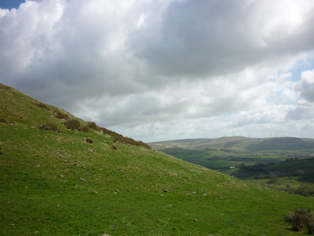
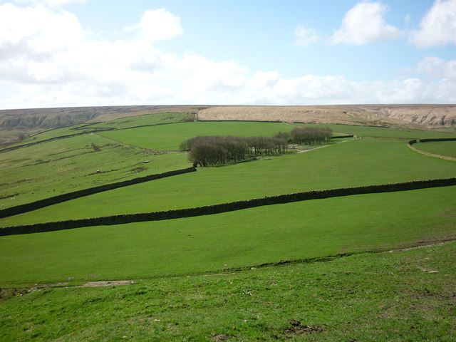
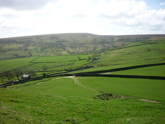
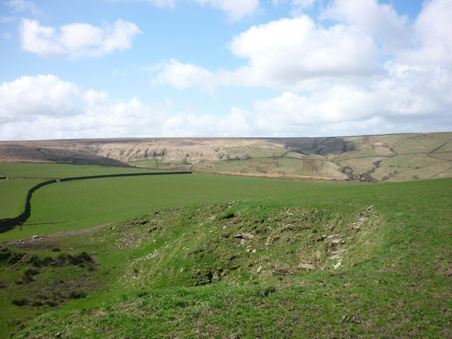
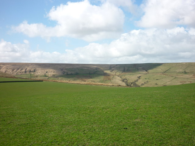
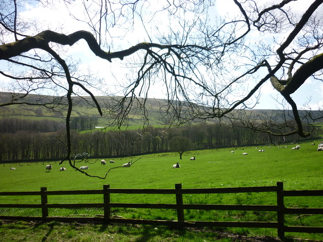
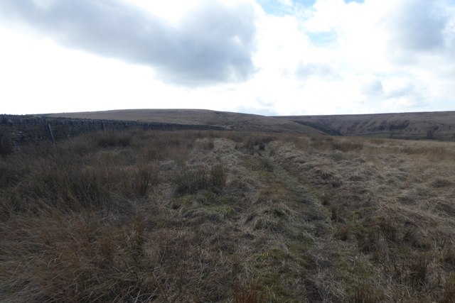
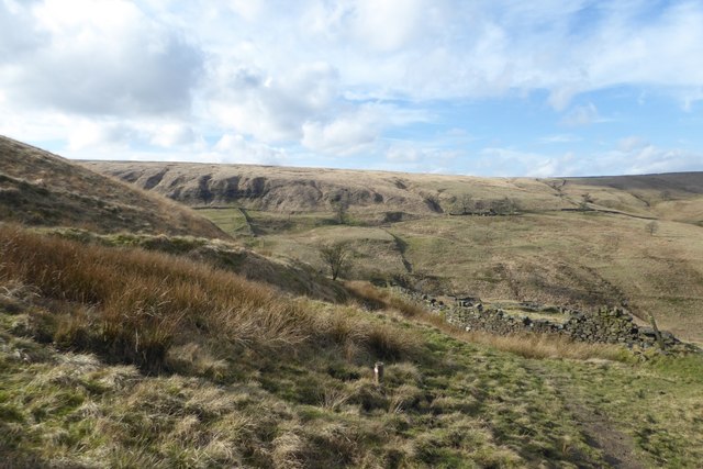
Bull Hill, also known as Holcombe Hill, is a prominent natural landmark located in the county of Lancashire, England. Rising to an elevation of 1,191 feet (363 meters), it is part of the West Pennine Moors and forms a part of the Rossendale Valley landscape. The hill is situated between the towns of Ramsbottom and Holcombe, and is easily accessible for outdoor enthusiasts and hikers.

Bull Hill offers breathtaking panoramic views of the surrounding countryside, including the beautiful landscape of Greater Manchester, the West Pennine Moors, and even the distant peaks of the Peak District National Park. On clear days, it is possible to see as far as the Welsh mountains to the west.

The summit of Bull Hill is marked by the Peel Tower, a historic tower built in the 19th century as a tribute to Sir Robert Peel, the founder of the modern police force. The tower stands at a height of 128 feet (39 meters) and serves as a popular tourist attraction. Visitors can climb the tower to enjoy the incredible views from its observation deck.

Aside from its natural beauty, Bull Hill is also known for its rich history and folklore. Legend has it that the hill is home to the infamous "Black Dog of Rossendale," a spectral black dog said to haunt the area. Several paranormal sightings and eerie occurrences have been reported by locals and visitors alike.

Overall, Bull Hill is a captivating destination, offering a combination of natural beauty, historical significance, and a touch of mystery. It provides an ideal setting for outdoor activities, picnics, and exploration, attracting both locals and tourists who seek solace in its stunning surroundings.

If you have any feedback on the listing, please let us know in the comments section below.
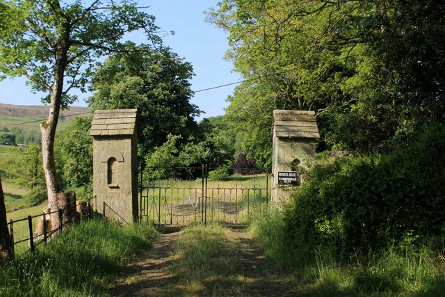
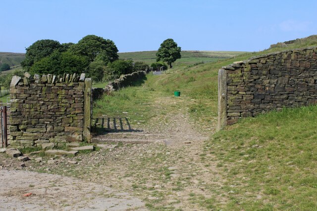
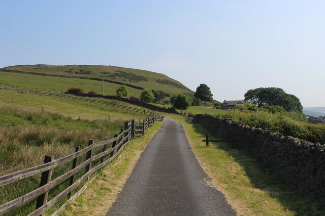
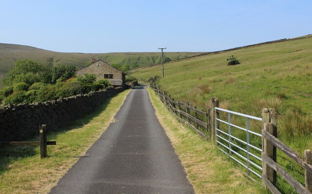
Bull Hill Images

Images are sourced within 2km of 53.664392/-2.3545158 or Grid Reference SD7618. Thanks to Geograph Open Source API. All images are credited.

Entrance to Clough House
Rossendale Way above Great House Farm A 41 mile circular high level route that roughly follows the boundary of Rossendale Borough.
Yellow indicators stamped with an "RW" logo in green leads the walker around the environs of Bacup, Rawtenstall, Haslingden and Whitworth.
Rossendale Way above Great House Farm
A 41 mile circular high level route that roughly follows the boundary of Rossendale Borough. Yellow indicators stamped with an "RW" logo in green leads the walker around the environs of Bacup, Rawtenstall, Haslingden and Whitworth.
Rossendale Way heading North East towards Great House Farm Access lane adopted by the Rossendale Way long distance footpath - with Tor Hill in the background.
Rossendale Way heading North East towards Great House Farm
Access lane adopted by the Rossendale Way long distance footpath - with Tor Hill in the background.
Rossendale Way approaching Trickling Water Barn The long distance footpath adopts this access lane, becoming more rudamentary as it passes Fall Bank Farm, slightly further on.
Rossendale Way approaching Trickling Water Barn
The long distance footpath adopts this access lane, becoming more rudamentary as it passes Fall Bank Farm, slightly further on.
From Musbury Tor to Scout Moor The wind farm on Scout Moor from the side of Musbury Tor above Helmshore, Lancashire.
From Musbury Tor to Scout Moor
The wind farm on Scout Moor from the side of Musbury Tor above Helmshore, Lancashire.
Burnt Hill Taken from the side of Musbury Tor, Helmshore, Lancashire, and looking across to Burnt Hill and Musden Head Moor.
Burnt Hill
Taken from the side of Musbury Tor, Helmshore, Lancashire, and looking across to Burnt Hill and Musden Head Moor.
Bull Hill and West Moss Taken on the side of Musbury Tor, Helmshore, Lancashire, and looking across Trickling Water and Fall Bank Farm to Bull Hill (left) and Wet Moss. Holcombe Moor lies beyond Bull Hill.
Bull Hill and West Moss
Taken on the side of Musbury Tor, Helmshore, Lancashire, and looking across Trickling Water and Fall Bank Farm to Bull Hill (left) and Wet Moss. Holcombe Moor lies beyond Bull Hill.
Barnes Height Taken from Musbury Tor, Helmshore, Lancashire, and looking south west to Barnes Height, with Musden Head Moor to the left.
Barnes Height
Taken from Musbury Tor, Helmshore, Lancashire, and looking south west to Barnes Height, with Musden Head Moor to the left.
Musden Head Taken from the top of Musbury Tor, Helmshore, Lancashire, and looking west.
Musden Head
Taken from the top of Musbury Tor, Helmshore, Lancashire, and looking west.
Alden Wood Taken on the access road to Great House Farm, Helmshore, Lancashire, and looking south to Alden Wood, with Bull Hill rising up behind, Holcombe Moor beyond that.
Alden Wood
Taken on the access road to Great House Farm, Helmshore, Lancashire, and looking south to Alden Wood, with Bull Hill rising up behind, Holcombe Moor beyond that.
Moor Road at Dowry Head This is the beginning of the old Moor Road at Dowry Head, Helmshore, Lancashire.
Moor Road at Dowry Head
This is the beginning of the old Moor Road at Dowry Head, Helmshore, Lancashire.
Dowry Head The entrance to Dowry Head, Alden Road, Helmshore, Lancashire. The old Moor Road leading up to Holcombe Moor is accessed from this lane.
Dowry Head
The entrance to Dowry Head, Alden Road, Helmshore, Lancashire. The old Moor Road leading up to Holcombe Moor is accessed from this lane.
Above Great House Farm Looking down towards the farm from Tor Hill.
Above Great House Farm
Looking down towards the farm from Tor Hill.
Wall on Musbury Park Moor Looking along  drystone wall above the Musbury Valley.
Wall on Musbury Park Moor
Looking along drystone wall above the Musbury Valley.
Grassland at High Moss Looking over the rough grass on the flat summit.
Grassland at High Moss
Looking over the rough grass on the flat summit.
Dip on High Moss Looking down towards the Musbury Valley.
Dip on High Moss
Looking down towards the Musbury Valley.
Wall beside the Rossendale Way Looking along the path near Burnt Hill.
Wall beside the Rossendale Way
Looking along the path near Burnt Hill.
Building remains at Burnt Hill Looking down from the Rossendale Way.
Building remains at Burnt Hill
Looking down from the Rossendale Way.
Show me another place!

Bull Hill is located at Grid Ref: SD7618 (Lat: 53.664392, Lng: -2.3545158)

Administrative County: Lancashire

District: Rossendale

Police Authority: Lancashire

What 3 Words

///strict.proof.laces. Near Edgworth, Lancashire

Nearby Locations

Bull Hill

Related Wikis

Pilgrims' Cross, Holcombe Moor

Pilgrims' Cross, Holcombe Moor, also called Whowell's Cross and Chatterton's Cross, is located on Holcombe Moor near Ramsbottom and Holcombe, Greater Manchester...

Alden Valley

The Alden Valley is a small valley on the eastern edge of the West Pennine Moors, west of Helmshore in Rossendale, Lancashire, England. In the 14th century...

Musbury Tor

Musbury Tor or Tor Hill is a flat-topped hill in south-east Lancashire, England. It overlooks the village of Helmshore and separates Alden Valley to its...

Chatterton, Lancashire

Chatterton is a small village in the southern part of the Rossendale Valley, Lancashire, England. It is half a mile north of Ramsbottom town centre on...

Nearby Amenities

Located within 500m of 53.664392,-2.3545158
Bull Hill
Natural: peak
Note: height 1372ft - npe
Source: npe
Lat/Long: 53.6641933/-2.3544012
The data included in this document is from www.openstreetmap.org. The data is made available under ODbL.

Have you been to Bull Hill?

Leave your review of Bull Hill below (or comments, questions and feedback).