Little Fell

Hill, Mountain in Westmorland Eden

England

Little Fell

Ford Above Hazelgill This Pennine Bridleway ford is found beside the Settle to Carlisle Railway above Hazelgill.
Ford Above Hazelgill Credit: John Walton

The requested URL returned error: 429 Too Many Requests

If you have any feedback on the listing, please let us know in the comments section below.
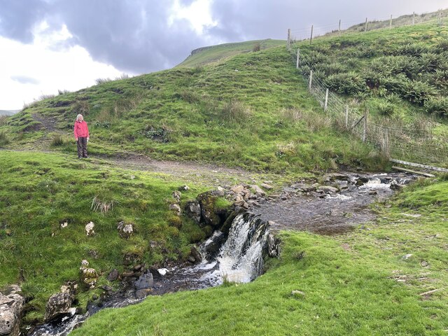
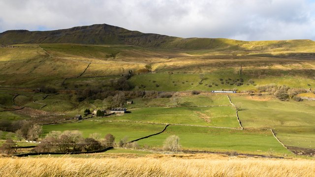
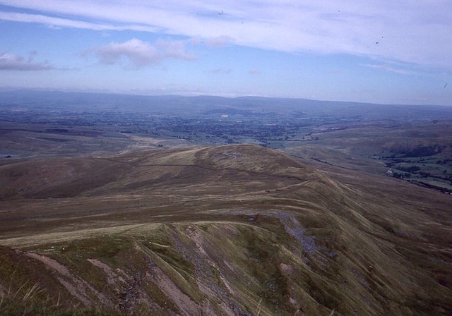
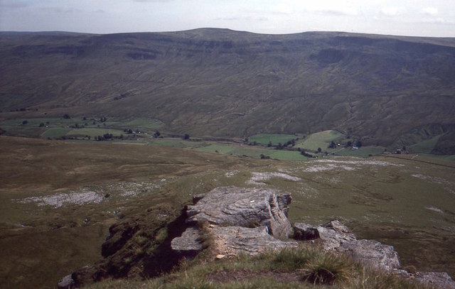
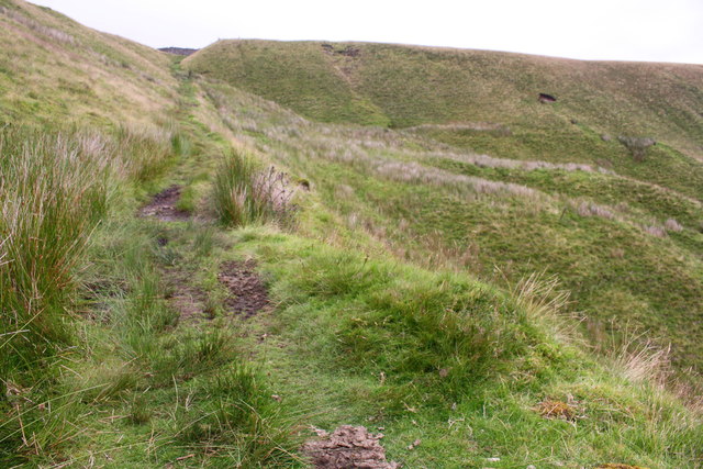
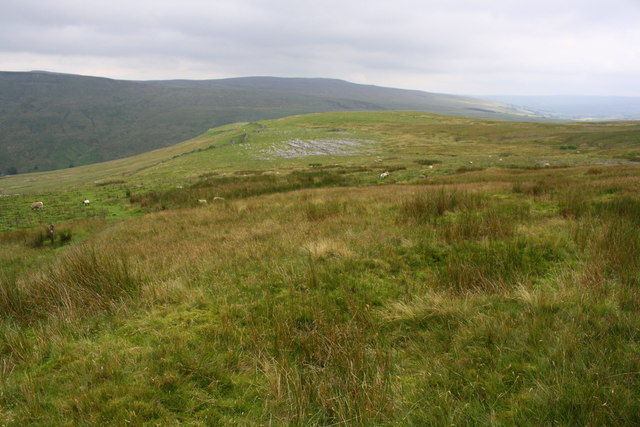
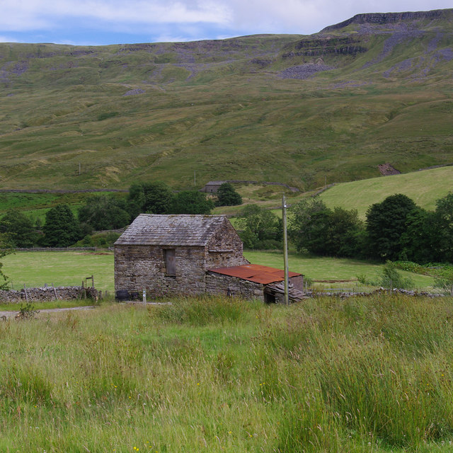
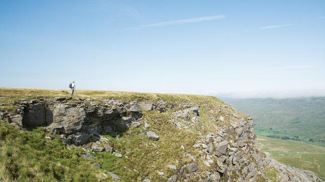
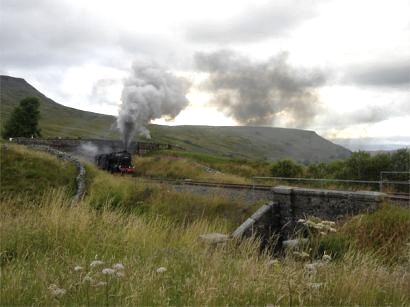
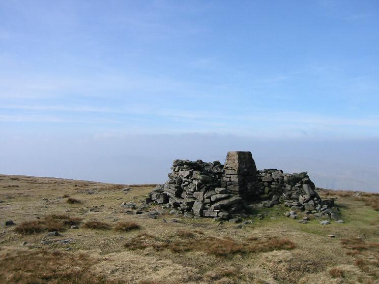
Little Fell Images

Images are sourced within 2km of 54.404012/-2.3610386 or Grid Reference NY7601. Thanks to Geograph Open Source API. All images are credited.

Ford Above Hazelgill This Pennine Bridleway ford is found beside the Settle to Carlisle Railway above Hazelgill.
Ford Above Hazelgill
This Pennine Bridleway ford is found beside the Settle to Carlisle Railway above Hazelgill.
Hazelgill Hazelgill Farm beneath Wild Boar Fell.
Hazelgill
Hazelgill Farm beneath Wild Boar Fell.
Hazelgill Farm
Hazelgill Farm
Scriddles Scriddles is the mapped name for the screes on the north ridge of Wild Boar Fell.  View north from the Nab towards the North Pennines.
Scriddles
Scriddles is the mapped name for the screes on the north ridge of Wild Boar Fell. View north from the Nab towards the North Pennines.
View off The Nab Looking over Mallerstang from Wild Boar Fell.  The limestone plinth of the hill shows well from here.
View off The Nab
Looking over Mallerstang from Wild Boar Fell. The limestone plinth of the hill shows well from here.
Ford on track crossing Hazel Gill
Ascending the Pennine Bridleway at High Dolpinsty
View from Pennine Bridleway towards Little Wold limestone pavement
Towards Scandal Head from Sandtarn Riggs
The Pennine Bridleway southeast of High Dolphinsty
Barn at Hazelrigg
Barn at Hazelrigg
Train passing Turner Hay Hill A Northern service from Carlisle to Leeds, formed of a pair of 2-car Class 158 Express Sprinter DMU's.
Train passing Turner Hay Hill
A Northern service from Carlisle to Leeds, formed of a pair of 2-car Class 158 Express Sprinter DMU's.
Train passing Turner Hay Hill A Northern service from Carlisle to Leeds, formed of a pair of 2-car Class 158 Express Sprinter DMU's.
Train passing Turner Hay Hill
A Northern service from Carlisle to Leeds, formed of a pair of 2-car Class 158 Express Sprinter DMU's.
Ascending Wild Boar Fell above High Dolphinsty
Crag rim approaching The Nab The broad summit plateau of Wild Boar Fell tapers to a fairly narrow ridge at its northern end; the location where the angle of descent of the ridge steepens is The Nab. The hill walker stands at a crag rim just south of The Nab.
Crag rim approaching The Nab
The broad summit plateau of Wild Boar Fell tapers to a fairly narrow ridge at its northern end; the location where the angle of descent of the ridge steepens is The Nab. The hill walker stands at a crag rim just south of The Nab.
The Pennine Bridleway near High Dolphinsty
The Pennine Bridleway near Little Wood
The Pennine Bridleway near Lordburn Close
Show me another place!

Little Fell is located at Grid Ref: NY7601 (Lat: 54.404012, Lng: -2.3610386)

Administrative County: Cumbria

District: Eden

Police Authority: Cumbria

What 3 Words

///streamers.emailed.rubble. Near Kirkby Stephen, Cumbria

Nearby Locations

Little Fell Little Fell

Related Wikis

Mallerstang

Mallerstang is a civil parish in the extreme east of Cumbria, and, geographically, a dale at the head of the upper Eden Valley. Originally part of Westmorland...

Outhgill

Outhgill is a hamlet in Mallerstang, Cumbria, England. It lies about 5 miles (8 km) south of Kirkby Stephen. It is the main hamlet in the dale of Mallerstang...

Pendragon Castle

Pendragon Castle is a ruin located in Mallerstang Dale, Cumbria, south of Kirkby Stephen, and close to the hamlet of Outhgill (at grid reference NY781025...

Wild Boar Fell

Wild Boar Fell is a mountain in the Yorkshire Dales National Park, on the eastern edge of Cumbria, England. At 2,323 feet (708 m), it is either the 4th...

Nearby Amenities

Located within 500m of 54.404012,-2.3610386
Little Fell
Ele: 559
Natural: peak
Source: npe
Lat/Long: 54.40398/-2.3609543
Shoregill Fell
Place: locality
Source: OS_OpenData_StreetView
Lat/Long: 54.4078053/-2.3571264
Man Made: cairn
Lat/Long: 54.4040308/-2.360985
The data included in this document is from www.openstreetmap.org. The data is made available under ODbL.

Have you been to Little Fell?

Leave your review of Little Fell below (or comments, questions and feedback).