Killsnaught Hill

Hill, Mountain in Kincardineshire

Scotland

Killsnaught Hill

Forestry road, Fetteresso forest
Forestry road, Fetteresso forest Credit: Steven Brown

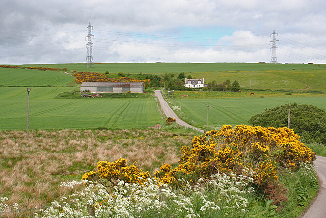
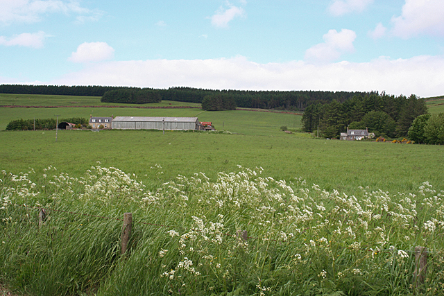
Killsnaught Hill is a prominent landmark located in Kincardineshire, Scotland. Rising to a height of approximately 272 meters (892 feet), it is considered a significant hill in the region. The hill is situated near the town of Stonehaven and offers breathtaking panoramic views of the surrounding countryside, including the North Sea coastline.

Killsnaught Hill is known for its distinctive shape, with a gently sloping eastern side and a steeper western face. It is primarily composed of granite, a common feature of the landscape in this part of Scotland. The hill is covered in heather and grasses, creating a picturesque scene that changes with the seasons.

The area surrounding Killsnaught Hill is rich in historical and archaeological significance. There are remnants of ancient settlements and stone circles nearby, indicating human activity in the area dating back thousands of years. The hill itself has been a site of interest for researchers and enthusiasts, who have discovered various artifacts and traces of past civilizations.

Visitors to Killsnaught Hill can enjoy a variety of recreational activities. The hill offers several walking trails and paths, allowing hikers and nature enthusiasts to explore its slopes and admire the stunning views. The summit provides an excellent vantage point, offering vistas of the surrounding countryside, the North Sea, and the nearby Dunnottar Castle.

Killsnaught Hill is not only a natural landmark but also a cultural and historical treasure. Its beauty, accessibility, and rich history make it a popular attraction for both locals and tourists alike.

If you have any feedback on the listing, please let us know in the comments section below.

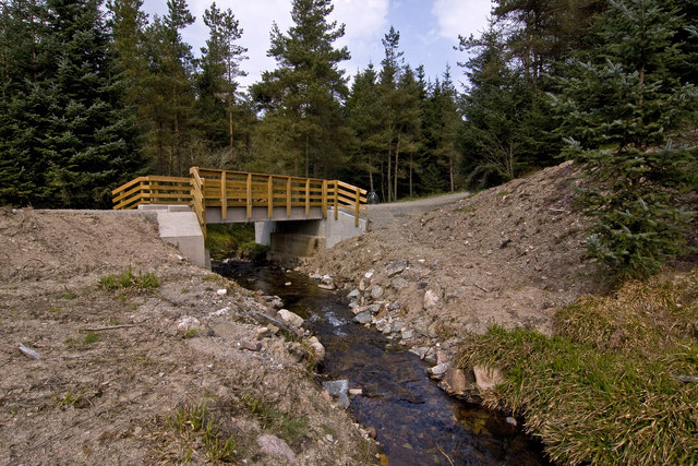
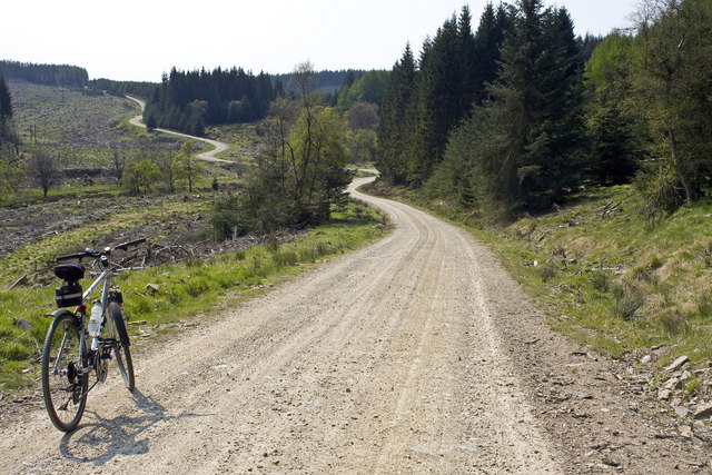
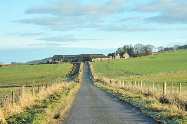
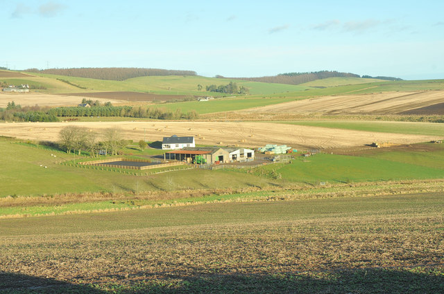
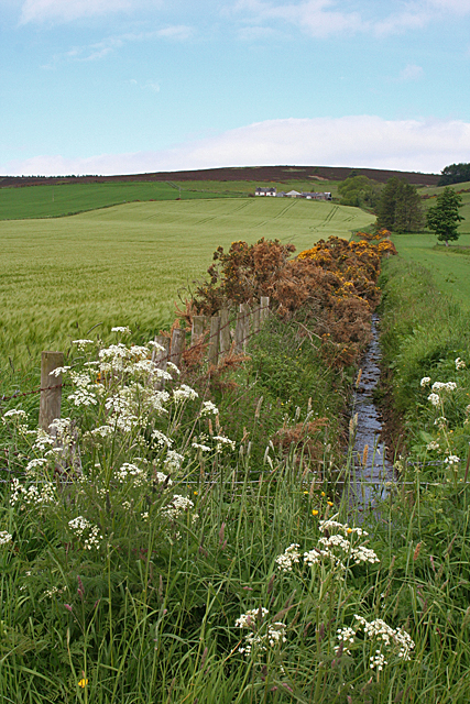
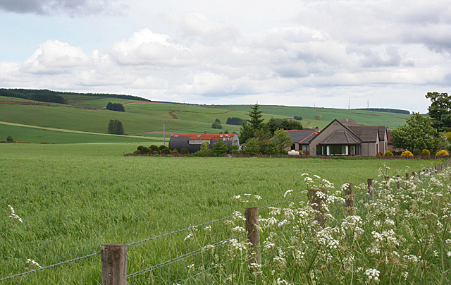
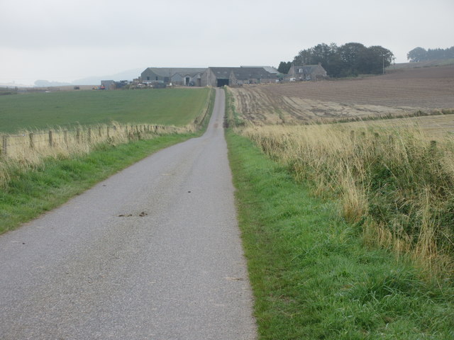
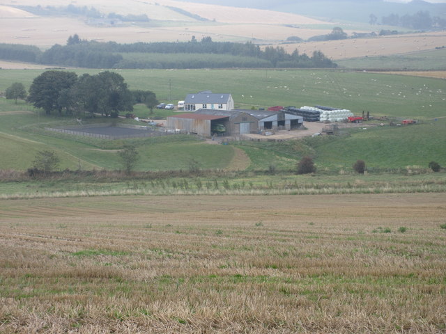
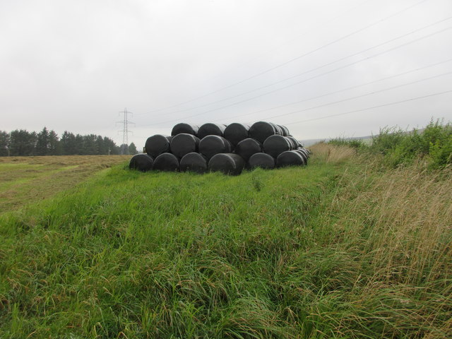
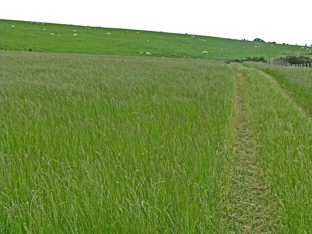
Killsnaught Hill Images

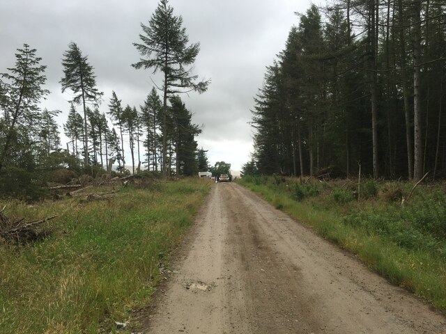
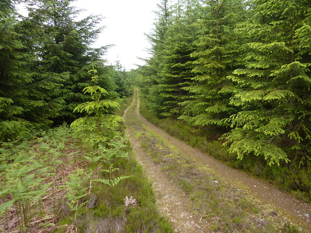
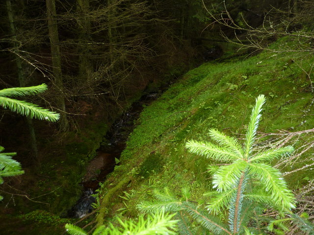
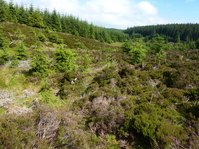
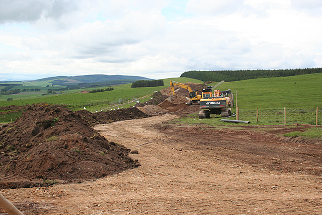
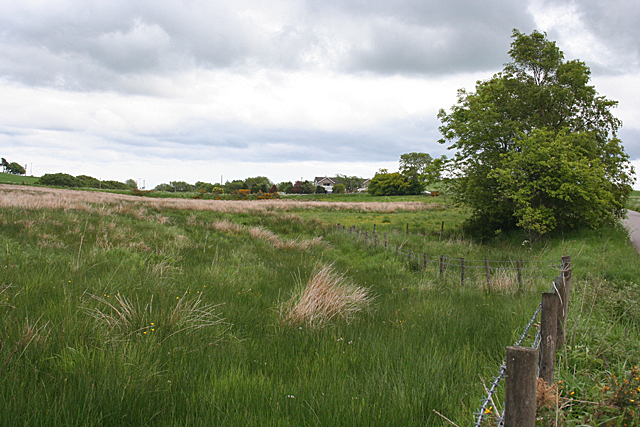
Images are sourced within 2km of 56.957349/-2.3912576 or Grid Reference NO7685. Thanks to Geograph Open Source API. All images are credited.

Forestry road, Fetteresso forest
A track in the Fetteresso Forest
Foresters Grain A burn in the Fetteresso forest
Foresters Grain
A burn in the Fetteresso forest
Looking up The Burn of Happy Lodges In Fetteresso Forest. I don't know why it has the name " Happy Lodges".
Looking up The Burn of Happy Lodges
In Fetteresso Forest. I don't know why it has the name " Happy Lodges".
Bridge over the Burn of Finglennie On the Fetteresso forest Finglennie loop bike trail.
Bridge over the Burn of Finglennie
On the Fetteresso forest Finglennie loop bike trail.
The Cryne Corse Road (track) A section of the mountain bike trail in Fetteresso forest.
The Cryne Corse Road (track)
A section of the mountain bike trail in Fetteresso forest.
Minor road near Jacksbank
Waters Farm
Waters Farm
Upper Quithel Another farm with a fine situation part-way up a south-facing slope. It might be a different description in a wild winter storm, or course.
Upper Quithel
Another farm with a fine situation part-way up a south-facing slope. It might be a different description in a wild winter storm, or course.
Construction Site It was a bit of a surprise to come across this near the top of a hill, but a nearby sign advises of construction work associated with a wind farm, so perhaps it's part of that.
Construction Site
It was a bit of a surprise to come across this near the top of a hill, but a nearby sign advises of construction work associated with a wind farm, so perhaps it's part of that.
Killer Burn This is actually more the boggy land at the foot of the Killer Burn than the burn itself.
Killer Burn
This is actually more the boggy land at the foot of the Killer Burn than the burn itself.
East Town Farm In Scots, the suffix '-ton' or '-toun' or '-town' doesn't necessarily mean an urban settlement. It is a common element in the names of farms. This is another farm with a pleasant situation in summer, if not in winter.
East Town Farm
In Scots, the suffix '-ton' or '-toun' or '-town' doesn't necessarily mean an urban settlement. It is a common element in the names of farms. This is another farm with a pleasant situation in summer, if not in winter.
Cleuchhead Cleuchhead stands well above the road on the Brae of Glenbervie, with the Hill of Bogjurgan sheltering it from the north.
Cleuchhead
Cleuchhead stands well above the road on the Brae of Glenbervie, with the Hill of Bogjurgan sheltering it from the north.
New Bungalow near Peathillock This is one of three new houses by the roadside. The Brae of Glenbervie is to the left.
New Bungalow near Peathillock
This is one of three new houses by the roadside. The Brae of Glenbervie is to the left.
Quithel Junction A road junction with the farm of Quithel just visible on the right.
Quithel Junction
A road junction with the farm of Quithel just visible on the right.
Road to Jacksbank Minor road running eastwards towards Jacksbank Farm.
Road to Jacksbank
Minor road running eastwards towards Jacksbank Farm.
Looking down on Waters Waters Farm viewed from the roadside above to the south.
Looking down on Waters
Waters Farm viewed from the roadside above to the south.
Wrapped bales Wrapped bales to the east of Hillview Cottages.
Wrapped bales
Wrapped bales to the east of Hillview Cottages.
Show me another place!

Killsnaught Hill is located at Grid Ref: NO7685 (Lat: 56.957349, Lng: -2.3912576)

Unitary Authority: Aberdeenshire

Police Authority: North East

What 3 Words

///scrub.quench.meanders. Near Stonehaven, Aberdeenshire

Related Wikis

Bogjurgan Hill

Bogjurgan Hill is an elevated landform at the southern verge of the Fetteresso Forest in Aberdeenshire, Scotland. Its top is at an elevation of 299 metres...

Fetteresso Forest

The Fetteresso Forest is a woodland that is principally coniferous situated in the Mounth range of the Grampian Mountains in Aberdeenshire, Scotland. The...

Craiginour

Craiginour is a hill located near Cowie Water in Stonehaven, Aberdeenshire, Scotland. Its summit is at 355 metres (1,165 ft). == References ==

Carmont railway station

Carmont railway station, on the Aberdeen Railway, served the rural area of Carmont in Aberdeenshire, Scotland from 1855 to 1964. == History == The station...

Have you been to Killsnaught Hill?

Leave your review of Killsnaught Hill below (or comments, questions and feedback).