Bellbeaver Rigg

Hill, Mountain in Cumberland Eden

England

Bellbeaver Rigg

Fence off tree planting area above the South Tyne
Fence off tree planting area above the South Tyne Credit: shikari

Bellbeaver Rigg is a prominent hill located in the county of Cumberland, England. Rising to an elevation of approximately 377 meters (1,237 feet), it is classified as a hill rather than a mountain. It is situated within the Lake District National Park, which is renowned for its breathtaking landscapes and picturesque scenery.

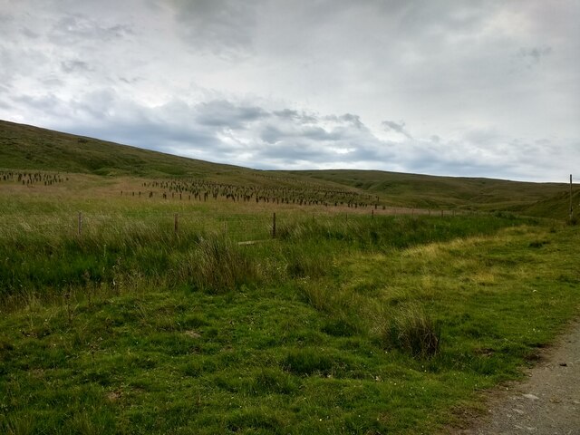
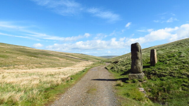
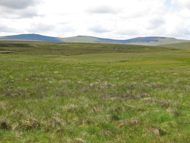
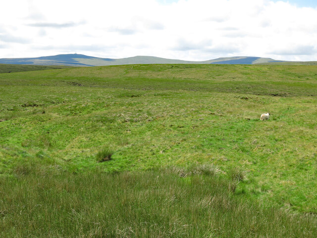
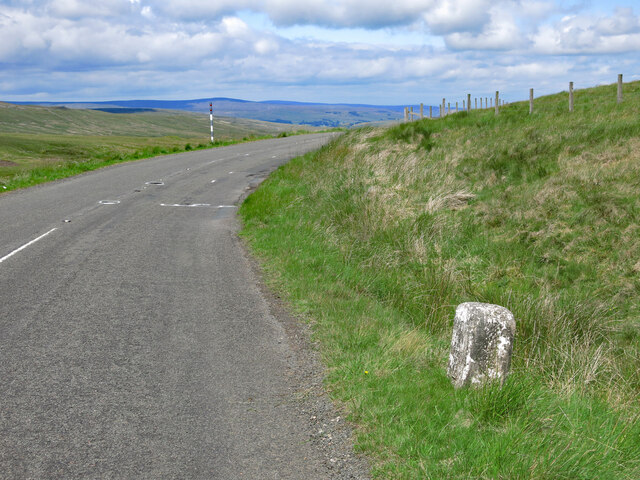
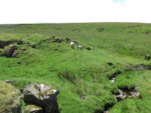
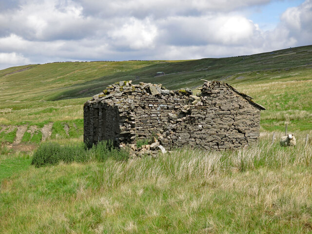
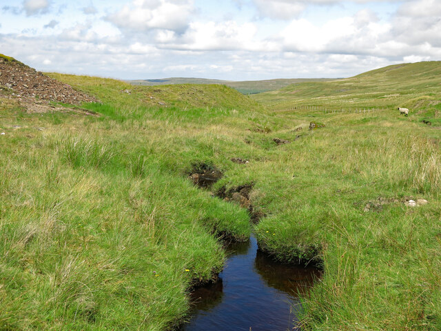
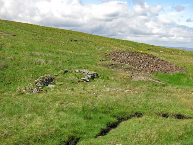
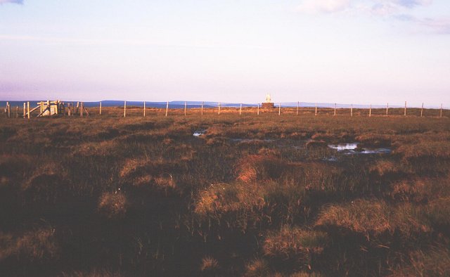
Bellbeaver Rigg offers stunning panoramic views of the surrounding countryside, with its summit providing a vantage point from which to admire the vast expanse of the Lake District. The hill is composed mainly of rocky terrain, interspersed with patches of heather and grassland, creating a diverse and visually appealing landscape.

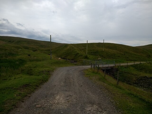
The ascent to the top of Bellbeaver Rigg can be challenging but is also accessible to hikers of various levels of experience. A well-defined footpath leads visitors up the hill, allowing them to appreciate the area's natural beauty as they climb. The hill is popular among outdoor enthusiasts, including walkers, hikers, and nature lovers, who come to explore its trails and immerse themselves in the tranquility of the Lake District.

The location of Bellbeaver Rigg makes it a convenient starting point for various outdoor activities. Nearby, there are opportunities for fishing in the picturesque lakes, such as Ennerdale Water and Crummock Water. Additionally, the hill is in close proximity to other notable landmarks in the Lake District, including Buttermere, Loweswater, and the iconic Scafell Pike, the highest peak in England.

Overall, Bellbeaver Rigg offers a magnificent natural setting, captivating visitors with its scenic views, diverse terrain, and proximity to other notable attractions within the Lake District National Park.

If you have any feedback on the listing, please let us know in the comments section below.

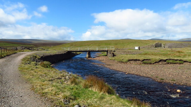
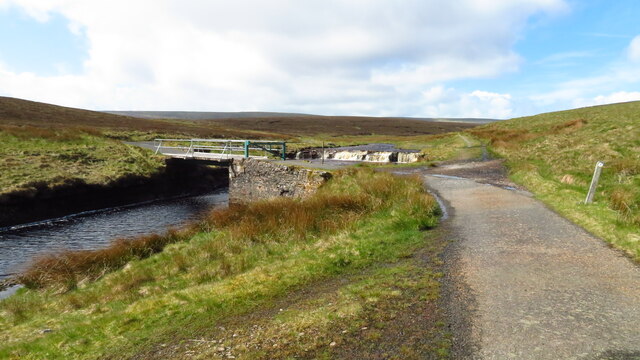
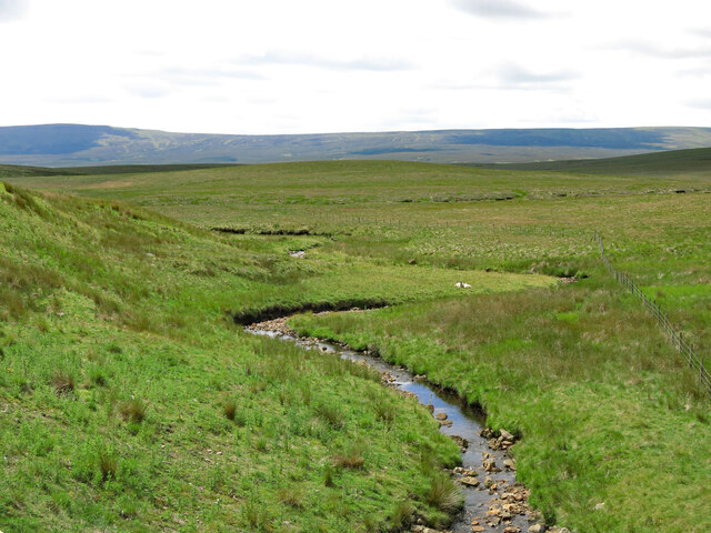
Bellbeaver Rigg Images

Images are sourced within 2km of 54.71007/-2.3694191 or Grid Reference NY7635. Thanks to Geograph Open Source API. All images are credited.

Fence off tree planting area above the South Tyne
Bridge over a stream on the South Tyne trail track
Old makeshift incline on the spoil heap for an adit on Calvert Burn
Adit on Calvert Burn
Stone markers at the source of the R South Tyne
Bridge over the R Tees close to Troutbeck Foot
Bridge over Trout Beck leading towards Moor House
Waterfalls on Trout Beck by bridge at Moor House
Crook Burn (2)
Crook Burn (2)
Moorland around John's Burn Looking WSW towards (left to right) Great Dun Fell, Little Dun Fell and Cross Fell - the western horizon that dominates this area of moorland at the head of the River South Tyne.
Moorland around John's Burn
Looking WSW towards (left to right) Great Dun Fell, Little Dun Fell and Cross Fell - the western horizon that dominates this area of moorland at the head of the River South Tyne.
Slack's Rigg
Slack's Rigg
Old milestone by the B6277 north west of Crookburn Bridge See <a href="https://www.geograph.org.uk/photo/5622937">NY7736 : Old Milestone by the B6277, below Burnhope Seat</a> taken in 2202; since then, the milestone has lost most of its white paint, and only the horizontal top line of the benchmark is visible. 
The location of the milestone is shown in <a href="https://www.geograph.org.uk/photo/7548976">NY7736 : The B6277 north west of Crookburn Bridge and Slack's Rigg</a> and <a href="https://www.geograph.org.uk/photo/7548979">NY7736 : The B6277 north west of Crookburn Bridge</a>.
Old milestone by the B6277 north west of Crookburn Bridge
See NY7736 : Old Milestone by the B6277, below Burnhope Seat taken in 2202; since then, the milestone has lost most of its white paint, and only the horizontal top line of the benchmark is visible. The location of the milestone is shown in NY7736 : The B6277 north west of Crookburn Bridge and Slack's Rigg and NY7736 : The B6277 north west of Crookburn Bridge.
The B6277 north west of Crookburn Bridge and Slack's Rigg Shows the location of the <a href="https://www.geograph.org.uk/photo/7548967">NY7736 : Old milestone by the B6277 north west of Crookburn Bridge</a>; Cross Fell on the far horizon (half left).
The B6277 north west of Crookburn Bridge and Slack's Rigg
Shows the location of the NY7736 : Old milestone by the B6277 north west of Crookburn Bridge; Cross Fell on the far horizon (half left).
The B6277 north west of Crookburn Bridge Shows the location of the <a href="https://www.geograph.org.uk/photo/7548967">NY7736 : Old milestone by the B6277 north west of Crookburn Bridge</a>.
The B6277 north west of Crookburn Bridge
The upper valley of Clargill Burn
Old lead mine building by Clargill Burn The building had most of its stone slab roof in 2005 <a href="https://www.geograph.org.uk/photo/86968">NY7736 : Derelict hut next to Clargill Burn</a> (photographed by Andrew Smith; by 2017, much of the north end had collapsed <a href="https://www.geograph.org.uk/photo/5407950">NY7736 : Hiddenhole Lead Mine (disused)</a> (photographed by Matthew Hatton). Although there's now a 'B' road only 200 metres away, this is a desolate place, some 580 metres (1,900 ft) above sea level.
Old lead mine building by Clargill Burn
The building had most of its stone slab roof in 2005 NY7736 : Derelict hut next to Clargill Burn (photographed by Andrew Smith; by 2017, much of the north end had collapsed NY7736 : Hiddenhole Lead Mine (disused) (photographed by Matthew Hatton). Although there's now a 'B' road only 200 metres away, this is a desolate place, some 580 metres (1,900 ft) above sea level.
Clargill Burn by the former lead mine
Remains of lead mine by Clargill Burn
Show me another place!

Bellbeaver Rigg is located at Grid Ref: NY7635 (Lat: 54.71007, Lng: -2.3694191)

Administrative County: Cumbria

District: Eden

Police Authority: Cumbria

What 3 Words

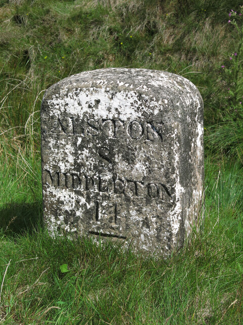
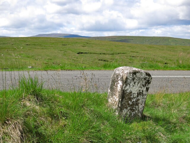
///engineers.tweaked.detect. Near Alston, Cumbria

Related Wikis

Moorhouse and Cross Fell

Moorhouse and Cross Fell is a Site of Special Scientific Interest covering an extensive area of moorland in the Wear Valley district of west County Durham...

Burnhope Seat

Burnhope Seat is a high moorland fell in the North Pennines Area of Outstanding Natural Beauty (AONB) in northern England. It lies between the heads of...

Ashgill Force

Ashgill Force is a waterfall near Alston, Cumbria, England. The fall is located on Ashgill Beck and is reasonably easily accessible from the B6277 (which...

Cow Green Reservoir

Cow Green Reservoir is a 2-mile (3 km) long water reservoir forming part of the border between the historic counties of Westmorland and County Durham in...

Garrigill

Garrigill, Cumbria is a small village in the North Pennine region of the UK, situated on the banks and close to the source of the River South Tyne. Historically...

Upper Teesdale

Upper Teesdale is a Site of Special Scientific Interest (SSSI) in the west County Durham, England. It encompasses an extensive upland area that includes...

Harwood, County Durham

Harwood is a small valley and village near the head of Teesdale. Harwood Beck is a tributary of the River Tees in County Durham which forms a short valley...

Cross Fell

Cross Fell is the highest mountain in the Pennines of Northern England and the highest point in England outside the Lake District. It is located in the...

Nearby Amenities

Located within 500m of 54.71007,-2.3694191
Bellbeaver Rigg
Ele: 620.3
Man Made: survey_point
Natural: peak
Source: NPE
Lat/Long: 54.710532/-2.3703519
Abandoned: yes
Description: Bell Pit
Man Made: mineshaft
Lat/Long: 54.7115008/-2.3713089
Abandoned: yes
Description: Bell Pit
Man Made: mineshaft
Lat/Long: 54.7112199/-2.3721476
Abandoned: yes
Description: Bell Pit
Man Made: mineshaft
Lat/Long: 54.7114379/-2.3721509
Abandoned: yes
Description: Bell Pit
Man Made: mineshaft
Lat/Long: 54.7107839/-2.3729391
Abandoned: yes
Description: Bell Pit
Man Made: mineshaft
Lat/Long: 54.7105557/-2.3735988
Abandoned: yes
Description: Bell Pit
Man Made: mineshaft
Lat/Long: 54.7103441/-2.3741484
The data included in this document is from www.openstreetmap.org. The data is made available under ODbL.

Have you been to Bellbeaver Rigg?

Leave your review of Bellbeaver Rigg below (or comments, questions and feedback).